|
If you're looking to plan a vacation to Belize based around fishing, here's a great fishing guide you can use. The Belize Barrier Reef is located very close to shore (off Ambergris Caye), so you can be literally fishing in a matter of minutes.
0 Comments
Dorado is a Game Fish Found in the Waters of Belize 1. Grilled Dorado (aka Mahi Mahi) This is one of the most popular ways to cook Dorado, and people will be calling you the next "Top Chef” after they taste this outstanding Dorado recipe. MARINADE
2. Grilled Dorado with Spicy Chili Mango Sauce This is a great grilled fish recipe, with an added kick of flavor. Spice up your dorado, with spicy chili mango sauce. MANGO SAUCE
3. Dorado (Mahi-Mahi) Fish Tacos Who doesn't like fish tacos? Our family is a big fan of these, and if you get the fresh made corn tortillas (made on island), they simply are the best.
4. Dorado (Mahi-Mahi) Ceviche This Dorado is one of the best seafood appetizers you can make to impress guests. The only bad news is that it takes upwards of 1 hour and 30 minutes to have fully ready to serve, but trust me, the wait is well worth it.
5. Dorado (Mahi-Mahi) Rockefeller Although it might be one of the heavier Dorado (Mahi-Mahi) recipes in terms of calories, you can’t go wrong with this combo of oysters, bacon, butter, and cheese. DORADO FISH
6. Sesame Crusted Dorado w/ Soy Shiso Ginger Sauce Pan seared and nothing but delicious! This is what happens when Dorado fuses with Japanese cooking! I use to work in the chicken of a Japanese restaurant. This was one of my favorites. SOY SHISO GINGER SAUCE
7. Pecan Nut Crusted Dorado (Mahi-Mahi)
I am a huge fan of anything with pecan nuts. We really enjoyed this recipe.
The ancient Mayan civilization flourished in the steamy jungles of present-day southern Mexico, Belize, and Guatemala. The ancient Maya classic age (the peak of their culture) occurred between 300 and 900 A.D. before they went into a mysterious decline. The Maya culture has always been a bit of an enigma, and even the experts disagree on certain aspects of their society. Across Belize today, you can find sprawling ancient cities with towering pyramids, ball-courts, saunas, monumental sculptures, and enigmatic hieroglyphs—all thanks to the Maya. From the Yucatan in the north to Honduras in the south, Belize in the east, and Mexico City in the west, the ruins of Meso-America (many of which are over a thousand years old) continue to intrigue and fascinate archaeologists and researchers worldwide. In an attempt to help you decipher the profound history of the Mayans, we piece together astonishing facts about the Mayans - a civilization that developed its own written language, architecture as well as mathematical and astronomical system. Here are 30 intriguing things, I bet you didn't know about this ancient civilization. 1. Their Pyramids & Cities are Still Being Discovered. It’s amazing to think that something as large as a pyramid could elude archaeologists today. But it was only a few years ago that a Maya pyramid was even discovered. Hidden under what many thought was a natural hill. Underneath one natural hill, was actually Mexico's tallest pyramid at 246 feet in height, surpassing the 213-foot Pyramid of the Sun at Teotihuacan. 2. They Had Kings & Royal Families. Each major Mayan city had a king (or Ahau). The Maya rulers claimed to be descended directly from the sun, moon, or planets, which gave them divine ancestry. Because he had the blood of gods, the Ahau (king) was an important conduit between the realm of man and the heavens and underworld, and often had key roles in ceremonies. The Ahau (king), was also a wartime leader, expected to fight and play in the ceremonial ball game. When the Ahau (king) died, rulership generally passed to his son, although there were exceptions. There was even a handful of queens ruling mighty Mayan city-states. 3. Studies Show, Ancient Mayan Civilizations Were Huge. While the studies and facts about the Mayans are indicative of a vast and flourishing civilization, it is unclear how an empire such as theirs declined. Many of the great cities were abandoned before the Spanish discovered the ruins. The exact knowledge (of the Mayan civilization remained a mystery to the conquistadors. Research shows, that each city may have housed well over 100,000 inhabitants. Many scholars believe the reason behind the decline, has to do with such factors as drought, famine, climate and over population. 4. They Had a Complicated System of Hieroglyphs. Mayan writing, which dates to the late Preclassic period (300 BCE to 100 CE), is preserved on buildings, stone monuments, rare books, and pottery. While words in the English language are formed with combinations of 26 letters, written Mayan words are formed from various combinations of more than 800 hieroglyphs, each representing a syllable. The system is thought to be the most sophisticated of its kind in Meso-America. Only in the last few decades have they gained the ability to read the glyphs. 5. An Archaeologist Accidentially Cracked Mayan Handwriting. Tatiana Proskouriakoff, a Siberia-born American and trained architect, couldn't find a job in her field. So she started sketching for a curator at Penn Museum in Philadelphia in the 1930s. She was invited on an expedition to the Piedras Negras (a Maya site in Guatemala). She was the first to recognize that the Mayas' "upended frog" glyph represented birth and that their “toothache” glyph represented the date the king ascended to the throne, which led to the identification of birth and death announcements, as well as the names of the rulers for a Maya dynasty. 6. The Maya Wrote Books & The Europeans Burned Them. The Maya wrote books in their elaborate hieroglyphic script on long strips of durable paper made from the inner bark of fig trees. But there are just three Maya codices that survive today: the Dresden Codex, the Madrid Codex, and the Paris Codex. (There’s also the fragmentary Grolier Codex, but scholars dispute its authenticity.) Not all of the Maya were literate, as the books seem to have been produced and used by the priest class. Many of the books fell victim to the damp conditions of Meso-America, others were destroyed by the arrival of Europeans. Diego de Landa, a Franciscan priest from Spain (in Yucatan in the 1540's, describes), “We found a large number of books in their letters (superstition & lies of the devil), we burned them all", which we later regretted. 7. The Mayans Were the First Civilization Recorded, to Use the Number "0". Perhaps the only ones civilization (outside the Babylonian system), are the Maya's. It is believed that they are the first recorded civilization to have used the number 0, as a place holder. 8. Their Calendars Were Complex. There was a lot of talk in certain paranoid corners on the Internet that doomsday, was predicted by the Maya calendar, as being December 21, 2012. This was the date that their "Long Calander" ended after 5,125 years. This calendar was impressive because it used zero as a placeholder—one of the earliest uses of zero as a mathematical concept in history. Was this the only calendar the Maya used? No, they also had a 260-day sacred calendar (called Tzolk’in), which was used to plan religious ceremonies, as well as a 365-day solar calendar known as the Haab'. 9. They Didn't Think the World Would End in 2012? As December of 2012 approached, many people noted that the Maya calendar would soon end. It’s true, as the Maya calendar system was complicated. To make a long story short, it reset to zero on December 21, 2012. This led to all sorts of speculation, from a new coming of the Messiah to the end of the world. The ancient Maya, however, did not seem to worry much about what would happen when their calendar reset. They may have seen it as a new beginning of sorts, but there is no evidence that they predicted any disasters. El Mirado & Tikal are both in Central America 10. The Mayan People Built Impressive Stone Pyramids as Temples to Their gods. It is believed that their impressive pyramid structures (built over 2,000 years ago), during the middle of America (aka Meso-America), were built in honor to their gods. These temples aided them in their worship, and many of these temples stand as a historial reminder (for us today), of a society that once existed. 11. They Saw Their Gods in the Sky. The Maya were obsessive astronomers who kept very detailed records of the movements of the stars, sun, moon, and planets. They kept accurate tables predicting eclipses, solstices, and other celestial events. Part of the reason for this detailed observation of the heavens was that they believed that the sun, moon, and planets were gods moving back and forth between the heavens, the underworld (Xibalba), and the Earth. Celestial events such as equinoxes, solstices, and eclipses were marked by ceremonies at Maya temples. 12. They Were Highly Spiritual People, and Worshiped a Variety of gods. The Mayan people were very spiritual people. They worshiped a complex pantheon of deities and gods. They believed that some of these gods, could transform themselves into human and animal species. Here's what we know about their gods:
13. They Believed In Three (3) Worlds (Heaven, Earth, Underground). Mayan's believed in the concept of three (3) different worlds (1) heaven, (2) earth, (3) the underworld. This is represented by a giant world tree. 14. Their Bible Still Exists. Today, experts lament how so little is known about the Maya today, and how this entire culture has been lost. Yet one remarkable document that has survived is the Mayan Bible (Popol Vuh). This sacred book describes the creation of mankind and the story of Hunahpu and Xbalanque, the hero twins, and their struggles with the gods of the underworld. The Popol Vuh stories were traditional ones, and at some time a Quiché Maya scribe wrote them down. Sometime around 1700 A. D., Father Francisco Ximénez borrowed that text, which was written in the Quiché language. He copied and translated it, and although the original has been lost, Father Ximénez’s copy survives. 15. They Were More Violent than Originally Thought. The traditional view of the Maya was that they were a peaceful people, content to gaze at the stars and trade with one another for jade and pretty feathers. That was before modern researchers deciphered the glyphs left behind on the statues and temples. It turns out that the Maya were as fierce and warlike as their later neighbors to the north, the Aztecs. Scenes of wars, massacres, and human sacrifices were carved into stone and left behind on public buildings. The warfare between city-states got so bad, that many believe that it had much to do with the eventual decline and fall of the Maya civilization. 16. They Painted Human Sacrifices Blue. The Maya cities fought frequently with one another and many enemy warriors were taken captive. These captives were usually enslaved or sacrificed. High-level captives such as nobles or kings, were forced to play in the ceremonial ball game against their captors, re-enacting the battle they lost (afterwards sacrificed). The vivid pigment known as Maya Blue has long fascinated archaeologists because it’s incredibly resilient, surviving for centuries on stone monuments even in the harsh conditions of Meso-American jungles. But this cheerful color was also used to identify those who would be sacrificed. When the Maya wanted to please the rain god, they painted human sacrifices blue. 17. They Played Extreme Sports. The Maya played a game known as Pitz, on ballcourts. Players would try to pass a heavy rubber ball (about the size of a soccer ball) without using their hands while wearing equipment to protect their ribs, knees and arms. The ultimate goal was to get the ball through a very high stone hoop. Playing the sport wasn’t exactly a pastime, but rather an important ritual, and losing could mean death. 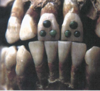 18. They Had Pretty Intense Beauty Regimens. The Maya were not content with simply donning clothes and makeup to make themselves beautiful. In childhood, males and females alike had their head bound to artificially deform their skulls into an elongated shape, which probably signified their social status. The Maya also drilled holes into their front teeth and inlaid them with jade, pyrite, hematite or turquoise. They basically invented the grill. 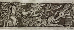 19. They Took Ritual Enemas. For the Maya, consuming hallucinogens and intoxicants were the best way to talk to spirits. They drank substances like balché, which was made with fermented (and possibly psychedelic) honey. But to get inebriated more quickly, and perhaps to avoid vomiting, they may have administered alcohol and psychoactives through the rectal route. There are a lot of scenes on Maya pottery depicting enemas in a ritual context. Researchers investigating the effects of an ancient ritual enema in the 1980s did some self-experimentation and tried it out for themselves, and reported that their results “certainly support the theoretical suggestion that alcohol is absorbed well from an enema.” 20. They Traded Extensively. Trade made up a big part of the Mayan way of life. The Mayan people were keen traders and merchants and had trade networks from Mexico throughout Central America. They traded for two sorts of items: prestige items and subsistence items. The subsistence items included basic necessities (like food, clothing, salt, tools, and weapons). Prestige items were things coveted by the Maya that were not crucial to daily life (for example: bright feathers, jade, obsidian, and gold). The ruling class treasured prestige items and some rulers were even buried with their possessions, giving modern researchers clues into Mayan life and who they traded with. 21. The Mayan Culture & Tranditions. The Ancient Maya civilization may have fallen into decline a thousand years ago, but they still existed when Spanish conquistadors arrived in the early 1500s. Like other American peoples, they were conquered and enslaved, their culture erased, their books destroyed. The Maya people proved more difficult to assimilate than most. For 500 years, they fought hard to maintain their culture and traditions. In Guatemala and parts of Mexico and Belize, there are still ethnic groups who hold fast to their traditions, language, dress, and the religion of their ancestors. 22. They Had a Complex Study of Mind, Body, Science, Rituals & Religion. The Mayan people were very intelligent. They had a complex way of studying the mind, body, science, rituals, religion, and medicine as to how to treat ailments. Scholars believe the Mayans administered critical medical treatments with the help of hallucinogenic drugs. 23. They Appreciated a Good Sweat. The Maya built sauna-like structures out of stone or adobe that were used for health purposes and ritual cleansing. Sweat houses have been found at various Mayan sites such as, Tikal (in Guatemala) and Hoya de Ceren (a Maya village in El Salvador), buried in volcanic ash around 600 CE. The earliest known sweat-bath was uncovered at Cuello, in northern Belize. At 3,000 years old, it predates the famous bath houses of the ancient Roman empire. 24. They May Have Domesticated Turkeys. Turkey's were first domesticated by the Maya. Turkeys weren’t just used for food; the Maya's also kept them for bird parts like bones and feathers, to create fans, tools, and musical instruments. Mexican turkey bones dating to the Preclassic Maya period were discovered at the archaeological site of El Mirador in Guatemala. This location was well outside of the species’ range in the wild, leading archaeologists to conclude that the Maya had domesticated turkeys by this point. 25. They Were Chocolate Eaters. Over 3500 years ago, the Olmecs of Meso-America became probably the first to realize that with some work you could consume chocolate, but the Maya turned it into an art form. Archaeological evidence suggests the Maya were processing cacao at least 2600 years ago. The chocolate they produced, wasn't anything like the chocolate we eat and drink today. The Maya would mix cacao with water, honey, chili peppers, cornmeal, and other ingredients to make a foamy, spicy drink. Maya art and hieroglyphs suggest drinking cacao was an important part of celebrations and rituals; the Dresden Codex, for example, shows an image of the god of sustenance K'awil holding a vessel with cacao beans. 26. They Had A System For Doing Everything & How to Name Children. Mayan people are extremely organized, and had a system for everything they did (including how to name their children). With each day having a specific name for boys and girls respectively, the Mayans named their children with regards to the day on which they were born. 27. Archaeologists Still Debate Why the Civilization Went Into Decline. The civilization was really hitting its stride at the peak of the Classic Maya period (300 to 660 CE). Things started to decline in the 8th & 9th centuries. Maya cities in the southern lowlands (which once boasted of populations up to 70,000 people), were abandoned. Scientists and archaeologists have pointed to a variety of culprits to explain what happened, including drought, rampant raiding and warfare among Maya city-states, migration to the beach and over population, or perhaps some fatal combination of those things. 28. No One Knows What Happened To Them. In 700 A.D. or so, the Maya civilization was going strong. Powerful city-states ruled weaker vassals, trade was brisk, and cultural achievements such as art, architecture, and astronomy peaked. By 900 A.D., however, the classic Maya powerhouses like Tikal, Palenque, and Calakmul had all fallen into decline and would soon be abandoned. So, what happened? No one knows for sure. Some blame warfare, others climate change, and still other experts claim it was disease or famine. Possibly it was a combination of all of these factors, as the experts can’t seem to agree on one root cause. 29. They Did Not Vanish. Sure, many of the great Maya cities were mysteriously deserted, but the people didn’t disappear. The descendants of the Maya are still around today, many of them living in their ancestral homelands (like Belize & Guatemala), where Maya people actually make up a majority of the population. “Maya” is really an umbrella term for many different indigenous ethnic group who may speak different Mayan languages such as Yucatec, Quiche, Kekchi, or Mopan. 30. Their Artifacts & Monuments Are At Risk. In Guatemala and Belize, locals use the word "huecheros" to refer to people who loot archaeological sites. Illegally excavated vases, statues, and other artifacts from Maya sites have made their way into the illicit antiquities market, and looters’ tunnels destroy archaeological sites in the process. In one striking example, a pyramid was cut in half by looters at the Maya city of Xultun in Guatemala. In some cases, Maya antiquities have been returned to their country of origin. The Denver Art Museum returned a carved wooden doorway lintel to Guatemala in 1998 when the artifact was found to have been taken from El Zotz, a Maya settlement just west of the great city of Tikal. Every country in the world has dangerous animals, and Belize is no exception. Most of you, will never encounter many of these critters on your vacation. None-the-less, it's still interesting to read about them and the role they play in the Belize eco-system. Belize is home of many dangerous creatures. Smaller animals can actually be more of a threat to humans than larger animals. To compensate for their size, nature has given many small animals weapons such as fangs and stingers to defend themselves. These are the animals you are more likely to meet as you unwittingly move into their habitat, or they slip into your environment unnoticed. ON LAND BULLET ANTS Bullet Ant - Also known by locals as the "24 hour ant". From the moment you are bitten, you will "waves of burning, throbbing, all-consuming pain, that continues unabated for up to 24 hours. Bullet ants are named after this powerful and potent sting, which is said to be as painful as being shot with a bullet. Worker ants are 18-25 mm long and look like stout, reddish-black, wingless wasps. Certainly not something to mess around with. The pain caused by this ant is greater than any other ant species, and is ranked as the most painful. BLACK WIDOW SPIDER Black Widow Spider - Black Widow Spiders are extremely poisonous arachnids (not insects). Their venom is 15 times as poisonous as the venom of the prairie rattlesnake. These venomous spiders are found in warm and temperate climates all around the world. They live in dark places, in drain pipes, under logs and rocks. The Black widow spider is one of the most poisonous and dangerous spiders in North & Central America. They are usually identified by their black color and red marking on the underside of their abdomen, also called the opisthosoma. This red marking is usually shaped like an hour glass. What do they look like? - The female black widow spider is darker and larger than the male. Where the female is usually dark black, the male is often dark brown and doesn't have as bright red of an hour glass shape on the abdomen. The female can grow to about ½ an inch long body and 1 ½ inch leg span. The male black widow is typically around the half the size of the female. How poisonous are they? - The black widow spider is the most poisonous spider in North America. The male and young black widows are generally not considered dangerous to humans. Upon getting bitten by a black widow, you should seek medical attention immediately. If you can catch the spider, it will be helpful in identifying the type of spider and potential medical remedies. If you see a black widow, do not play with it. Tell your parents or your teacher immediately. Where do they live? - The female black widow spider generally builds her webs low to the ground. Once she finds a good spot and builds her web, she will often stay in or around her web for the majority of the time. Most of the time she will hang belly up within her web, making identification of the hour glass mark easier. This also warns off predators, which will recognize the bright color and not want to eat her. Even though eating a poisonous spider might not kill a predator, like a bird, it can make them sick. Fun Facts About the Black Widow Spider
BROWN RECLUSE SPIDER Brown Recluse Spider - Also known as the Fiddleback Spider. Brown Recluse Spiders are shy and nonaggressive, but they have a powerful poison. They usually only bite when pressed against the skin, such as when tangled up within clothes, bath towels, or in bedding. Occasional bites happen because people and brown recluses often share the same living space. These spiders like dark corners and places inside the house, and also live under furniture, boxes and books. A minority of brown recluse spider bites form a necrotizing ulcer that destroys soft tissue and may take months to heal, leaving deep scars. The damaged tissue will become gangrenous and eventually slough away. The initial bite frequently cannot be felt and there may be no pain, but over time the wound may grow to as large as 10 inches (25 cm) in extreme cases. Bites usually become painful and itchy within 2 to 8 hours; pain and other local effects worsen 12 to 36 hours after the bite with the necrosis developing over the next few day. Fun Facts About the Brown Recluse Spider
DART FROGS 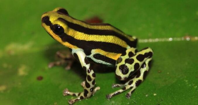 Dart Frog - There are over 170 species and 13 genera of poison dart frogs. Although collectively known as "poison dart frogs," only four species were documented as being poisonous. The bright coloration of the poison dart frog serves as a warning to potential predators that it is one of the most poisonous animals on earth. Most poison dart frogs have brightly colored skin which is used as a warning sign to predators. These frogs are very small. Adult frogs range from half an inch to just under two and a half inches in length, weighing one ounce. From tiny pores in its skin, the frog secretes a defensive toxin that makes it unpalatable to curious predators and which could easily kill if injected into a human or other animal. "Even a very small amount of the poison found on the skin of the Golden Poison Dart Frog can be fatal". Poison dart frogs live in the tropical and subtropical rainforests and wetlands of Central and South America. They are found in Costa Rica, Panama, Nicaragua, Suriname, French Guiana, Bolivia, Colombia, Ecuador, Venezuela, Brazil, Guyana, and Brazil. The frogs have been introduced into Hawaii. Fast Facts About Poison Dart Frogs
BATS True Vampire Bats only Found in Central & South America Bats - There are many bat varieties worldwide, but you find the true vampire bats only in Central and South America. They are small, agile fliers that land on their sleeping victims, mostly cows and horses at night to lick the blood after biting their victim. There are three species of vampire bats:
If there is fur on the skin, the Common Vampire Bat uses its canine and cheek teeth like a barber’s shears to clip away the hairs. The bat’s razor-sharp upper incisor teeth lack enamel, making it easier to keep them razor sharp, and are used to make a quick cut, leaving a wound approximately 5 mm deep and 5 mm in diameter without cutting arteries or veins. If you made a wound this size on your body, it would produce about one drop of blood or less than a gram. The bat then begins to use its tongue in the wound as well as its saliva. The action of the tongue keeps blood flowing, while grooves on the underside of the tongue draw blood toward the bat’s mouth. Meanwhile, the saliva has at least three active ingredients that promote bleeding. One is an anticoagulant that counters the clotting defenses. A second keeps red blood cells from sticking together and a third inhibits the constriction of veins near the wound. It may take the bat about 20 minutes to take its fill, it is then time to take off and return to its roost. Inside the bat’s stomach the lining rapidly absorbs the blood plasma. In turn, the circulatory system shunts the plasma to the kidneys. From there it passes to the bladder and out of the bat. Within two minutes of beginning to feed, a Common Vampire Bat begins to urinate. The urine is very dilute—no wonder, it is the plasma from the blood meal. The plasma is heavy but contains no nutritive value, so the bat benefits from leaving it behind. Shedding the plasma makes taking off from the ground easier. But the bat still has added almost 60% of its body weight in blood. Usually within two hours of setting out, the Common Vampire Bat returns to its roost and settles down to spend the rest of the night digesting its blood meal. Each vampire bat needs about two tablespoonful of blood every day. This represents about 60% of the bat’s body weight, or 20g of blood. It appears that vampire bats are “one stop shoppers,” feeding on one victim each night. To obtain this amount of blood each night, a vampire bat will typically prey on only larger animals. Common Vampire Bats usually roost in hollows, so they may be found in caves, hollow trees and buildings. They live together in structured societies that provide a network of social support. Colonies of Common Vampire Bats usually include one adult male with several females and their young. The bats may not all roost together at any one time, for they move between several roosts within the home range of the colony. Females that roost together often forage in the same general area. When a Common Vampire Bat returns to the roost they often meet face-to-face and groom one another. A bat that fails to feed uses this face- to-face contact to beg blood from a roost-mate. The successful bat may then regurgitate some blood to the unsuccessful one. BEES, WASPS, HORNETS Bees, Wasps, and Hornets - We are all familiar with bees, wasps, and hornets. They come in many varieties and have a wide diversity of habits and habitats. Avoidance is the best tactic for self-protection. Watch out for flowers or fruit where bees may be feeding. Nearly all honeybees in Belize are now Africanized, except the native sting-less bee. CENTIPEDES & MILLIPEDES Centipedes and Millipedes - Centipedes and millipedes are mostly small and harmless. A few varieties of centipedes have a poisonous bite, but infection is the greatest danger, as their sharp claws dig in and puncture the skin. To prevent skin punctures, brush them off in the direction they are traveling, if you find them crawling on your skin SCORPIONS, TARANTULAS Scorpions - You can find scorpions on the Cayes and in on the Mainland. They are mostly nocturnal in habit. Fatalities from scorpion stings are rare, but they can occur in children, the elderly, and ill persons. In environments known to have spiders and scorpions, check your foot gear and clothing every morning. Also check your bedding and shelter for them. Use care when turning over rocks and logs. Tarantulas - Tarantulas are large, hairy spiders, best known because they are often sold in pet stores. The bite of a tarantula is said to be painful but not dangerous unless you are allergic to the venom. If you are bitten by a tarantula and begin to experience tightness in the chest and shortness of breath, going to a hospital emergency room would be a good idea. SNAKES IN BELIZE Among the 56+ species of snakes found in Belize, we could only find 8 that were considered dangerous to humans. 8 Venomous Snakes in Belize
IF BITE BY A SNAKE - "DO NOT"
CENTRAL AMERICAN - CORAL SNAKE Central American Coral Snake - The two species of coral snakes found in Belize have brightly colored bands of red, yellow and black. These bands are in sequence of yellow, red, yellow, black, yellow, red, yellow. Maximum length of these snakes rarely exceeds three feet. They have short, fixed front fangs. Coral snakes are usually found seeking refuge under rotten logs, thick leaf litter, decomposing vegetation, and rocks. This species of coral snake is found countrywide, in both northern and southern hardwood forests, including the Mountain Pine Ridge. Although coral snakes feed primarily on other snakes, lizards and frogs are also included in their diet. Coral snakes are considered to be mild-tempered, however, extreme caution should be shown around coral snakes, as their bite can be fatal. They have very strong neurotoxic venom. When threatened, coral snakes immediately burrow into nearby vegetation to escape, but are sometimes noted to flatten their body to appear larger (defensive posture). They are primarily nocturnal, but are often sighted at dusk and dawn. Coral snakes are preyed upon by birds of prey and other snakes (kingsnake, mussarana). EYELASH PALM PITVIPER Eyelash Palm Pitviper - The eyelash viper is a beautiful pit-viper which is uniquely camouflaged. Eyelash vipers blend in the moss often found on trees in a humid forest. Their overall body color is green, with irregular blotches of brown, yellow, and white. They have a pair of large, rotatable fangs situated at the front of the maxillary bone. Eyelash vipers have a typical viper-shaped head, and a pair of facial pits or heat-sensing organs. They have two pronounced tubercles over the yes, which gives an "eyelash" appearance. Their tail is prehensile. The eyelash viper has been recorded in Orange Walk and Cayo districts (northern hardwood forests), but is seldom seen, most likely due to its arboreal habits. Eyelash vipers feed largely on birds and rodents, but have been known to include bats in their diet. They have strong hemotoxic venom. Not an aggressive snake, but it will not hesitate to bite if threatened. Eyelash vipers spend most of their time in trees, rarely coming to the ground. FER-DE-LANCE
JUMPING PITVIPER Jumping Pitviper - Color variation in jumping vipers is not uncommon, however, the pattern of adjoining saddles down entire dorsal surface of the body is consistent. Maximum length rarely exceeds four feet. Jumping vipers have a pair of large, rotatable fangs situated at the front of the mouth on the maxillary bone. Other distinguishing characteristics include vertically elliptical pupils and a pair of heat-sensing organs. Found primarily in the high elevations of Belize's southern hardwood forests. Sometimes found at the mouth of caves, where they may seek refuge. Jumping vipers prey on rodents, birds, frogs and lizards. They have a strong, meotoxic venom. This species is a mild-tempered snake, compared to some of the other pit vipers. A bite, however, may result in extreme pain and severe haemorrhagng, causing death. Jumping vipers are primarily nocturnal, although they are sometimes seen in the early mornings, basking in the sun. Females are ovoviviparous. Although called Jumping Viper or Jumping Tommygoff, these snakes don't actually jump but will strike throwing themselves backwards to appearing leap from the ground. Most snakes are only capable of striking a third of their body length. MAYAN CORAL SNAKE Mayan Coral Snake - This coral snake has large red bands with small yellow bands and small black bands. Its colors are brilliant, with a sequence of red, yellow and black; the red bands always in contact with the yellow bands. Its head is yellow and black. The maximum length odes not exceed three feet. The fangs of this snake are short and permanently fixed at the front of the maxillary bone. Known only to be found in the southern hardwood forests of the country, in areas of thick leaf litter. It prefers humid forests. Micrurus hippocrepis, like most coral snakes, feeds primarily on other snakes, but will include lizards in its diet. They have strong neurotoxic venom that is dangerous to humans. This snake is terrestrial and sub-terrestrial. It is primarily nocturnal, but is often active at dusk and dawn. Females are oviparous. MEXICAN CANTIL MOCCASIN SNAKE Mexican Cantil Moccasin - The Mexican Moccasin is brown in color, with irregular blotches of white down the entire dorsal surface of the body. Tail varies in color, from a pale white to yellow. Maximum length does not exceed three feet. Cantils have a pair of large, rotatable fangs, located at the front of the mouth on the maxillary bone. The tongue is reddish in color. They have a typical viper-shaped head, with vertically elliptical pupils, and a pair of heat-sensing organs, or facial pits. The Mexican Moccasin has been recorded only from the Corozal and Orange Walk districts, in the northern hardwood forests of Belize. The Mexican Moccasin juvenile uses its sem-prehensile tail to mimic a worm, in order to lure in frogs or lizards. Their diet includes frogs, lizards, rodents and birds. Cantils have a strong, fast-acting hemotoxic venom. Like all members of the genus, female Mexican Moccasins are ovoviviparous. NEOTROPICAL RATTLESNAKE Central American Rattlesnake - The Central American rattlesnake is distinguished by a black diamond down the dorsal body surface, fading towards the tail. The overall body color is brown to gray. Maximum length does not exceed six feet. Rattlesnakes have a pair of rotatable fangs that are situated at the front, on the maxillary bone. Other distinguishing characteristics include vertically elliptical pupils, a pair of heat-sensing organs, and a rattle at the end of the tail. Found countrywide in both northern and southern hardwood forests, including the Mountain Pine Ridge. Tropical rattlesnakes are particularly abundant in the pine savannas and grasslands of Belize. Central American rattlesnakes are primarily nocturnal predators, feeding largely on rodents and birds. The venom of this rattlesnake has high concentrations of hemotoxins and nurotoxins. Tropical rattlesnakes are not particularly aggressive but will rattle and coil to strike if threatened. Femals are ovoviviparous. HOGNOSED PITVIPER Hognosed Pitviper - The hognose viper is dark to reddish-brown in color, and pattrened with a narrow cream mid-dorsal stripe, flanked on either side by small, square brown or black markings. It is also recognized by a conspicuous upturned snout. Pupils are vertically elliptical, and the presence of a pair of large rotatable front fangs, as well as a pair of heat-sensing organs, characterizes this unique pit-viper. Maximum length rarely exceeds two feet. Found in the humid hardwood forests of southern Belize. It prefers areas of open forests with fallen logs and leaf litter. It is also seen around temple ruins. Hognose vipers prey on small rodents, lizards and frogs that are quickly subdued by their strong meotoxic venom. Although primarily nocturnal, these snakes can also be active during the day, depending on climatic conditions. Females of this species are ovoviviparous. IN THE WATER BULL SHARKS There are more than 360 species of sharks in the world's oceans and Belize is home to a few of these. Among the sharks seen diving are: black tip shark, bull shark, lemon shark, nurse shark, reef shark, and occasionally a hammerhead shark. The whale shark is migratory and usually only see in the Spring of each year in and around the waters off of Placencia. If you see a shark in the water, chances are it's a bull shark. Bull sharks are so named because of their thick, stout body and short, blunt snout which gives them an appearance of a bull. Bull sharks are medium-sized sharks that can grow up to 11 feet long and weigh about 700 pounds, although females generally top out at 5 feet and males usually at 7 feet. They are gray on top and white on bottom, so they camouflage against the dark depths when prey is above them, and they blend in to the lighter surface when prey is below them. The first dorsal fin is larger than the second one and is angled rearward. The caudal fin is lower and longer than that of other sharks. There has not been any shark attacks off Ambergris Caye for a good long while now. Interesting Facts About Bull Sharks:
TIGER SHARKS The Tiger Shark is one of the shark species which can be aggressive, and is considered dangerous for that reason. Tiger Shark are known by locals as "Sea Tigers". Tiger sharks are among the largest species of sharks, both in length and weight. Females are larger than males at maturity. Tiger sharks average 10 to 14 feet in length, but the largest individuals may be as long as 18 feet and weigh over 1,400 pounds. The tiger shark is mostly a nocturnal hunter. Its diet includes a good kind of prey, starting from crustaceans, fish, seals, birds, squid, turtles, and ocean snakes; to dolphins and even different smaller sharks. What Do Tiger Sharks Look Like? - The tiger shark is named for the dark, vertical stripes on either side of its body, which are reminiscent of a tiger's markings. These stripes actually fade as the tiger shark ages, so they can't be used as an identifying feature of every individual. Young tiger sharks have dark blotches or spots, which eventually merge into stripes. For this reason, the species is sometimes known as the leopard shark or the spotted shark. The tiger shark has a stout head and body, although narrower at the tail end. The snout is blunt and somewhat rounded. AMERICAN CROCODILE Crocodiles are clearly ferocious hunters, but they are opportunistic predators. Any animal that moves is fair game, and can be considered as prey. Most of the larger crocodiles on the island have been relocated to habitats which do not interact with humans. Occasionally these crocodiles can creep down into shorelines inhabited by humans. Crocodiles prefer murky water with mangroves (as their habitat of choice), primarily so they can remain unseen. Crocodiles are ambush predators, which mean they wait for prey to get close enough to them, before they attack. The average lifespan of a crocodile is 70 years in the wild and can be found on land and in water. HOW TO AVOID A CROCODILE ATTACK - 10 Things You Need to Know 1. Stay away from water with crocodiles or alligators in - Ask local residents about where crocodiles or alligators live in lakes and rivers, and don't go swimming outside of designated areas. Do not go in murky water, or swim at dusk or at night, when the animals hunt and are harder to see. 2. Be aware of your surroundings -If you're going to be in or around water where they live, you must remain on your guard. Alligators and crocodiles can hide themselves very well in water, often keeping only their eyes and nostrils above water or submerging entirely. Do not dangle arms or legs off a boat into the water, don't walk too close to rivers or lakes, and avoid thick vegetation that provides these animals with good cover. 3. Stay at least fifteen feet away from alligators or crocodiles - Once you've spotted them, give crocodilians a wide berth. Fifteen feet is usually ample on land, but during mating season, or when near babies, it's a good idea to stay even farther away. Crocodilians are surprisingly fast - especially in water - so stay as far away as possible. 4. Don't get too comfortable in your camp - Crocs and alligators can memorise people's habits and campsite layouts - so be very wary when you're camping near water. Set up camp well away from the water's edge, and do not litter the area with food scraps. If you have to use the water for washing, try not to use the same path every time. 5. Avoid surprising the animals - If you see you're going to come anywhere close to a crocodilian, make noise by slapping the water with your oars or whistling. Stay away from riverbanks when coming around bends in a river, and make your presence known. Crocodiles or alligators basking on the shore may attack in self-defense if you surprise them. 6. Let it know you're watching it - If there's a croc or alligator on land, let it know that you're watching it. From a safe distance, stare at it and never take your eyes off of it - it may be intimidated and not come any closer. 7. Run - Crocodilians rely on the element of surprise to capture prey, so it's extremely unusual for one to pursue a person on land. The land speed record for a crocodilian is about 10 miles per hour, and they quickly grow tired - so a fit person should be able to outrun it without too much difficulty. Run away from the water, as they will be trying to get back to where they feel safest. 8. If attacked, get away - Sometimes, the animal will deliver a single, quick defensive bite and then immediately let go. If this occurs, just try to get away from the animal as quickly as possible. However, sometimes the animal doesn't let go and will often try to drag a person into the water or underwater. Crocodilians can stay underwater for much longer than humans can, so the only hope of survival if you're attacked in this manner is to fight back and get away. 9. Go for the eyes, nostrils, or throat - The most vulnerable part of a crocodile's or alligator's body is its eyes. Try to hit or poke the eyes with whatever you have handy: an oar, a stick, or a knife - even your hands. While not as sensitive as the eyes, the nostrils and ears can also be effectively attacked. A hard blow or a cut to either of these areas may cause the animal to release you. Crocodilians have a flap of tissue behind the tongue that covers their throats when they submerge in water. This flap prevents water from flowing into their throats and stops the crocodile from drowning when its mouth is open. If your arm or leg is stuck in a crocodile's mouth, you may be able to pry this valve down. Water will then flow into the crocodile's throat, and animal will most likely let you go. 10. Get medical attention promptly - A crocodilian's mouth is home to millions of bacteria, and infection is almost guaranteed if a bite is not treated promptly. CONE SHELLS Cone shell snail venoms contain many different toxins that vary in their effects; some are extremely toxic. The sting of small cones is no worse than a bee sting, but the sting of a few of the larger species of tropical cone snails can be serious, occasionally even fatal to humans. Symptoms can begin within minutes or take days to appear. Severe cases of cone shell snail stings involve muscle paralysis, blurred/double vision, and respiratory paralysis, leading to death. Do not eat these snails, as their flesh is poisonous. Cone Shell Snails These cone-shaped shells have smooth, colorful mottling and long, narrow openings in the base of the shell. They live under rocks, in crevices and coral reefs, and along rocky shores and protected bays in tropical areas. All have tiny teeth that are similar to hypodermic needles. Avoid any shell shaped like an ice cream cone. They can inject an extremely poisonous venom that acts very swiftly, causing acute pain, swelling, paralysis, blindness, and possible death within hours. Avoid handling all cone shells. Three species that are known killers are the Geographic Cone (Conus geo- graphus) the Textile Cone (Conus textile), and the Tulip Cone (Conus tulipus) though around twenty cones are known to be dangerous to humans. Cone shell snail stings: Symptoms include intense pain, numbness, and tingling. Symptoms can begin within minutes or take days to appear. Severe cases of cone shell snail stings involve muscle paralysis, blurred/double vision, and respiratory paralysis, leading to death. Do not eat these snails, as their flesh is poisonous. Auger Cone Shells The Auger Shells or Terebra, are similar to cone shells but much thinner and longer. They are poisonous in the same way as cone shells, but their venom is not as poisonouss as some cones. The venom is powerful enough to be lethal to collectors who are not careful in handling the mollusc. World-wide, there are about 300 species of auger shells. The species most dangerous to humans are the larger cones, which prey on small bottom-dwelling fish. Cone snails use a hyperdermic needle-like modified radula tooth and a venom gland to attack and paralyze their prey before engulfing it. The tooth, which is sometimes likened to a dart or a harpoon, is barbed and can be extended some distance out from the head of the snail. Cone shell snail venoms contain many different toxins that vary in their effects; some are extremely toxic. The sting of small cones is no worse than a bee sting, but the sting of a few of the larger species of tropical cone snails can be serious, occasionally even fatal to humans. Symptoms can begin within minutes or take days to appear. Severe cases of cone shell snail stings involve muscle paralysis, blurred/double vision, and respiratory paralysis, leading to death. Do not eat these snails, as their flesh is poisonous. FIRE CORAL Fire Coral Fire corals have a bright yellow-green and brown skeletal covering and are widely distributed in tropical and subtropical waters in Belize. They appear in small brush-like growths on rocks and coral. Divers often mistake fire coral for seaweed, and accidental contact is common. Fire coral is actually a marine colony of organisms, that look like real coral. However they are technically not corals; they are actually more closely related to jellyfish and other stinging anemones. The very small nematocysts on fire corals contain tentacles that protrude from numerous surface pores (similar to Jelly Fish stings). Fire corals have a sharp, calcified external skeleton that can scrape the skin. INTERESTING FIRE CORAL FACTS
The following guidelines are suggested to treat fire coral cuts:
When Should I Call the Doctor About Fire Coral Cuts and Stings?
PORTUGUESE MAN-OF-WAR Portuguese man on war Although it resembles a jellyfish, the Portuguese man-of-war is actually a colony of sea animals. Mainly found in tropical regions, such as Belize. The Portuguese man-of-war resembles a large pink or purple balloon floating on the sea. The floating portion of the man-of-war may be as small as 15 centimeters, but the tentacles can reach nearly 165 feet in length. The huge tentacles are actually colonies of stinging cells. These tentacles inflict a painful and incapacitating sting, but the sting is rarely fatal. How to Avoid Being Stung by a Portuguese Man-of-War Portuguese Man-of-War creatures regularly make appearances on Spanish beaches. The man o'war (is not a jellyfish), but a floating colony of microscopic hydrozoans - has tentacles that can reach 30 yards long and are barbed with a sting that typically cause painful welts lasting up to three days. In some cases the sting can cause an allergic reaction and in rare cases, heart failure. Even when washed up on the sand the stings still contain venom. Rule No. 1: Don't touch it Man-of-war fish have stinging cells that are still active and capable of stinging even after the creature is dead and washed up on shore. So don't touch it. Rule No 2: Listen to lifeguards If the red flag is raised then don't go into the water. If you break that rule you may face a fine or even be stung by one of the creatures lifeguards are trying to protect you from. If you are in the water then you may be stung without even seeing the culprit. The Man-of-war looks like a floating blue plastic bag but they have practically invisible tentacles that typically extend over 2.4 meters (8ft) under the surface of the water and sometimes stretch to 10 meters. Rule No. 3: Get help if you are stungIf you are stung then leave the water immediately and look for a lifeguard. If there are no lifeguards on the beach, wash the wound with salt water and remove any tentacles stuck to the skin by dousing the site with sea water. Never use fresh water as that can actually cause the stinging cells, or cnidae, left on your skin to discharge, which could make the sting worse. Don't touch the tentacles with your bare hands, and don't scrape them off your skin with objects like a credit card or razor, because that could increase pressure around the sting and make it worse. Some experts suggest cooling the area down by applying ice for around five to ten minutes. You can also try wetting the wound with vinegar or baking soda dissolved in water. Protect the area by using an antiseptic to avoid infections. If the pain continues, make sure you consult a doctor. Rule No. 4: Don't pee on it Professor Josep Maria Gili from Barcelona's Institute of Marine Sciences warns against the common myth that urinating on a jellyfish sting can help ease the pain. "That is absolutely false," he told The Local. "It could be effective for some fish bites but never for jellyfish." In fact, it might actually make the stings worse. Rule No. 5: Seek medical attention If you get stung by a man-of-war and you have trouble breathing, this could be a result of severe envenomation, and you'll need to see a medical professional immediately. Extremely painful stings also require medical attention, as do stings that make you feel dizzy or disoriented. SCORPION & LION FISH Scorpion & Lion Fish Scorpion fish live mainly in the reefs. They vary from 30 to 90 centimeters long, are usually reddish in coloration, and have long wavy fins and spines. They inflict an intensely painful sting. Scorpion (or Lionfish) are also equipped with spines containing dangerous venom. When the spines pierce a predator, the venom is injected immediately at the point of contact. A sting from one of these spines can be potentially fatal to other animals and extremely painful to humans. Scorpionfish, lionfish, and stonefish are all poisonous fish that live in tropical and temperate oceans, the Pacific Ocean. They have erectile spines on their dorsal, anal, and pelvic fins. Because these fish are not aggressive, contact with them and the poisonings that result are usually accidental. Contact with ornate Scorpion or Lionfish causes mild-to-moderate poisoning. Contact with a motionless stonefish, causes severe-to -life-threatening poisoning. Fun Facts About Scorpionfish
Lionfish Eat Coral - Therefore They Destroy Reefs!!! Yes, Lionfish pose a big threat to the Belize Barrier Reef. They can drastically reduce other small prey fish populations by as much as 80% and one female can release up to 30,000 eggs every four days! They eat as many as 70 different species and just one can consume 20 fish in half an hour. That is one hungry fish!!! This is why Belize periodically has a Lionfish hunt (to reduce the population of the Lionfish), in an attempt to save our reef.
STONE FISH Stone Fish Stonefish are found in the tropical waters of the Pacific and Indian oceans. Averaging about 30 centimeters in length, their subdued colors and lumpy shape provide them with exceptional camoflauge. When stepped on, the fins in the dorsal spine inflict an extremely painful and sometimes fatal wound. The Stonefish is the most venomous fish in the world. This strange looking fish, despite it’s somewhat tiny size (up to twelve inches) is considered the most venomous fish existing. It’s camouflaged body will keep it absolutely hidden between rocks underwater, adding to its danger. It’s the dorsal fins you've got to be worry of, that are sharp enough to pierce through a shoe therefore watch your step. Stonefish have also been called rockfish because of their tendency to live among rocks near the seafloor. There are more than 200 known species of stonefish in the oceans. Members of this fish family are commonly found in Pacific Oceans where water temperatures are temperate and coral reefs are plentiful. Coral reefs provide the perfect space for a stonefish to hide and hunt for prey and also avoid any potential predators brave enough to take a bite. The body of a Stonefish is just as important as its habitat when it comes to remaining unseen. Stonefish are covered in feathery fins or skin flaps that help with camouflage against surrounding coral. Some stonefish are dull in color–mottled brown or yellow, while other species are bright red or orange, making them virtually invisible when hidden among either rocks or reefs. Stonefish are exceptional sit-and-wait predators. Stonefish only hunt at night and spend daylight hours resting in crevices. They will remain in the shadows of rocks or reefs before pouncing on unsuspecting prey swimming by. Their diet consists of small fish, crustaceans and snails that also live in coral reefs. A stonefish's mouth is wide in size, which allows the fish to quickly suck and swallow prey whole in one bite. Stonefish can also use their venom to stun prey before eating them. Predators of Stonefish remain few, but sharks, rays and large snappers have been known to hunt the fish. Most Stonefish species are less than two feet in size and have a lifespan of 15 years. A female Stonefish may release upwards of 15,000 eggs into the water for fertilization by the males. Fertilized eggs float to the surface where egg-eating predators are less likely to get to them. After just two days the eggs will hatch and baby Stonefish will remain near the surface until they are big enough to swim down to the reefs where the adults swim. Stonefish face few threats in our ocean—they are not commercially fished because of their venom, but some species may be caught as incidental by catch when lines and hooks are set near reefs. Their coral reef habitat may also be in jeopardy due to warming oceans and global warming. SURGEON FISH Stripped Surgeonfish The Surgeonfish or Tang is average 20 to 25 centimeters in length, with a deep body, small mouth, and bright coloration. Named for extremely sharp and movable spines located on each side of their tail that are thought to resemble a surgeonâs scalpel, that cause extremely painful wounds. tay away from this dangerous fish, as the caudal spine of a striped surgeonfish is venomous. They tend to live in marine waters and are associated with reefs. However, scientists have used its venom for the development of new drugs. Facts on Surgeonfish Cuts
The laceration from a surgeonfish is immediately painful and usually deep. It will actively bleed. It is rare to have symptoms beyond the laceration but when it does happen there can be nausea, muscle aches, and anxiety. Surgeonfish Cuts Treatment
TOADFISH Toadfish There are about 80 species of bottom-living Toadfishes. They are found chiefly in warmer oceans, occasionally in freshwater. Toadfishes are heavy-bodied fishes with broad, flattened heads and large mouths equipped with strong teeth. They grow to a maximum of about 40 cm (16 inches) and either are scaleless or have small scales. Most can produce audible grunting or croaking sounds. Toadfishes are carnivorous and sometimes bite when touched. Toadfish are divided into three (3) groups:
The male attracts the female by "singing", that is by releasing air by contracting muscles on their swim bladder. The sound has been called a 'hum' or 'whistle'. They often hide in rock crevices, among the bottom vegetation, or even bury themselves in the sand and may be easily stepped on. They have very sharp, extremely poisonous spines on the dorsal fin (back). JELLY FISH Jellyfish Jellyfish-related deaths are rare, but the sting they inflict is extremely painful. As the temperature gets warmer, jellyfish are found closer to the shore. Therefore, the warmer the ocean, the higher the possibility of encountering a jellyfish. A jellyfish sting can cause headaches, vomiting, muscle spasms, an allergic reaction, chills, fever and difficulty breathing. Box Jellyfish are among the most dangerous because they have extremely powerful venom. Stings from them have caused death amongst humans. Jellyfish stings are relatively common problems for people swimming, wading or diving in seawaters. The long tentacles trailing from the jellyfish body can inject you with venom from thousands of microscopic barbed stingers. Jellyfish stings vary greatly in severity. Most often they result in immediate pain and red, irritated marks on the skin. Some jellyfish stings may cause more whole-body (systemic) illness. And in rare cases jellyfish stings are life-threatening. Most jellyfish stings get better with home treatment. Severe reactions require emergency medical care. Signs and symptoms of severe jellyfish stings include:
Fast facts on jellyfish sting treatment:
STINGRAYS Stingrays As they gently glide a few inches above the sand, stingrays appear elegant, peaceful and calm—and they are, the vast majority of the time. The only time divers need to worry is when stingrays feel threatened. A frightened stingray can plunge its sharp, venomous stinger straight through a wetsuit and deep into a diver's flesh. Diving with Stingrays is Generally Safe While diving, stingrays may be approached with little risk. On the rare occasion that a stingray strikes a diver underwater, the diver has most likely inadvertently threatened or cornered the animal. Perhaps the diver hovered directly over the ray or floated in front of it, making the stingray feel trapped against a reef without an escape route. The Stingray Danger Zone Because a stingray sees and swims forward easily, leave it a forward escape route. Most important, stay out a stingray's striking zone, the area directly above the ray. The ray can easily strike in the area at the top of its back by arching its tail forward. By contrast, the area behind the ray's back and the space to its sides are difficult for the ray to reach without turning its body or making swimming adjustments. Divers who are alert and aware of the stingray's attack zone should be relatively safe. How to Avoid Attacks Stingray attacks are more likely to happen to divers who are entering or exiting the ocean through shallow water and accidentally step on a stingray. Naturally, the stingray will react. When a stingray is stepped on, it quickly whips its long tail forward and down, which jabs the stinger at the base of the tail into the offender. This is a defensive maneuver designed to remove the diver's foot from the stingray's body, and it works. To avoid stepping on top of a stingray, divers can shuffle their feet when entering and exiting the water and throw rocks and shells in front of them as a warning. If a stingray is camouflaged in the sand hiding out, waiting for fish or crustaceans to eat, it might not be visible until it's too late. In addition, people should be aware of stingray habitats such as long, sandy shores. Because neither dive booties nor fins protect anyone from a stingray's hard, razor-sharp stinger, people should be vigilant if they suspect they might be in a stingray habitat. What Happens in a Stingray Sting As the stinger enters the diver's body, a thin sheath containing the venom breaks, allowing the poison to flow into the surrounding flesh. The venom contains enzymes and neurotoxins that cause cell death (and pain), and serotonin, which prevents smooth-muscle contraction. The area will also swell. How to Treat an Injury In the unlikely event that a stingray injury occurs, there are two considerations in treating the wounded area: the stinger and the venom it contains. A stingray's stinger is covered with sharp, hooked barbs that are angled to enter a victim smoothly but hook into the flesh if pulled out. Although a diver's immediate reaction might be to pull out the stinger, it may be better to allow a medical professional to remove it, in order to avoid exacerbating the injury. It is important to neutralize the venom as quickly as possible. Immersing the area in hot water for 30–90 minutes and applying antibiotic ointment can help prevent complications, but it is still advisable to also see a medical professional. Pieces of the stingray barb can remain deep in the wound and cause a delay in healing and secondary bacterial infection. Foreign matter and infectious bacteria from the water can also be an issue complicating wound healing. Because of these issues, a medical professional may require an X-ray or ultrasound and prescribe antibiotics. Dead tissue may have to be surgically removed. Because the venom causes cell death, stings near vital organs in the chest and abdomen can be fatal, and these injuries should be taken seriously. Life-threatening allergic reactions to the venom, shock, and seizures can also occur. Red-eyed tree frogs, despite their conspicuous coloration, are not venomous. They are found in tropical lowlands from southern Mexico, throughout Central America, and in northern South America. Nocturnal carnivores, they hide in the rain forest canopy and ambush crickets, flies, and moths with their long, sticky tongues. Red-eyed tree frogs are not endangered. But their habitat is shrinking at an alarming rate, and their highly recognizable image is often used to promote the cause of saving the world's rain forests. The Red-eyed tree frog is a slender, delicate frog with webbed hands and feet and is one of the most common tree frogs kept in captivity as pets, perhaps because of their vivid colors and overall beauty. They are medium sized frogs, with females reaching around 3.5 inches in length, and males around 3 inches. They begin their lives under water and later spend their adult life on land. They inhabit low and tropical forests in Veracruz and Oaxaca, Mexico, into Central America, Panama and Costa Rica, and farther south into Columbia, South America. Their environment is rather warm year-round with high levels of humidity. Like most amphibians, they are dependent on water for most of their life. In the forests of Belize, the Red-eyed tree frog minimizes water loss by resting underneath leaves and tucking its limbs up close to its body. They are quite a common site for locals and tourists in some regions and often invade public areas close to the forests. Red Eyed Tree Frogs “Poster Child” for Rainforest Conservation Pictures of the Red-eyed tree frog are seen all over the world and they have become a “poster child” for the Save the Rainforest campaign. Their bright coloration and their status as an indicator species makes them the perfect candidate to bring attention to this important cause. THEY SLEEP BY DAY - ON THE UNDERSIDE OF GREEN LEAVES During the day light hours, these frogs spend their time sleeping on the undersides of green leaves, for which they blend into nicely. While resting, the brightly colored sides are covered by the rear limbs, and the eyes are covered with a mesh-like membrane, so that the frogs are almost entirely camouflaged green. When disturbed, they flash their bulging red eyes and reveal their huge, webbed orange feet and bright blue-and-yellow flanks. This technique is called startle coloration, ad may give a bird or a snake pause, offering a precious instant for the frog to spring to safety. This may work well in most cases, however, predators are not always fooled. While awake they are at higher risk of predication than when sleeping camouflaged against green leaves. Their neon-green bodies may play a similar role in thwarting predators. Many of the animals that eat red-eyed tree frogs are nocturnal hunters that use keen eyesight to find prey. THEIR MOST NOTABLE FEATURE - IS THEIR RED BULGING EYES Juvenile morphs are brownish green, and change to bright green as they mature. In the wild, and in captivity, these nocturnal frogs typically spend their days attached to green leaves, sometimes in small groups. They position themselves in such a way so as to disguise every colorful part of their body in an attempt to blend into the leaves. They do this so well that they are often difficult to find. Their habitat is crawling with potential predators, including bats, snakes, birds, small mammals, insects and lizards. This frog is not toxic, and so they rely heavily on camouflage and discretion to avoid predication. THEIR BRIGHT COLORS ARE A NATURAL DEFENSE AGAINST PREDATORS The bright colors found on the sides of these frogs are often referred to as “flash colors,” as they are flashed to potential predators. The shocking colors of this frog may over-stimulate a predator's eyes, creating a confusing ghost image that remains behind as the frog jumps away. This may throw off those predators that rely mainly on visual prey detection, such as snakes, and birds. This is similar to the effects of gazing at a bright light or object for a period of time, resulting in the image being “burned” into the eyes when you look away. Still, despite their unique defense methods, they are preyed upon regularly. RED EYED TREE FROGS LIVE IN THE BELIZEAN RAINFORESTS Habitat - Although these beautiful creatures are not considered threatened, the condition of their habitat is of great concern. Problems such as global warming, wetland drainage, atmospheric and climatic changes, pollution and deforestation have all taken a severe toll on the rainforest. With less rainforest comes fewer tree frogs. Amphibian populations are known to suffer environmental effects sooner than other populations. Red-eyed tree frogs inhabit areas near rivers and ponds in rainforests and humid lowlands on the Atlantic slopes from southern Veracruz and northern Oaxaca in Mexico, to central Panama and northern Colombia. They also live on the Pacific slope in southwestern Nicaragua and southwestern Costa Rica to eastern Panama. The optimum temperature for red-eyed tree frogs is 75–85 °F (24–29 °C) in the daytime, and 66–77 °F (19–25 °C) at night. Behavior - Red Eyed Tree Frogs spend a majority of their lives in trees, and are excellent jumpers. Red-eyed tree frogs are not poisonous and rely on camouflage to protect themselves. During the day, they remain motionless, cover their blue sides with their back legs, tuck their bright feet under their bellies, and shut their red eyes. Thus, they appear almost completely green, and well hidden among the foliage. The large red eyes serve as a defensive adaptation through deimatic behavior. When a red-eyed tree frog detects an approaching predator, it abruptly opens its eyes and stares at the predator. The sudden appearance of the red eyes may startle the predator, giving the frog a chance to flee. Diet - The Red-eyed tree frog, a strict carnivore, is also an avid and skilled hunter. It eats mostly insects, crickets, moths, grasshoppers, flies and beetles, catching them with its long, sticky tongue. It also eats other small invertebrates and sometimes will even other eat small frogs. Most individuals are strictly nocturnal, and will only feed at night. Did You Know?
THE BREEDING SEASON IS BETWEEN OCTOBER & MARCH EACH YEAR Mating Red-eyed tree frogs spend their lives near water because they must return to the water to lay their eggs. Like many tropical frogs, red-eyed tree frogs enter breeding mode during the rainy season. At this time, the males will croak incessantly to attract females, and will wrestle other males in the near vicinity. In addition to croaking, males are known to “quiver” during the breeding season. This occurs at the peak of a croak, while facing another male. During this staring contest, any sign of movement from one frog prompts a wrestling match between the males. During the mating season, the male frogs shake the branches where they are sitting to improve their chances of finding a mate by keeping rivals at bay. This is the first evidence that tree-dwelling vertebrates use vibration to communicate.When rainfall is at its highest, a male red-eyed treefrog calls "chack" to get the attention of the female. Reproduction Breeding occurs from October to March, usually near ponds of water. While locked in an embrace, the male fertilizes 30 to 50 pale eggs as the female lays them on a leave over standing water. In five days the eggs hatch into tiny brown tadpoles and they wiggle their way down the leaf to the water below. The tadpoles breathe with gills and swim with a tail. It takes the tadpoles 75 to 80 days to metamorphose into a frog. As they mature, they lose their tail, they develop lungs (for breathing air), and they become brightly colored. The adult frog will spend most of the rest of its life in the forest canopy, often hidden among bromeliads. The female will carry the male on her back for several hours during the mating process. The female chooses a leaf above a pond or large puddle on which to lay her clutch of roughly 40 eggs. She will produce a sticky jelly to glue the eggs together; this protects the eggs from splitting and dehydration. The eggs develop into tadpoles, which hatch after six to seven days and fall into the water below. Red-eyed treefrog eggs hatch early when a change in the environment signals a danger to their survival. Dragonflies, fish, and water beetles prey on the tadpoles. The tadpoles remain in the water from three weeks to several months, until they metamorphose into frogs. The time of metamorphosis depends on duration of larval stage, which varies depending on environment. After metamorphosis, the color of tadpoles' torsos changes from brown to green, and their eyes, which are initially yellow, turn into deep red without much side patterning. These changes mark maturity. Young frogs that survive the first few weeks after metamorphosis move into the undergrowth and security of plants near their natal pools, often into the hollows of tubular plants such as bromeliads. Young frogs prey on very small flies and other insects during the first months of their lives. The young mature after two years and begin mating at the age of three to four years. These treefrogs are known to live up to five years, depending on the health and conditions of their habitat. 11 Amazing Facts About Red Eyed Tree Frogs Agalychnis callidryas, better known as the red-eyed tree frog, is one charming amphibian. With bright red eyes, colorful sides, and an extremely expressive face, it’s hard not to be captivated by this wonderful frog. 1. Red Eyed Tree Frogs have been around for thousands of years. Frogs, in general, are a pretty old bunch. Fossils show that frogs have been around for thousands of years. 2. Red Eyed Tree Frogs are masters of disguise. These amphibians are arboreal, meaning they spend a lot of time hiding in the trees. The frogs live in tropical lowlands in Central America and northern South America, and though one might think that its bright red eyes and blue and yellow markings would put the amphibian in danger, the crafty frog actually uses its flashy colors to its advantage. When seated on a leaf, the red-eyed tree frog tucks its legs in close to its body and closes its eyes to hide—but when they sense a predator, they open their eyes and jump away, exposing a whole slew of dazzling colors. Some scientists believe that this sudden burst of color can startle animals and throw them off guard, but a more popular theory is that it helps the animal get back into hiding. 3. Red Eye Tree Frogs can best be seen at night. During the day, the red-eyed tree frog hides its colors and sleeps stuck under leaves, where it blends into the foliage perfectly—sometimes, the frog will even have tiny yellow spots that resemble leaf blemishes. At night, when they're less at risk of becoming a meal, the frogs are much more active; they spend the time hunting for insects. 4. Red Eyed Tree Frogs are not venemous. Tree frogs rely more heavily on their camouflage for protection, but they do have some toxins in their skin. These toxins are not dangerous, but they do leave a bad taste in a predators’ mouth. 5. Red Eyed Tree Frogs use their eyes to swallow food. If you've ever seen a frog eat something, you might have noticed they close their eyes. Like most frogs, red-eyed tree frogs use their eyes to help swallow. Their tiny teeth hold the insect in place, and they retract their eyes into their body to push the meal down their throats. While they can swallow without the extra push from the eyes, it helps expedite the process so they can get moving. 6. Male Red Eyed Tree Frogs use vibrations to ward off competition. When marking territory, males will shake their perch violently. The vibrations tell other males that the area has already been reserved. Scientists used a miniature seismograph to verify that the shaking branches were due to the frogs’ movements and not the wind. The vibrations travel about 1.5 meters, giving the male frogs a good amount of personal space. 7. Red Eyed Tree Frogs mating season is from October to March. Mating season generally lasts from fall to early spring. Males climb down from their trees and gather around bodies of water; once each finds the perfect location, he'll start calling, at which point the females will descend from the trees and respond to the calls. 8. Male Red Eye Tree Frogs attach themselves to the back of a female. Once the female has selected her mate (it’s unclear what the deciding factors are, but it’s likely a mixture of size and call), the pair will go into amplexis: the female will carry the male around on her back for the course of the egg laying process. After the male hops on, the female draws in water that she uses to lay her gel-like eggs. After she lays her eggs on the bottom of a leaf, the male fertilizes them externally. 9. Red Eyed Tree Frog tadpoles can hatch early. Red-eyed tree frog eggs are laid under leaves that loom over water, so that when the eggs hatch, the tadpoles can fall directly in. These frogs-to-be generally hatch about a week after being laid, but they can emerge sooner, after just four or five days, if their survival depends on it. Because some species of snakes and wasps like to dine on the jelly-like eggs, the tadpoles are equipped with a special defense plan: If they detect movement or vibrations, they hatch prematurely and make their escape. 10. Red Eyed Tree Frogs takes a while to grow up. It takes a red-eyed tree frog one to two years to reach maturity, depending on how much they eat. The frogs are usually about 1.5 to 2 inches long, and females are always larger than the males (a necessity for giving piggyback rides). The frogs usually survive about 5 years in the wild, but can live much longer in captivity. 11. Red Eyed Tree Frogs can easily scale wet leaves. These amphibians can defy gravity and cling to leaves, sticks, and even glass. Frogs’ feet are not entirely flat: If you look at them under a microscope, you would see hexagonal nanopillars, which allow them to stick out and fit into irregular surfaces. These frogs can stick to almost any surface—especially anything moist. This Map Showing Present Areas Where "Red-Eyed" Tree Frogs can be Found Everything you need to know about visiting Tikal, Guatemala TIKAL NATIONAL PARK The ancient Mayan Citadel of Tikal is found in the archaeological region of the Peten Basin in northern Guatemala. Surrounded by rainforest it’s part of the Maya Biosphere Reserve which was created to protect the dense El Peten jungle. About the Tikal National Park Tikal National Park comprises of 222 square miles of jungle and thousands of ruined structures. The central part of the ancient city alone contains 3,000 buildings and covers about 16 square kilometers. The park contains some of the most fascinating archaeological remains of the ancient Maya civilization. From 1956 to 1969, the site was excavated by the Pennsylvania Universtiy, and is the largest Maya site in Central America. As of to-date, the park is being manged by the Institute of Anthropology & History (IDAEH). They are overseeing the present excavation & restoration by the Proyecto Nacional Tikal, University of San Carlos in Guatemala. Many mounds have been discovered, which remain covered by a thick layer of jungle for more than a thousand years. Restoration continues to this day. Tikal is located just two hours away from the Belizean border. Just south of Tikal, are two sister cities, Flores & Santa Elena. They are the closest towns to the site, and have many popular hotels for you to choose from (we'll discuss more on this in a bit). Short History of Tikal National Park UNESCO Site Short History of Tikal National Park UNESCO Site The ancient Mayan city of Tikal has a long history dating back as far as the 4th century BC, having originally been a small city that was conquered and rose over time to become one of the most powerful and feared of all the ancient Mayan kingdoms. Based on archeological records it’s reign lasted for over 700 years from 200 to 900 AD, (far longer than any of our modern super-states today!), and during this time Tikal dominated the political, economic and militarist spheres of Mayan civilizations through a relationship with the Teotihuacan state near to modern day Mexico City. By the 9th century however, the zenith of Mayan civilizations had passed and a crisis of the Classic Maya collapse swept the entire region. City after city fell into silence, populations plummeted and warfare was endemic. The collapse of Tikal was relatively rapid, and in the course of a 100 or so year, the city was abandoned and reclaimed by the forest for the next thousand years – it’s demise directly linked with that of Mayan civilization in general. The reasons for this abandonment are still debated but are likely to include intensive agricultural practices, unsustainable population growth, agrarian failure and cataclysmic climate change. Indeed some evidence suggests that Tikal was entirely abandoned due to persistent drought! After the downfall of Tikal, it was lost to the Jungle for the next thousand years however as is often the case with huge ancient ruins (including Machu Picchu), local people never forgot about the site and knowledge was passed down through the generations. So when Modesto Méndez and Ambrosio Tut, the commissioner and the governor of the Petén state in which Tikal is located, visited in 1848 after hearing rumors. They were guided by locals in the area on a multi-day hike through the dense jungle, such was the distance of the remote ruins from any human settlements. The excavation and comprehension of the megalithic site however did not truly get underway until 1951 when a small airstrip was built nearby making access much easier than a 4 day trip by mule and horseback. Early major expeditions were carried out by the University of Pennsylvania who quickly realized the site they were uncovering was of great importance and far bigger than any previously seen in the Mayan world. From there, it was not long before it attracted the attention of George Lucas who famously used Tikal as a filming location for the first Star Wars film back in 1977 . In 1979 UNESCO awarded Tikal dual status under both Natural and Cultural criteria, one of the first sites to receive this honour and today Tikal is one of Guatemala’s most popular tourist attractions – as well as one of it’s most awe-inspiring. The on-going work in excavating, restoring and researching still continues on to this day and it is exciting to imagine what new and interesting finds might be unearthed in the future. OVERVIEW OF THE SITE Enormous trees still shroud Tikal's buildings, which cluster in groups reached by wide causeways meandering through the tropical forest, home to toucans, parrots, wild turkeys, howler monkeys, raccoon-like coatimundis and countless other creatures. Tikal's grand scale even awes those who have visited spectacular Mayan sites such as Palenque and Chichen Itza in Mexico. The Temple of the Grand Jaguar (Temple I) & Temple of the Masks (Temple II) Loom like a pair of colossal bookends on opposite sides of the Great Plaza, a vast expanse ringed by terraces, palaces and ball courts. Grand Plaza The Great Plaza was the heart of Tikal and the main focus of sociopolitical life. It sits at the centre of the site and is bordered by Temple I and II, and the North and Central Acropolis. Dozens of stone pillars known as stelae, each one paired with a circular altar, stand in rows throughout the plaza and along surrounding terraces. Carvings and glyphs commemorating important dates and the great deeds of Tikal's rulers still adorn many of these weathered monoliths. And no trip to Tikal is complete without huffing and puffing your way to the top. The views are spectacular with Temples I, II and II rising above the Guatemalan jungle. Tikal Star Wars Fun Fact: The view of the temples of Tikal soaring out of the Guatemalan jungle was used in Star Wars Episode IV: A New Hope. Temple I (Jaguar Temple) Temple I rises some 50 meters above the plaza's eastern end. A stone stairway leads up the pyramid's nine tiers, corresponding to the nine levels of the Mayan underworld. Tourists have fallen to their deaths from these vertiginous steps, prompting park authorities to recently ban climbing. In 1958, archeologists discovered the tomb of Ah Cacau (Lord Chocolate), one of Tikal's greatest rulers, inside Temple I. Ah Cacau's skeleton was festooned with jade ornaments and surrounded by precious offerings, including pottery, alabaster, sea shells and pearls from the Caribbean coast. You can see a replica of this elaborate tomb in the Tikal Museum near the visitors' centre. Temple I has yielded other treasures, including intricately carved wooden lintels over its doors, which have furnished clues to Maya beliefs and cosmology. Temple I or the Temple Of The Great Jaguar has a carved lintel of a king sitting on a jaguar throne. It’s dedicated to Jasaw Chan K’awil (Ah Cacao) who was entombed there in 734 AD. Tikal Temple I Temple II (Temple of the Masks) Temple II is called the Temple of Masks, because of huge stone masks guarding its stairway, Temple II is almost as tall as Temple I, but safer to climb. Its summit offers travel-poster views of the Great Plaza and two labyrinthine ceremonial and residential complexes named the North Acropolis and the Central Acropolis. Temple II is also known as the Temple of the Masks due to a couple of funky looking masks that flank the stairway. Thought to be a monument to Jasaw Chan K’awil’s wife the pyramid faces the rising sun. It’s possible to climb the temple for fabulous views of the surrounding ruins and Tikal jungle. Tikal Temple III (Temple of the Jaguar Priest) Temple III, or the Temple of the Jaguar Priest, is thought to be the resting place of King Dard Sun. At 55 metres high it soars above the jungle canopy and is a gasp-inducing sight. It was the last of the Tikal pyramids to be built before the demise of the Mayan city. Tikal Temple IV (Temple of the Double-Hearted Serpent) Temple IV is also known as the Temple of the Double-Headed Serpent. It stands at an awe-inspiring 65 metres high and is thought to be the tallest structure built by the ancient Maya. Tikal Temple V Temple V stands at 57 metres high and is the second tallest structure in Tikal and pre-colonial America. It’s the funerary pyramid of an unknown ruler. Tikal Temple VI (Temple of Inscriptions) Temple VI was discovered as recently as 1951 and is known as the Temple of Inscriptions. Hieroglyphs adorn its roof-comb and tell the story of the city’s dynastic history. Its unique architecture shows another side to Mayan culture that was dedicated to astronomy. Data collected from their observations were used to calculate the complex Mayan calendar. Mundo Perdido The two important pyramids in Mundo Perdido are (1) The Grand Pyramid and the (2) Temple of the Three Rooms. The Grand Pyramid stands at 32 metres high and has a staircase on each side that reaches the top. Its summit never had a temple and was used as an astronomical observation point. Temple of the Three Rooms is just as it names suggests, there are three rooms built on its peak. The pyramid has its own unique style not found elsewhere in the complex and is thought to have been built by the people of Teotihuacan. Another interesting feature of Mundo Perdido is the Temple of the Skulls. The third highest pyramid in the Lost World complex, it’s adorned with sculpted skulls. One faces forward and there are two others in profile. Acanaladuras Palace & Bat Palace (Palance of Windows) Acanaladuras Palace or Palace of Vertical Columns derives its name from the column-like structures it features. Its also known as Group G and is one of the largest groups to be uncovered. There are vaulted chambers and ceilings and the remains of a second story. For some added curiosity, archaeologists also found a stucco mask featuring a character called the Witz Monster. The Bat Palace (Palance of WIndows) has tiny bats hanging from the ceiling that occasionally fly around. The building’s many west-facing windows have earned it the nickname the Palace of Windows. Built on a hill it was originally two stories high but the top story has crumbled. The palace was home to many Tikal rulers. TIKAL NATIONAL PARK - On-Site Museums There are two small museums near the entrance to the park, (1) the Museo Litico and (2) Museo Sylvanos G Morley. They are tiny but worth a visit to gain some understanding of Mayan history. Museo Litigo Museum The Museo Litigo is the largest of the two and houses carved stelae taken from the ruins. There are also interesting photographs of the jungle-covered temples that were snapped during excavations. Museo Sylvanos G. Morley Museum Museo Sylvanos G Morley displays ceramic pieces discovered within the park. There are descriptions for each of the displays in Spanish. Note: Your Tikal admission fee doesn’t cover the cost of the museums, but thirty (30) quetzals gets you into both. Photographs are not allowed inside the museums. TEMPLE I (Temple of the Great Jaguar) Tikal Temple I - Temple of the Great Jaguar Is the designation given to one of the major structures at Tikal, one of the largest cities and archeological sites of the pre-Columbian Maya civilization in Mesoamerica. It is located in the Peten Basin region of northern Guatemala. It is situated at the heart of a World Heritage Site, the temple is surmounted by a characteristic roof comb, a distinctive Maya architectural feature. Building Temple I on the eastern side of the Great Plaza was a significant deviation from the established tradition of building funerary temples just north of the plaza in Tikal's North Acropolis. It also is known as the Temple of the Great Jaguar because of a lintel that represents a king sitting upon a jaguar throne. An alternative name is the Temple of Ah Cacao, after the ruler buried in the temple. Temple I is a typically Petén-styled limestone stepped pyramind structure that is dated to approximately 732 AD. Temple Structure The temple rises 154 feet over the Great Plaza. The pyramid is topped by a funerary shrine, containing finely carved wooden lintels. The structure is a funerary temple associated with Jasaw Chan K'awiil I, a Classic Period ruler of the polity based at Tikal, who ruled from AD 682–734. The tomb of this ruler has been located by archaeologists deep within the structure, the tomb having been built first with the temple being raised over it. The temple rises in nine stepped levels, which may be symbolic of the nine levels of the underworld. The temple has grooved moldings and inset corners. A steep staircase climbs the temple to the summit shrine. The shrine bears a high roof comb decorated with a sculpture of the seated king, Jasaw Chan K'awiil, although it now is difficult to discern. The roof comb consists of two parallel structures with an enclosed, vaulted hollow between them, which reduces the weight of the construction. The weight of this heavy superstructure is borne through the spine of the temple. Royal Tomb The tomb of Jasaw Chan K'awiil I was discovered by archaeologists in 1962. It was entered through the roof of the tomb after exploratory tunneling from the bottom of the temple stairway. The tomb has been labeled as Burial 116 by archaeologists. It is a large vaulted chamber deep within the pyramid, below the level of the Great Plaza. Over half of the chamber is occupied by the masonry bench supporting the king's body and his jewelry. The king's remains had been laid on a woven mat and the tomb contained rich offerings of jaguar skins, jadeite objects, painted ceramics, rare spondylus shells, pearls, mirrors, and other works of art. The body of the king was covered with large quantities of jade ornaments including an enormous necklace with 114 especially large beads, as depicted in sculpted portraits of the king, and weighing 8.6 pounds. One of the outstanding pieces recovered from the tomb was an ornate jade mosaic vessel with the lid bearing a sculpted portrait of the king. Also accompanying the burial was a series of 37 finely carved human bones bearing inscribed hieroglyphic texts, arranged in a pile by the king's right foot. MODERN MAYAN HISTORY In 1848 - Tikal was discovered. In 1877 - Various pieces were looted from the major temples at Tikal, including pieces of Temple I. Alfred P. Maudslay first mapped the centre of Tikal in 1881–1882, marking the five major temples on his sketch, including Temple I, although he named the major temples alphabetically, ranging from A through to E. Teoberto Maler carried out the first topographical survey of the site in 1895, naming Temple I as the "First Great Temple". Alfred Tozzer carried out another survey in 1911 and generally followed Maler's naming conventions; it was he who abbreviated the name to Temple I. In 1955 - The University of Pennsylvania began its Tikal Project, carrying out archaeological investigations of the ruins and preparing them to be opened for tourism, which included work on Temple I and Temple II. The project was overseen by Aubrey Trik and George Guillemin. The tomb under the temple was not discovered until 1962, by Aubrey Trik of the University of Pennsylvania. The work on Temple I lasted until 1964. In 1986 - The Proyecto Nacional Tikal (PRONAT) carried out repairs to cracks in the roof of the temple. ANCIENT MAYAN HISTORY 900 B.C. - Archeologists estimate that the Maya settled in the area now known as Tikal in about 900 BC. 8th Century - Tikal grew into an important ceremonial, cultural, and commercial centre over the centuries. Most of the city's huge temples were constructed during the eighth century AD when Tikal became the greatest city in the Maya world with a population of perhaps 100,000. 9th Century - Like Maya complexes on Mexico's Yucatan Peninsula, Tikal fell into decline at the end of the ninth century and was virtually abandoned. The causes of the Maya empire's collapse remain a mystery, but wars, famine, overpopulation and resource depletion have all been blamed. 1525 - Tikal's great stone monuments languished for centuries and were gradually reclaimed by the jungle. Hernan Cortes, the conqueror of Mexico, and his motley band of conquistadors marched by Tikal in 1525, but they failed to see its temples concealed by 40-metre-tall silk, cotton, cedar and mahogany trees. 1848 - Spanish friars later wrote of a great city hidden in the forests of the Peten. It wasn't until 1848 that an expedition sent out by the Guatemalan government officially discovered the ruins. Swiss, German and British archeologists soon followed to clear debris and begin studying the site. 1950 to 1960 - The Museum of the University of Pennsylvania and the Guatemalan Institute of Anthropology and History restored Tikal's structures to their current condition during the 1950s and 1960s. UNESCO designated the ruins a World Heritage 1979 to Today - Tikal is to Guatemala what the Great Pyramids are to Egypt, a national symbol and a source of pride in the past. MAYAN ASTROMONY From atop Tikal's pyramids, Maya astronomers tracked the movements of Venus and all the other visible planets. They used these calculations (extremely accurate even by today's standards), to fine tune their complex calendar. Their calendar system can be compared to a system of interlocking gears made up of a 260-day calendar (known as the tzolkin), that meshed with a 365-day solar calendar to complete 52-year cycles. The enigmatic Maya ran this complex arrangement like a time machine back and forth across immense spans of time. TIKAL PARK - ENTRANCE FEES Fees may vary, depending on the current exchange rate. There are no ATM’s anywhere near Tikal National Park, so bring all the cash you need for your stay. All tickets must be purchased in advance of entering the Tikal National Park, so you will need to decide ahead of time - if you want to do sunrise / sunset tours or spend additional days exploring Tikal National Park. Sunrise has traditionally been the most popular time but given the mist in the forest sunset is becoming more favoured, and does not have such an early start time. There are a few onsite museums also not included in your ticket, and while I never meet anyone who actually went to them they are highly recommended by other sources online. Buying Tickets to Tikal National Park Tikal National Park is open every day of the year from 6 a.m til 6 p.m. Tickets can be purchased in advance through various operators or Banrural Bank, but based on stories I heard this only leads to problems and deceit. At the entrance to Tikal National Park (about 5 kilometers from the ruins), there is a road-block where all passengers must disembark and buy tickets before being allowed to proceed. Cash and cards are both accepted here but being in the jungle WiFi is spotty at best (as is elsewhere in Guatemala), so cash is king here. You have some choices when it comes to purchasing tickets, prior to enterting the park, they are: TICKETS NEED TO BE PAID FOR IN CASH (Is Best)
PARK FEES $22.00 USD or $150 Quetzales Per Person Per Day Ticket Office Opening Times: 6.00 am – 5.00 pm If you enter the park before 6:00 a.m. for the Tikal sunrise it's $36.00 USD or 250 Quetzales. All Tickets Must be Purchased in Advance, Prior to Entering the Park
TIP: You may also purchase your park entrance fees at the park's gate, where there is a painfully slow internet connection and long lines at certain times of day, so it is best (wherever possible), to purchase them in advance. PARK RE-ENTRANCE Is allowed, as long as it's the same day and you DO NOT remove your wristband. PARK GUIDES Guides are not required but can be organised for an additional cost at the main park entrance just before you enter, if you so desire. TIPS ABOUT VISITING THE GUATEMALA RUINS Top Tips For Visiting The Guatemala Ruins
THINGS TO KNOW BEFORE VISITING TIKAL Appreciate the History Guatemala is dotted with Mayan ruins, but Tikal is among the most impressive. The kingdom is thought to have been one of the most powerful of the ancient Maya, and dominated much of the Meso-American region from 200BC to 900AD. Book Your Tour Early There are different options for tours to Tikal, and the best ones leave early. It might mean getting up at 4 am, but you’ll be thankful to avoid the beating midday sun that awaits those on later tours. Get a Guide & Read up Before you Go If you really want to find out about the ruins, it’s worth paying a local guide. Another option is to look up the relevant pages in your guidebook before you go. You’ll get more out of the tour if you know what you’re looking at. Take Food, Snacks & Water with you Stock up on snacks before you go if you’re on a budget. The on-site cafes are fairly expensive and the food isn’t great. Get a Map of the Site Even if you’re watching your spending, it’s worth picking up a map of Tikal. The site is huge and it’s easy to get lost. Take Sunscreen & Insect Repellent The sun and the insects can be incredibly intense, and you’ll need protection. You don’t want to spend the day hiding from the sun or beating off mozzies. INTERESTING FACTS ABOUT TIKAL FACT #1) Tikal is just two hours away from the Belizean border & remains one of the most popular attractions in Guatemala. FACT #2) Tikal is one of the largest archaeological sites and urban centers of the pre-Columbian Maya Civilization. FACT #3) The name Tikal may be derived from ti ak'al in the Yucatec Maya language; and it is said to be a relatively modern name meaning "at the waterhole". FACT #4) The Tikal architecture was built from limestone that was quarried from the local area. FACT #5) For most of its history, Tikal was influenced and controlled by powerful Teotihuacan located in central Mexico. FACT #6) The Tikal Mayan civilization fell into decline around 900 AD. Its demise is thought to be due to drought, but no one really knows. FACT #7) The park covers an area of 575 square kilometres and was the first protected area in Guatemala. FACT #8) The Spanish conquistador Hernan Cortes passed within a few kilometers of the ruins of Tikal in 1525, however he didn’t mention them in his letters. FACT #9) There are traces of early agriculture in Tikal that dates as far as 1000 BC. A cache of Mamon ceramics for example, dates from about 700-400 BC were found in a sealed Chultun, a subterranean bottle-shaped chamber. FACT #10) The architecture of Tikal is built from limestone and includes the remains of temples that tower over 70 meters high, large royal palaces and a number of smaller pyramids, palaces, residences, administrative buildings, platforms and inscribed stone monuments. FACT #11) In 1979, Tikal was declared a UNESCO world heritage site. FACT #12) According to Archaeologists, Tikal was the capital of a conquest state that became one of the most powerful kingdoms of the ancient Maya. FACT #13) Tikal reached its apogee during the Classic Period, ca 200 to 900 AD during this time the city dominated much of the Mesoamerican region politically, economically and militarily. FACT #14) The Tikal National Park covers an area of 575.83 square kilometers and was created on May 26 1955 under the auspices of the Instituto de Antropologia e Historia and was the first protected area in Guatemala. FACT #15) The population estimates for Tikal vary from 10,000 to as high as 90,000 inhabitants with the most likely figure being at the upper end of this range. FACT #16) The dynastic line of Tikal, founded as early as the 1st century AD, spanned 800 years and included at least 33 rulers. FACT #17) The tallest structure in Tikal is 65 meters in height and is the temple of the two-headed snake that was built by King Yaxkin Caan Choc in 470 A.D. This temple is a must climb for the adventurous! WHERE TO STAY The two main options for accommodation in Tikal are (1) to stay in the national park or (2) to stay in the town of Flores. Both options offer different experiences and have their advantages and disadvantages. And it really depends on your personal preference and plans for Tikal as to which is best for you. Many visitors to Tikal National Park mistakenly opt to stay in Flores, a 1-2 hour shuttle away, without realizing there is accommodation within the Tikal National Park which is both affordable and allow you to relax and immerse yourself in nature. By contrast, Flores is well known as one of the places with the most scams or coyotes in Guatemala, is ridiculously hot and best avoided if your only reason to be in the region is Tikal. There are three accommodation options on offer within Tikal National Park, but by far the best is Hotel Tikal Inn which offer’s affordable prices, clean bungalows, a large swimming pool and is a 2 minute walk to the ruins. Tikal National Park Hotels A night in the national park will give you a wonderful jungle experience. And you’ll most likely see an abundance of Tikal wildlife. It’s perfect if you’re planning a sunrise tour, as you’re right there at the park. No 2.00 am alarm! The downside is that you’ll be fully dependent on the hotel’s services. The food at the restaurants can be blan and expensive and you may be stuck there without any transport. You’ll need to bring plenty of cash as there aren’t any ATMs. Choice #1 - Jungle Lodge Tikal This is the cheapest option in the archaeological site and is located at the park’s second gate. The rooms are basic with comfortable beds, a safe environment, and ceiling fans. There is no air conditioning and the rooms have shared facilities. Sometimes called Tikal lodge, it’s more like a Tikal hostel than a Tikal hotel. It does have a pool however, which is great for relaxing after a hot day of sightseeing. Choice #2 - Tikal Inn (Recommended) This resort sits on the edge of the jungle and is only a ten-minute walk to the ruins. It offers rooms, suites, and villas at various prices and you can choose from either pool or jungle views. Coctails and food can be enjoyed poolside but Tikal Inn also has a delicious restaurant with a mix of international and local cuisins. For true nature lovers, there’s a satellite building snuggled in the jungle where you can lap up all the wildlife you want. It also offers pool-side bungalows with thatched roofs and spacious Junior suites , with a room configuration to suit all needs and budgets. Being located in the Mayan Biosphere power here is limited to set hours in the morning and the afternoon that you are likely to be around – and outside of these times the front desk will happily charge any electronics so I never found it annoying. WiFi is also available at all times (which is crazy given it’s location!) and was good enough for checking emails and updating Facebook. Between the location in the jungle, the distance from the ruins and the pool I honestly cannot believe so many people opt to make the long day trip out from Flores which can involve up to 4 hours in a shuttle when you could relax at Tikal Inn, enjoy the ruins on your own (and beat the crowds!) and cool off in the pool after instead of cramming into a shuttle to get yourself back. And it is surprisingly affordable, especially if there is two people sharing a room. Tikal Inn also offers very affordable tours of Tikal for sunrise, sunset and of the ruins during the day – as well as specific birding tours or to other far flung ruins. Their guides are all hand-picked and some work exclusively for the hotel so quality is always assured. In fact, one of the owners, Roxy, is herself a qualified guide and people will stay here just to go on one of her amazing tours. inbound shuttles through them for a more enjoyable experience – I meet a lady who was besides herself after being sold a three day package including sunrise tour, only to never have here guide turn up and to find out she only had a one day ticket not two. Tikal National Park is entirely worth it so don’t let this put you off – but please keep your guard up and wits about you! Tikal Inn, Guatemala (Tikal National Park) Choice #3 - Jaguar Inn Jaguar Inn offers two different types of accommodation for you to choose from. It has thirteen bungalows equipped with ceiling fans, hot water, and private ensuite bathrooms. And for the more adventurous there is budget friendly tent lodging. The resort also offers twilight or full moon tours where you can star gaze surrounded by jungle and the ancient Mayan ruins. WHAT TO BRING TO VISIT TIKAL NATIONAL PARK What to Bring For A Visit To Tikal National Park Tikal National Park is truly remote and does present a few challenges that can be overcome – either with forward planning or a costly purchase from the markets just outside the entrance. Don’t forget there are no ATM’s at Tikal National Park. Below is my recommended packing list for Tikal:
Warning About the Scams & Coyotes Operating in Flores Warning About the Scams and Coyotes Operating in Flores Speak to almost any traveler who has been through Flores and you will be regaled with stories of fast-speaking ticket touts, many with perfect English, who promised the world and delivered ….well nothing. They have been known to swarm incoming buses from Mexico and Belize, hassle tourists on the streets, fake phone calls to popular hotels and selling bogus or over-priced tickets to Tikal National Park for a Tikal Day Trip, shuttles or buses for onward destinations. To avoid being taken by scam artists, we advise you to experience Tikal by going with one of our seasoned, licensed guides. They know where to go, where not to go and can help you avoid many pitfalls by being sucked into scams and trusting local coyotes looking to take advantage of an inexperienced traveler. TOURS TO TIKAL FROM SAN PEDRO Getting to Tikal - From San Pedro, Belize Flights from San Pedro to Belize International onto Flores Guatemala, are presently the only means of transportation to Tikal from the island. Our licensed tour guides, will accompany you during the entire trek, so no worries when it comes dealing with Guatemalan immigration, check points, purchasing your tickets and touring the site. Flights leave from Belize City to Tikal Airport in Flores once a day. The flight leaves around 4.30 pm and takes about one hour. The return flight is at eight o’clock in the morning. Welcome to the best little zoo in the world! Why Bring Your Family to the Zoo? Unless you're prepared to spend days at a time in the jungle, a trip to the zoo is the best way to see and experience indigenous animals of Belize, you'd normally never get to see. The Belize Zoo has on display over 175 animals (mammals, reptiles, and birds), many of whom have been rescued. ABOUT THE ZOO The Belize Zoo was started in 1983, as a last ditch effort to provide a home for a collection of wild animals which had been used in making documentary films about tropical forests. Shortly after the backyard "zoo" began, it was quickly realized that its Belizean visitors were unfamiliar with the different species of wildlife which shared their country. This very aspect fomented the commitment to develop the little zoo into a dynamic wildlife education center. Today, The Belize Zoo and Tropical Education Center exhibits over 175 animals, representing over 45 native species. The Zoo keeps animals which were orphaned, rescued, born at the zoo, rehabilitated animals, or sent to The Belize Zoo as donations from other zoological institutions. The Belize Zoo has become the first nature destination in Belize that is fully accessible to visitors with physical disabilities. It is a non-governmental, non-profit organization focused on wildlife conservation through wildlife rehabilitation and environmental education. 52 Belizeans are currently employed at TBZ. A visit to the Zoo is the best way to get an introduction to the animals of Belize, and to understand why it is important to protect the habitats that sustain them. We hope this website will be the next best thing to visiting us in person. The Belize Zoo and Tropical Education Center believes that by bringing the people of Belize closer to the animals which are their natural heritage, they will feel proud of these special resources, and want to protect them for future generations. The Belize Zoo and Tropical Education Center receives over 86,000 visitors annually, 13,000 being Belizean students, parents and teachers, as part of the progressive education programs, and popular zoo events including: National Tapir Day; birthday celebrations for Junior Buddy the Jaguar and Panama the Harpy Eagle; summer camps; teacher and tour guide workshops; and Student Career Training. MAMMAL EXHIBITS Mammals of Belize - What makes a mammal? There are over 40,000 mammals on planet Earth, some live on land and others in water, but they all share certain characteristics. Mammals are a group of animals with vertebrae or backbone, and their bodies are covered with hair. Mammals also produce milk which allows them to nurse their young and spend a lot of time with them as they are growing up. Mammals are endothermic or warm-blooded, which means that they can regulate their own body temperature. This is the group of animals which humans belong to. Belize has approximately 145 species of mammals living within its boundaries. Mammals exist within all the different habitats of Belize, from the manatee and dolphins of the coastal zone, to the 5 different species of wildcats which live deep within our lush broadleaf forests. The wild mammals of Belize tend to be very secretive and mostly nocturnal. This makes them extremely difficult to see. They usually see, hear, or smell you long before you know they are near by. Forest dwelling mammals do not stand out in the open for easy viewing, but instead climb through the canopy or scurry over the forest floor well ahead of you. That is one reason the Belize Zoo is such a special place. Here you can see many of the mammals found in Belize's forests. A visit to The Zoo is the best way to get an introduction to the mammals of Belize, and to understand why it is important to protect the habitats that sustain them. Here at the Zoo you get a chance to get up close and personal with Belize's National Animal, the Central American Tapir. As you walk around the Zoo you will see spider monkeys, white-tailed deer, coatimundis, white-lipped peccaries, and Belize's five wildcat species. You can even give a jaguar a "high five" by doing a Jaguar Encounter. BIRDS EXHIBITS The Birds of Belize - What makes a bird? Birds are a group of winged, two-legged animals that also have a backbone just like mammals. They are warm blooded like mammals, but do not have hair on their bodies; instead they have feathers. All birds lay eggs and most of them incubate the eggs with their warm, fluffy bodies. Belize supports over 580 species of birds. This includes both resident and migratory species. Birds thrive in all of Belize's habitats. Wading birds congregate along the coastline and inner lagoons. The grasslands and savannas provide seeds for the many finches, and hunting grounds for keen-eyed soaring raptors. Tall emergent trees provide nesting sites for giant birds such as the Harpy Eagle and Jabiru Stork. In our tropical forests there is an astonishing diversity of birds, such as parrots, toucans, mot mots and others. Watching birds in the tropical forests of Belize can be difficult at times, but extremely rewarding for birders. The thick vegetation, and the typical behavior of quick, seemingly random movements of many forest birds, make them often difficult to see. Many birds also live in the upper canopy of the forest, making it a strain to be constantly looking upward. Often times we hear but do not get to see them. However, early morning and late afternoon are excellent times to bird watch, as most bird species are feeding or moving to new locations during these times. The Belize Zoo has always had a strong collection of bird species, from parrots such as scarlet macaws, to vultures and hawks, and wading birds, including the iconic Jabiru Stork. A part from birds in enclosures the habitat around the zoo supports a variety of wild birds, that come and go when they chose to. For another up close experience you can do a Toucan Encounter with "Runt" our ambassador Keel-billed toucan. REPTILE & AMPHIBIAN EXHIBITS Reptiles and Amphibians of Belize The exact number of reptiles and amphibians is unknown as it is often difficult to study these two groups due to their habitats. To date there is approximately 139 species of reptiles and amphibians recorded in Belize, with 62 of those being snakes. What makes a reptile? Reptiles are back-boned animals covered with scales. They lay shelled eggs similar to birds, or keep the eggs inside their bodies till they hatch. Reptiles are grouped into turtles, crocodiles, snakes and lizards. What makes an amphibian? Amphibians are back-boned animals that have smooth, thin skin and require water to keep their bodies moist. They can be found under rocks, alongside streams, in swamps and marshes; places which are not the most comfortable for humans. This group includes salamanders and frogs. Reptiles, unlike amphibians, are not restricted to wet habitats because they have scales. Snakes and lizards can be found in any habitat, from the soil and leaf litter of the forest floor, to the upper canopy of the rainforest, and the mangrove forests of the coastline and Cayes of Belize. The Belize Zoo supports a small display of the more common snakes of Belize including the infamous Fer- de -lance. Humans tend to have a strong fear of snakes, although venomous snakes are not frequently sighted, as they are mostly nocturnal, and will only attack a human if threatened. The Zoo includes the non-venomous Boa Constrictor in its many environmental education programs in order to teach persons the importance of snakes. We focus on the positive aspects of snakes. Snakes help to keep the population of more prolific creatures which are harmful to humans balanced, such as rats, mice, and insects of the tropics. A visit to the Zoo might give you a chance to meet "Balboa" our friendly boa constrictor. The Zoo is also home to two species of crocodiles; the Morelet's and American crocodile. "Rose" the American Crocodile is an ambassador for her species as she also accompanies "Balboa" on educational programs to educate children and adults about their importance.  Director's VIP Tour Come on a unique adventure with TBZ's Founding Director and Award-winning Environmentalist, Sharon Matola! On this special Belize Zoo journey, Sharon will take you for personal encounters with our charismatic animal ambassadors. Some of these encounters include: • Junior Buddy the Jaguar. Here you get a full introduction on Jr Buddy’s background and interact with him in an encounter available nowhere else in the world! • Runt the Keel-billed Toucan. Here you will get to feed and take photos with a charming representative of Belize's National Bird! What "Runt" lacks in size, he makes up for in personality! • Indy the Tapir. One cannot visit the Belize Zoo without meeting the magnificent "mountain cow," our national animal. Indy the tapir will trundle right over for a "meet and greet," and accept treats from his new friends! • Panama the Harpy Eagle. On your tour with Sharon, you will get to meet "Panama," our harpy eagle! The harpy is one of the largest and most powerful eagles in the world, and Panama is their famous "ambassador" here at the Zoo. Learn about the success of the Belize Harpy Eagle Restoration Program, while being in the presence of this regal raptor. Take photos, ask questions, make memories! The Director's VIP Tour is an unforgettable experience, and great for everyone: couples, groups, families, and "lone wolves" are welcome! Note: Tours take a minimum of 2 hours, and includes a signed copy of one of Sharon's books. The call of our Macaws At The Belize Zoo, the scarlet macaw exhibit is a proven “must see” for all visitors. The bright beauty of a scarlet macaw is unmatched in the parrot world. Next to their exhibit is, unfortunately, a sad recount of environmental misbehavior which has led to a steady decrease of scarlet macaws in Belize. Studies in the past few years have indicated that the birds which remain face a gloomy future. Recently, someone pointed out, “But the birds are still there”. As the person in Belize who studied the population of scarlet macaws in the Upper Macal River valley for a period of five years , which also involved many meetings and discussions with other biologists, it seems timely to put into writing our current scarlet macaw scenario. A small and struggling population of scarlet macaws is still trying to keep the Chalillo dam area as a home. This population has decreased from the “dam” changes. What did people think the remaining birds would do? Fly into trees and commit macaw-suicide because their traditional home area, where they have bred and foraged for hundreds of years, was systematically altered and mangled? Research has repeatedly shown that a macaw will return to a nesting site, even though it is sub-standard, and attempt to use it as the “chosen place” for their reproduction attempts. Occurring now is that a decreased population of these rare birds has become geographically isolated and, in addition, is faced with poaching and further habitat loss. Scientific-based warnings about this very probable parrot-situation, one which would likely lead to local extirpation, were aired and spoken about during the Chalillo dam debate. Few cared to listen. Saving the scarlet macaw for a future in the wild will take a complex toolbox of conservation strategies, and much, much more than simply “monitoring the remaining population.” Serious captive-breeding for re-introduction in protected and strongly guarded areas is a good start. But a difficult one, and sadly, unless the difficult route is chosen, the forthcoming generations of Belizeans will only know a scarlet macaw from a zoo visit. Rather than see the jewel tarnished, our nation needs to provide a strong semblance of pride and protection for our important natural resources. EDUCATION DEPARTMENT Education Department Established in 1986 The Belize Zoo's Education Department is commitment to achieving the following goals:
TEACHER'S WORKSHOPS  After 4 Environmental Education Manuals were developed collaboratively by the Belize Ministry of Education, The Belize Zoo and Peace Corps Belize 1990-1994, there remained the dire need for the teachers to effectively interpret and transfer the information contained in each of the four resource Environmental Education Books. Recognizing this need, the Belize Zoo initiated regular teachers' summer workshops to assist teachers in the interpretation of contents of the manuals and to demonstrate how they could be integrated into their existing curriculum. The department has held very successful Teachers' Enrichment Worshops, for which there has been the participation of teachers country wide. What started as a "Teachers Workshop" in 1992 has now been modified and changed to "Teachers Study Tour" in 1998 where by teachers are taken out of the lecture room setting and into a more hands-on learning experience complimented with several field trips. These study tours were design to assist teachers in integrating conservation sciences into their classroom area. Group project discussions, field trips and slide presentations were all in the package for these programs with the objective that teachers return to the class room with more strategies and ideas for teaching. Each year our department recognizes the growing importance/impacts these study tour have from feed-back and evaluations made after the event. SCHOOL VISITS More than 12,000 students, parents & teachers from all over Belize visit the Zoo each year. 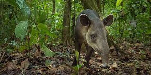 Booking a school trip to the Zoo: The Belize Zoo can accommodate a maximum of 4 schools daily. Teachers and Principals are asked to contact the Zoo beforehand to book their trip date, in order to avoid overcrowding and to ensure a more relaxed and enjoyable tour for all involved. The Zoo's Education Department offers a warm welcome and introductory discussion to visiting schools groups before they venture into the Zoo. Our discussions vary depending on the age/class levels:
When possible, the introductions are followed by an interactive session with "Balboa," our resident Boa Constrictor. School Zoo Tours - Self GuidedSchool groups are provided with brochures containing a comprehensive map of the Zoo to explore at their leisure. All exhibits have interpretive signage to help enhance learning while conducting your Zoo tour. Parents and teachers are expected to supervise their students at all times to ensure safety of both visitors and wildlife in the Zoo. For guided tours, kindly inquire at the Front Desk INTERNSHIP OPPORTUNITIES Belize Zoo Tropical Education Center 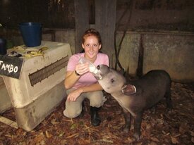 The Belize Zoo (TBZ) and Tropical Education Center (TEC) is a private, non-profit organization whose main mission is the conservation of the native fauna and ecosystems of Belize. Both the TEC and The Belize Zoo function as one unit promoting active stewardship of natural resources through environmental education and wildlife rehabilitation. As a growing organization we welcome the help and knowledge of interns who are willing to whole heartedly devote their time and knowledge towards safeguarding, promoting and enforcing our main mission. The Animal Management and Education Departments of The Belize Zoo extend a call to interested persons to volunteer as interns through The Belize Zoo Internship Program. Main Goal Of The Internship Program:To offer interns first hand experience working with ongoing programs at TBZ in the Animal Management and Education Departments. Specific Objectives: Interns will be expected to:
• Participate in organizing special zoo events, such as animal birthday parties • Accompany education department on outreach education visits to local communities • Assist in weekly reading program at a primary school split between two communities very near the Zoo. This is an important new initiative we have started as part of a larger program to address “children at risk” social factors in these communities. • Conduct observational studies of animal behaviour on-site at the Zoo. This practice gathers important information that is used by both Animal Management and Education. How To Apply: Interested person should submit a letter of inquiry stating:
Interns will be responsible for:
Duration of Internship: TBZ Internship Program is designed for a minimum of two weeks and a maximum of four weeks. NATIONAL TAPIR DAY April 27th 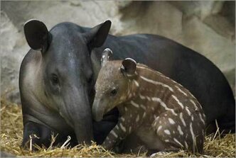 No other animal was so celebrated as April the Tapir. Each year, sometime during the month of April, one day is set aside to celebrate the tapir. Visitors and school children got to witness a rare spectacle as April feasted on her special meal, made of horse chow, honey, watermelon and carrots, garnished with brilliant hibiscus flowers, while the children sing the Mountain Cow Song. The first poster ever developed by Zoo staff in the 1980's depicted a tapir looking lovingly at her calf. This animal that now enjoys a healthy population in our country, once also existed in other parts of Central America, unfortunately not anymore. Is it any wonder then, why April was the Zoo's celebrity. She has been the most singular factor in driving the message of "Conservation" home. April the tapir, who was the oldest living female tapir in captivity, died peacefully in her sleep on November 1st 2013. And while all at the zoo mourn her loss, we are focusing our attention on celebrating her life and what she meant to Belize, and to many people living outside our borders. April arrived to the original zoo, one mile from the present location, in April 1983. A hunter found her lying in the Sibun river, unable to move. He brought her to the little beginning zoo. The small backyard menagerie was just three months old, and so was the young mountain cow. Christened “April” by the self-appointed zoo director, Sharon Matola, a hard task was at hand. “April” was in critical condition due to being heavily infested by the notorious screw worm parasite. Now eradicated from Belize, screw worm was known to kill species of wildlife as well as livestock. “April” was yet another victim. Intensive tender-loving care was provided. Sharon and “April” became roommates. Receiving medication and nourishing banana milkshakes infused with vitamins, the baby tapir slowly progressed and improved. She would live! Word got out that a young tapir was at the little zoo. People would wander in to see her. Back then, what made an impression on “April’s” adopted mom, Sharon, was the lack of understanding which prevailed about the National Animal of Belize. Constantly, she would hear people say that tapirs were dangerous animals. “They can skin you alive with their flexible nose”. Sharon and “April” began working together to change the misunderstandings about these special, gentle, plant-eating mammals. Our National Animal! Sharon was committed to turning “April” into a star ambassador for her species, which is an Endangered species, too. Her first birthday party happened when she was two years old. Six children attended. Every year, this effort continued, and every year the party got bigger, and bigger….posters were created applauding our National Animal. School children began visiting more regularly, “April” became a major attraction at the zoo. A mountain cow you can pet! And feeding “April” bananas was so very exciting to countless kids. Years passed, her popularity grew. And when “April” turned sweet sixteen, her birthday party was covered on CNN news! She met royalty and movie stars, and she herself starred in documentary wildlife films produced by Richard and Carol Foster. She was famous both in Belize and beyond our borders. Today in Belize, people no longer attach false myths to our country’s tapirs. These rare animals are viewed as beloved Belizeans. The important role they play in maintaining healthy forest ecosystems, is understood throughout the nation. One animal, “April” the tapir, provided the springboard for a vital environmental awareness. In 2012, The Belize Zoo received approval from the office of the Prime Minister to have National Tapir Day recognized and celebrated every April 27th. The seven tapirs still living at the Zoo will continue to see that the messages April brought into light thirty years ago, will continue on with zest. We will miss you, April. Thank you for all you did on behalf of one of the most special animals on earth: the Central American Tapir, our "Mountain Cow." HARPY EAGLE OVERVIEW
Does the harpy eagle migrate? No, it does not migrate. Harpy eagle pairs establish wide stretches of uninterrupted forest territories in which they continuously hunt and live. What other names does the harpy eagle have? In Brazil, the harpy eagle is sometimes called the royal hawk. What is the harpy eagles Latin name?
What is the world’s strongest eagle? This is debated. Depending on how you rate them, both the harpy eagle and the African crowned eagle have been considered the world’s strongest eagle. While the crowned eagle is Africa’s strongest eagle, most sources list the harpy eagle as the world’s strongest. So the topic is up for debate. CHARACTERISTICS What does the harpy eagle look like? As one of the largest and most powerful raptors in the world, the harpy eagle looks pretty intimidating. In addition to its large body and broad wingspan, it has massive talons, and legs that are each as thick as a human wrist.
How tall is a harpy eagle? An adult harpy eagle grows between 35 and 41 inches. How much does a harpy eagle weigh? An adult female can weigh up to 20 pounds. This is about two times heavier than the male which weighs up to around 12 pounds. What is the harpy eagle’s wingspan? A harpy eagle’s wingspan ranges from 5.9 to 7.4 feet. Did you get that? This means that from wing tip to wing tip, the harpy’s wingspan is longer than most adult humans are tall. How long do harpy eagles live? Harpy eagles can live anywhere from 25 to 35 years in the wild. Are harpy eagles friendly? Aggressive? Well, the harpy eagle is not exactly friendly, but it’s not exactly aggressive either. Conservationists say that a harpy eagle will sit on a perch and allow a human to approach it, but it’s doubtful it would allow you to reach out and pet it. Ranking at the top of the food chain, side-by-side with anacondas and jaguars, the harpy eagle has no reason to act afraid. However, it will behave aggressive if anything comes near its nest. But, all parents are like that, aren’t they? Are harpy eagles loud? Harpy eagles aren’t loud as in “You're Driving Me Crazy", but their occasional calls do sound like a loud shrill in the rainforest. TALONS & STRENGTH How big are harpy eagle talons? The adult harpy eagle’s talon is about 5 inches. To give you an idea of just how large that is, a grizzly bear’s front claw just 2-4 inches! Harpy eagles have the largest talons of any eagle. How strong is the harpy eagle? The harpy eagle’s legs and talons are so strong that it can exert more than a 110 pounds of pressure to quickly crush the bones of its prey. The harpy’s powerful talons have been compared to the jaws of a Rottweiler dog. How much can the harpy eagle lift? A female harpy eagle can fly through the canopy and snatch up a 17 pound monkey, out of the trees without missing a beat. DIET & HUNTING SKILLS What do harpy eagles eat? The diet of harpy eagles consists mainly of tree-dwelling animals such a monkeys (including squirrel monkeys, and pygmy marmosets), sloths, opossums, iguanas, and snakes. They will also eat large birds like curassows and macaws. Females often take larger prey while the males may take smaller animals more frequently. This team strategy ensures adequate food on a regular basis. When hunting, they will take heavier prey to a nearby tree stump and eat some of it before carrying the rest to their nest. Harpy eagles don’t need to eat every day. In fact, they can go a week without food. They will often feed on the same prey for a few days at a time even if has already begun to rot. Do harpy eagles eat snakes? Yes, harpy eagles eat snakes, along with a selection of mammals and other birds. While they wouldn’t likely hunt an adult emerald tree boa, their young make a nice meal. How do harpy eagles hunt? Harpy eagles hunt during the day. They don’t hunt above the rainforest like other eagles. Instead, they sit on a perch for hours at a time, waiting for prey to happen along. Harpy eagles have excellent vision, so they can spot a bird or monkey nearly 220 yards away. When they do set their sights on a potential meal, they fly below the forest canopy, taking chase up to a speed of 50/mph. Once they quickly catch up to the animal, they swoop down and snatch it up with their powerful talons. HABITAT FACTS Where does the harpy eagle live? In the wild, the harpy eagle’s range is found from Mexico through Central America and all the way down to northern Argentina in South America. What is the habitat of the harpy eagle? The harpy eagle prefers hanging out in the canopy treetops of lowland tropical rainforests. This large eagle species requires big trees and wide territories in order for its numbers to flourish. MATING & OFFSPRING Do harpy eagles mate for life? Harpy eagles are monogamous and pairs may mate for life. Since they have a lifespan of 35 to 45 years, this means a bonded pair may stay together for 25 to 30 years (longer than many human relationships). Where do harpy eagles nest? Harpies build their nests high in the tallest trees of the jungle. They construct their nests with hundreds of sticks and branches as well as plants and animal fur. By the time they are finished, a nest can be large enough for a grown human to sleep comfortably. Harpy eagles often use the same nest over and over, adding more materials to it each time so that it becomes enormous. At what age do harpy eagle lay eggs? A female harpy eagle begins to lay eggs when she is sexually mature which is usually between 4 and 5 years old. How often do harpy eagles lay eggs? Harpy eagles lay eggs every two or three years. The reason for this is because they are devoted parents who love to spoil their kids. They won’t mate or lay any eggs until their current youngsters are independent. Even though chicks are ready to fledge at five or six months of age, the parents will continue to feed them up to 10 months. The young eagles will remain with their parents one or two years so that they can learn how to hunt and be a top predator of the rainforest. How many eggs does the harpy eagle lay? What do they look like? Harpy eagles usually lay one to two large, white eggs. The female will do most of the incubating, but the male will occasionally take over to give her a chance to stretch her wings. Scientists have observed that while harpy eagles often lay two eggs, they usually only raise one chick. They believe the eagles purposely stop incubating the second egg once they see that the first has hatched successfully. If something happens to the first egg, they then use the second one as a backup plan. What is the harpy eagles call? These eagles seldom vocalize away from their nest. When the female is incubating eggs, the nearby male wails with a “wheeeeee…wheeeee…wheeeee” sound. The female responds in a similar fashion but with a different pitch. When approaching his nest of hatchlings, the male will let out chirps, sharp screams and goose-like calls. Perhaps this is to let his family know, “Don’t be scared. It’s just Dad coming home.” As the hatchlings grow older, the male will vocalize less frequently. When alarmed or distressed by exposure to rain or too much sun, nestlings will sound out a “chi-chi-chi-chi” call. Juveniles are known to make croaking, whistling and quacking sounds. INTERESTING FACTS - They're rather scary looking Are the harpy eagles real? If you’ve read this far, you know that they are real. But rumors exist that these are only mythological creatures. The idea that harpy eagles are just a legend might be because they are rarely seen. They occupy large territories that compose hundreds of acres but seldom stray far from their nests. This is why you don’t see them that much. Where can I see the harpy eagle? At the Belize Zoo, the smallest little zoo in the whole wide world. In Central America, the Belize Zoo features a restoration program where you can see and learn all about harpy eagles. A skilled guide can take you where these eagles are known to live and nest. Do they like people? In rehabilitation programs, these eagles sometimes do become familiar with humans. But, this is not really a good thing because they can become dependent on humans and may starve when they are released back into the wild. What other eagles is the harpy eagle related to? The harpy eagle is closely related to the New Guinea Harpy Eagle, which inhabits New Guinea. Also, the crested eagle, which is also native to Central and South America. Are harpy eagles bigger than bald eagles? Yes, they are. Whereas bald eagles reach a height of about 37 inches and weigh up to 14 pounds, harpy eagles measure a height of 41 inches and a weight up to 20 pounds. What’s the national bird of Panama? The harpy eagle is both the national bird and featured on the coat of arms for Panama. CONSERVATION & ENDANGERMENT
What eats a harpy eagle? Predators and Threats mentioned above, these eagles share the head of the food chain with jaguars and anacondas, so nothing really eats them. Unfortunately, they are threatened by human hunters who shoot them for sport. Plus, years of logging and deforestation have destroyed their nests and habitats so that their range is not as wide as it was in the past. Their population numbers are difficult to replace since they only breed every two years. Are harpy eagles extinct? No, harpy eagles are not extinct. But due to habitat loss and hunters, many of their numbers have been eliminated from areas they once occurred in such as El Salvador. In Belize, only a single nesting pair of harpy eagles has been observed. Is the harpy eagle endangered? No, the harpy eagle is not endangered, but it is listed as Near Threatened on the IUCN Red List. Do harpy eagles carry disease? Harpy eagles can carry viral diseases such as West Nile Virus (transmitted from mosquitoes); Newcastle Disease (contracted from infected birds and contaminated water); and avian pox (spread by other birds). They can also develop other diseases such as bumblefoot (bacterial disease); Aspergillus (fungal infection); and frounce (yeast infection). However, it is highly unlikely that a human would get a disease from a harpy eagle. What does the harpy eagle tell scientists about its ecosystem? Because the harpy eagle is considered an apex predator (at the top of the food chain), its population numbers indicate to scientists the condition of the whole forest ecosystem in which it lives. If the harpy eagle population is healthy and has plenty to eat, then this means that all of the eagle’s prey are likely to be healthy and abundant as well. Caye Caulker Island (in Belize) Many people have no idea that there is a huge cave underneath Caye Caulker. One of the largest caves in Belize, if not the entire world. Caye Caulker could possibly be sitting ontop the largest marine cave in the world. Underneath the island of Caye Caulker, is a very extensive cave system. The largest marine cave in Belize, perhaps even the entire world. According to the Belize Cave Diving Society (BCDS), many neighborhoods on the north tip of the island lie directly atop the Caye Caulker Cave complex, although there is currently no signs that anyone on the surface is in danger. Recent developments for the cave may prove monumental for the Caye – as it increases the island's visibility on the dive map, as experts and tourists alike will flock to see this unique natural beauty. Not forgetting the impact this will have on the earth science world (biologists, hydrologists, archaeologists etc) as this cave acts as a time capsule preserving life forms and conditions of a more ancient earth. And finally giving Caye Caulker global recognition for a truly magnificent natural marine creation as unparalleled as the Niagra Falls & Grand Canyon. The entrance is just 50 yards from shore. Even teams of experienced divers have not yet finished exploring the entire Caye Caulker Cave complex, but it is estimated to be quite extensive. National Geographic is taking their time to explore the cave, along with some of the elite in the dive world, headed up by James Petersen (aka ‘Chip’), from Belize Dive Service and his team of researchers. THE STORY OF THE CAVE The story so far is this.................the cave was first explored back in 1981 when the first owners of Belize Dive Services Paul Heinerth (an international cave diver pioneer and author of many books on the subject), and Chuck Hattel dug into the cave. Shortly after 1981, Frank Bountain took over Belize Dive Services (from Paul), and amounted over 500 dives in the cave itself – thus becoming the person who has dove the cave most to this date. Together these individuals, amassed significant initial information that included basic mapping of the cave. In 1995, Frank left Belize Dive Services and from then there was no active diving undertaken in the cave until November 2012 when Chip Petersen and Bill Oestreich, both recognized Cave Dive Instructors entered the cave once more. In 2009, Chip & Dani Petersen bought Belize Dive Services and have contributed to the longevity of our marine environment by funding the Belize Shark Project. Chip’s real dream in purchasing BDS was to follow the footsteps of his predecessors (Paul Heinerth & Frank Bountain) to allow Belize to realize the potentials of this natural beauty. So when Chip's mentor Bert turned up on Caye Caulker, he seized the opportunity. So to date, Chip and Marty O’Farell from San Pedro (heavily experienced cave divers) have been re-tracing Paul & Frank's steps. Chip has been given approvals (permits) by the Department of Archeology and the Environment to survey, map and research the Giant Marine Cave. Together they have been making accurate surveys through computer technology and thus far verifying and giving greater accuracy to the original data. It is believed, that in the years to come, the cave will attract elite divers from all over the world. From a commercial perspective, Chip together with the former mayor (Alberto Villenueva), have pushed for the area to be designated as a mini reserve, managed by Caye Caulker Village Council and the Dept of Archaeology. Their aim is to get a significant proportion of the profits back into the hands of the Caye Caulker community. Chip is anxious that Belizeans get involved in the cave, but stresses the dangers for those diving the cave. All divers must go through a 15 day course to learn the specifics and skills of Cave Diving before accessing the cave. Safety concerns are essential for those without the capacity to use the specialized equipment and techniques. Experienced divers are the most frequent divers to lose their life in cave diving. For this reason the Belize Cave Diving Society has been established to promote safe and responsible cave diving in Belize. Rules for guiding will be based on established methods used worldwide and a Cave Management Protocol created for all cave divers. The red lines represent lead lines for diver's to follow in the "Giant Cave" located below Caye Caulker. CAYE CHAPEL MARINE CAVE (aka Winter Wonderland) The second cave connected to the Caye Caulker complex is known officially as the Caye Chapel but has been nicknamed by divers as "Winter Wonderland". Because so much white sand has accumulated inside the cave over the years, the inside looks a bit like a snow globe, giving the cave a wintry feel. The waters are absolutely transparent and clear, revealing the silent beauty of the gorgeous "snow" encrusted stalactites and stalagmites inside the large cave. The BCDS has released a video of the "Winter Wonderland" cave, allowing even landlubbers to enjoy the unparalleled natural beauty lying beneath their feet. Anyone curious about exploring the Caye Caulker Cave System should resist the temptation and leave the mapping of the system to professional divers. Conditions inside the Caye Caulker Cave complex are not fully known, and amateur divers or unaccompanied divers should never attempt to enter the cave system and explore. A number of dangerous elements exist inside the Caye Caulker Cave complex and only professional cave divers with years of certification and training should attempt entering the complex. Currently, there are no plans yet for guided tours or other public access to the enormous cave complex. 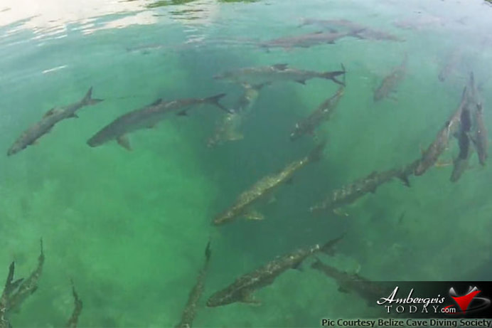 What starts out as an almost unnoticeable opening near the shore on the lagoon side of the island quickly reveals itself to be the opening of the giant cave complex, equivalent to a building several stories tall. YouTube Videos - On the Giant Cave Discovery This was truly a wonderful subject to research, and I have an immense admiration for the divers, photographers, and various organizations that are making this discovery possible.
The Cockscomb Basin Wildlife Sanctuary is a nature reserve in the Stann Creek District of south-central Belize. It was established to protect the forest, fauna and watersheds of an approximate 150 square miles (or 250,000 acres), of the eastern slopes of the Maya Mountains. Declared a forest preserve in 1984, and finally a jaguar preserve in 1986, the park is the culmination of many years of work and perseverance by individuals and national and international organizations. The reserve was established in 1986 as the first protected area for protection of the jaguar, and is the world's only jaguar preserve. As the only jaguar reserve on the planet, thse cats keep company with hundreds of neo-tropical birds, other wildcats, deeer, tapir, reptiles, insects, amphibians and all manner of other sanctuary inhabitants. You might not see all of them, but you could spot their tracks on trails and river banks. The name 'Cockscomb' derives from the appearance of the Cockscomb Mountain ridge, that resembles a rooster's comb, which is situated at the northern fringe of the reserve and which is easily visible from the coastal plain of the Caribbean Sea. This 250,000 acre wonderland is also richly endowed with breathtaking waterfalls, mountains, nature trails and rivers, creating the perfect environment for species to thrive in harmony. People who understand the value of Cockscomb Basin Wildlife Sanctuary know that it is much more than a natural area set aside for jaguars. The area was also designated to protect the upper watersheds of important river systems that deliver ecosystem services to people. Cockscomb has two distinctive basins, which are separated by a ridge of land. The East Basin drains into South Stann Creek and the West Basin drains into Swasey River, a tributary of Monkey River. In the Maya Mountain extension of the Sanctuary is Trio Branch, this ultimately drains into Monkey River Watershed. Cockscomb Basin Wildlife Sanctuary is a reservoir for biodiversity. Hundreds of species of plants with exotic leaves and flowers, colorful insects, singing birds, furry mammals, scaly reptiles, and wide-eyed amphibians live in this complex tropical forest community. Each one has a function that serves the community as a whole. Each one is adapted to the conditions that make the community unique. The mosaic of ecosystems in this rugged landscape suggests the limited extent of our knowledge of the Sanctuary’s biodiversity. The forest at Cockscomb is a tropical moist forest. Warm temperatures and high rainfall with very little wind make the forest humid all the time. Tropical moist forests are found at a greater distance from the equator where rainfall and day length vary seasonally. They are distinguished from equatorial rainforests by a cooler dry season (February to May – although this may differ from year to year with the rains). It is still very wet- with about 100 inches of rainfall every year; rainfall in the Basin is higher, making it one of Belize’s wetter areas. Tropical forests are disappearing at an alarming rate. Not only does this negatively impact the plants and wildlife, but the water cycle itself is disrupted, and the consequence is increased erosion because there is no vegetation to act as a “buffer” to hold the water in the plants and soils. We must carefully protect what is left because humans are members of the forest community with the power to conserve or destroy it. What is there to see & do at the Cockscomb Basin Wildlife Sanctuary? The main attractions are: Wildlife viewing, hiking, waterfalls, swimming, mountain views, nature trails, river trubing, and bird watching. The tracks of wildcats, tapir, deer, and other wildlife are often seen on hiking trails or along the bank of South Stann Creek. Plan an extended visit so that you can appreciate all that Cockscomb has to offer. The site has a campground, along with cabins (though primiative), 24 beds and a toilet area for overnight visitors. Cockscomb Basin Wildlife Sanctuary - Geography The Cockscomb Basin Wildlife Sanctuary is actually comprised by two adjacent geographic basins. (1) The West Basin is drained by the Swasey Branch, which is one of the main tributaries to the Monkey River. (2) The East Basin consists of the upper watershed of South Stann Creek. The West Basin, being more difficult to access given distance from trailheads and higher forest density (is also at this time), still relatively unexplored from the standpoint of species mapping, Mayan ruins and other environmental details. The reserve is generally lozenge-shaped, spanning an east–west dimension of approximately 22 miles and a north–south dimension of approximately 9 miles. Elevation extremes range from 160 feet (above sea level in the lower reaches of South Stann Creek), to 3,810 feet atop Victoria Peak. The West Basin is bounded by the ridge of the Maya Mountains on the west, Cockscomb Mountains on the north, a prominent transverse ridge of the Maya Mountains at the south (of about elevation 3,300 feet) and a low-lying north–south ridge at the east, which separates the West from East Basin. The Swasey Branch exits through the south transverse range via a deep 980 feet gorge. The East Basin is also bounded on the north by the namesake Cockscomb ridge, to the west by the low-lying north–south ridge separating the two basins, to the east by Cabbage Haul Ridge and to the south by Stann Creek Ridge. South Stann Creek flows out of the East Basin on the south in a meandering gentle gradient that was easily navigated by the British explorers in the 1880s. The site consists of two distinct adjacent watersheds and is accessible via a low-intensity trail system to accommodate visitors and research environmental scientists. Cockscomb Basin Wildlife Sanctuary - Natural history The Maya Mountains and foothills are among the oldest surface rock formations of Central America. The principal uplifted rock formations in the Sanctuary are quartzite and sandstone. Flora - The principal plant communities and habitats are Belizean pine forests, elfin scrub, Peten-Ceracruz moist forests, sheltered valley forests, and floodplain thickets. Forest - The principal forest type is tropical moist broadleaf forest, which covers moderate to steep slopes, and in some cases sheltered mountain valleys. Dominant trees in this forest type are mahogany and cedar, which were prized and hence heavily logged from the early 1900s to late in the 20th century. Water - The water run off from the surrounding mountains provides the Cockscomb Basin with a variety of creeks and streams. These come together to form the headwaters of some of southern Belize's major rivers just as the Swasey, the Sittee and South Stann Creek. Fast flowing clear mountain streams flow to the valley floors, from the two basins. This site is known worldwide as the premier habitat for the jaguar, which is most often found in the vast almost unexplored West Basin wilderness. Precipitation - The riparian zone forest areas generally feature lush broadleaf rainforest intruding into the verges of fast flowing steep mountain streams. There are particularly interesting groupings of vegetation along the rocky bedded mountain streams (which have frequent rapids), waterfalls and deep pools. Due to the density of vegetation and frequent precipitation events, the forest floor often appears fresh and verdant even after several rainless days. Rainfall - Rainfall is from 100 to 180 inches annually, which is mostly during the rainy season from June to January. The soil, as is normal in tropical forests, is extremely poor with all the system's nutrients being contained in the vegetation. It is vital that the lush growth be allowed to remain in tact, in order to stabilize the soil and prevent erosion, which can transform a cut rainforest, into a useless wasteland in a very short time. COCKSCOMB BASIN - A Wildlife Sanctuary The park area is rich in beauty, wildlife and even Maya culture, as it conceales the minor Maya ceremonial site known as Chucil Baluum. The Cockscomb Mountain Range towers over the basin to the north. The highest mountain in Belize, Victoria Peak at 3,675 feet presides over the range and is largely unexplored. Logging (in the past), and periodic hurricane damage has left it's indelible mark on the reserve. Dense secondary growth is intertwined with the more mature trees where the forest floor is relatively clear and the canopy ranges in height from 40 to 120 feet. Birds - Cockscomb is also renowned for its bird populations and boasts up to 300 recorded species. These include Macaw, the Great Curossow and Keel-billed Toucan. Jaguars - The Jaguar is the third largest member of the cat family and endangered in most of its range. Here at Cockscomb, the Jaguar is doing quite well and is by no means the only beneficiary of the safety of the preserve. Please Note: When you visit the Jaguar Preserve, you may like see signs of recent jaguar activity, but it is highly unlikely that an actual Jaguar sighting will occur. These wonderful animals are masters of stealth and their very existence is based on their seeing, but not being seen. COCKSCOMB BASIN WILDLIFE SANCTUARY - History Mayan History Throughout much of the foothills of the eastern slopes in southern Belize, there is evidence of Mayan habitation since from about 10,000 BCE. Various Mayan sites were discovered in 1931; however, the ruins were not re-sighted again until 1995 with the Dunham surveys. Thus far two other Mayan sites have been documented: (1) Hun' Tul Mo' (meaning one macaw) and (2) Xa'a Yul Ha' (meaning many rivers). 19th century The first modern explorations which lead to recorded features of the Cockscomb Basin were conducted by a British expedition in 1888 and 1889. The expedition began in the river located in South Stann Creek and ended at Victoria Peak (the highest point in Belize). 20th century Further exploration of the Cockscomb Basin did not transpire until 1927, when another British expedition was launched to assess timber reserves. Logging susequently began in 1984, primarily to extract cedar & mahogany. About the same time, a nationwide study began of the jaguar. This study was led by Dr. Alan Rabinowitz, a recent recipient of a PHD degree from the University of Tennessee. He found that the Cocoscomb Basin was an important habitat for the jaguar, not only in Belize but from a Central America perspective as well. Early 1980's Concern for the jaguars of Belize began to be raised from two different perspectives. (1) James Hyde, Permanent Secretary for the Ministry of Natural Resources had been approached by a concerned citrus farmer who had encountered jaguars in his orchard. (2) About the same time, Archie Carr III, Assistant Director of the International Division of the New York Zoological Society, ran across references to jaguars in Belize in hunting magazines. Archie Carr III, contacted Dora Weyer if they would like a study of jaguars in Belize? The answer was affirmative and Dr. Alan Rabinowitz, was commissioned to determine the jaguar population. 1982 to 1988 An ecological study was conducted by Dr. Alan Rabinowitz, where he observed that the Cockscomb Basin contained had a highest density of jaguars ever recorded. As a result (in 1984), the area was initially declared a forest reserve with a “No Hunting” ordinance, to protect the large jaguar population. However, after much concern that the Cockscomb Basin Forest Reserve was not protecting the jaguars’ habitat, a small portion of the Reserve was declared a wildlife sanctuary on February 26, 1986. In 1986, Rabinowitz and Archie Carr III convinced the government of Belize to establish a no hunting zone with respect to jaguars in a portion of the Cockscomb Basin. By 1990, the Belize government expanded the Sanctuary substantially, and in 1995 they connected the Bladen Branch Nature Reserve to the Cockscomb Basin Forest Reserve. In 1988, the area was declared the Cockscomb Basin Wildlife Sanctuary. Ignacio Pop and his son were hired as the first warrens to the park. On February 6, 1988, His Royal Highness Prince Philip (president of the World Wide Fund for Nature), visited the Cockscomb Basin Wildlife Santuary and presented Ignacio & his son, an award for their work on the park and planted a mahogany tree. Over the years, the Sanctuary has expanded from 3,600 acres to 128,000 acres. The Maya Mountain extension in the south connects Cockscomb with Bladen Nature Reserve. This makes a continuous corridor of protected areas totaling 250,000 acres. COCKSCOMB BASIN WILDLIFE SANCTUARY FACTS CURRENT AREA - Three (3) points to be considered:
Cabins & Staff House VISITOR FACILITIES - Cockscomb is run by the Belize Audubon Society. It has the best facilities of any national reserve in the country, and they are still very primiative. There are trails of all kinds, starting with a self-guided walk. Other short tracks of under a mile cut through the different habitats around the main center. Progressively more demanding paths reach out to swimming areas, waterfalls, and up to the pine forests of the basin's rim. A new trail climbs The Outlier, visible from the sanctuary headquarters, and takes a day. Ultimately, and only for the extremely fit and determined, there is the 17 miles to Victoria Peak, climbable only in the dry season, with a guide. Be warned, it takes 4 days, and has turned grown men into gibbering wrecks. Keep in mind, you also need a camping permit from the Conservation Unit of the Forest Department (08 22079). If time allows, the wardens can provide a slide show on the sanctuary for a small fee. Inner tubes can be hired for river trips. There's a visitor center and there are swimming areas and various types of accommodations in the sanctuary. At the time of writing there are a campsite bunkhouse and a two- person cottage around the headquarters area. New outlying campsites are being added for those wanting to stay deeper in the forest, and more comfortable guest houses are being put up in the headquarters grounds, for those wanting to fully explore the trail system over 2-3 days. All visitors are reminded of the importance of the reserve, the need to respect its facilities and wildlife, to quietly enjoy the area and to take out all garbage. If you are camping you are advised to treat river water all year round before drinking, and not to light camp fires. Belizeans pay an entrance fee to Cockscomb of $2.50 and foreigners $10. Over-nighting is extra. The sanctuary headquarters occupies the site of the old logging camp at Quarn Bank. Facilities in place are dormitory-style lodging for 24 people, a kitchen area, visitor centre and common room for slide shows, a gift shop, campground and equipment rental outlet, and freshwater and toilet facilities. 2 backcountry campsites are also in place. The road to the centre is not paved, although its improvement is imminent and there is parking on site. Approximately 12 miles of nature trails have been cut through a variety of low scrub and forest areas immediately around Qum Bank. The longest trail is to The Outlier (4 miles) and takes a day to walk, although there is a 17 mile (4 day) walk to Victoria Peak, but its use is discouraged because of the potential hazard, lack of emergency facilities and previous abuse by past climbers. In Belize, the government has set aside 150 square miles of rain forest in the Cockscomb Basin Wildlife Preserve, which currently provides a protected environment for around 200 jaguars, the largest concentration of the wild cats species in the world. The Belize Jaguar Reserve is the world's only jaguar Preserve. Located in Cockscomb Basin, it is home to: jaguars, parrots, black howler monkeys, toucans and a host of other species found only in the tropical forests of South America. This natural habitat was set aside by the Belizean government.This preserve is open to the public and is a wonderful stop on the tour. Each Tour Accompanied by Licensed Tour Guides WHAT TO SEE - No, not jaguars. They are there of course, but the chances of seeing one is about seventeen thousand to one. Having said that, people do occasionally catch glimpses of these stealthy carnivores, but much more likely, especially in the rainy season, is finding the pug marks along the muddier stretches of the trails. Jaguars are in fact found in all of Belize's reserves. The terrain is dense tropical rainforest with well maintained trails, jungle canopy to 120'. Wildlife to see includes jaguar, jaguarundi, peccary, howler monkey, gibnut, agouti, snakes, coatamundi, over 300 bird species. In Belize, the government has set aside 150 square miles of rain forest in the Cockscomb Basin Wildlife Preserve, which currently provides a protected environment for around 200 jaguars, the largest concentration of the wild cats species in the world. The most important feature about Cockscomb though, is its trail network, the most extensive of any reserve in the country. The River Overlook and Warrie Trails are usually the best for wildlife. From the Rubber Tree Trail, there's also the small chance of seeing the secretive Agami Heron on the banks of the South Stann Creek. The Jaguars use the trails too, as an easy way through the forest, so keep an eye out for footprints. The lower forest and the re-growth around the sanctuary head quarters (the old logging camp) are good for birds. For those who fancy a challenge, there's an over-abundance of very similar flycatchers right around this area. More obvious are Clay-coloured Robins, Social Flycatchers, Collared-seed Eaters, Crimson Collared and Masked Tanagers, and a pair of Bat Falcons. While overhead the most ridiculous sounding Montezuma's Oropendola makes its presence known. As it calls, it goes through the most acrobatic- looking spasms, gripping onto the branch, leaning back, and then throwing its head forward as it screeches, clucks, and pops, sticking its tail in the air at the same time. Deeper in the forest, there's another strange bird to listen out for. The White- collared Manakin gives a clicking sound like two stones being banged together, and judders along its perch in fits of hyper-activity. If you hear these two, you'll have witnessed some of the strangest bird calls in the world! Of the plants, the Hot Lips bush can often be seen along the edges of trails, with its special pouting red flower. In the distance, on clearer days, you may also be able to see Belize's second highest mountain. Part of the Cockscomb Range, the Victoria Peak marks the northern boundary of the sanctuary. The other feature of Cockscomb is that it offers the chance to overnight in the deep isolation of the Basin's forest, surrounded by the calls of Paraque (sounds like 'hoo-yoo'), the Slaty-breasted Tinimou, screeching insects and the gentle wind through the tree tops. It's not everyone's idea of a good night out, but for people who love the outdoors, its a magical experience. WHY VISIT THE SANTUARY? There's nothing in the Caribbean that matches the bio-diversity found in this expansive, lush corner of Belize. The CBWS preserve is home to to thousands of indigenous flowers, trees and plants in an environment that is so hospitable. The region even has its own "moisture regulation" system, making for a perfect mix of rain, temperature and slight winds. Since tropical rainforests like this one are disappearing at alarming rates, a visit here gives you opportunities to see nature as it was thousands of years ago. WHEN IS THE BEST TIME TO GO TO COCKSCOMB BASIN WILDLIFE SANCTUARY? The most active times for wildlife are in the rainy season (June to November), when the rains tend to bring them out. Animals are more active on cool, cloudy days generally. If you're a birding fanatic, migrant birds are best observed in December when it's high season in Belize. If you don't have a seasonal preference or if finances aren't governing your visit, all creatures of the CBWS are happy to welcome you year round, but don't attempt the 17 mile hike to Victoria Peak, unless it's dry season for safety reasons. WHERE IS IT LOCATED? The Cockscomb Basin WIldlife Santcuary is located about 20 miles south of Dangriga and can be reached by taking the Southern Highway. If you're in close proximity to the area's Maya Center Village, you're just about six miles away. HOW DO YOU GET THERE? You can use pulic transportation if you can. Buses from Belize City and Dangriga Town travel along the Southern Highway and can get you to Punta Gorda Town and the Maya Village Center. Be sure to keep an eye out for the parks location sign (off the highway), as it isn't easily visible. The dirt road from the Southern Hghway extends for six miles and isn't paved. If you use public transportation, you will then need to hike into the park. If you drive, you'll need a car capable of tacling rugged terrain. If you're coming from one of the Cayes, suggestion is to take either a Maya Island Air or Tropic Air flight for the 20 minute trip to Dangriga, and then a taxi. Easiest & safest way to get there is to hire a licensed tour guide, to make the trek with you. Public Transportation - Buses leaving from Belize City and Dangriga Town enroute to Punta Gorda Town can stop at Maya Center Village, if requested (about 3.5 hrs). All buses stop in Dangriga Town before proceeding south. Flights are available from Belize City to Dangriga Town (Maya Island Air or Tropic Air) and take approximately 20 minutes. From Dangriga you can either hire a taxi to Cockscomb or take a bus to Punta Gorda Town and ask to stop at Maya Center Village. Plan Your Visit: Hours of Operation (8:00am-4:30pm) Entrance Fee: Nationals: BZ $2.50, Non-nationals: BZ $10.00 Main Attractions: Wildlife viewing, hiking, waterfalls, swimming, bird watching Accommodation: There is a campsite, for camping & a bunch-house with 24 beds and a toilet area, though primiative. BEST WAY TO EXPERIENCE THE SANTUARY The best way to experience the sanctuary is one of two ways. (1) by staying on-site at the facility. It sleeps 24 and is rather primitive (think of it as summer camp as a kid), with toilet facilities. (2) is to bring your camping gear, and get a camping permit. During your visit, see Chucil Baluum, a Classic Period Mayan ceremonial site, Victoria Peat at an elevation of 3,675 feet and as many trails as time allows. Visits can inlcude trip to swimming areas, waterfalls, pine forests and the newest trail of all: The Outlier. With the right guide, you can morph an already fascinating visit, into a extraordinary visit. COCKSCOMB BASIN WILDLIFE SANCTUARY TOURS Hours of Operation - 8:00am to 4:30pm Entrance Fee: Nationals: BZ $2.50, Non-nationals: BZ $10.00 Main Attractions: Wildlife viewing, hiking, waterfalls, swimming, bird watching Accommodation: There is a campsite, for camping & a bunch-house with 24 beds and a toilet area, though primiative. Length: Approx. 7 hours Degree of Difficulty: Moderate Terrain: Dense tropical rainforest with well maintained trails, jungle canopy to 120' < Possible Wildlife: jaguar, jaguarundi, peccary, howler monkey, gibnut, agouti, snakes, coatamundi, over 300 bird species Tour Description The whole day will be spent exploring the trails through the Jaguar Preserve in the Cockscomb Basin Wildlife Sanctuary, an area of tropical, moist forest that lies within the shadows of the Maya Mountains. Waterfalls, rivers, wildlife and plant life abound here. Over 290 species of birdlife have been sighted! (camping)After a relaxing breakfast we set out from the Lodge in a four- wheel drive vehicle. The first mile of road is through a pristine wetlands rich in birds and amphibians. (Watch for crocodiles on the side of the road!) On most days the air will be clear enough to see the majestic spire of Victoria Peak (3,675 ft.) and the distant Maya Mountain Range. Sedge marsh turns to orange groves, and the settlement of the Sittee River Village. Within a few minutes we reach the Southern Highway and cross over the Sittee River. We soon arrive at the Maya center and the entrance to the Cockscomb Basin Jaguar Preserve. We stop briefly to sign in and to view the beautiful hand-carved slate plaques, baskets, clothing and jewelry made in the Village by the local Mayan Indians, who have formed an arts and crafts co-operative. We then continue our journey deep into the dense tropical rainforest of the Cockscomb Basin, which has a total protected area of over 250,000 acres. The road here is often in poor condition; however, by using four-wheel drive vehicles, the trip becomes an adventure. We park and begin our hikes at the park headquarters. You'll want to check out the Education Center that details the topography, geology, plant and animal life that make up this incredible rainforest. Your guide will then take you on several established trails, each with its own unique characteristics. As you walk the trails your guide will interpret the flora and fauna which make this park such an amazing and unique place. This preserve is believed to have the world's highest density of jaguar as well as puma, ocelot, margay and jaguarundi. After your morning walk we will return to the ranger station for lunch and rest up for a hike to a beautiful waterfall; a great place to take a cooling swim. By late afternoon you will be ready to rest and reflect upon all the incredible sights you've seen, and we will begin our journey back to the Lodge. Although Cockscomb is famous for its cat species, it is also a good place to see other mammals. Black howler monkeys have recently been reintroduced to the preserve and are sighted regularly by our guests along the forest trails. Large groups (up to 40) of white-lipped peccary are sometimes heard and sighted here feeding on cahune nuts. Don't forget to bring: bug repellent, hat, water bottle, swimsuit, towel, hiking shoes, camera, binoculars, rain jacket, bird identification book and a zest for adventure! COCKSCOMB BASIN WILDLIFE SANCTUARY - Sample Tour After a relaxing breakfast you set out from the Lodge in a four- wheel drive vehicle. The first mile of road is through a pristine wetlands rich in birds and amphibians. (Watch for crocodiles on the side of the road!) On most days the air will be clear enough to see the majestic spire of Victoria Peak (3,675 ft.) and the distant Maya Mountain Range. Sedge marsh turns to orange groves, and the settlement of the Sittee River Village. Within a few minutes you reach the Southern Highway and cross over the Sittee River. You soon arrive at the Maya center and the entrance to the Cockscomb Basin Jaguar Preserve. Stop briefly to sign in and to view the beautiful hand-carved slate plaques, baskets, clothing and jewelry made in the Village by the local Mayan Indians, who have formed an arts and crafts co-operative. Then continue your journey deep into the dense tropical rainforest of the Cockscomb Basin, which has a total protected area of over 250,000 acres. The road here is often in poor condition; however, by using four-wheel drive vehicles, the trip becomes an adventure. You park and begin to hike at the park headquarters. You'll want to check out the Education Center that details the topography, geology, plant and animal life that make up this incredible rainforest. Your guide will then take you on several established trails, each with its own unique characteristics. As you walk the trails your guide will interpret the flora and fauna which make this park such an amazing and unique place. This preserve is believed to have the world's highest density of jaguar as well as puma, ocelot, margay and jaguarundi. After your morning walk you will return to the ranger station for lunch and rest up for a hike to a beautiful waterfall; a great place to take a cooling swim. By late afternoon you will be ready to rest and reflect upon all the incredible sights you've seen, and you will begin the journey back to the Lodge. Although Cockscomb is famous for its cat species, it is also a good place to see other mammals. Black howler monkeys have recently been reintroduced to the preserve and are sighted regularly by our guests along the forest trails. Large groups (up to 40) of white-lipped peccary are sometimes heard and sighted here feeding on cahune nuts. Don't forget to bring: bug repellent, hat, water bottle, swimsuit, towel, hiking shoes, camera, binoculars, rain jacket, bird identification book and a zest for adventure! COCKSCOMB PLANE WRECKAGE COCKSCOMB BASIN WILDLIFE SANCTUARY - Plane Wreckage How many people know the story behind the plane wreckage, in the Cockscomb Basin WIldlife Sanctuary? Back in 1983/1984, Dr. Alan Rabinowitz’s in his single engine plane crashed, after his wing clipped a quamwood tree (while taking off), from the landing strip in the Cockscomb Basin. The plane was used for air monitoring jaguars, he had captured and placed radio collars on. Then would then release the jaguars back into the sanctuary to conduct a two year study on their behavior in the Basin. The crash was caused by a local thunderstorm and heavy rain. Dr. Rabinowitz, a photographer and the pilot all received minor injuries. I think Therese Rath assisted with the aftermath of the crash. Dr. Rabinowitz has since passed away, and his absense will be felt by many. So many people get upset with the government, because it doesn't do more for it's people. But when you read about what they are doing to preserve the rainforests and establish parks and reserves to protect the environment - I have to say, I'm impressed.
As a group of citizens that live in this country, we may not be able to affect the enviornment in other countries, but we can start by working within our own borders. Nohoch Ch'en Sinkhole Nestled deep within the Chiquibul National Park lies a series of massive sinkholes. The Nohoch Ch'en Sinkhole, largest of which is nearly 1,000 feet wide and 600 feet deep, is about the same size as the famous Blue Hole (located at Lighthouse Reef Atoll). This sinkhole lies in a massive karst environment (which consists of about 40 other sinkholes). A karst environment exists when there is a series of underground caves which begin to collapse, losing their roof and creating a sinkholes. This karst environment is home to many unique features. Nohoch Ch'en the largest sinkhole in the area, is unique in the fact that there is only one small bridge of jungle connecting the jungle at the bottom of the sinkhole to the surrounding jungle, meaning it is a relatively isolated habitat. Within the sinkhole, team members found many species of reptiles and amphibians, rare ferns and orchids, and a possibly nesting pair of the incredibly rare Orange Breasted Falcon. Perhaps one of the most breathtaking discoveries was the remaining evidence of the significance of this sinkhole to the Ancient Maya. Within and surrounding the sinkhole, many structures, plazas, pottery, and other evidence was commonplace. Inside the sinkhole itself, many artifacts were found including 4 unbroken pots high up the cliff face in a small cave. Nohoch Ch'en is but one of many amazing features of the Chiquibul, but it is not without it's threats. Deforestation and incursions from over the border threaten this beautiful land, and it is up to the govering rangers of FCD (Friends of Conservation & Development), and all of us to protect it. The Red Line shows the Chiquibul Cave System (Going from Kabal Cave (in Belize) & extending to the XIbalba Cave (in Guatemala) The yellow dots, represent all the sinkholes in the area. You can see the location of the Nohoch Ch'en Sinkhole. CHIQUIBUL CAVE SYSTEM CHIQUIBUL CAVE SYSTEM Each year, rain falls on the non-carbonate rocks of Belize’s Maya Mountains and flows west toward the karstic Vaca Plateau. The Chiquibul River goes underground connecting the Chiquibul System’s Kabal Cave Group, which connects (4) caves, by one waterway passage (the Chiquibul River). The cave system consists of four big caves and numerous sinkholes, which have been extensively explored during the last 30 years. Actun Kabal (Kabal Group) - This upper section of the Chiquibul Cave System has over 12 km of mapped passages, with a depth of -95 m. Included is Chiquibul Chamber, at 250 m by 150 m one of the world's largest caverns. 1. Actun Kabal Cave - The upper end of Kabal Cave System Group there is ponded waters with large, washed-in rotting trees and organic debris. Downstream the system holds less water and organic material because fewer collapses intersect the cave. Passages in the cave are generally 10-60 m wide and 10-30 m high. The downstream end of the Kabal Cave System Group is a valley collapsed passage that ends at the entrance of the Actun Tunkul. 2. Actun Tunkul Cave (Stone Drum) - Includes Belize chamber with dimensions of 300m by 150m by 65m, it is one of the largest natural caverns in the world. TunKul was connected with Cebada cave in 1999, resulting in a 39m long cave. Most of the floor is a thick deposit of sand and silt laden with organic debris. The cave ends in a deep sump about 500 m from the upstream end of Cebada cave. 3. Cebada Cave - Cebada Cave and Tun Kul were linked in 1999; at 39 km it is the longest cave in Belize. The entrance to Cebada Cave is 1.5 km east of the Guatemalan border at the base of a deep collapsed sinkhole, like the other caves of the Chiquibul System. The passage is similar to Actun Tunkul but has more side passages and the side passages tend to be longer. Downstream from the Cebada entrance, the Chiquibul River flows about 2.2 km and sumps just before reaching Guatemala. 4. Xibalba Cave (Guatemala) - This downstream section of the Chiquibul Cave System is entirely within Guatemala, and is the country's deepest cave. Over seven kilometres of passages have been mapped, including some that are over 100 m wide. The cave entrance is 200 m across. The river discharges below Xibalba’s main entrance, with (2) other significant passages also occur in this cave. (Passage #1) Is a dry (upper level, 30-m-wide by 20-m-high) passage that extends north from the main entrance. (Passage #2) Begins at the Zactun sinkhole and extends as a series of lakes for nearly 3 km to the upstream end of the main passage. Exploring the Chiquibul Kabal Cave System Cavers Mike Boon and Tom Miller visited the area in 1971 and 1982 respectively, with Miller initiating the first cave explorations. Miller followed up with major international expeditions in 1984, 1986 and 1988, partially funded by National Geographic and the National Speleological Society. First expedition - surveyed the dry cave passages in Kabal and Tun Kul at the upstream part of the system, ending at a sump at the end of Tun Kul. Second expedition - surveyed dry cave passages and river passages in Cebada and Xibalba. Third expedition - attempted but failed to connect Cebada with Tun Kul. In 1990 a comprehensive cave survey was prepared by Steve Grundy and Olivia Whitwell. Thousands of years ago, most of the landmass of Belize was covered by a broad, shallow tropical sea. One of the major rock types deposited in this sea was limestone, a rock formed of calcium carbonate. This limestone can have its origin either from biological materials like corals and mollusks, or in some cases the limestone can be precipitated directly from the seawater. Geology of the Belize Caves System Like the modern Gulf of Mexico, this shallow Cretaceous sea was occasionally subject to violent storms that disturbed the floor of the sea. These storms created a distinctive type of limestone rock called a breccia. Breccia is a rock that is made up of angular pieces of other rocks. The angular pieces of rock are called “rip up clasts.” These are pieces of rock several inches on a side that were torn up and jumbled about before the clasts or pieces had a chance to harden. The distinctive rock is very easy to dissolve. Almost all limestone is soluble in a dilute solution of carbonic acid. Thousands of years later, these Cretaceous limestone formations were uplifted on the northern flanks of the Maya Mountains. After these mountains were uplifted, water would run off the crystalline rocks, and come into the outcrop of the Cretaceous limestone. As the rainwater fell through the atmosphere, it would react with carbon dioxide in the atmosphere. After the rain fell into the soil on the crest of the Maya Mountains, the water would absorb additional carbon dioxide from decaying plant material. The rainwater turns into a weak acid, which then reacts with the limestone rock. The acidic rainwater enters the limestone rock, and travels along zones of weakness called joints. Joints are microscopic cracks in the rock that are produced by mountain building processes (tectonics) and by earth tides (similar to oceanic tides). Water finds it easier to dissolve into the limestone than to flow across the limestone outcrop, creating a karst landscape. Nohoch Ch'em Sinkhole, as it sits in a karst landscape. Karst Landscape - This process of solution produces a distinctive type of landscape characterized by caves, sinkholes, and a lack of surface drainage. This landscape is called a Karst landscape, named for a region in former Yugoslavia. These processes of solution are accelerated in a tropical climate, so Belize is an example of a tropical Karst environment. The karst landscapes evolve though various stages which can be called (1) Youth Stage, (2) Middle Age Stage, and (3) Old Age Stage. The Cave Branch area, is part of the Old Age Karst landscape. One of the distinctive features of an old age landscape is a feature called a Karst window. Karst Wndows - As caves come to intersect with the land surface, they begin to collapse. This means that caves gradually lose their roofs. An underground river like the Sibun or Caves Branch River will run intermittently through the caves and above ground. Eventually, the caves will completely collapse, and the caves will be replaced by a valley without a roof. Karst Window - In A Old Age Stage - Kartst Landscaping This is similar to what you find in the Chiquibuil As the caves collapse and are destroyed by erosion, a single cave that was once very large (or long), becomes divided into a series of shorter caves. Many side passages become separate caves, like the Crystal Cave for example. Underground Cave Rivers & Streams - Cave rivers or streams, are active waterways. This means during rainy season (in summer), and hurricane season (in the fall), the cave can be completely fill with water. This is evidenced by large logs which are jammed into the roof of the cave ceiling. The cave stream also carries a great deal of sand and cobble-sized gravel. Some of this river gravel has its origin in the crystalline rocks of the central Maya Mountains. The main component of these river gravels is from chert or silica nodules that are part of the original limestone rock. These underground rivers behave much like surface ground rivers. Which means these river channels have a meander system similar to a surface river. Meandering rivers can change their course, and create what are known as high water levels, or abandoned meanders. As the limestone dissolves, it is redeposited in the caves as flowstone and dripstone. These caves then become full of stalagmites, stalactites, and other types of cave formations. The formations that are near to the water level are often redissolved during the higher water levels. This is a reminder that caves have a life of their own. Caves can be youthful, they grow old, and finally they die, as they are eroded away. The Chiquibul Cave System is an excellent example of a mature Karst landscape, and the site reminds us that nothing, in geology or life, is forever. Help us to protect this awesome natural wonder. Examples of Karst Topography NOHOCH CHEN SINKHOLE EXPEDITION Nohoch Ch'en Sinkhole Expedition In early 2015, a team of 22 people set out to reach the Chiquibul National Forest in Belize, to discover and explore the Nohoch Chen Sinkhole. A massive bowl with sheer limestone walls, dropping 500 feet below the jungle, and brethtaking views. Nohech Ch'en Sinkhole Expedition (as told by Marguerite Bevis (Jim's Wife) The seeds for the Nohoch Ch’en Expedition were planted years ago when Neil Rogers flew over the Chiquibul Forest and took the first images we had ever seen of the giant sinkhole. Jim Bevis (owner and operator of Mountain Equestrian Trails), in Cayo kept this photo over his desk for some twenty odd years. This was one expedition he was determined to make happen. In time, Jim approached Mr. Rafael Manzanero, Executive Director of Friends for Conservation & Development (FCD), for endorsement and to ensure that an expedition into this massive sinkhole would be beneficial to the development of the FCD Karst Management Program in this remote area of the Chiquibul. The answer was, “Let’s do it.” The purpose of the expedition would be to document one of the most remote, rugged and unexplored locations in Belize and to hopefully further justify to Belize and the world, the uniqueness and value of this region as a potential World Heritage site. The Nohoch Ch’en sinkhole, the largest of 49 collapsed doline formations that are located mostly over the Chiquibul Cave System, is located in an area where surface water is very scarce, making it challenging to explore for long periods of time. Very little scientific information was available for this region of the Chiquibul National Park, let alone the forest environment at the bottom of the 650’ wide and 450’ deep sinkhole. In the year 2000, several members of the Millennium Expedition descended by rope into the sinkhole and made brief observations, but time did not permit exploration and little data was collected, as this was not the main focus of their expedition. Jim spent months studying maps, making lists, planning every detail. He assembled a seasoned exploration team for the project: Jim Bevis, expedition leader, Marguerite Bevis (myself), camp nurse and communications coordinator, and our son, Arran Bevis, area exploration leader, have all led and outfitted expeditions into the Chiquibul since the early 90’s. Jim Allan, a world-class alpine climber and explorer, instructed and supervised the difficult technical climbs required. Neil Rogers is an adventure travel specialist who took the photo that inspired us all. Tony Rath, photographer extraordinaire, who’s well known images have attracted worldwide attention to the beautiful Jewel that is Belize, offered major support during the planning and implementation phase. Therese Rath, Tony’s lovely, vivacious, and energetic wife, was invited along to assist Tony and to cook, which she did amazingly. Bruce Holst, of The Marie Selby Botanical Gardens is perhaps the world’s top specialist in epiphytes and other tropical forest plant species. He has been doing research in Belize for over 20 years and has collected and catalogued over 10,000 species of different flora here. Bruce’s assistant, Ella Baron, founder of the Caves Branch Botanical Gardens, also became a part of the team. They would spend all day finding and mapping new specimens, and then work for hours in the evenings sorting, identifying and pressing, plus saving live specimens for various botanical gardens, including the National Herbarium in Belize. Other team members included Giovanni Martinez, level 3 rope rigger and natural history expert, as the rescue technician and lead medic; Nickolas Lormand, a film student from New Mexico; Joey Martinez, camp cook and “chain-saw Ninja”, when it came to clear the old logging road for the expedition to navigate deep in the Chiquibul; Hugo Orellano, camp cook and maintenance man; and Jairo ViaFranco, the “bush”mechanic who was able to fix anything and saved the day on several occasions. The FCD Rangers were essential team members. Gliss Penados and Boris Arevalo contributed significantly to the scientific component of the expedition gathering data and mapping areas by GPS. There were other FCD Rangers whose vigilance and knowledge of the area, made for a safe working and living environment. These are the brave sentinels of the Chiquibul. They kept guard day and night and reported their observations of the presence of potential intruders. Their dedication and commitment to conserving the Chiquibul is inspiring. Having loaded two trailers, one with supplies, the other with passengers, twenty team members began the journey on January 26, 2015 into the deepest parts of the Chiquibul Forest Reserve. We drove the tractors/trailers to FCD’s Tapir Camp where we spent the first night. We travelled the good road almost to Millonario but at that point, we had to reopen an old logging road for about ten kilometers to the base camp location at the pass below Nohoch Ch’en. Reopening the road took three days. On the fourth day, after hours of backbreaking labor, just before dark, we set camp at our final destination. MET donated a Weatherhaven 20’x20’shelter to FCD. This was an opportunity to instruct the FCD Rangers to set it up for use as a base camp facility. The tent housed a charging station for everyone’s electronics and was powered by a small generator for a few hours a day to charge the 12 volt batteries for continued use after the generator was turned off. A large table was in the center for food preparation and serving. Along the edges of this tent was storage for food and equipment. A water station was constructed to filter the dark tea-colored water brought from a Maya aguada every other day by tractor. After filtration the water was still slightly colored but purification drops were added for additional protection and nobody became ill. On the first morning at the base camp, the scientists and photographers went to the top of the sinkhole for the first glimpse and images of this magnificent natural wonder. Others stayed in camp to set up the large shelter and a kitchen and build sanitary facilities. Thus began the daily routine of exploration and discovery. While some descended into the sinkhole by bosun’s chair, others continued to search for a source of water closer to camp and for an above ground entrance to the giant underground chambers of the Chiquibul Cave. The scientists were constantly at work searching for epiphytes, and they were excited by what they found. Dr. Holst found over 50 species of orchids alone. Specimens have been sent to Marie Selby Gardens. At the bottom they discovered large boulders covered with mosses, ferns, and orchids, and a profusion of epiphytes. Getting to the bottom of the sinkhole was not easy. A Harken winch helped to lower people down to a ledge about a third of the way down into the hole and then they could carefully make their way to the bottom. Each member was carefully harnessed and double checked for safety before descending or ascending. Team members discovered small shallow holes in the vertical walls all around the sinkhole. One small cavern could be seen from across the rim and at the entrance were large Mayan pots. Climbers spent a day and a half accessing this cave, to photograph the three large storage urns. What we know for sure is that the bottom of the sinkhole had not been explored or looted by modern man and it is extremely rich with various plants and epiphytes. Bruce Holst called the sinkhole and its rim, “exceptionally rich beyond words.”The only mammals seen in the sinkhole were Spider Monkeys that climbed effortlessly in and out of the sinkhole via cascading vines. A pair of Orange-Breasted Falcons were seen every day and are likely nesting in the sinkhole cliffs, but no nest was seen. Slate-colored Solitaires could be heard singing their incomparable flute-like song most days. There also appears to be Mayan ceremonial temples on the west and east rims of the sinkhole and temples with plazas were found for miles in every direction near the sinkhole hill. Ancient Mayan agricultural terraces were everywhere. It became evident that the Maya did climb down into the sinkhole to build ceremonial places to leave pottery or mementos, presumably to honor the dead. It is unlikely anyone lived there. There is no water in the bottom of the hole; however, possibly it was there in the day of the Maya. Nohoch Ch’en means great well and water was a precious resource then and now. There was an aguada at the base of a Maya site near our base camp, which still holds water today. There was very little water elsewhere – a few muddy puddles but no creeks, no rivers. Water is the major limiting factor in planning this and future expeditions. Also evident during the expedition, is that the area is heavily trafficked by intruders. There was a lot of Guatemalan branded trash around their campsites and trails. They are not taking just Xate; they are taking valuable hardwoods and wildlife and leaving behind garbage. The area is at risk of becoming one big Guatemalan milpa. The issues are complex and there is no simple answer. In order to protect the Chiquibul, FCD requires the finances to sustain the efforts on the ground. Concerned citizens at home and abroad can help by supporting FCD. To know more on how to help visit the www.fcdbelize.org website. The Chiquibul Forest is rich in biodiversity. The bottom of the sinkhole is a virtual time capsule of plant specimens and undisturbed Mayan relics. Mayan terraces and buildings abound. Consider that also within the Chiquibul Forest is the natural bridge, “Puente Natural” and the Chiquibul Cave System, the largest cave system in Central America, not to mention the Mayan city of Caracol. The Upper Macal and Raspaculo Rivers are nesting grounds for the endangered Scarlet Macaw and have an abundance of wildlife. Let’s not forget that these are the headwaters for the Belize River, possibly your drinking water. The Chiquibul Forest is important not only for Belizeans but for the world. It is our unique and irreplaceable natural and cultural heritage. Photo Credits: by Tony Rath and Neil Rogers Rivers of Belize These are the main rivers of Belize. Belize has a total of 35 major and minor river catchments or watersheds which drain into the Caribbean Sea. Here's 21 rivers to take a look at................ONLY IN BELIZE!
There are twenty-one (21) major rivers in Belize. The location and flow of these result from the geographical features of the land and the amount of precipitation in the area. NORTHERN BELIZE (3) In the north where the land is flat and the rainfall is lower, there are only three major river systems. These are the Rio Hondo, Boots River and the New River which flow sluggishly in a north-easterly direction. CENTRAL & SOUTHERN BELIZE (18) In the central and southern areas of the country, where there is more rainfall and more mountainous terrain, there are eighteen major rivers. The most northerly of these is the Belize Old River while the most southerly is the Sarstoon. These rivers flow in an easterly direction from headwaters in the Maya Mountains to estuaries in the Caribbean Sea. Because of rain, most communities in Belize have access to a supply of water from the natural environment but these waters may not be potable at source. Belize City, Dangriga and Belmopan have water works which access and treatwatersfrom major rivers. Other communities like Benque Viejo Town, San Ignacio, Corozal Town, Orange Walk Town and Punta Gordaget their supply from underground. Belize River, Belize 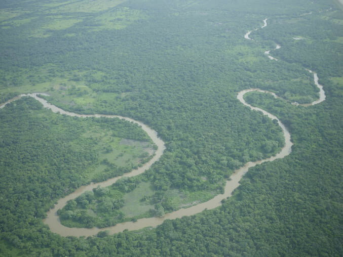 Belize Old River The Belize River runs 180 miles through the center of Belize. It drains more than one-quarter of the country as it winds along the northern edge of the Maya Mountains to the sea just north of Belize City. The Belize river valley is largely tropical rain forest. Also known as the Old River, the Belize River begins where the Mopan River and Macal River join just east of San Ignacio, Belize. The Belize River – Mopan River Catchment contains over 45 percent of the population of Belize. The Belize River, in spite of 78 runs or rapids, is passable via the Mopan to the Guatemalan border. It served as the main artery of commerce and communication between the interior and the coast until well into the twentieth century, and has long been associated with forestry of logwood (for dye) and of mahogany which survives in small stands. Bladon River, Belize 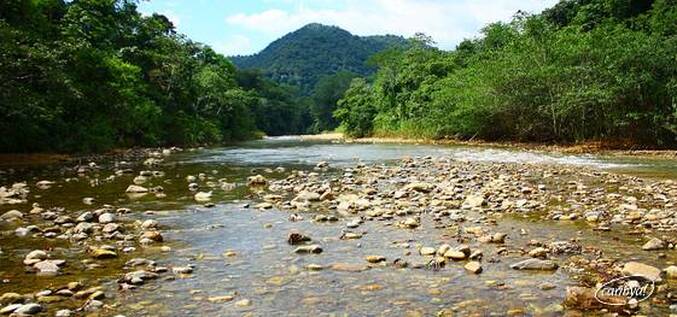 Bladen Branch Deep River, Belize 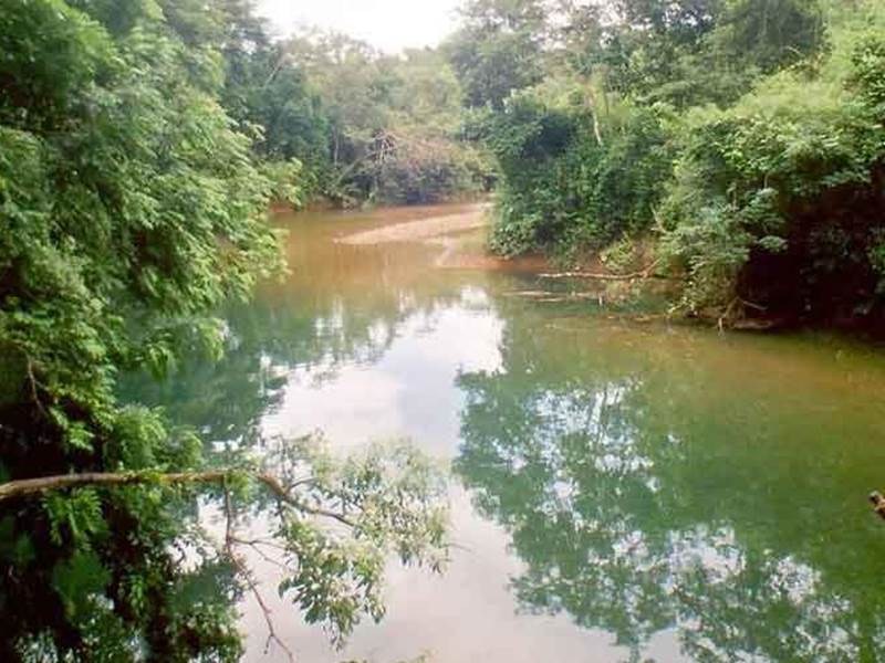 Deep River Deep River (Deep River) is a stream in Toledo District (Toledo). Deep River is also known as Deep River, Rio Deefs, Rio Hondo, Río Deefs, Río Hondo. Its coordinates are 16°16'60" N and 88°39'0" W in DMS (Degrees Minutes Seconds) or 16.2833 and -88.65 (in decimal degrees). Manatee River, Belize 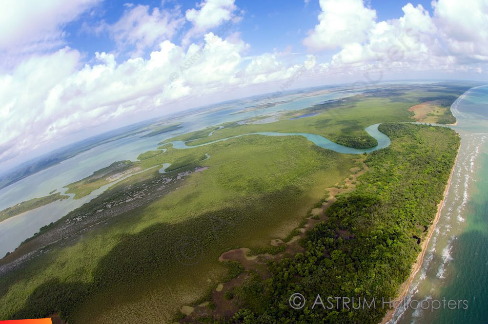 Manatee River Manatee River is a coastal watercourse in the Belize District of Belize. It consists of two parts, one on the western side of the Southern Lagoon, and the other connecting the eastern side of the Southern Lagoon with the Caribbean Sea (sometimes called the Manatee Bar River). The beach on either side of the mouth of the river is a nesting site for Loggerhead and Hawksbill sea turtles. The river was originally known by the Maya as the Texach. Macal River, Belize  Macal River The Macal River is a river running through Cayo District in western Belize. Sites along the river include the ancient Mayan town of Cahal Pech and the Belize Botanic Gardens. The Macal River discharges to the Belize River. There are several tributaries to the Macal River including the following streams: Privassion, Rio On, Rio Frio, Mollejon and Cacao Camp. The size of the Macal River catchment basin is approximately 1,492 square kilometers. The Macal River rises in a rugged portion of the Maya Mountains and flows in a northerly direction where it joins with the Mopan River to form the Belize River. Lying to the east of the Macal River Basin is the Cockscomb Basin WIldlife Sanctuary, established specifically for conservation of the jaguar. Due to the steep terrain of the headwaters region and the high rainfall of the upper Macal Basin, the Macal River is subject to rapid stage height rise, contributing significantly to the downstream flooding of the Belize River. By legend, the river is named after a beautiful young girl Macall, an uncommon name. The lower river is navigated year-around with canoes. North of the Western Hwy is the Mopan River - South of the Western Hwy is the Macal River. Mopan River, Belize 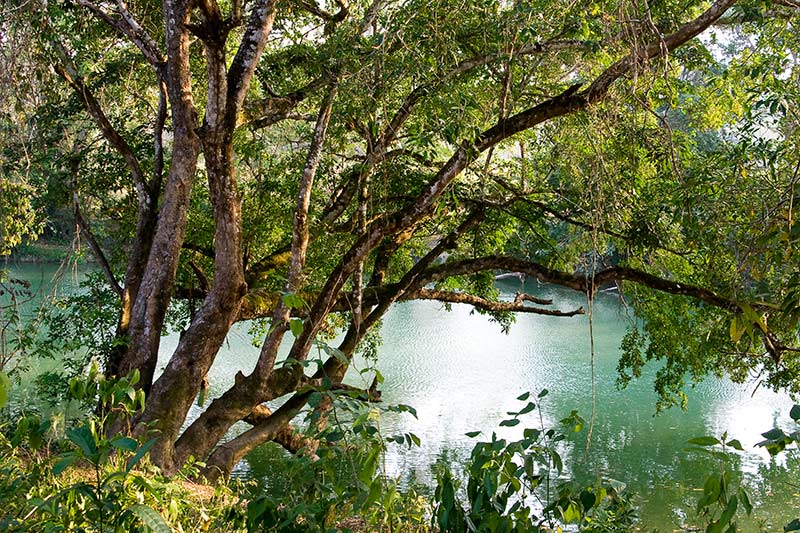 Mopan River The Mopan River is a river in Central America spanning the Peten Department of Guatemala and the Cayo District of Belize. It merges with the Macal River at Branch Mouth, Belize, forming the Belize River, which ultimately discharges to the Caribbean Sea. The drainage area of the combined watershed is 3,642.6 sq miles. Tributaries of the Mopan include Chiquibul Branch, Ceiba Grande, Salisipuedes, and Delores. Moho River, Belize 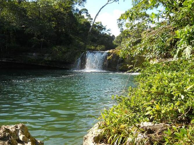 Moho River The Moho River is a river in Guatemala and Belize. The river is navigable year round between Santa Teresa and the mouth. The Moho River descends from the Maya Mountains to the Caribbean Sea. Journeying along you will experience both the calm meandering water that reflects the intense green of the jungle to stretches of rapids, pour-overs and spectacular waterfalls. Venturing into this remote region of Belize is a unique way to experience the traditional village life of the Maya people and learn about the habits of the wildlife. Kayaking the Moho River Kayaking the Moho River Located deep in the lush rainforests of Southern Belize, is the Moho River. Kayaking the emerald waters of this beautiful river offers an opportunity to explore one of the last remaining untouched regions of the country. What type of wildlife can you expect to see on the Moho River? We often see howler monkey, kinkajou, iguana and we also see so many varieties of tropical birds. The raptors are a highlight with sightings such as laughing falcon, black hawk eagle and ornate hawk eagle. Do guests need previous kayak experience to experience the Moho River? No previous experience is needed to experience this river. The guides provide excellent instruction in how to handle the boats and how to read the water. The first day on the water is pretty mellow, current and easy rapids so it is the perfect warm up. Most of the whitewater is what we call pool-drop so it is very forgiving and even if someone does wipe out on a run, typically they just end up floating in a calm pool below laughing. People who join this trip should know how to swim and be comfortable around water. Monkey River, Belize 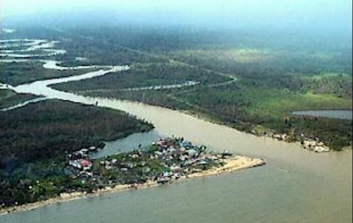 Monkey River Monkey River has been rated one of the top rivers in Southern Belize. Tropical birds, butterflies, crocodiles, iguanas, and of course howler monkeys are just a few of the wildlife that visitors see on this river. Ten interesting things to know about Monkey River 1.) Monkey River Village lies on the coast of Southern Belize, home to about 200 people. 2.) Monkey River is a perfect to experience amazing flora and fauna of southern Belize. 3.) Families of howler monkeys can be seen and heard along the rivers edge. 4.) Nature Trails, Manatee watching, and Bird watching are tours on Monkey River. 5.) Hiking along Monkey River, you can encounters tropical birds, gibnuts, deer, ocelots, tapirs, and agoutis. 6.) Monkey River was critical to the banana industry in the 1800’s. 7.) The river banks in Monkey River are perfect for birding. 8.) The Monkey River tour is a 15 miles boat ride from Placencia. Mullins River, Belize  Mullins River Mullin River is the name of both a river and of a village on that river in the Stann Creek District of Belize. The village of Mullins River is located at the mouth of the river of the same name on the coast of the Caribbean Sea, north of Dangriga. At one time the Mullins River provided the only convenient route for bringing out produce from the Stann Creek Valley area and the town was prosperous and well populated. New River, Belize 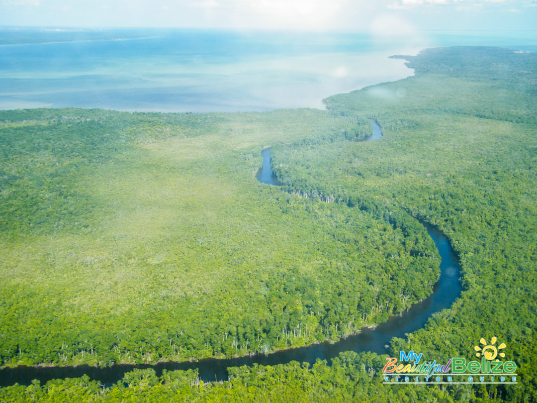 New River The New River, also Rio Nuevo, is a river in northern Belize. As the longest river that is entirely confined to Belize, it drains primarily the eastern part of the Orange Walk District during its north-northeasterly course and empties into the Chetumal Bay. The river also forms the New River Lagoon, the largest body of fresh water in Belize, just east of the Maya temples of Lamanai. The New River is a habitat for numerous types of fish, birds, as well as crocodiles. Rio Grande River, Belize Rio Grande River The Rio Grande River begins in the southern hills of the Maya Mountains in the Toledo District of Belize. From that tropical beginning the clear waters stream down, through the Machaca Forest towards the most southern reaches of the Port Honduras Marine Reserve before blending in perfectly with the greater Caribbean Sea. Amongst the tributaries which feed below Big Falls into the Rio Grande River is the Jacinto Creek. Be prepared for rapid change in river width, for the river widens considerably as it heads for the sea. Rio Hondo River, Belize 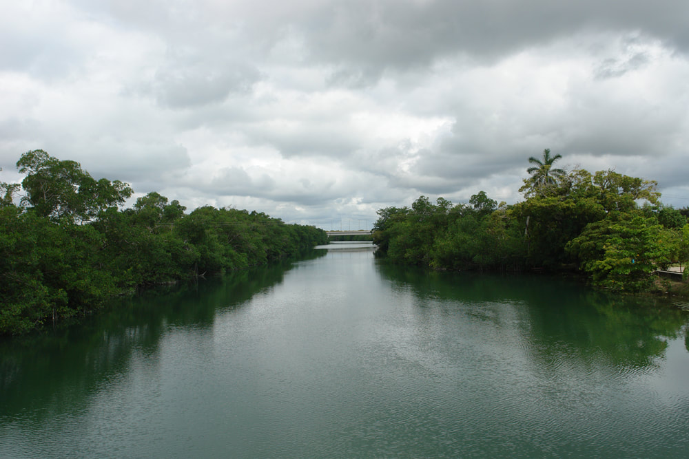 Rio Hondo River The Hondo River or Río Hondo river is a river of Central America, approximately 93 miles long, which flows in a northeasterly direction to discharge into Chetumal Bay on the Caribbean Sea. Most of the international border between the nations of Mexico and Belize runs along its length. The river is formed from the confluences of several upper tributaries, such as Blue Creek and Chan Chich (Rio Bravo) which have their sources in Guatemala's Peten Basin region, and Booth's River which originates in the western Belizean district of Orange Walk. These tributaries join to form the Hondo River near the settlements of Blue Creek Village, on the Belizean side, and La Unión on the Mexican side. The river continues its northeastern course with few other settlements along its length until reaching its outlet in Chetumal Bay. The city of Chetumal, capital of the Mexican state of Quintana Roo and the region's main port, lies close to this outlet. Sibun River, Belize  Sibun River The Sibun River (Xibun River) is a river in Belize which drains a large central portion of the country. The Sibun (Xibun) where ancient Maya people who inhabited the region. Sibun River, view from Hummingbird Highway. The headwaters of the Sibun River are located within the Maya Mountains, at approximately 800 meters above sea level, where it is known as the Caves Branch River. The river then flows through a gorge until it reaches an alluvial floodplain, where citrus and cacao plantations exist. Here the river valley is flanked by karst topography featuring Maya cave sites. Before the river reaches the village of Freetown Sibun, river figs and spiny bamboo (Guadua Longifolia) are common along its banks; along the stretch of river between the coast and the village, mangroves are predominant. It empties into the Caribbean Sea, south of Belize City. The Sibun River Watershed features several vegetation types, including tropical evergreen seasonal mixed needle forest, broadleaf forest, mangroves, and agriculture. The Sibun Watershed Association is a local organization focused on environmental issues within the watershed. Sittee River, Belize 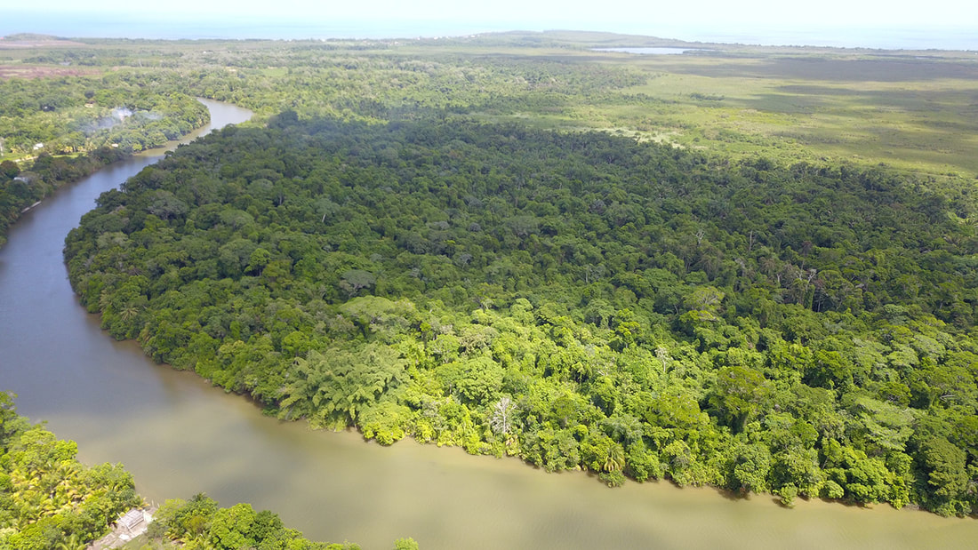 Sittee River Located in central Belize, the mangroves located at the mouth of this river are the tallest ever reported for the Caribbean region and among the tallest anywhere in the entire Neotropics. The mouth of the Sittee River represents the optimal conditions for mangrove development and the forest found there has a high level of structural development. Freshwater flows and sediments carried by the river itself, draining from the Maya Mountains, and tidal flushing from the Caribbean Sea all support this tree growth. The forest at the mouth of the river is composed of three mangrove species: red mangrove (rhizophora mangle), white mangrove (laguncularia racemosa) black mangrove (avicennia germinans). Stann Creek, Belize 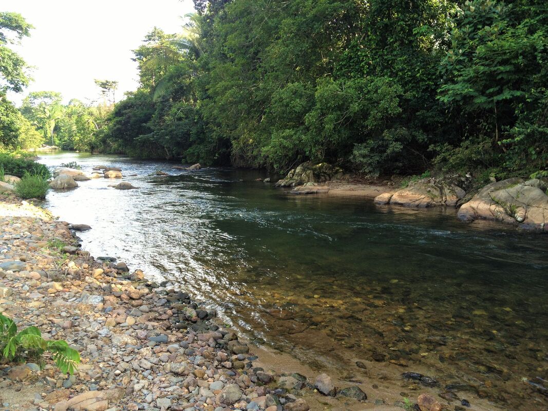 North Stann Creek River - The North Stann Creek River is 40 miles long, it winds through the North Stann Creek Valley rapidly at first and then more lazily and then empties into the Caribbean Sea at the bar mouth of Dangriga. The river is made up of two main branches, a north branch and a south branch, that joins behind Steadfast. The south branch originates in the Sittee Forest Reserve and is famous for the Davis falls. The north branch orginates near the Cayo-Stann Creek border. The Kent River is a smaller tributary, that joins the north branch at Middlesex. South Stann Creek River - is a watercourse in southeastern Belize. The administrative division, Stann Creek District, is named after the river. South Stann Creek rises in the foothills of the eastern slopes of the Maya Mountains within the Cockscomb Basin Wildlife Sanctuary. It drains the Cockscomb West Basin. Temash River, Belize 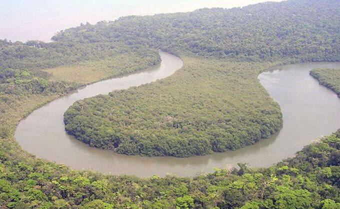 Temash River Between the Sarstoon and Temash rivers, sits the Sarstoon-Temash National Park. The park protects the entire watersheds of these two wild and remote rivers, including a vast wetland complex and the most highly developed riverine mangrove in the country. Both rivers then empty into the rich fishing grounds of the Caribbean Sea. The survival of STNP‘s unique wetlands and mangrove complex owe much to the careful management practices of the local indigenous peoples who have historically used its resources. Remoteness and difficult access has helped greatly in its preservation. Between the Temash & Sarstoon Rivers is the Sarstoon Temash National Park Sarastoon River, Belize 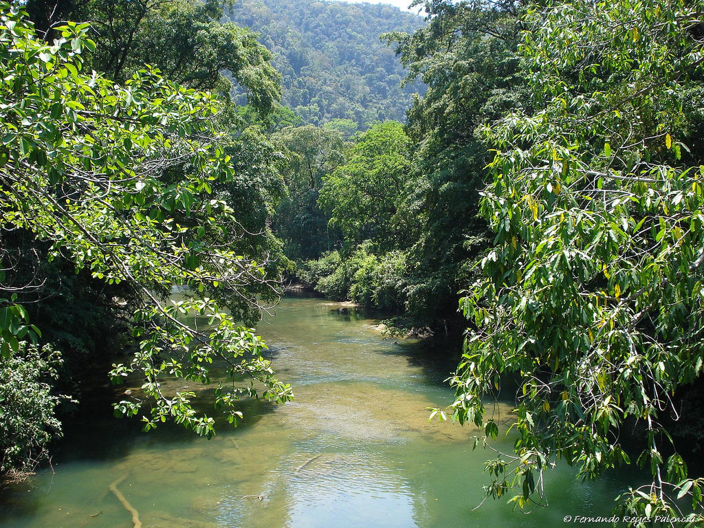 Sarastoon River The Sarstoon River, acts as a dividing line between Belize and Guatemala. Guatemala insisted that Belize had no control over the river or Sarstoon Island and Belize claims half the river and Sarstoon Island as being within it's territory. The territorial boundary, remains unsettled and the river is highly patrolled by both countries Belize and Guatemala. Waterfalls in Belize are some of the most gorgeous places on earth, to spend some time. The pristine beauty and the tranquil atmosphere (that surrounds a waterfall), is a real treat to the eyes. There is something about the sound of trickling, flowing, dripping water, that relaxes and refreshes us. Below are 15 unbelievable waterfalls, found only in Belize. 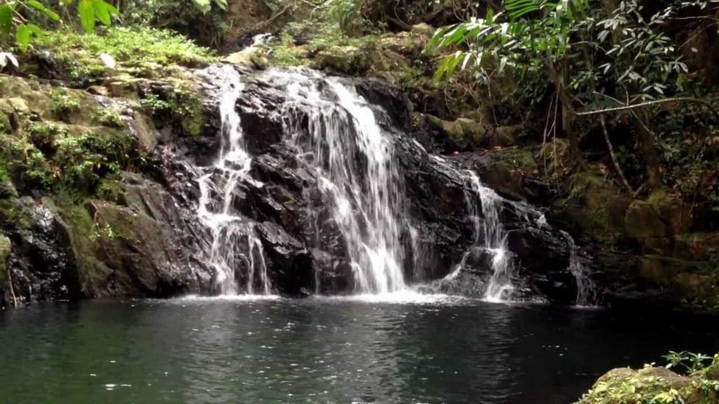 1. ANTELOPE FALLS Most of Belize’s waterfalls are located in state parks, and Antelope Falls in Mayflower Bocawina State Park is no exception. At nearly 1,000 feet tall, this is one of the country's tallest waterfalls. The hike to Antelope Falls is more difficult than many others, but the panoramic views (from the top), of the surrounding rainforest and the Caribbean Sea is well worth the effort. There is an upper and lower portion to the falls, the latter being the easiest to reach. The park offers guided bird-watching, zip-lining, and hiking tours to ancient Mayan ruins. 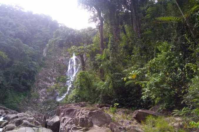 2. DAVIS FALLS At nearly 500 feet tall, Davis Falls are said to be the second-largest in the country. Davis Falls is located in the Stann Creek area, which puts them in close proximity to amazing beaches, ancient ruins, and a host of other tourist sites. The falls are located just off the Hummingbird Highway near the town of Dangrea, and there’s a fee to enter. Due to their remote location, one of the favorite methods of seeing them is by guided ATV tour. 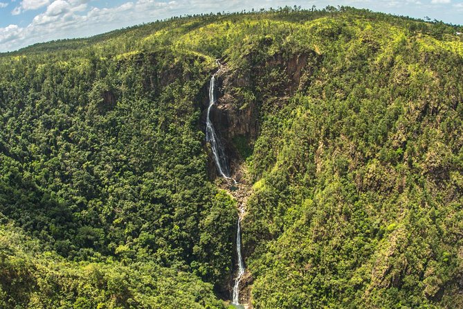 3. THOUSAND FOOT FALLS At nearly 1,600 feet, The Thousand Foot Falls are a bit misnamed, it's actually much more than a thousand feet in height. Occastionaaly referred to as "Hidden Valley Falls" by some. This is the tallest falls in the country of Belize, and for that fact for the entire Central America area. Due to the sheer size of the falls, they can be seen from far away, especially when driving through the valley below. It's quite a drive to get all the way there, and though the view is magical, you don't get to jump in the pool of water at the bottom. Once you turn off the main road, you continue on for about 4 miles. This will bring you to the falls and a picnic area. You can view the falls from across the gorge and through breaks in the mist. A small store and picnic tables can be found at the viewpoint (open 7:00 a.m. to 5:00 p.m. daily). Thousand Foot Falls is located in the Mountain Pine Ridge Forest Reserve. 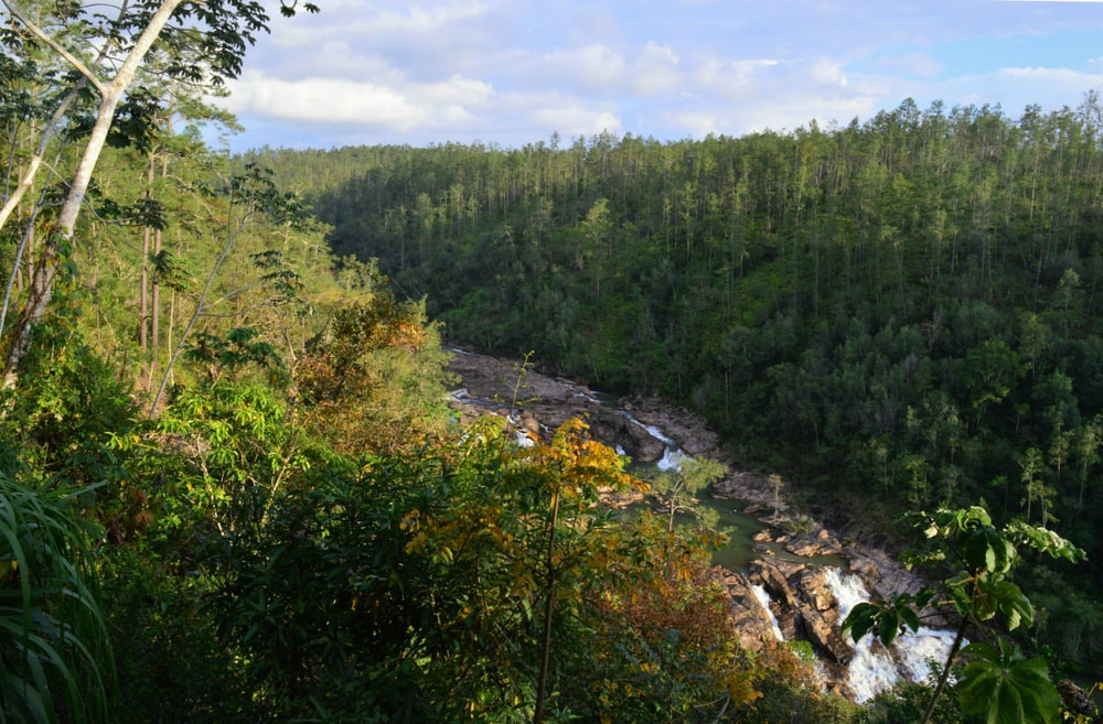 4. BIG ROCK FALLS Big Rock Fals is a gorgeous 150 foot waterfall on the Privassion River in the Mountain Pine Ridge Forest Reserve in the Cayo District, and is among the largest falls in Belize. Due to the rock over which the falls flow, the water is tapered into a V-shape, giving the falls a truly unique look. Though the surrounding rocks may look climbable, be careful; they can be slippery. Although the water doesn’t look too forceful, it packs a lot of punch. The pool below is easily accessible and a great place for a family swim and picnic. It can be accessed through a trail about 300 yards long down a 130′ deep gorge and is an ideal location for swimming or sun tanning.The tremendous view of water rushing over the huge 150-ft rock formations and plummeting into the deep perfectly round pool at its base provides a rush of excitement. A visit to this magnificent spot is one of the highlights of any trip to the mountain Pine Ridge area. 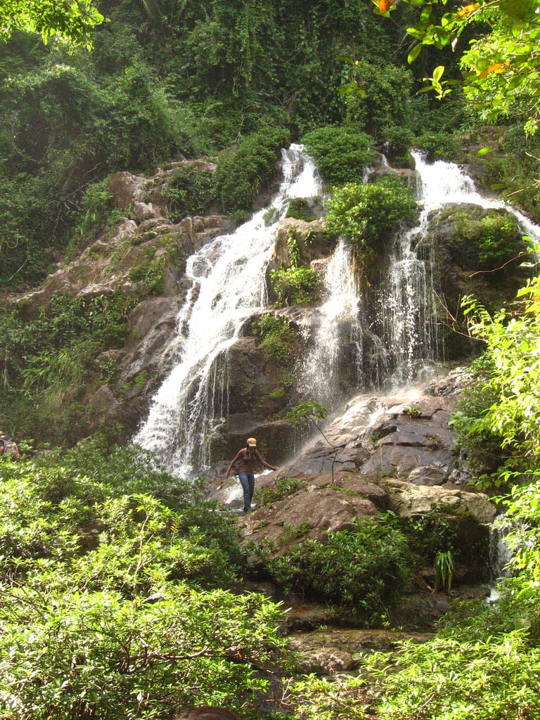 5. BOCAWINA FALLS The Bocawina Falls are found inside the Mayflower Bocawina National Park. There is actually three waterfalls in this national park (Bocawina Falls, Three Sisters Falls, and Antelope Falls). In addtion to this stunning waterfall, Bocawina is home to an amazing number of bird species, Mayan ruins, and a zip-line that’s purported to be the longest in the entire country. At nearly 100 feet tall, the falls are impressive and picturesque. Due to their hidden location in the surrounding forest, they are best reached with a guide. The pools below the falls are a great place for a swim or picnic and repelling and climbing are available if you’d like to get your heart rate up. If bird watching is your thing, don’t forget your binoculars. Access to the park is easiest from Hopkins, about 20 minutes by car. However, tours are offered from Placencia and Dangriga, as well as from Hopkins. The entrance to the park is about 4-1/2 miles off the Southern Highway. From the visitor center, to get to Bocawina and Three Sisters Falls, which are close together, it’s an easy hike of about 1-1/4 miles on the marked Bocawina Falls trail. The trail to Antelope Falls, about 1-3/4 miles, is somewhat more difficult due to some steep sections that can be slick after rains. Maps of the trails are available at the small visitor center. So far, little excavation has been conducted at the Mayan sites, but the parklike setting at the base of the Maya Mountains is beautiful. 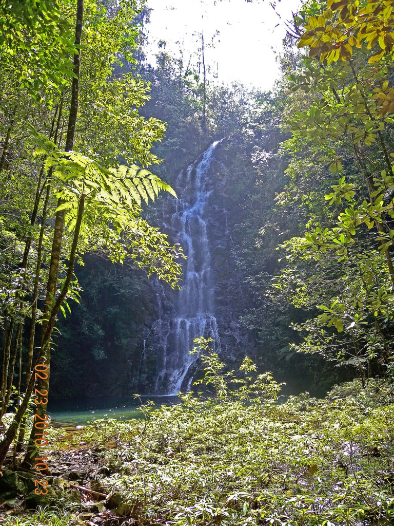 6. BUTTERFLY FALLS Located in the southern portion of Belize, Butterfly Falls is located on the border of the Mountain Pine Ridge Forest Reserve (in the Cayo District), which is nearly 100,000 acres of protected pine forest. Though near the forest reserve, the falls are actually on private property and can only be accessed through special permission. The water above the emerald green pool falls nearly 80 feet from the fall’s crest, contrasting with the rock face and lush jungle surrounding it.  7. MAYA KING FALLS Near the quaint fishing town of Placencia on Belize’s southeast Caribbean coast, the Maya King Waterfalls are perfectly located for those who want to experience the country’s eco-related activities like hiking, climbing, and snorkeling. At about 70 feet high, the fall’s water drops from the forest above and splashes to the scenic pool filled with refreshing water at its base. The falls are on private property and there is a small fee to enjoy them. It’s best to go with a tour guide; the cost will include transportation, entrance fees, and the guide’s fee too. 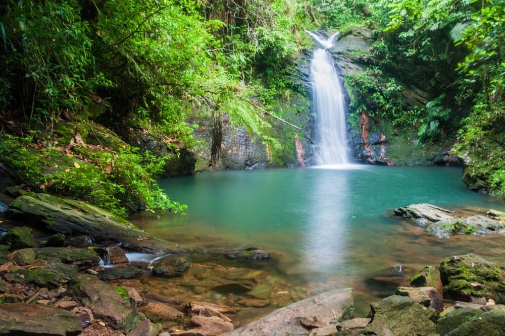 8. TIGER FERN FALLS Located in Cockscomb Basin Wildlife Sanctuary is Tiger Fern Waterfall. The hike from the park headquarters to the falls is about (4) kilometers. Depending on your physical ability, it should take no more than a few hours round trip. The park employees will give you an overview of the various trails in the area; if you’re comfortable with the layout, you’re more than welcome to head out on your own. Keep an eye out for the exotic plants and animals that call the park home. Many of them aren’t found anywhere else. 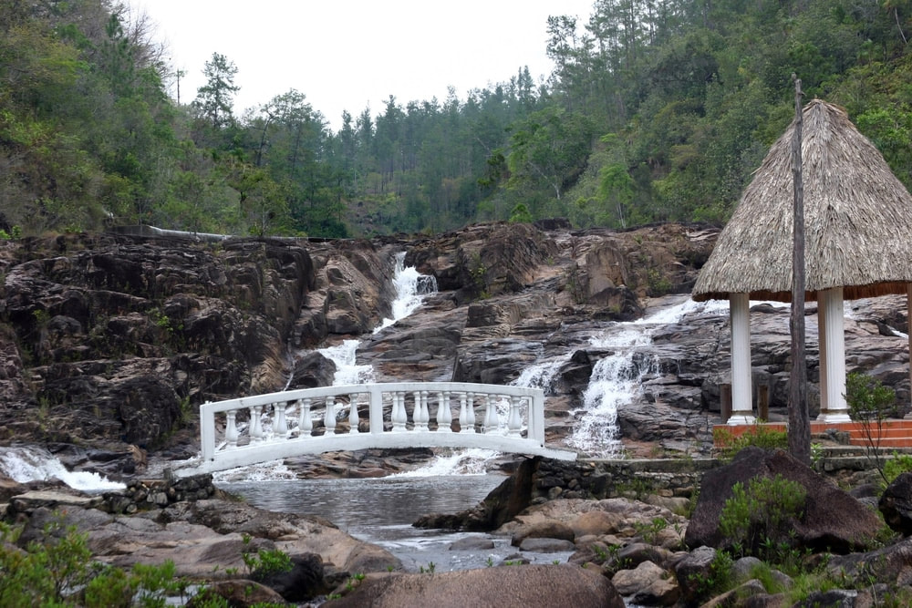 9. FIVE SISTERS FALLS The waterfall got its name because the water forms 5 separate streams as it rolls over the rocks and boulders, hence the name Five Sisters and is excellent for a cool and refreshing swim. Located near the central Belize town of Sarawina, Five Sisters Falls is a popular attraction to visitors heading to the Mountain Pine Ridge Forest Reserve. Five Sisters is noted for its enticingly clear pools and gleaming falls set against the dense green forest nearby. The falls are near to lodging and restaurants if you’d like to spend the evening in luxury after a tough day of slashing your way through the jungle. The falls and viewing areas are easily reachable from the park office and resort. 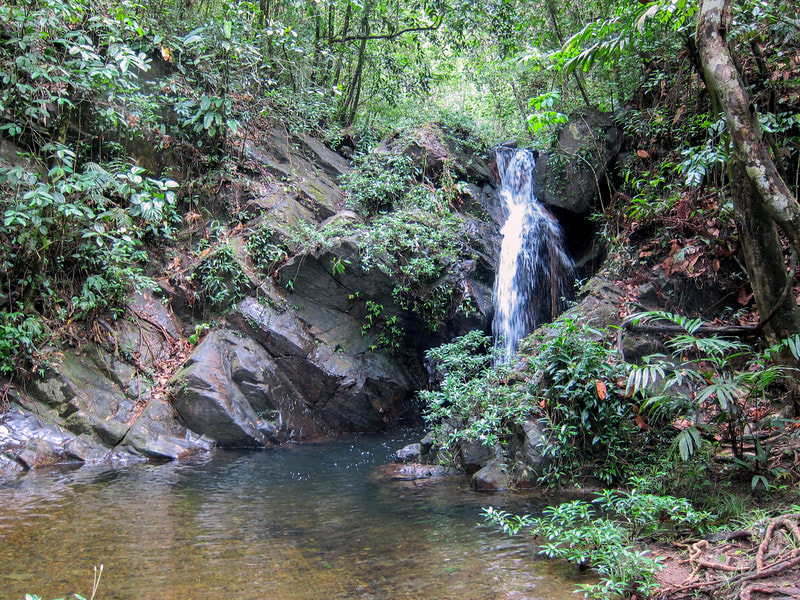 10. BEN BLUFF FALLS Located in the Cockscomb Basin Wildlife Sanctuary, Ben’s Bluff Waterfall is another must-see waterfall in Belize’s Stann Creek area. The park’s land has been set aside to protect the area’s plants and animals. The moderately difficult trail winds its way about 4-1/2 kilometers through the park to the falls. Though it can be tricky in spots, it’s suitable for most visitors. Though not tall by waterfall standards, the falls are beautiful and well worth the effort to get to them. Be especially careful in the early morning or late afternoon, as this is feeding time for many jaguars. 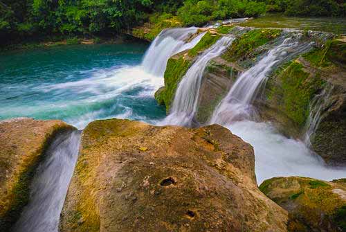 11. RIO BLANCO FALLS Located inside a 500-acre protected area, the Rio Blanco Waterfall in San Antonio is part of an area set aside for the local indigenous people. In part, they support themselves from revenue from the falls, so there’s a fee to enter. The mile-long trail is accessible by car or on foot, but it’s best not to drive because (depending on the season), the trail can be narrow and slick. At just about 20 feet, the falls make up for in beauty what they lack in size. Don’t forget a bathing suit and bug spray, and don’t be surprised if you see some of the natives enjoying the falls and swimming hole too. 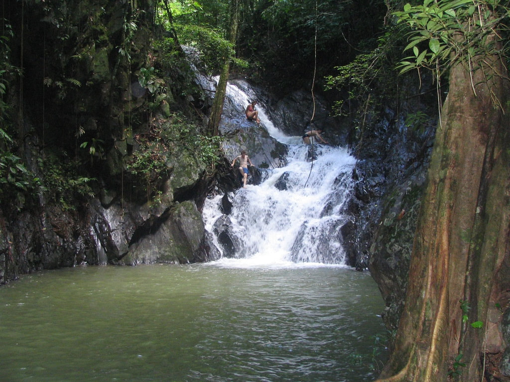 12. BILL BARQUEDIER FALLS Located in a national park with the same name, Billy Barquedier falls are conveniently located in the country’s popular Stann Creek area, which makes them a great place to see in an easy day trip. There’s a fee to enter the park, and the falls are about half an hour from the parking area. The trail can be difficult in areas, including portions over slippery stone and up muddy embankments, so be careful. The falls aren’t large, but they seem to emerge from a dark hole in the surrounding jungle, and the pool below is a great place for a refreshing swim. 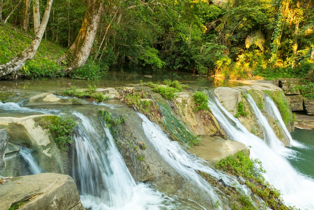 13. SAN ANTONIO FALLS If, like me, you thought that a waterfall that barely reached 10 feet wasn’t exactly a must-see in a country with so many noteworthy sites, guess again. Near the small town of San Antonio, the small but scenic falls sport easily accessible pools above and below; each are perfect places to take a dip and wash away that sweat and grime. The pool’s water is shallow, and if it hasn’t rained recently, clear too, which makes them easy to wade across and check out some of the things that live inside. The falls are a stone’s throw from the road leading out of town and are a great stop, even if just for an hour or two.  14. GOLDEN STREAM WATERFALL Another small but tranquil and beautiful waterfall is the Golden Stream Waterfall, located near a town of the same name in southern Belize. Even today, villagers still use the waterfall to get water, wash clothes, and bathe in. These small waterfalls are more well known for the large pools they flow into. The pools are large and deep, making them perfect for swimming. You'll probably have the pleasure of sharing them with some of the village children. It's not far from the village of Golden Stream, so its a perfect place to see the life of local people, as you enjoy this spot. 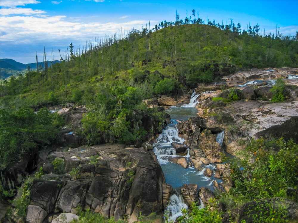 15. RIO ON WATERFALLS & POOLS Located near Cayo, in Belize’s western interior, just off the main road in the Mountain Pine Ridge Reserve (before reaching Augustine Village). Rio on Pools and the surrounding falls are often referred to as Belize’s most alluring swimming pool. Although they are waterfalls, they’re really a series of natural pools set along a slow-moving river strewn with large, round boulders. The scene revealed from the riverbank high above is absolutely breathtaking. A short hike down to the river transports visitors to a swimming pool wonderland. Whether your desire it to sit under a waterfall, slide over the smooth granite boulders, swim in your very own selection of pools or simply bask in the awesome natural beauty around you, Rio On Pools is sure to provide a relaxing and enjoyable experience.  1-1/2 pounds of Belizean conch 1 sweet pepper (medium size) 1 onion (medium size) 1-1/4 c. of flour 1-1/2 c. of water 1 sprig of cilantro 1 celery stalk 1/4 tsp. salt 1/4 tsp. pepper 1/4 of Habanero chili pepper (optional) Prepare Ingredients: Clean your conch and cut it into pieces. Clean, de-seed and chop a sweet pepper into small pieces. Clean, peel, and chop onion into 8 pieces. Clean, and chop celery into 4 pieces. Clean and chop up your herbs (cilantro, basil, etc.) Place in Blender: Place all of the above in a mixing bowl, spoon 1/3 of the ingredients into a blender followed by 1/3 cup of water and blend for 6-10 seconds. Pour into a new mixing bowl and continue process until all the ingredients has been blended. In Mixing Bowl: Stir in flour. Add salt & pepper (mixture consistency should be like a cake batter; if you need more water just add a small amount. In Skillet: Pour oil in frying pan and heat the oil in frying pan (medium heat): make sure oil is sizzling to get the desired results (if you like, you can begin to heat oil around step 6). Spoon 1 pot spoon size of mixture into frying pan (cook 4 -5 at a time); turn over only when ends are golden brown and the fritter is somewhat cooked; continue cooking on the other side until entire fritter is golden-dark brown. Drain on a paper towel placed on a large serving plate. Repeat cooking process until entire batter is finished CONCH FRITTER DIPPING SAUCE  1/2 c. prepared salsa 1 c. real mayonnaise 1 tsp. garlic powder 1/4 tsp. cayenne pepper 1/2 tsp. dried basil, crushed 1/2 tsp. salt (more or less to taste) 1/4 tsp. pepper Mix everything together and place in small ramikins and serve with hot conch fritters. 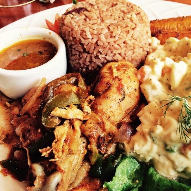 1 (4 lb.) chicken cut into small pieces 1 clove garlic, minced 1 tsp. thyme, salt, pepper Small bunch of cilantro 1 tiny silver of ginger 2 Tbsp. onions, chopped 1 Tbsp. green or red sweet pepper, chopped 1/4 tsp. cumin 1 tsp. brown sugar 1 small ripe tomato Dime size red recado Vinegar or lime juice DIRECTIONS 1. Wash chicken pieces, season with vinegar, lime juice, red recado, cuming, thyme, cilantro, salt and pepper. 2. Heat 2 Tbsp. cooking oil, add brown sugar and watch carefully to avoid burning. LEt sugar cook until completely melted and turns dark. 3. Add clove of garlic that has been smashed and minced. 4. Add giner and fry, stirring, remove ginger when it gets brown. 5. Add chicken and brown properly on all sides. 6. Add remaining seasoning from chicken, chopped onions, sweet pepepr and tomato and add about a half cup of water. 7. Reduce heat to medium and cover pot. Let simmer, adding water so the pot is never completely dry. 8. Cook for about 1 hour until chicken is very tender. How to Cook Belizean Rice & Beans  1 lb. red kidney beans (fresh) 1 medium onion sliced 2 lbs. rice Black Pepper 1/2 tsp. thyme 1 tsp. salt 2 plugs garlic (crushed) 1 can coconut milk (15 oz.) 6-8 c. water DIRECTIONS 1. Collect all ingredients. 2. Soak beans for 4-6 hours. 3. Boil beans with garlic, onion, until tender. 4. Season soften beans with black pepper, thyme and salt. 5. Add coconut milk. Stir & taste. Let boil. 6. Clean and wash rice. 7. Add rice to seasoned beans. Stir, then cover. Cook until water is absorbed or rice is tender. If necessary add more water gradually and continue cooking until rice is tender. 1. Cockscomb Basin Wildlife Sanctuary While visitors rarely see a jaguar, the many ecosystems of Cockscomb support a rich and varied bird fauna - forest species, pine woodland and savanna species, species restricted to riverine areas, and birds associated with higher elevations. 2. Crooked Tree Wildlife Sanctuary In 1998, this protected area was declared Belize's first Ramsar site based on the wetland's international significance for many migratory and non-migratory wetland bird species. Large numbers of wading birds flock into the lagoons during Belize's dry season (February through May) when food is hard to find in other places. 3. Aguacaliente Wildlife Sanctuary These wetlands in the Toledo District attract a number of very visible birds forming the principal attraction for visitors. Aguacaliente protects important breeding colonies for the Wood Stork and Boat-Billed Heron. There are a few birds in Toledo District that can't be found elsewhere in Belize. 4. Mountain Pine Ridge Forest Reserve Raptors cruise the valleys of the Pine Ridge and it is the most likely place in Belize to see the rare Orange-breasted Falcon. 5. Ambergris Caye & Caye Caulker Of all the habitats in Belize, the littoral forest on the Cayes is the most endangered due to development. Caye littoral forests benefit the Black Catbird and White-crowned Pigeon, both are listed as near-threatened species. The mangrove habitat also attracts many other birds. 6. Caracol Archaeological Reserve Caracol is one of the last outposts where the Keel-Billed Motmot, a globally vulnerable species is relatively common. Other notable birds seen at Caracol include Ocellated Turkey, Crested Guan, and Great Curassow. While admiring the largest Maya site in Belize, you may also see colorful toucans and trogons. 7. Half Moon Caye Natural Monument Declared a crown reserve bird sanctuary in 1928, the Red-Footed Booby colony of Half Moon Caye is the oldest site for wildlife protection in Belize. Half Moon Caye's population, an estimated 4,000 birds, is made up almost entirely of White Booby Birds with black on the trailing edge of the wings. 8. Red Bank Village
The unmistakable Scarlet Macaw flocks to the small Maya Village of Red Bank in South Stann Creek seasonally. As many as 100 birds gather near the village (primarily from January to March), to feed on the sweet ripe fruits of the annato trees. 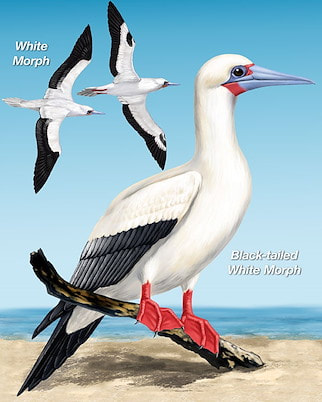 Found only on Half Moon Caye, they live there for about 10 months of the year. Nesting starts around mid-December and the young hatch around March. Chicks are full grown in a matter of months and then its off to the open sea. Flying fish are their favorite food, caught at night when the fish are nearer the surface. Most of Half Moon's Boobies are white, instead of the more normal brown color found in and around the Caribbean. In 1928, part of Half Moon Caye was reserved by the crown, as a bird sanctuary under the Crown Land Ordinance to protect the habitat of the Red-footed Booby. It is Belize’s oldest site designated for protection of wildlife. Over 120 different species of birds can be seen on Half Moon Caye. The Half Moon Caye colony is made up of about 4,000+ birds nests, amidst Orange-flowered Ziricote trees. Red-footed Boobies prefer Orange-flowered Ziricote trees for nest building and raising chicks. In return, the booby colony supports the forest’s stability by providing guano as fertilizer. This beautiful relationship will endure for many years to come if left relatively undisturbed. On Half Moon Caye, the bird population is almost entirely made up of white-colored birds with black on the railing edge of their wings. The Red-footed Booby, unlike other seabirds, displays a variety of color morphs. Elsewhere they are dull brown. Look carefully, somewhere in the crowd you may see a white-tailed brown morph or a Red-footed Booby that is entirely brown. Despite plumage differences, all adults have the characteristic red feet. The Red-footed Booby and Magnificent Frigatebird share a unique relationship, they have both reside together peacefully in nesting colonies on land. Conflicts occur over the open sea, when the Magnificent Frigatedbird chases and attacks the Red Footed Booby Bird to give up its food. The Red-footed Booby has learned to dive, catch its food and swallow it almost immediately before the Magnificent Frigatebird has a chance to steal it from them. This behavior of stealing food is called kleptoparasitism. Half Moon Caye - Lighthouse Reef Atoll The Half Moon Caye Natural Monument (HMCNM) is located at the southeast corner of Lighthouse Reef Atoll. Lighthouse Reef Atoll is the furthest of Belize’s three atolls from the mainland, and one of only four such atolls in the Western Hemisphere. The atoll is an asymmetric rimmed platform, entirely surrounded by a fringing reef rising to the surface. Inside this fringing reef is a lagoon speckled with hundreds of coral patches which is known for its high density and diversity of corals and fishes.
MAYA MOUNTAINS Maya Mountains is a range of hills mostly in southern Belize, extending about 70 miles northeastward from across the Guatemalan border into Central Belize. The range falls abruptly to the coastal plain to the east and north but more gradually to the west, becoming the Vaca Plateau, which extends into eastern Guatemala. The highest points being Doyle's Delight (3,688 feet - Cayo District) and Victoria Peak (3,680 feet - Stann Creek District), in the transverse Cockscomb Range, which extends seaward perpendicularly from the main divide. Doyle's Delight is named after Sir Arthur Conan Doyle, the author of the Sherlock Holmes mysteries. In 1912, Doyle wrote a book called "The Lost World", which refers to this mountain range as both beautiful and wild. While both of the tallest peaks are difficult to reach, the Maya Mountains remain a top attraction in Belize due to their amazing views, unspoiled landscapes, the abundance of wildlife, and the number of waterfalls found in the area. Many of Belize’s national forests and protected conservation areas are found partially or wholly inside the Maya Mountain range. The mountains take their name from the Maya people, who retreated into the mountains before the Spaniards, leaving behind lost cities such as Lubaantun on the mountains southeastern side. DOYLE'S DELIGHT (3,688 feet - Cayo District) Doyle's Delight, the country's tallest peak. The mountain remains hidden in the very heart of the Maya Mountains, which sits right on the border of Toledo & Cayo Districts. Doyle's Delight summit is an immense area nearly 300m long and a good 100m wide. The vegetation and the soil changes dramatically on a daily basis, compare with the ridge top. Green, dripping, dark vegetation tapestries, where rivers disappear underground, howler monkeys roar from the treetops, thousand-year-old Mayan temples await discover, and ticks, chiggers and flesh-boring flies buzz and bite. VICTORIA PEAK (3,680 feet - Stann Creek District) Victoria Peak is the second highest mountain in the range at a height of 3,680 feet and the second highest elevation in Belize (8 feet lower than Doyle's Delight), Victoria Peak is situated in the Cockscomb Basin Wildlife Sanctuary. On May 2, 1998, Victoria Peak was declared to be a natural monument. Prior to this declaration, Victoria Peak was part of the Cockscomb Basin Wildlife Sanctuary. At the launching of the 30th Anniversary Celebration on February 6, 1999, an agreement between the Belize Audubon Society and the Government of Belize was signed, adding Victoria Peak and Blue Hole Natural Monuments to the list of protected areas managed by the Belize Audubon Society. MOUNT MARGARETH Mount Margareth is almost unexplored mountain, in middle of the rain forest. Located in the North-East shores of the Maya Mountains, in Cayo District. Is completely covered with vegetation (quasist forests). This range is not terribly high, but it is comprised of extremely challenging terrain due in part to the constant weathering of its volcanic spine and limestone. NATURAL PARKS & RESERVES The Maya Mountains contains lot of interesting places such as: natural parks, natural reserves, sanctuaries with: Ancient city-building Mayans, lots of caves, creeks, rivers, rain forest, wild animals. All mentioned before are almost unexplored. * Blue Hole National Park (665 acres) * Chiquibul National Park (265,262 acres) * Caracol Mayan Ruins (Lost City) * Cockscomb Wildife Sanctuary & Jaguar Reserve (96,000 acres) * Five Blue Lake National Park (4,060 acres) * Mountain Pine Ridge Forest Reserve * Colombia Forest Reserve, over half of the total area of Maya Mountains The Maya Mountains continue to beckon outdoor adventure seekers who know that the nation's government supports a vibrant ecosystem that protects the nation's natural assets. The fact is appreciated by tourist eager to vacation in the shadow of this imposing mountain range, the mountains remain as stately as they did when the earth was formed. Easy to reach via Hummingbird and George Price Highways, the Maya Mountains will continue to intrigue and fascinate visitors for generations to come. Scientists refer to those areas as "Green Paradise". Cause de diversity of flora and fauna, is rich in wildlife, including jaguar, deer, tapir, monkey, and kinkajou. Numerous species of birds inhabit the forests. Reptiles and amphibians include iguanas, crocodiles, and green tree frogs. It's been the focus of several recent expeditions, each of which has revealed new species never before recorded in Belize, and some new to science. VICTORIA PEAK HIKING TRAILS Rising abruptly from the lowlands, the jagged Cockscomb Mountains are an impressive mass of rock that is visible from the coast in clear days. The Victoria Peak Trail is open during Belize's dry season, February 1st to May 31st. Recommended to do it in 3-4 days hiking, 5 days if you're not in good conditions. All hikers must be accompanied by a licensed tour guide (experienced guides can be hired from the local communities buffering Cockscomb). Maya Mountains - Geology
According to Researchgate.net, the range's geology is composed of Pre-Mesozoic crystaline, sedimentary and volcanic rock, but it's the sedimentary rock that tells the story of the mountains origin: a mix of "metamorphosed fluviomarine conglomerates, turbidites, graywackes, quartzites, sandstones, siltstones, shales and minor crinoidal limestones." Most materials were pushed up from the earth's core when the North American and Caribbean tectonic plates crashed together during the earth's formation. Maya Mountains - Biggest Secret "Gold" In addition to being a geological treasure, the Maya Mountains hold deeper secrets that have yet to be unearthed - Gold! Huge parts of the mountain range remain unexplored or under-explored due to hard-to-traverse terrain and thick vegetation. Because of this, it will take a major effort to extract gold from the area in the future, even with state-of-the-art prospecting tools. So the question remains to be asked, where did the Maya's get their gold? Who knows what secrets this land still holds and whether Belize's future will be shaped by plans to mine the mountain range. 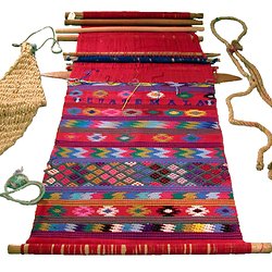 The Maya people of Mexico and Central America form one of the largest indigenous populations in the Americas. With over 4 million people who identify themselves as Maya, this is an extremely diverse group. Some Maya live in the steamy jungles of the Yucatan peninsula, others in the rugged highlands of Guatemala, still others in the country of Belize. The Maya people are well-known for the beauty, quality, and sophistication of their textiles. Women have traditionaaly created textiles in Maya society, and textiles were a significant form of ancient Maya art and religious beliefs. They were considered a prestige good, that would distinguish the commoners from the elite. Maya textiles are pretty easy to identify becuase, they stand out. Characterized by vivid colors of every shade imaginable and covered in geometic and animal patterns, these textiles "stand out" and demand your attention. Besides the basic appearance, one of the keys to understanding any textile is knowing how it is made. Maya textiles are woven, as poosed to being embroidered. The first step is making the threads that will be woven together. Today, Mayan weavers generally use cotton or wool threads, which can be purchased in Maya markets. Different patterns, represent social and religious significance. The following is a brief description of just some of the symbols used in Maya woven textile fabrics. Hope you enjoy my blog, this has really been fun putting this together. Woven Textile Maya Symbol & Their Meaning  BATS - To the Mayan people, were the guardians of the underworld (or caves). The bat is worshipped for its rule over the darkness, and its powerful sign to mark against enemies.  BUTTERFLY - The butterfly with its wings spread, represents freedom. This freedom is sometimes compared with that of the weaver, with her ability to weave wild stories into her textiles. The white butterfly indicates good news, the black butterfly indicates bad news.  THE CROSS - The cross has ties to both Mayan and Christian religion. The four points represent the four directions of the winds, which give life to crops and mankind. The Mayan cross is made from four types of corn: white, yellow, red and black. The cross also signifies: dawn, darkness, water and air.  CORN - Is a particulary important symbol in the Guatemalan textiles. Mayan mythology tells the story of how corn created mankind. White corn was used for the bones, yellow corn was used for the muscles, black cork for the eyes and hair, and red corn for the blood. Corn for this reason is not just considered a source of food, but has ancestral, ceremenoial significance.  THE CUP - Cymbolizes the importance of sharing with others. In modern Guatemala this symbol has become a fusion of Mayan and Christian beliefs. It is sometimes understood as the cup Jesus shared with the disciples during the last supper.  THE DIAMOND - Is one of the most important symbols, and can be found in most of Trama's products. It symbolizes the arms of the weaver, with her body at the bottom, and her textiles at the top.  THE DEER - Is considered a symbol of strong, stable, regal energy by the Maya. They respresent all of the animal kingdom. Deer also encompass the four levels of being, physical, mental, emotional and spiritual. The energies of the deer also signify the binding forces between an individual and their family.  DOLLS - Represent the connection between women, Mother earth, and Ixchel, who is the gooddess of medicine, midwifery, the moon, and weaving.  DOVES - Are the queens of the heavens. These femine birds provide nourishment for the Maya people and renew the fruits of life.  THE EAGLE - The ancient people understood the eagle's calls as a warning that an earthquake or stomr was on its way. In ancient Mayan mythology, one face of the double headed eagle represents good and the other represents evil. The creature itself represents contemplative thought when focused upon, this symbol assists in accessing inner wisdom and facilitiates focus.  THE FLOWER - Motifs used in weaving are usually the native flowers of Guatemala like: roses, pansies, gladioli, and cactus flowers. All of these flowers bloom abundantly throughout the year. The Mayans view flowers as symbols of life and fertility.  THE INUP - Is the Tree of Life, which represents the life of man, birth growth, reproduction and death. It also indicates love as shown in the union between the two people who make up the two parts of the tree. The fruits represent their offsprings. Many sacred rites are performed under the branches of these trees.  MAYAN GODS - Are frequently depicted with jaguar attributes. The jaguar is said to have the ability to cross between worlds, as represented by daytime and nightime. The world of the living and the earth are associated with the day, while the spirit world and the ancestors are associated with the night.  THE LION - Is often woven by young women to deomonstrate a desire to be courted. As the king of the jungle, the lion symbol is a keeper of goods, wealth, and good luck. Sometiems the lion is read as a representative of anger, and is therefore never used in huipils that are worn during happy events.  THE OWL - In Mayan mythology, the owl is a symbol of death and destruction. These nocturnal birds of prey are the mysterious messengers of dark powers. For the Kekchi people, the owl's hoot is an omen of death.  THE PITCHER - Symbolizes the head of a woman from which her wonderful ideas for patterns and color combinations in textiles are poured.  THE QUETZAL - Is the national bird of Guatemala, and one of the most important textile symbols, often present in traditional cltohing, in a number of modern Mayan dialects, the name means "treausred" or "sacred". Legend has it that long ago, the Quetzal would sing beautifully, but has been silent since the Spanish conquest.  THE ROOSTER - Like the turkey is associated with marriage. In some Mayan communities, proposals are accompanied by the groom's family presenting the potential bride's family with between one and three roosters, depending on how they regard their prospective daughter-in-law. Those who received three roosters can feel proud that the mother-in-law is please with the union.  THE SERPENT - Appears frequently in Mayan textiles as a representative of the representing god Gucumatx, the creator of the world. This zigzag design can also signify mountains, which provide clean air and protection from sickness.  THE SUN - Represents the radiant energy that contributes to the motion of the universe. It's also symbolic of the god of corn, to whom the Maya pray to ensure a good harvest.  THE TURKEYS - Often tell the stories of weddings. The turkey represents a propsal. Once a Mayan couple are engaged, the groom's family will spend the next two years fattening up a turkey until the day of the wedding. The groom then presents the dead turkey tot he parents of the soon-to-be-bride. If the groom is rich enough, he will also give the bride's family bread and money. Kekchi Mayan's In Belize Not much is known about the lives and history of the Kekchi (pronounced Qʼeqchiʼ) people prior to being conquered by Spanish conquistadors, however, it is known that they were a Maya group located in the central highlands and northern lowlands of Guatemala. The Kekchi Maya are originally from the Verapaz region of Guatemala. Their land was formally known as Tezulutlan or “the land of war" and the Kekchi people were ruled by a king who had his own laws and government. When the Spanish began their conquest the Kekchiʼ were hard to control due to being a dispersed population. During the nineteenth century plantation agriculture was a big part of the Kekchi people's lives. This led to the seizure of the Kekchi communal land by plantations and the services of the Kekchi people by the government. By 1877, all communal landownership was abolished and this forced some of the Kekchi people to move to Belize. Many began migrating to Belize in the later years of the 1800's. The Kekchi settled in Belize around the lowland areas, along rivers and streams, forming small isolated villages (over 30 communities in all), throughout the Toledo District of Belize. The Kekchi people are the most populous Mayan group found in Belize. Because of their isolation, the Kekchi have become the most self reliant ethnic group found in Belize. They are a peaceful people, known for their cooperative practices in farming and cultural development. In time, the Kekchi Mayan mixed with the Mopan Mayan through marriages. Today we see very little difference between the Kechi and the Mopan Mayan groups. In Guatemala, they number just over half a million. In Toledo District of Belize alone, they make up (about 5 percent), of the Belize population according to the 2000 census. 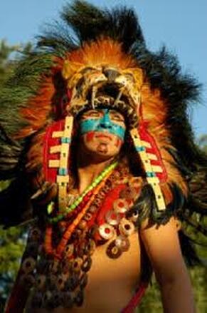 Kekchi Indians - Northern America, is not the only country that took land away from the native Indians. The history of the Kekchi Indian people (in Belize), dates between 1870's and 1880's. This was the time when large numbers of Kekchi Indians (and their families), escaped from Guatemala to Belize. Guatemalan dictator Justo Rufino Barrios made the export of coffee the backbone of his government in the 1870s. Barrios expropriated land belonging to the Catholic hierarchy, as well as communal lands held by Mayans (by 1877), Barrios had virtually eliminated communal ownership of land in Guatemala. By 1880, coffee accounted for 90% of Guatemala's exports. Many of the Kekchi Indian people fled Guatemala, as the government took away their land. They either stayed & were forced to become slave labor for coffee plantations, or they fled to Belize. The Kekchi you see living in Belize today, are descendants from the families who chose to flee Guatemala to Belize. These families chose not to become part of the forced slave work force for the coffee plantations. Today you find the majority of the Kekchi Mayan people, living in the Toledo District (the southern part) of Belize. 12 Interesting Facts about Sea Stars
1. Sea Stars Are Not Fish - Although sea stars live underwater and are commonly called "starfish," they are not true fish. They do not have gills, scales, or fins like fish do. Sea stars also move quite differently from fish. While fish propel themselves with their tails, sea stars have tiny tube feet to help them move along. Because they are not classified as fish, scientists prefer to call starfish "sea stars." 2. There Are Thousands of Sea Star Species - There are about 2,000 species of sea stars. Some live in the intertidal zone, while others live in the deep water of the ocean. While many species live in tropical areas, sea stars can also be found in cold areas—even the polar regions. 3. Sea Stars Are Echinoderms - Sea stars belong to the phylum Echinodermata. That means they are related to sand dollars, sea urchins, sea cucumbers, and sea lilies. Many sea stars have five-point radial symmetry because their body has five sections. This means that they do not have an obvious left and right half, only a top side and a bottom side. Echinoderms also usually have spines, which are less pronounced in sea stars than they are in other organisms, such as sea urchins. 4. Sea Stars Can Regenerate Arms - Amazingly, sea stars can regenerate lost arms, which is useful if the sea star is injured by a predator. It can lose an arm, escape, and grow a new arm later. Sea stars house most of their vital organs in their arms. This means that some species can even regenerate an entirely new sea star from just one arm and a portion of the star's central disc. It won't happen too quickly, though. It takes about a year for an arm to grow back. 5. Not All Sea Stars Have Five Arms - While many people are most familiar with the five-armed species of sea stars, not all sea stars have just five arms. Some species have many more, such as the sun star, which can have up to 40 arms. 6. Sea Stars Do Not Have Blood - Instead of blood, sea stars have a circulatory system made up primarily of sea water. Seawater is pumped into the animal's water vascular system through its sieve plate. This is a sort of trap door called a madreporite, which is often visible as a light-colored spot on the top of the starfish. From the madreporite, the sea water moves into the sea star's tube feet, causing the arm to extend. Muscles within the tube feet are used to retract the limb. 7. Sea Stars Are Protected by Armor - Depending on the species, a sea star's skin may feel leathery or slightly prickly. Sea stars have a tough covering on their upper side, which is made up of plates of calcium carbonate with tiny spines on their surface. A sea star's spines are used for protection from predators, which include birds, fish, and sea otters. One very spiny sea star is the aptly named crown-of-thorns starfish. 8. Sea Stars Have Eyes - Many people are surprised to learn that starfish have eyes. It's true. The eyes are there—just not in the place you would expect. Sea stars have an eye spot at the end of each arm. This means that a five-armed sea star has five eyes, while the 40-armed sun star has 40 eyes. Each sea star eye is very simple and looks like a red spot. It doesn't see much detail but it can sense light and dark, which is just enough for the environments the animals live in. 9. Sea Stars Move Using - Their Tube Feet Sea stars move using hundreds of tube feet, which are located on their underside. The tube feet are filled with sea water, which the sea star brings in through the madreporite on its top side. Sea stars can move quicker than you might expect. If you get a chance, visit a tide pool or aquarium and take a moment to watch a sea star moving around. It is one of the most amazing sights in the ocean. Tube feet also help the sea star hold its prey, including clams and mussels. 10. All True Starfish Are in the Class Asteroidea - Starfish belong to the animal class Asteroidea. These echinoderms all have several arms arranged around a central disk. Asteroidea is the classification for "true stars." These animals are in a separate class from brittle stars and basket stars, which have a more defined separation between their arms and their central disk. 11. Sea Stars Have Two Ways to Reproduce - Male and female sea stars are hard to tell apart because they look identical. While many animal species reproduce using only one method, sea stars are a little different. Sea stars can reproduce sexually. They do this by releasing sperm and eggs (called gametes) into the water. The sperm fertilizes the gametes and produces swimming larvae, which eventually settle on the ocean floor, growing into adult sea stars. Sea stars can also reproduce asexually through regeneration, which is what happens when the animals lose an arm. 12. Sea Stars Eat With Their Stomachs - Inside-Out Sea stars prey on bivalves like mussels and clams, as well as small fish, snails, and barnacles. If you've ever tried to pry the shell of a clam or mussel open, you know how difficult it is. However, sea stars have a unique way of eating these creatures. A sea star's mouth is on its underside. When it catches its food, the sea star will wrap its arms around the animal's shell and pull it open just slightly. Then it does something amazing. The sea star pushes its stomach through its mouth and into the bivalve's shell. It then digests the animal and slides its stomach back into its own body. This unique feeding mechanism allows the sea star to eat larger prey than it would otherwise be able to fit into its tiny mouth. Here's an Interesting Fact about Starfish or Sea Stars - They have hundreds of tiny projections known as tube feet on the underside of their body. The starfish actually has two stomachs. The cardiac stomach eats the food outside the starfish's body. When the cardiac stomach comes back into the body, the food in it is transferred to the pyloric stomach. 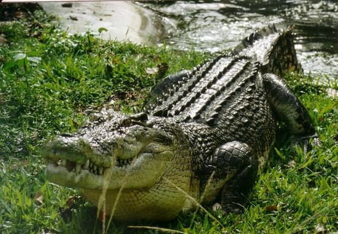 25 INTERESTING FACTS ABOUT CROCODILES 1. Crocodiles can reach (5) feet (1.5 meters) in length in just one year. 2. During mating season, crocodiles display increased aggression. 3. An adult crocodile has 64 teeth that are meant to grasp and crush, not chew. They swallow stones that grind food inside their stomachs, and also act as ballast. 4. Their infant mortality rate is very high. 95% of crocodile offspring are eaten in the first year after birth, by other predators. 5. Crocodile skin is considered one of the finest and is treasured for its durability and softness. It's a sign of status in tribal societies. 6. Some tribes worship the crocodile. This is true of the tribe in New Guinea (where they cut themselves to look like the skin of a crocodile), and it's true of the ancient Mayan people of Belize. 7. They are the biggest reptiles on earth. Saltwater crocodiles are the biggest reptiles in the world. They can grow up to 20 feet in length and can weigh more than a ton. 8. There is also a species called "Dwarf Crocodiles". The smallest crocodile is the dwarf crocodile (measuring 4.9 to 6.2 feet) in length. 9. Crocodiles live all over the globe, except for Europe. 10. Crocodiles are closely related to dinosaurs and birds. 11. Crocodiles really do produce tears. This is because, while they are eating, they swallow too much air, which gets in touch with their lachrymal glands (the glands that produce tears) and forces tears to flow. But it's not actually crying, and crocodiles do not weep when they eat their prey. 12. Crocodiles can keep their jaw open under water. This because there is a valve at the back of their throats, allowing them to open their jaw underwater. 13. They have an average lifespan of 30-40 years, but in the case of large species, they can live on an average of 60-70 years. 14. Their ancestors were much bigger. While this is true, crocodiles are very closely related to dinosaurs. The prehistoric crocodiles were much bigger than today's counterpart. 15. Saltwater crocodiles have the strongest bite. A saltwater crocodile can slam his jaw shut using 3,700 pounds per square inch of pressure. To give you a comparison, a lion can bite with the force of 1,314.7 pounds per square inch of pressure. Despite this enormous bite force, their muscles to open the jaw are extremely small and weak, that is why a human can use their hands to keep a crocodile's mouth closed. 16. Crocodiles have good night vision. Their night vision is very good and they are mostly nocturnal hunters. 17. The crocodile heart is very sophisticated. Of all animals in the animal kingdom, the crocodiles has the most sophisticated heart. It can actively change the destination of blood that flows through it depending on requirements. 18. Crocodiles carry their hatchlings in their mouth. Crocodiles carry their babies to the water in their mouth. Baby crocodiles can make noises from inside their eggs before they hatch. The mother can hear their voices, then digs up the eggs from the sand, and takes the hatchings to the water. 19. They can find their home from long distances. Crocodiles may possess a homing instinct. Crocodiles when tracked in Australia, were relocated, but returned to their original locations within three weeks (information obtained from tracking devices attached to each one). 20. They are good swimmers. Their top speed swimming is 15 mph. 21. Their feet are webbed. Crocodiles have webbed feet which, which they do not use for swimming. They tuck their feet to the side while swimming and use the power of their tails, which allows them to make fast turns and sudden moves in the water. 22. They are cold-blooded. Like other reptiles, crocodiles are cold-blooded. So, they have a very slow metabolism, which allows them to survive long periods without food. They can survive many months on a single large meal. 23. They cannot sweat. Crocodiles do not have sweat glands and release heat through their mouths. They often sleep with their mouths open. 24. Crocodiles don’t chew their food. Many large crocodilians swallow stones, which may act as ballast to balance their bodies or assist in crushing food, similar to grit ingested by birds. 25. Crocodiles are amphibious. They are amphibious reptiles, spending part of their time in water and part of their time on land. Although the saltwater crocodile and the American crocodile are able to swim out to sea, no living species of crocodilian can be considered truly marine. Common misconceptions about crocodiles - Here are some misconceptions about crocodiles:
 If you enjoy reading about Belize history, then at some point you'll be reading about Blackbeard the pirate. His name was actually Edward Thatch, Jr. (or Edward Teach), an Englishman born in Gloucestershire, England on or about 1680. He died on November 22, 1718 in battle. He was known for being one of the most notorious & famous pirates of all time. He controlled the Caribbean (to include Belize) during the years of 1716-1718. Little is known about his early years. It is very possible, as a young man, he was a passenger (a sailor) working on a slave ship with Captain Benjamin Hornigold (who also later became a pirate). The two of them joined forces and Hornigold, placed Edward Thatch in command. The two of them engaged in numerous acts of piracy together. Pirates (in those days) habitually used fictitious surnames while engaging in piracy, so as not to tarnish the family name back home. This is why we will most likely never know his real name. After Hornigold retired, it is most likely that Thatch took his place. In time, he became a renowned pirate, with the nickname "Blackbeard". This nickname was given him due to his thick black beard and fearsome appearance. He usually wore (6 to 8) guns strapped to his chest. He wore his beard in braids (or pigtails) twisting each braid with a ribbon at the end. He was accustomed to putting fuses (slow burning matches) in his braids and lighting them on fire. They would give off a lingering smoke, that gave the pirate a fearsome appearance, meant to terrify his enemies. In battle, this intimidation was very successful, as his enemies were terrified of him. Blackbeard was not a particularly successful pirate in terms of treasure plundered, nor was he the fierce rouge he is made out to be. During his short time in history (less than two years), he rarely used violence. His motto was, a damaged ship is a useless vessel. An undamaged ship, is a useful vessel. So to minimize the lost due to fighting and gunfire, the pirates sought to overwhelm their victims (not with violence), but by building fear. He allowed some of his captives to escape, to further the stories of terror. In March of 1718, while taking on water at Turneffe Island (off the eastern coast of Belize), he spotted a Jamaican logwood cutting ship named, "The Adventurer". The ship was captured and the captain (David Heriott), was invited to join their piracy (which he accepted). By the autumn of 1717, Blackbeard had established himself as the head of a small fleet. On November 28 of that same year, two of pirates came across the La Concorde (a 200 ton French slave ship with 16 cannons). After claiming the ship as his own, he equipped the ship with 40 cannons (20 on each side), becoming the most feared pirate at sea. The French vessel (La Concorde), was on its third slave trading expedition across the Atlantic with hundreds of Africans on board when it was captured by Blackbeard. Thatch seized the La Concorde, and renamed it "Queen Anne's Revenge". It remained Blackbeard's primary ship until June of 1718, when it was ship wrecked on a sandbar near Beaufort Inlet, North Carolina. Later during the fall of 1717, Blackbeard and his crew claimed many other ships. In fact fifteen (15) ships alone were captured off the coast of New York (USA) in the fall of 1717. Blackbeard died in battle on November 22, 1718. It is believed that he was between 35 to 40 years old at the time of death. Blackbeard was not the most successful pirate ever to sail the seven seas, several other pirates were far more successful than Blackbeard. It is his reputation, which made him notorious and famous. Despite his fearsome reputation, there is no account of him ever murdering or harming anyone he held captive. In fact, most of his captives later became loyal pirates under his command. Researchers have recently discovered (in 1996) what seems to be the wrecked remains of Blackbeard's mighty "Queen Anne's Revenge" off the coast of North Carolina (USA). The discovery has lead to yielding many treasures from that ship, such as: cannons, anchors, musket, barrels, pipe stems, navigational instruments, gold flakes and nuggets, pewter dishware, a broken drinking glass and part of a sword. Today movie producers and fictional script writers, tend to glamorize the life of pirates. But the reality is, life as a pirate was very hard. You were a fugitive, constantly on the run (having to look over your shoulder), and watch your own back. Pirates often lived without some of the basic necessities (running water, hot meals, proper shelter). There were often fights and misunderstandings among them. Many died of sickness, scurvy and dysentery, because they could not get proper medical attention. Pirates were criminals, who stole from the rich to pad their pockets, for selfish gain. Yes, piracy is part of our history, but pirates are hardly role models we want to imitate. Fact #1: Rainforests only cover about 2 percent the total surface area of the Earth, but really about 50 percent of the plants and animals on the earth live in the rainforest. Fact #2: Rainforests are the forests which receive high amount of rainfall. Fact #3: Rainforests can be found in many countries, not just in Central & South America. Fact #4: Rainforests are found on all of the different continents, except for Antarctica because it is far too cold there for the environment to be conducive. Fact #5: Rainforests can be separated into two different types of rainforests (temperate & tropical). Tropical rainforests are the ones that are most commonly found around the world. Fact #6: Rainforests help to regulate the temperatures & weather patterns around the world. Fact #7: Rainforests help to provide us with fresh water. About a fifth of our fresh water can be found in the Amazon Rainforest Basin to be exact. Fact #8: Rainforests help to maintain our supply of drinking water and fresh water, so they are critical in the sustainability of the earth. Fact #9: Rainforests provide about 1/4 of the natural medicines we as humans use. Fact #10: Rainforests provide a diversity of plant and animal life. In fact, within just four square miles of tropical rainforest, you will find 1,500 flowering plant species, 750 types of trees, and many of these plants can be helpful in combating cancer. Fact #11: Rainforests provide about 70% of the plants used for treating cancer. Plants that can only be found in rainforests. Fact #12: Rainforests provide over 2,000 types of plants, used to help aide in cancer treatment because they have anti cancer properties. Fact #13: The Amazon rainforest is the largest tropical rainforest in the world. Fact #14: Less than one percent of the species of plants in the tropical rainforests have actually been analyzed to determine their value in the world of medicine. Fact #15: Rainforests are threatened each and every day, by practices agriculture, ranching, logging and mining. Fact #16: Rainforests make up about 6 million square miles on earth's surface, now due to deforestation, there is less than of this still found in the world. Fact #17: If the rainforests continue to decline in the way that they have been, then about 5-10 percent of the species living inside them, will go extinct every ten years. Fact #18: Rainforests are found in about 90% of the worlds underdeveloped countries around the world. Fact #19: Rainforests are cut down somewhere in the world every second. In fact, we will probably lose over 80,000 football fields worth of rainforest each and every day. Fact #20: Rainforests are home to many different types of animals. Most of them cannot live anywhere else, because they depend on the environment of the rainforest in order to survive. Fact #21: Rainforests help about 90% (or 1.2 billion) people living in poverty worldwide, to meet their basic daily needs. Fact #22: Most of the oxygen supplied in the world, comes from rainforests, even though they are miles away. Fact #23: Rainforest average temperatures, range between 70 and 85° F. Fact #24: Rainforests provide us with timber, coffee, cocoa and many medicinal products, to name a few. Fact #25: Rainforests are constantly being destroyed by multinational logging companies, land owners and developers to make way for more real estate investments. Fact #26: Rainforests are so dense with trees, that it takes about 10 minutes for the rainfall to reach the ground from the canopy. Fact #27: Rainforests found in Australian, provide 80% of the flowers not found anywhere else in the world. Fact #28: Rainforests are lost at a rate of 56,000 square miles each year. Fact #29: Rainforest Insects make up the majority of living creatures found within a rainforest. Fact #30: Rainforests remaining on the earth, are estimated at about 2.6 million square miles. Fact #31: Rainforests that are destroyed each day, are equivalent to 86,400 football fields per day, which is equal to 31 million football fields of rainforest each year. Fact #32: Rainforests provide habitats for a variety of animals, to include: snakes, frogs, birds, insects, cougars, chameleons, turtles, jaguars and many more. Fact #33: Rainforest species are being depletion, at the current rate of 5–10% ever decade. Fact #34: About 57% of rainforests are in developing countries. Fact #35: Rainforests provide about 70% of the plants identified by the U.S. National Cancer Institute (used in the treatment of cancer), can only be found in rainforests. You can see why it's so important to preserve our world's rainforests. You can see how much these rainforests impact the lives of everyone (on this planet), even if you don't live near a rainforest. There are hundreds of other interesting facts about rainforests, though not mentioned above. If you haven't taken the time to educate yourself on rainforests, why not do so now. All it takes, is everyone doing their part, and the world can change. By doing your part, you are setting an excellent example for others to follow. INTERESTING FACTS ABOUT THE BELIZEAN RAINFOREST Here are some interesting facts specifically about the Belize Rainforest: FACT #1 - The Belizean Rainforest is huge! More than half of mainland Belize is covered in rainforest. FACT #2 - The Belize National Flower. There are hundreds of different kinds of trees in the rainforest but also fragile, beautiful flowers like orchids. Did you know that the Black Orchid is the national flower of Belize, and it grows in the Belizean rainforest? FACT #3 - Thousands of Caves. The Belize rainforest is also where you’ll find thousands of caves. Today you can rappel into some of these caves, explore them, see ancient pottery, ceremonial sites, and the remains of skeletons. FACT #4 - Biggest Waterfalls in Central America. The Belize rainforest is also where you will find some of the biggest waterfalls in all of Central America. Thousand Foot Falls, being one of them in the Mayan Mountains. FACT #5 - Mayan Ruins & Lost Cities. The Belize rainforest is also where you'll find many (yet to be discovered), lost cities of the Mayan people. Belize has numerous Mayan sites, where you can see buildings of past civilizations. The ancient Maya people built enormous pyramids, vast palaces, and strange carved stones called stelae right in the middle of the Belize rainforest. There are still many lost cities yet to be found in the Belizean rainforest. Satellite images have revealed many of their locations, lost cities just waiting to be discovered. FACT #6 - Tours & Excursions. Most of the tours & excursions offered in Belize, can be found in the Belizean rainforest. These rainforest adventures, are what attract thousands upon thousands of visitors each year - to this tiny little country in Central America (that I call home). The Inland Blue Hole National Park, is located just off the Hummingbird Highway, 12 miles south of the capital city of Belmopan. It’s literally a 15 minute hike from the parking lot to the (Blue) sinkhole making it very accessible and a popular stop for tours in the area. As you walk down the fairly steep trail towards the sinkhole the first thing you notice is the bright sapphire blue colors piercing through the green foliage. Beams of sunlight penetrate the thick jungle canopy above and reflect off the glass-like surface of the water. This is the Inland Blue Hole, for which the national park is named. It should not be confused with the Great Blue Hole on Lighthouse Reef Atoll which is popular with divers. The sinkhole was formed by the collapse of an underground limestone cave. The pool itself lays at the bottom of a large depression in the jungle; from ground level it drops around 100 feet to the surface of the water, after which the water depth drops 25 feet into a an underground cave system. Fed by a tributary of the Cave Branch River, the underground spring water is cold, crystal clear and invigoratingly refreshing! There is a wide shallow sandy area where you can swim and relax surrounded by shear rock walls, hanging vines and lush jungle. The Blue Hole National Park covers 575 acres of lush jungle to explore. Approximately 200 bird species have been recorded making if popular for bird watching. Wild cats which have been spotted in the park include the Jaguar, Ocelot and Jaguarundi. Other wildlife sightings include the Baird’s Tapir and the Nine-Banded Armadillo. In addition to the Inland Blue Hole, the park also has nature trails and 2 cave systems: Saint Herman’s Cave and Crystal Cave (also called Mountain Cow Cave). St. Herman Cave - The Herman Cave at Blue Hole National Park has unique geological features that can be found within 575 acres of forest rich with wildlife. The main attractions in this park, namely the St. Herman’s Cave and the Blue Hole, are connected by an underground stream. Visitors can walk 200 yards into the cave entrance unguided or can hire a guide to traverse the cave completely, seeing beautiful speleothems and Mayan artifacts. After a guided tour through St. Herman’s Cave, you can float peacefully back to the entrance of the cave on an inner tube. The Blue Hole is a cool and refreshing place for an afternoon swim. It was formed by the collapse of an underground limestone cave. In this case, the river running through the original cavern still flows through the cave system, and forms a sapphire-colored pool at the bottom of the cenote. The depression measures about 100 feet deep and 300 feet in diameter, with the actual Blue Hole at the depression’s base having a depth of about 25 feet. Crystal Cave (aka Mountain Cow Cave) - Is located in the Blue Hole National Park. After a 50 minute hike through the tropical forest to the cave entrance, you will rappel 15 feet into the entrance to the cave. Traverse through the large chambers of the cave, sliding down mud ramps and scrambling along rocks. Your guide will then show you the shimmering formations in the cave, along with artifacts and the skeletal remains. You will witness the remnants of the past while discovering centuries-old fire pits, wall carvings and pottery as well as impressive crystal formations and stalactites and stalagmites. This tour is challenging, but well worth the effort. After exploring the cave, everyone takes a break to enjoy a hearty Belizean lunch followed by a refreshing swim in the cool natural pool known as the Blue Hole. 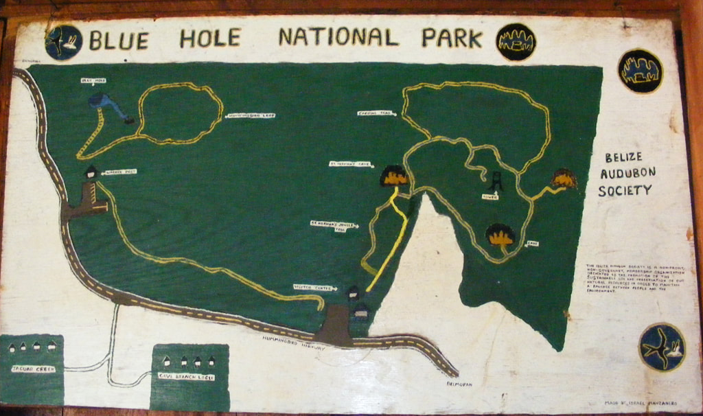 The park has 2 entrances off of the Hummingbird Highway. Just 2 miles north of the Inland Blue Hole entrance you’ll find the main entrance to the park that has the Visitor’s Center, camp site, observation tower and trails to Saint Herman’s Cave and Crystal Cave. The Dusky Ant Bird Trail leads your through the jungle from the visitor’s center to the Inland Blue Hole. The park is so accessible that it’s often combined with day tours to the Belize Zoo or cave tubing on the Caves Branch River System.  360 degree view from the observatory tower at the Blue Hole National Park. |
Is located on the island of Ambergris Caye, directly across from the Belize Barrier Reef, off the mainland coast of Belize. The property is nestled in a cluster of Australian Pine trees, backed to a littoral jungle, and surrounded by tropical gardens. It's about a one minute walk from the property to the beach, and a 10-15 minute drive from the island airstrip to the property.
We offer one bedroom suites (455 s.f.) of living area to include: livingroom, kitchenette, private bathroom and bedroom. We are also about a one minute walk from one of the best restaurants on the island serving (breakfast, lunch & dinner). Within walking distance you can find: (3) blocks is Robyn's BBQ (4) blocks is 2 fruit stands (5) blocks local grocery store IF YOU'RE COMING TO BELIZE TO............... If you're coming to Belize to dive the Blue Hole, descend the shelf walls at Turneffe, snorkel the Barrier Reef, explore Mayan ruins, rappel into a cave, kayak along the river through caves, zip line through jungle tree tops, hike through a cave to see an ancient human skeleton, swim with sharks, listen to Howler Monkey's, hold a boa constrictor, feed a jaguar, horseback ride through the jungle, canoe through a cave, rappel down a waterfall, sail around an island, enjoy cocktails & dinner to a sunset, climb 130' feet to the top of a Mayan ruin, rip up the jungle trails on an ATV, float through a series of caves on a tube, and sip on a rum punch..... then this is the place for you. Belize Budget Suites, offers you clean, affordable, attractive, accommodations, at prices that allow you to do all the things just mentioned. Archives
February 2021
Categories
All

For All Your Home Improvement Needs

For all Your Real Estate Needs
501-226-4400 10 Coconut Dr. San Pedro, Belize Your Ad Could Go Here
|

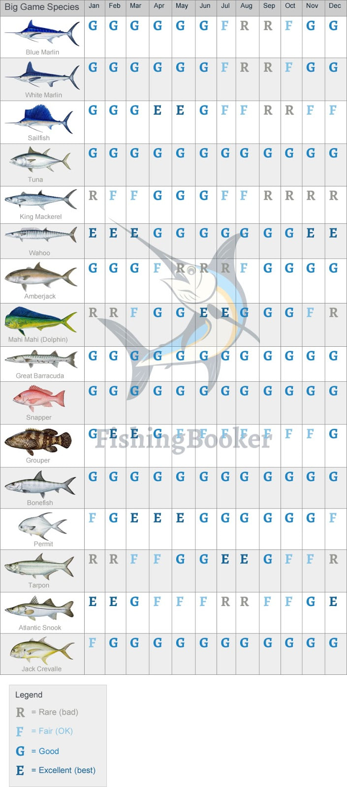
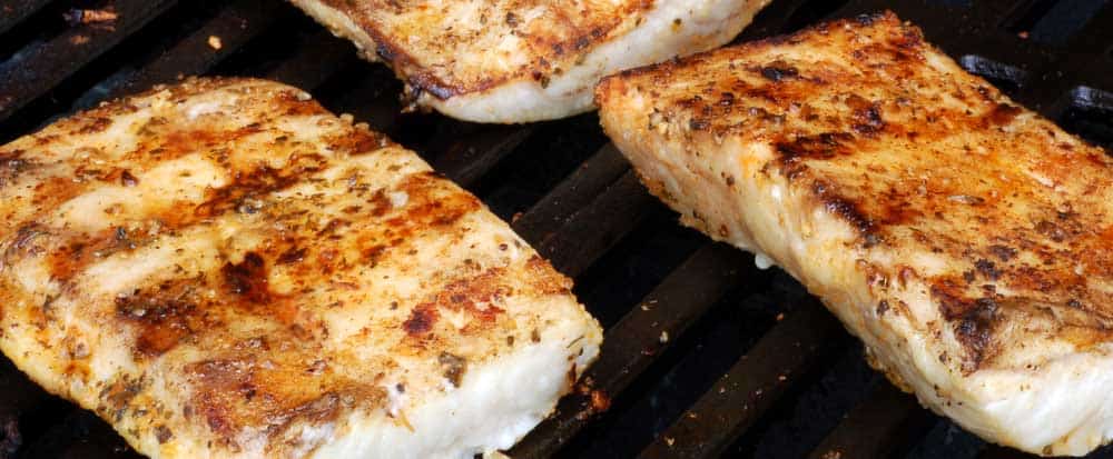


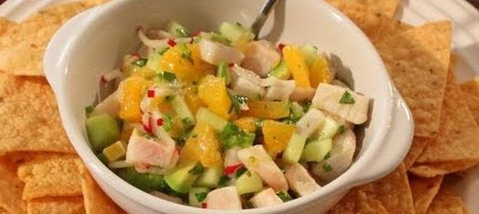

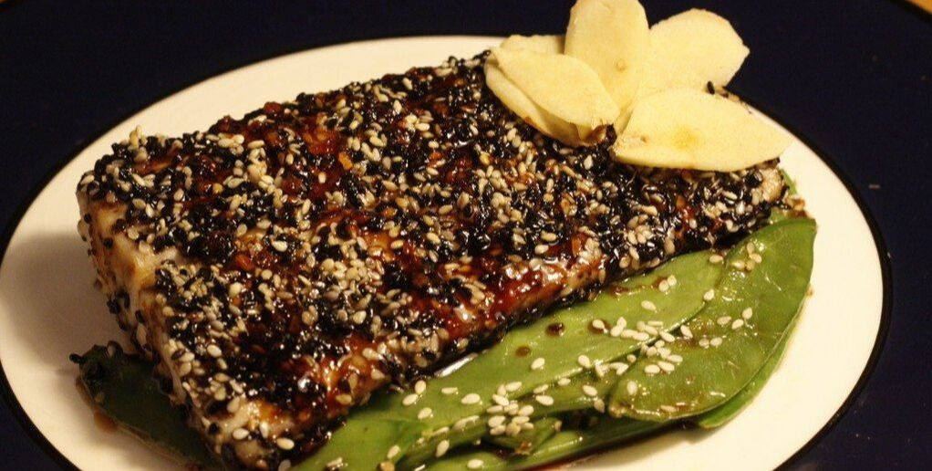
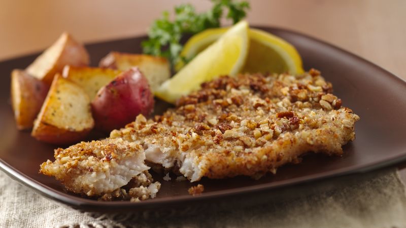
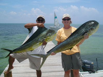
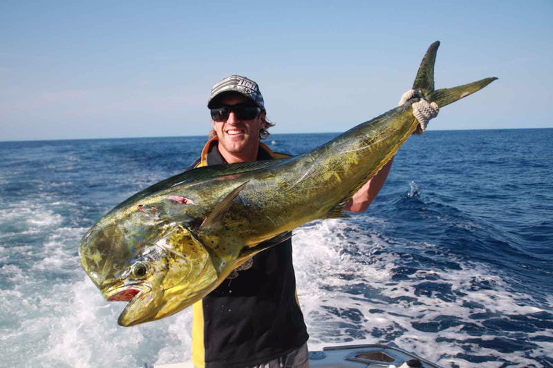
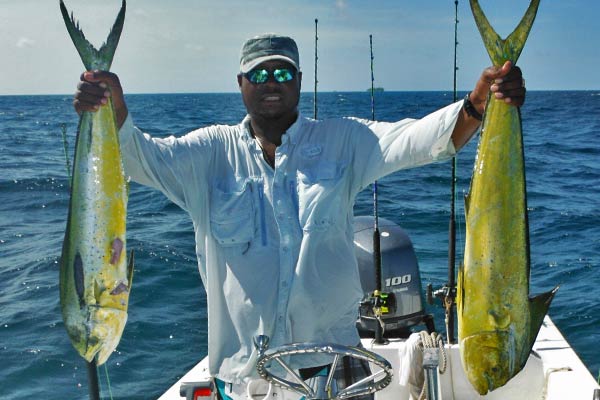
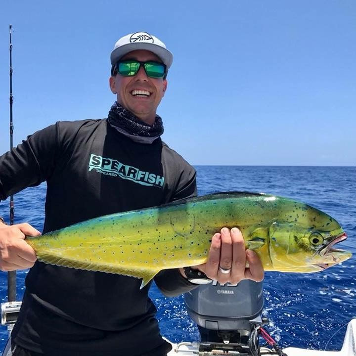
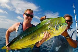
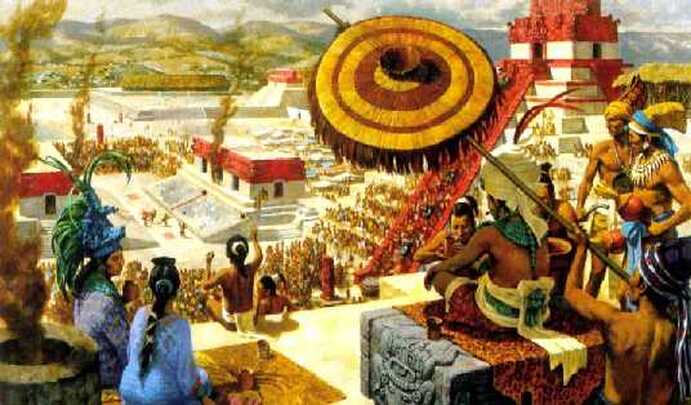
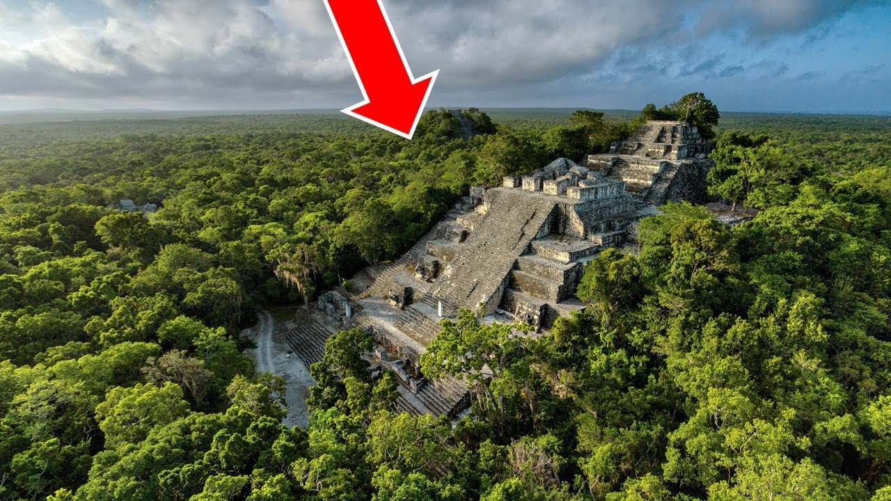
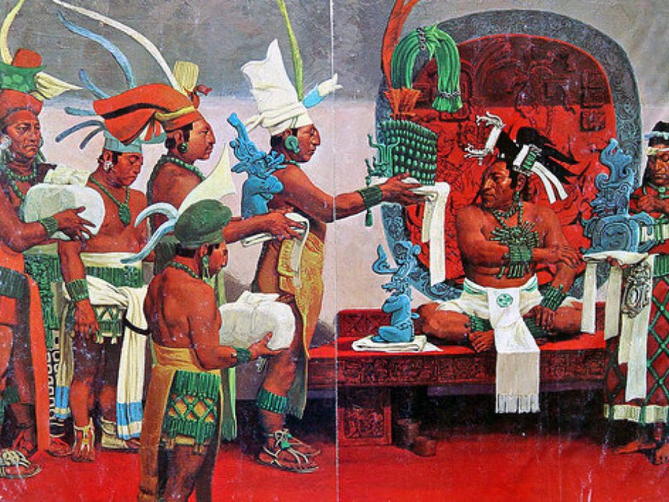
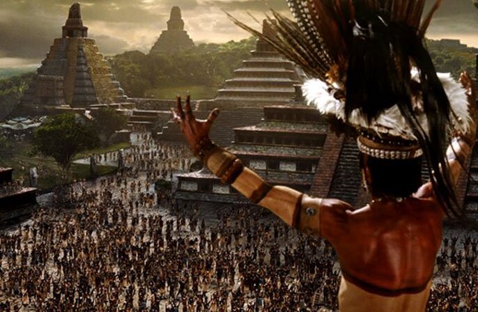
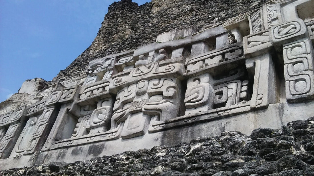
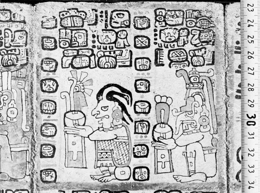
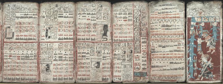

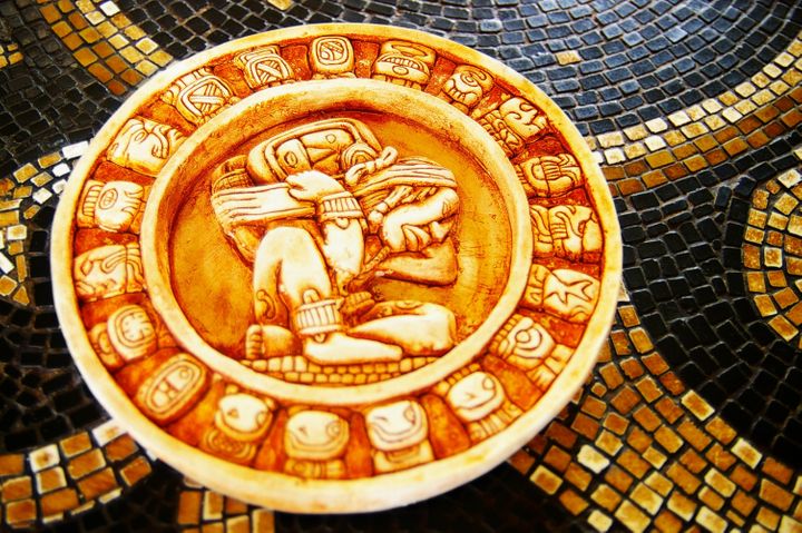

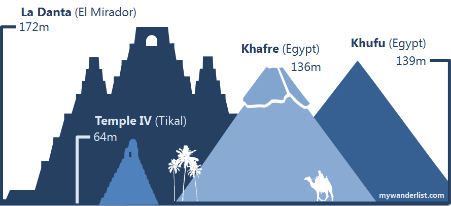

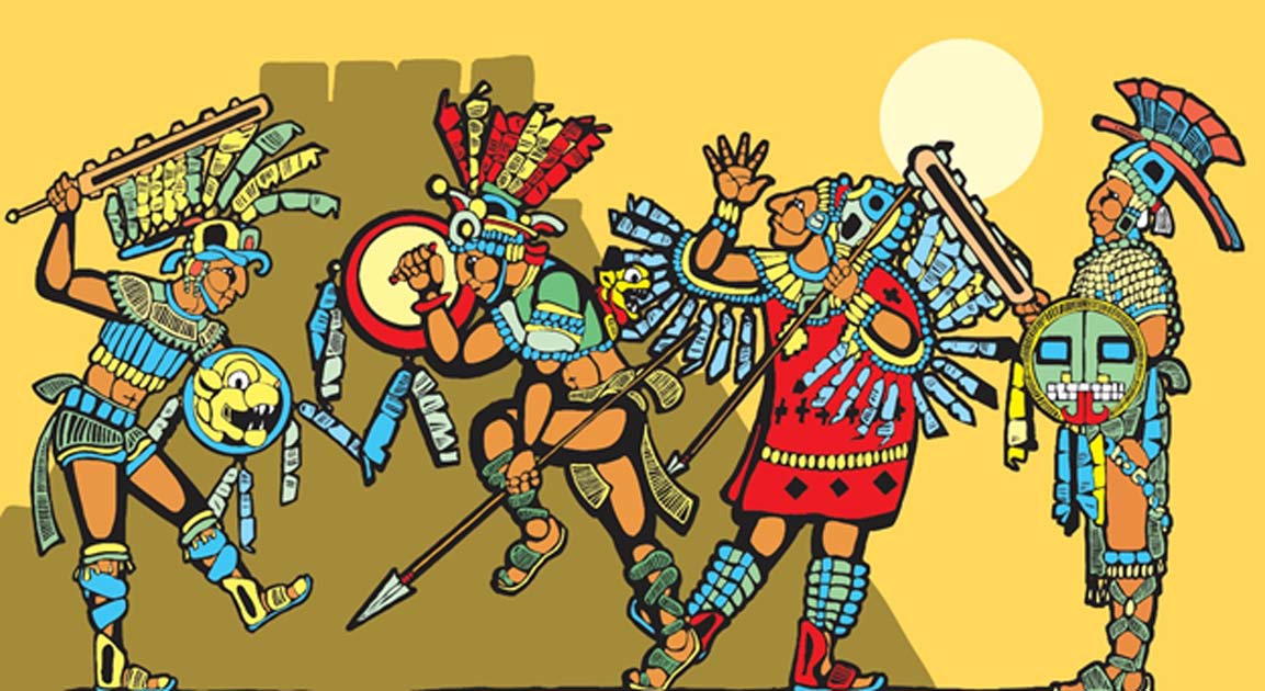

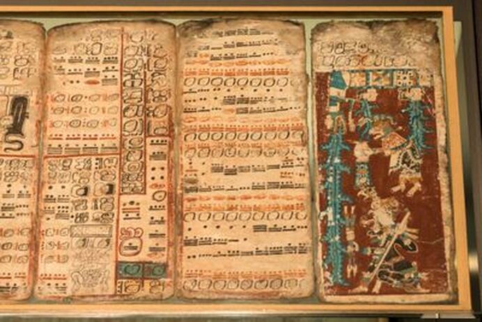
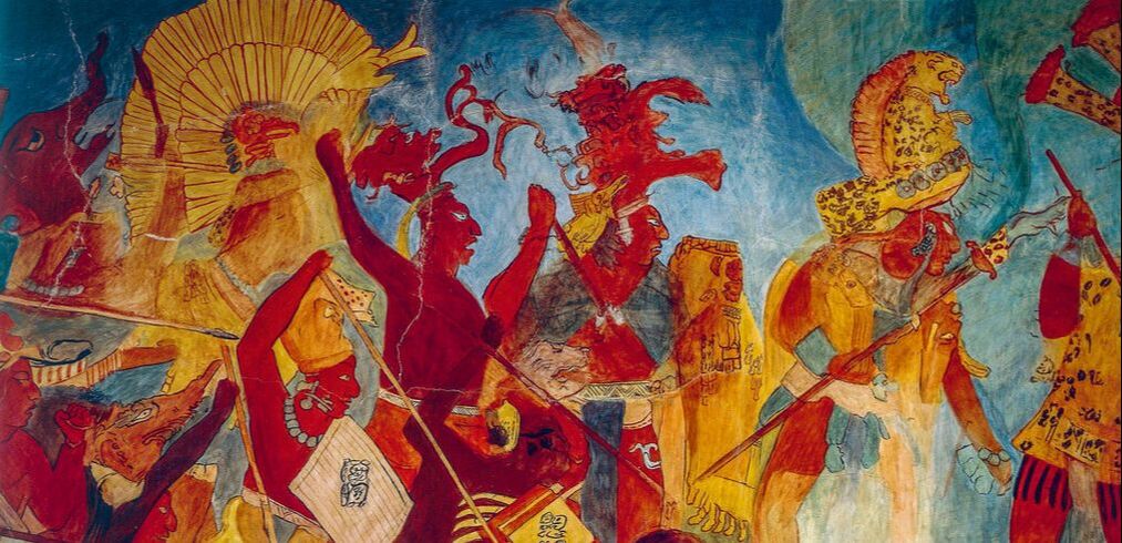
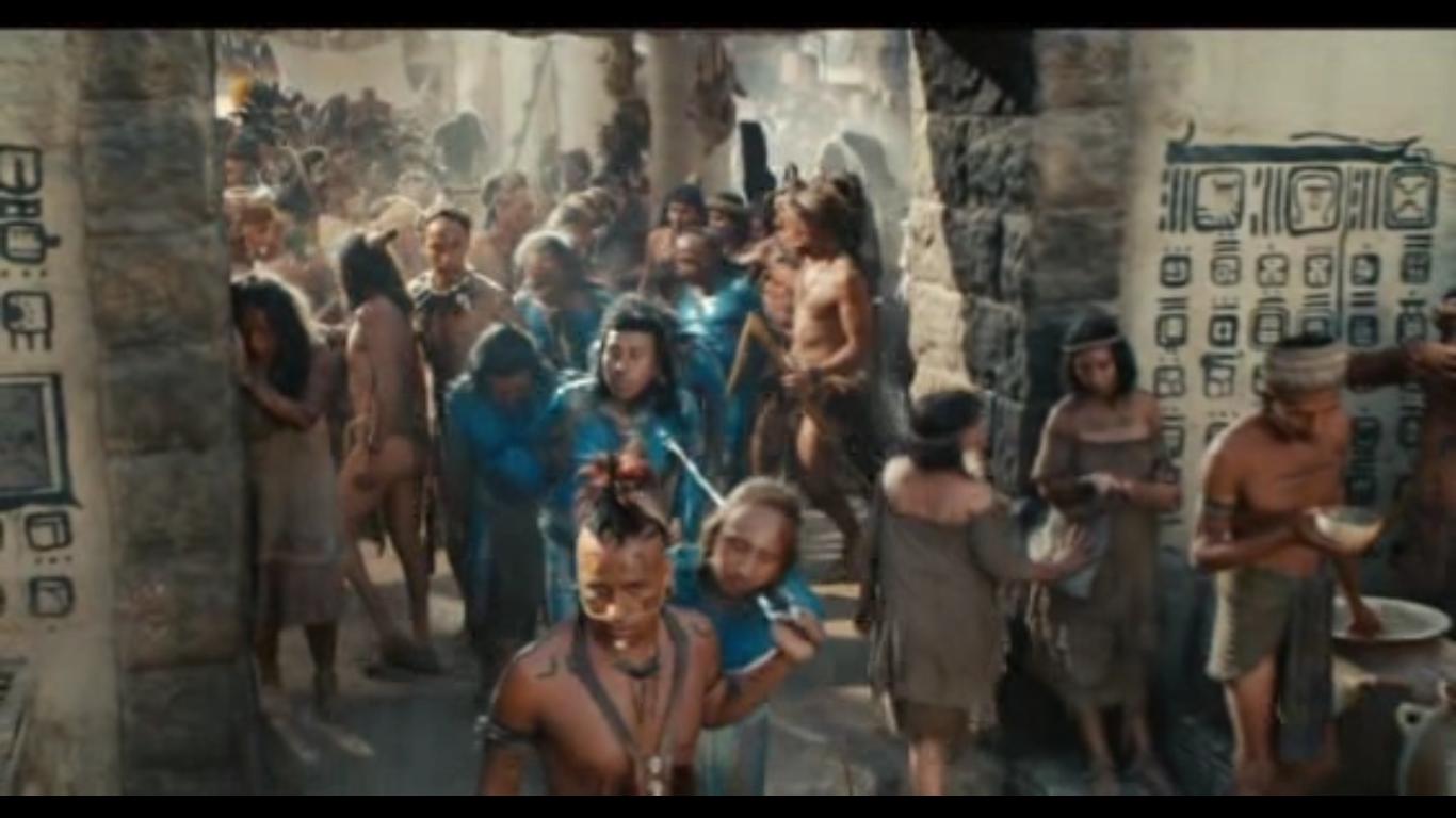
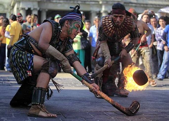
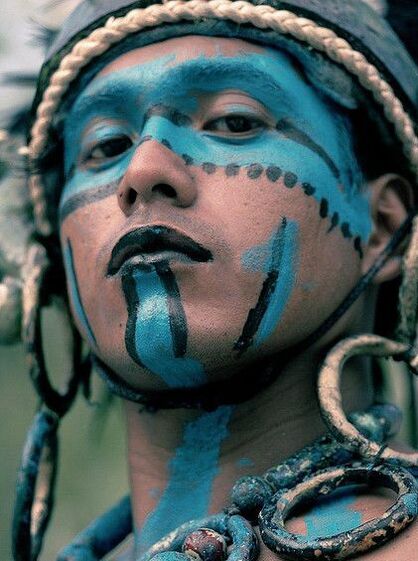
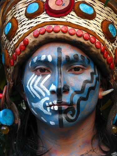
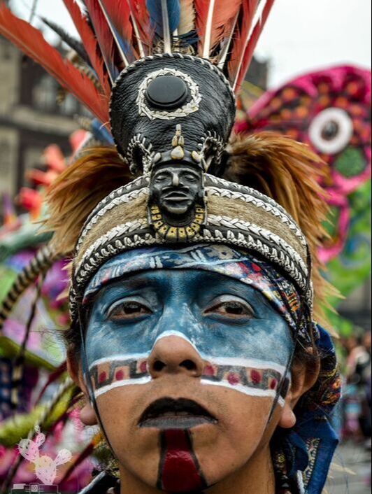
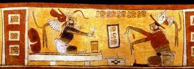
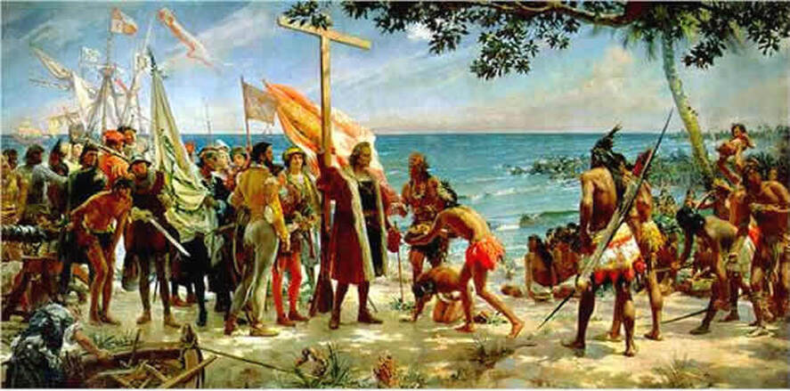

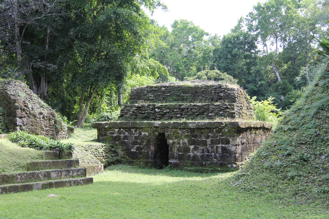
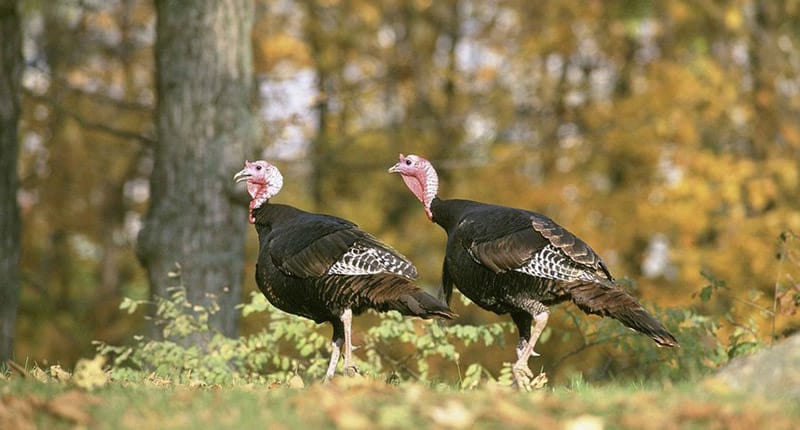
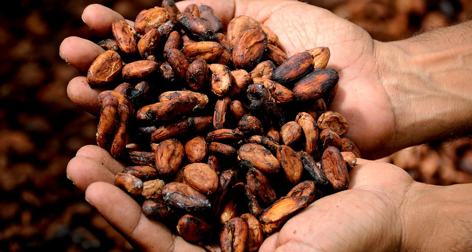
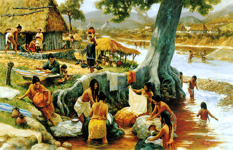
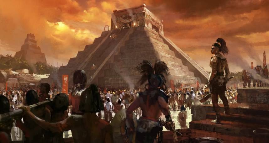
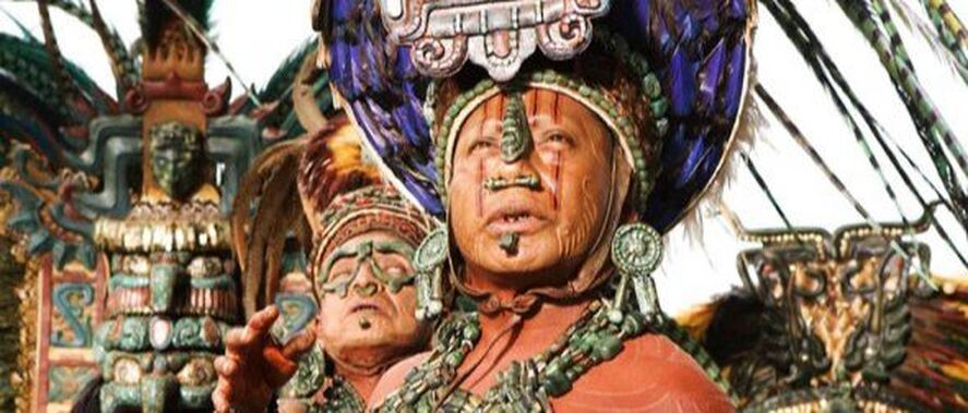
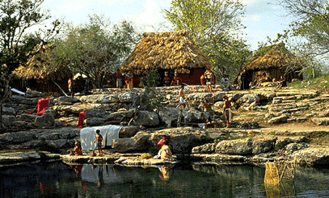
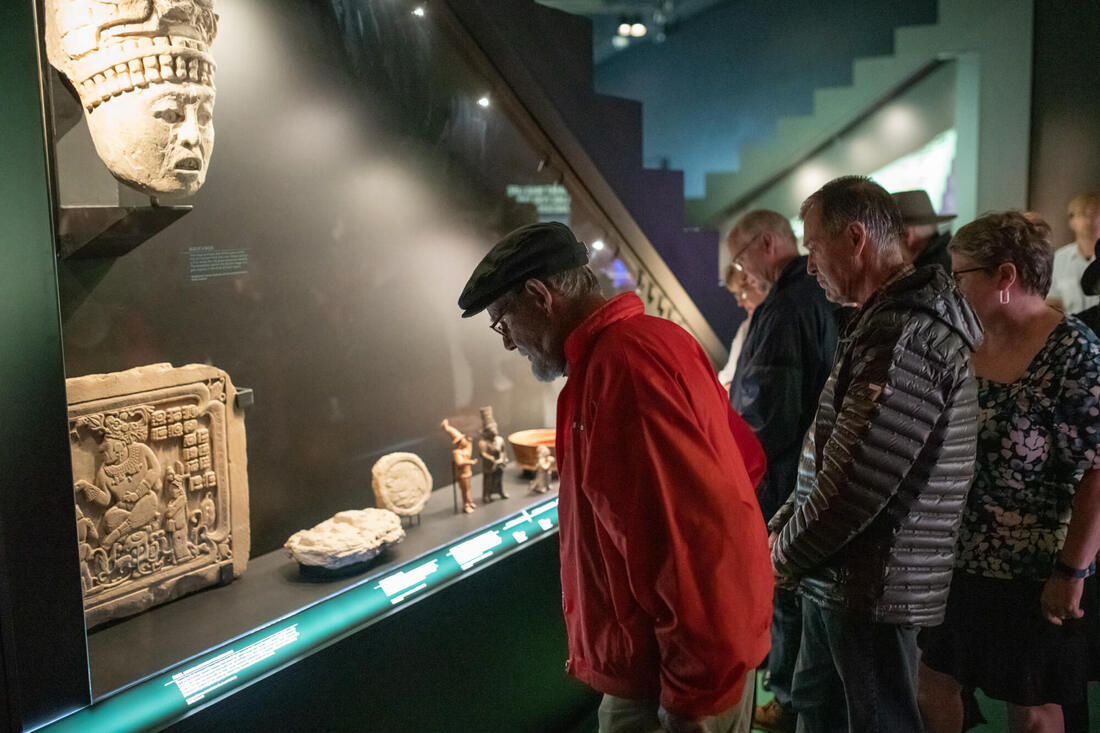
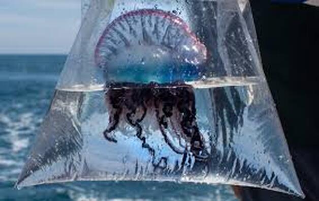
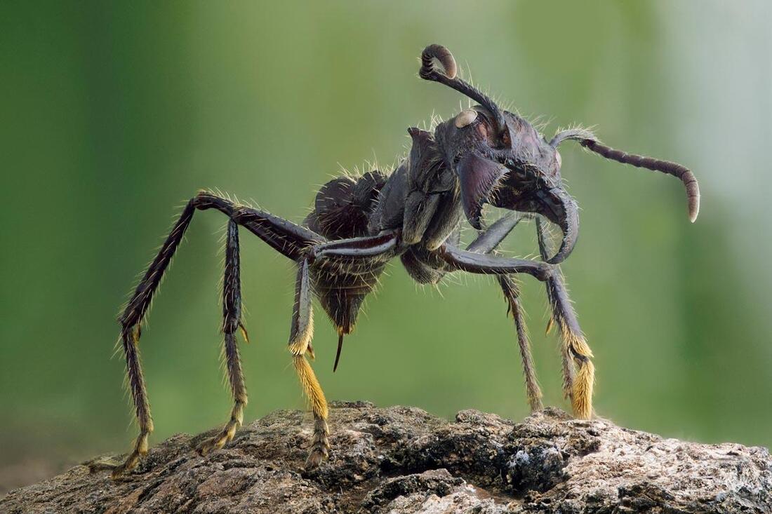
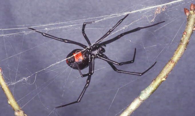
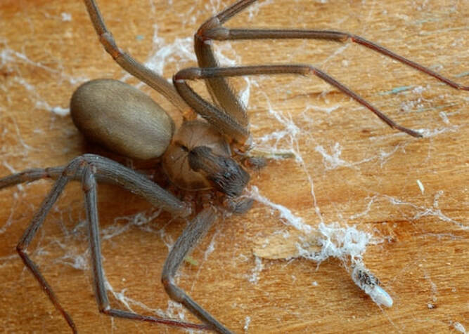


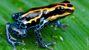
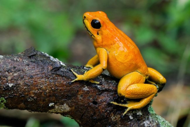
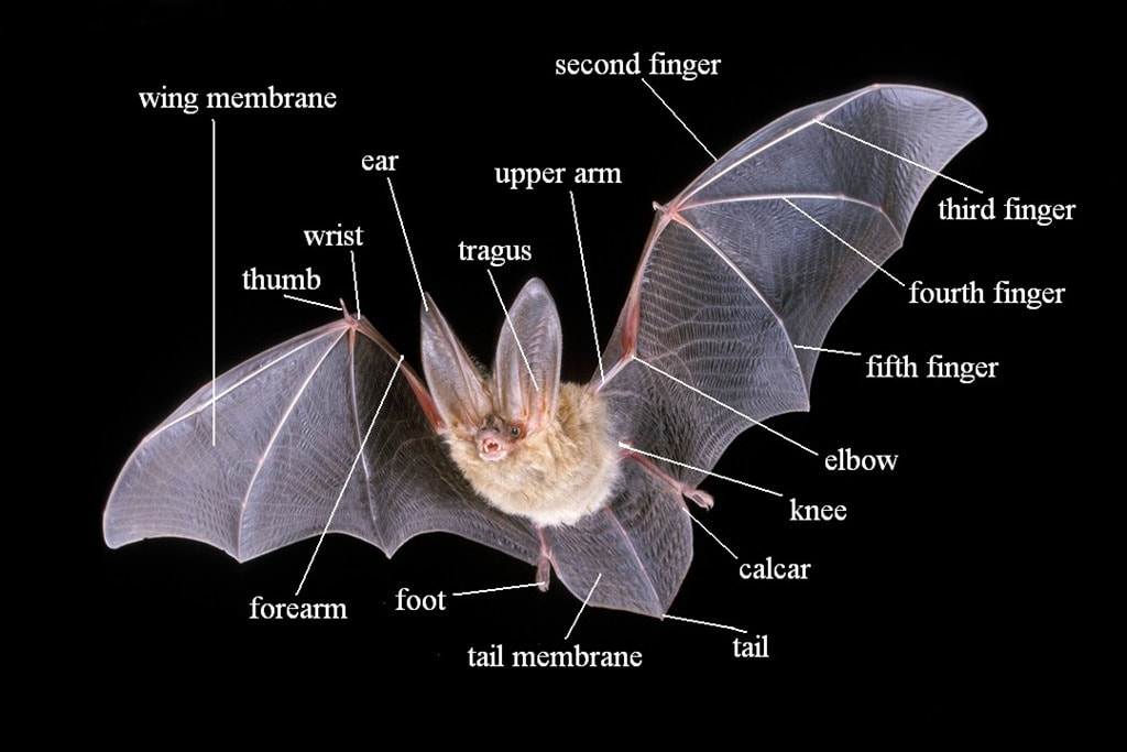
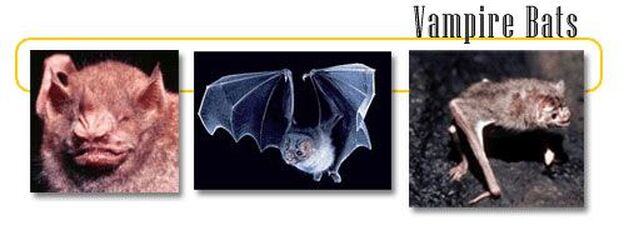
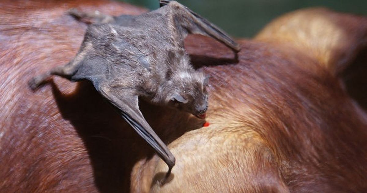
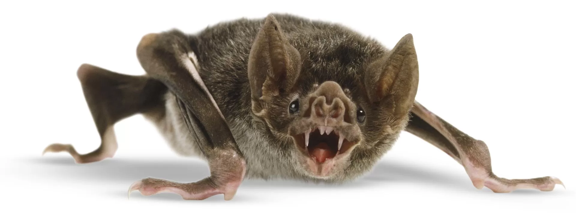
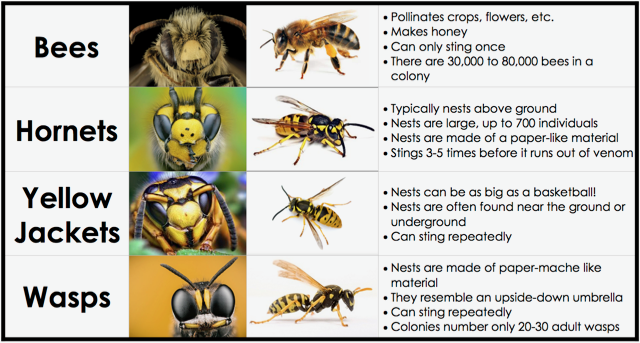
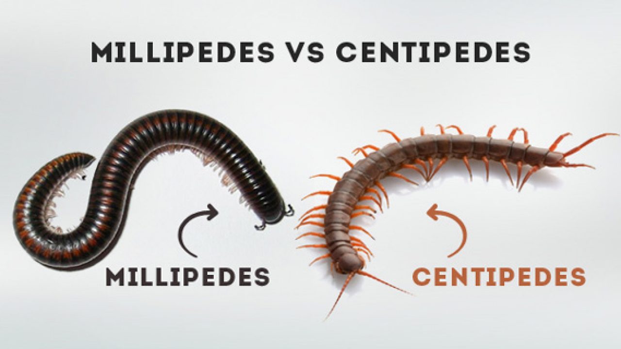
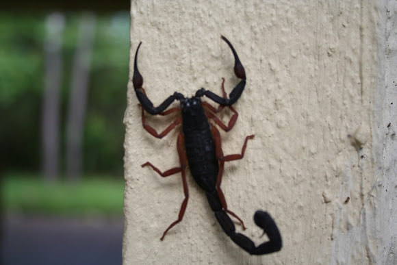
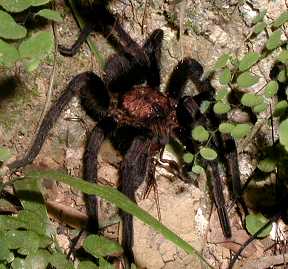
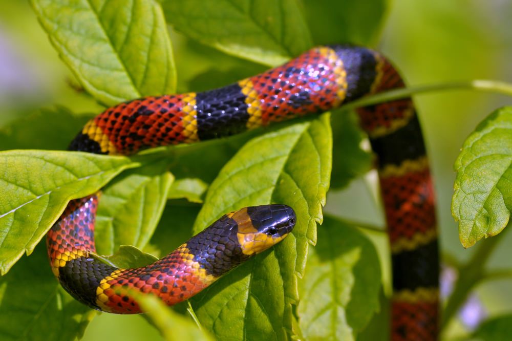
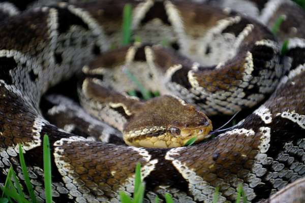
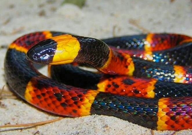
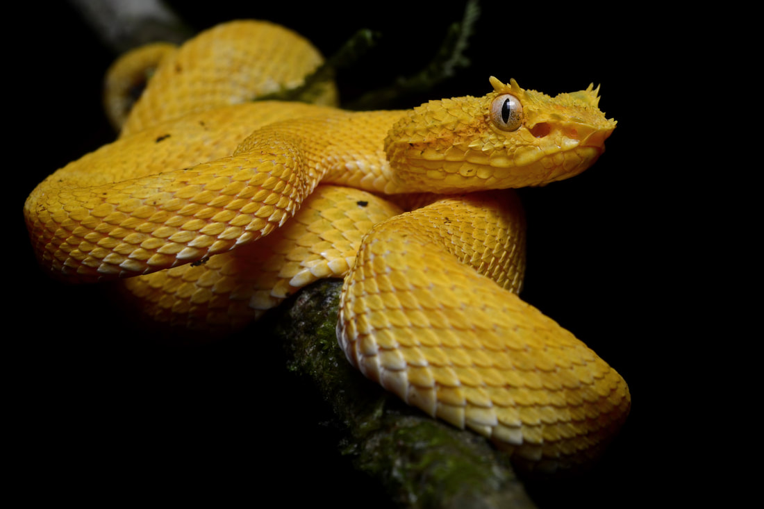
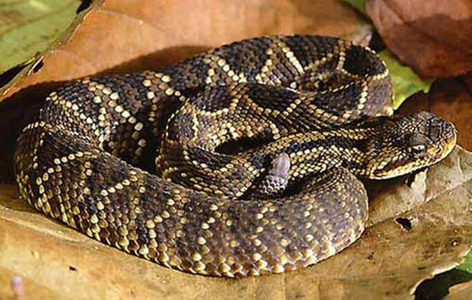
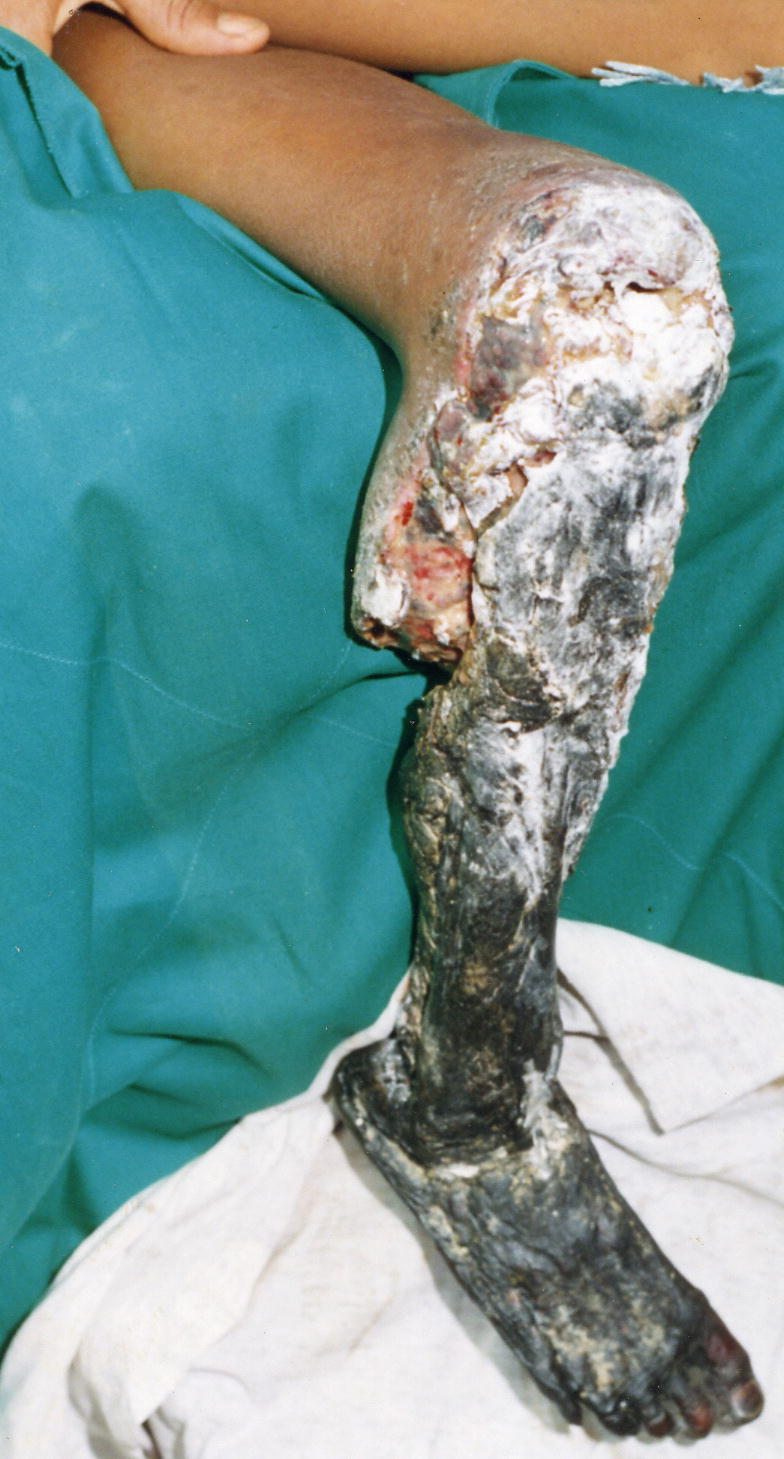
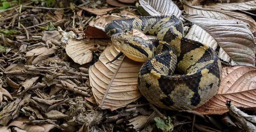
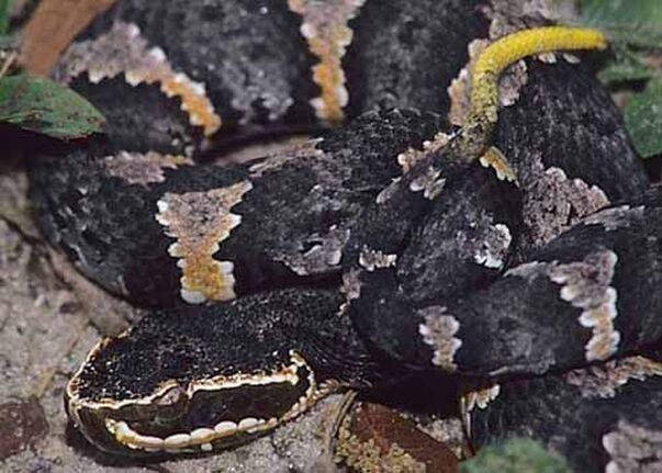
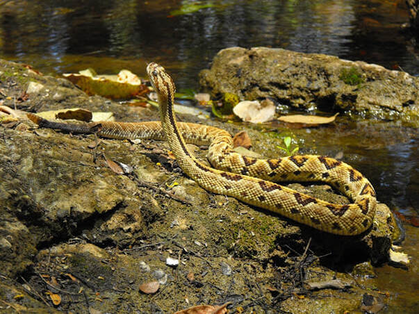
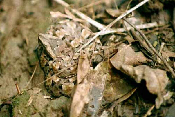

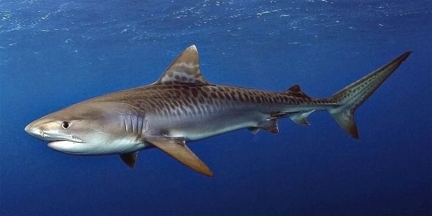
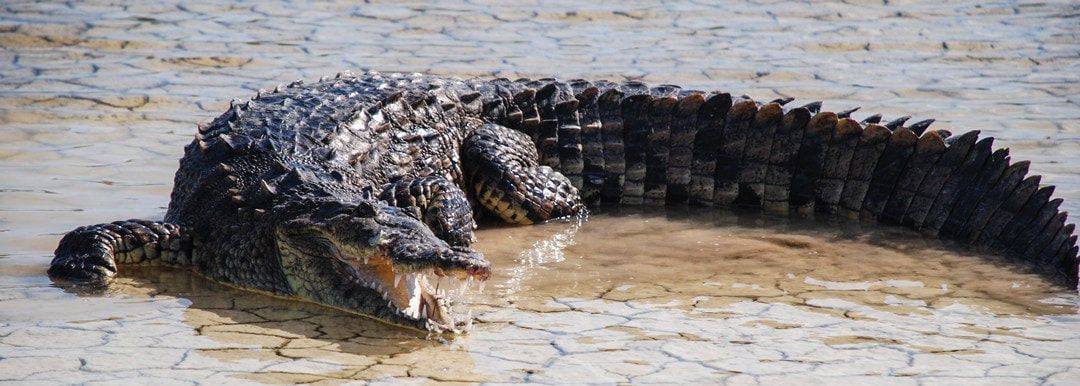
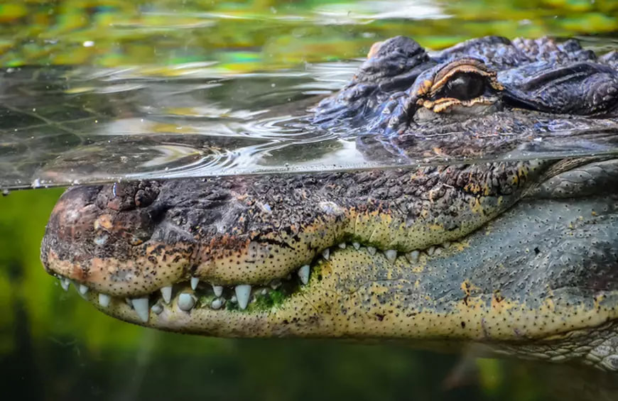

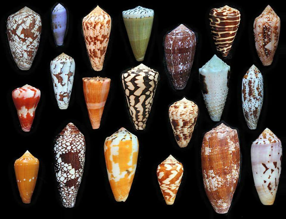
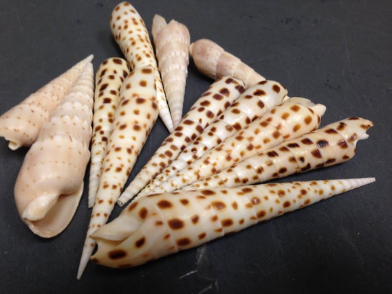
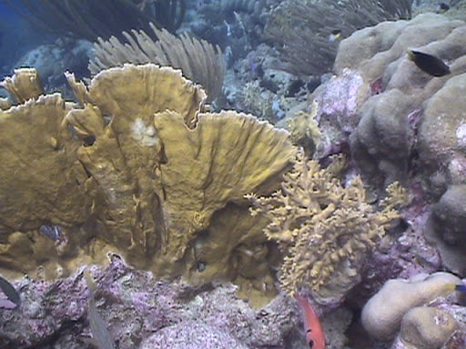
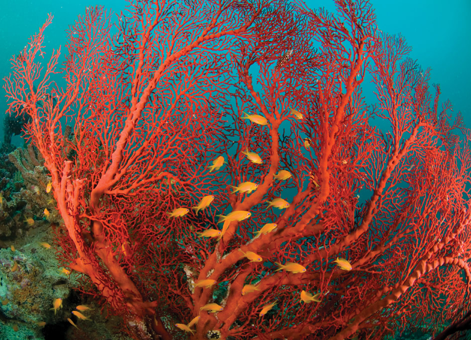
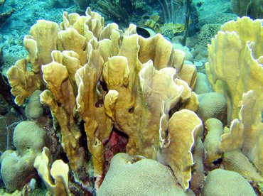
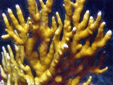
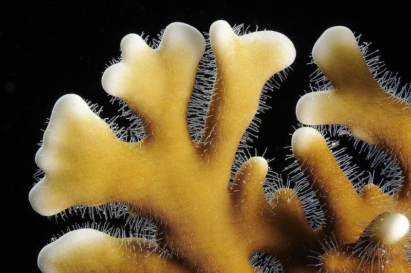
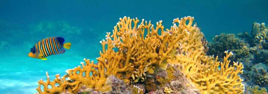


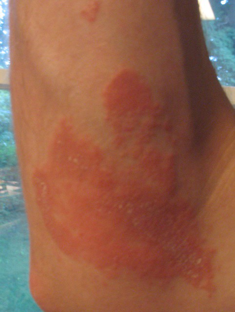
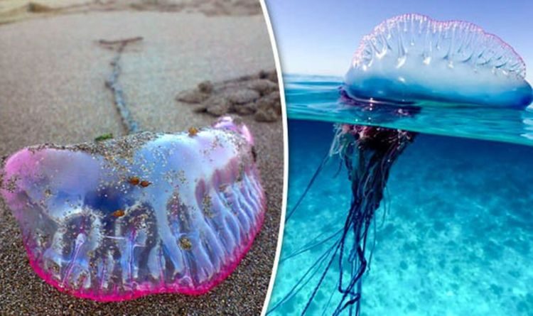
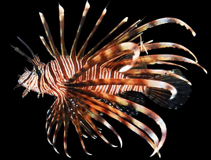
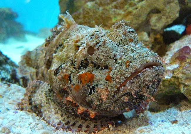
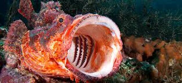
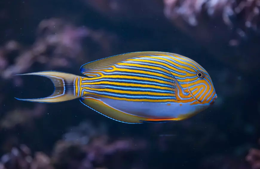
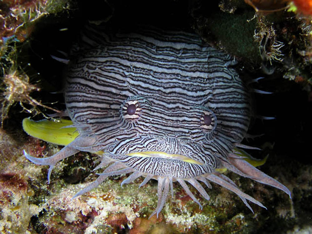
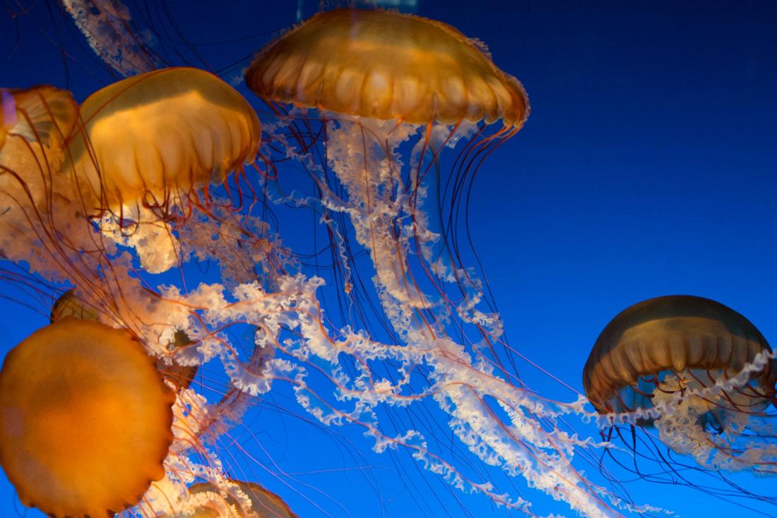
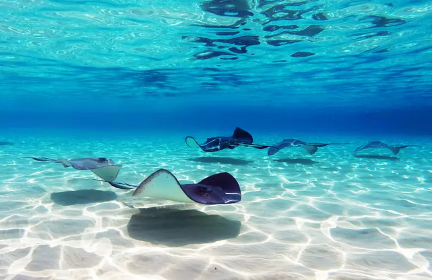
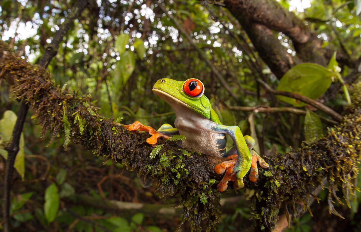

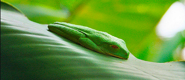
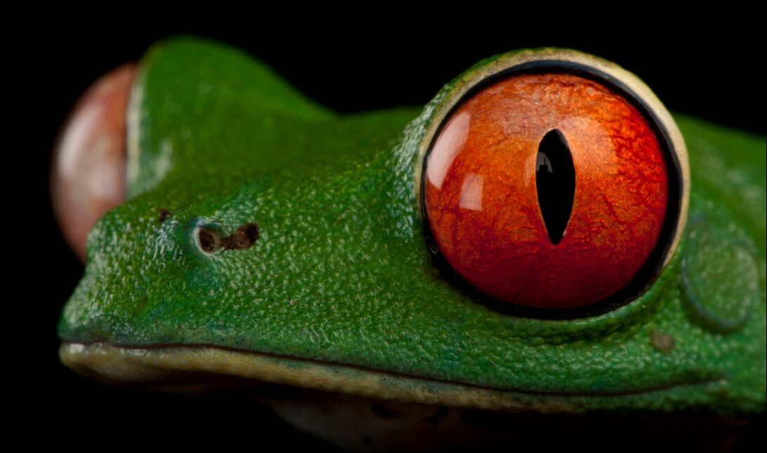
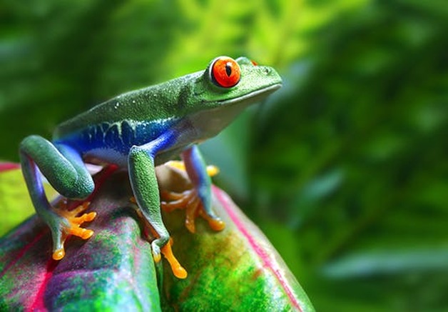
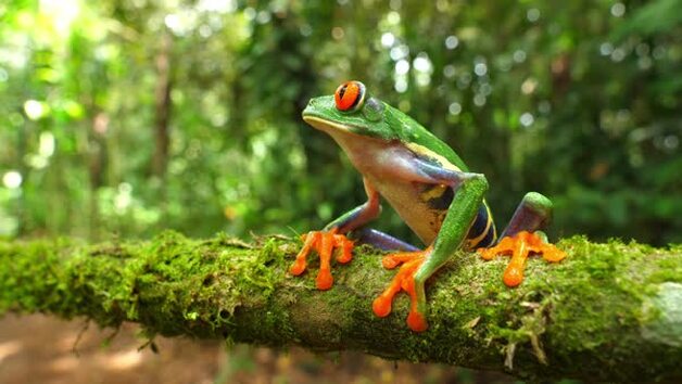
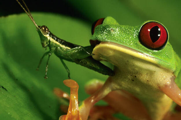
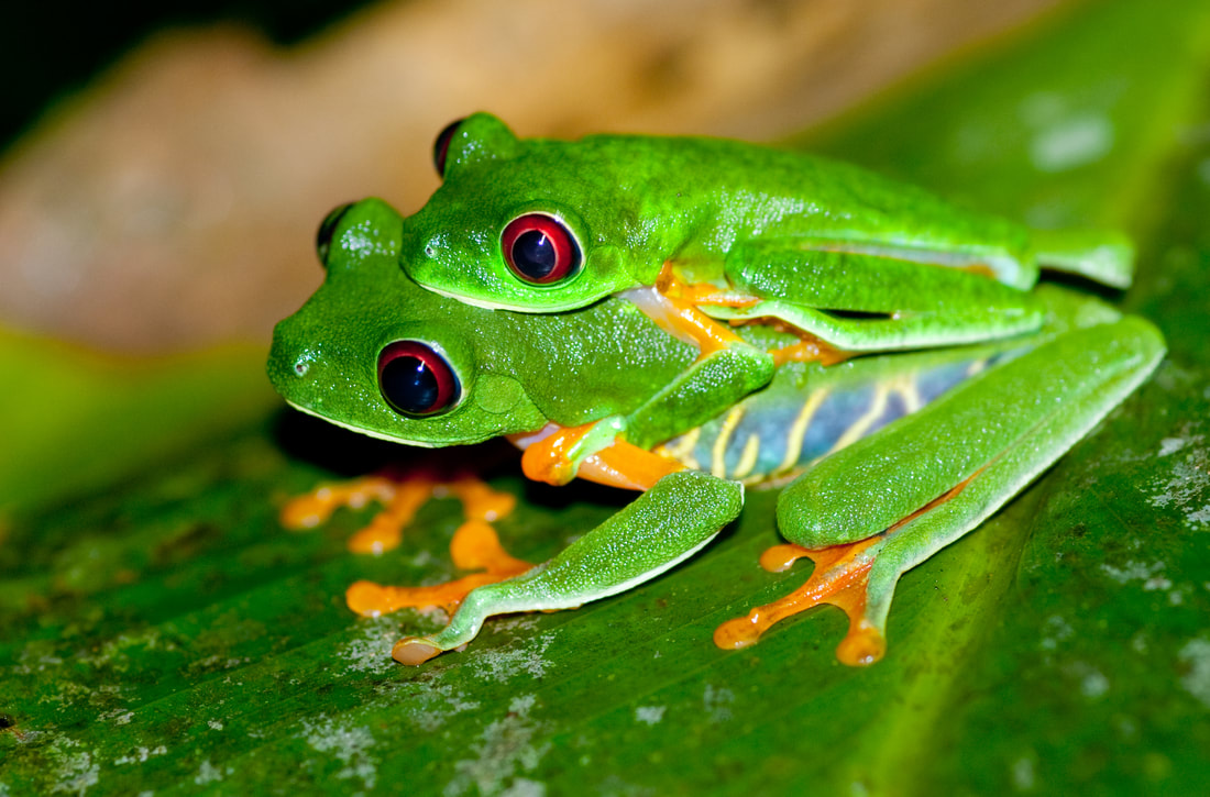
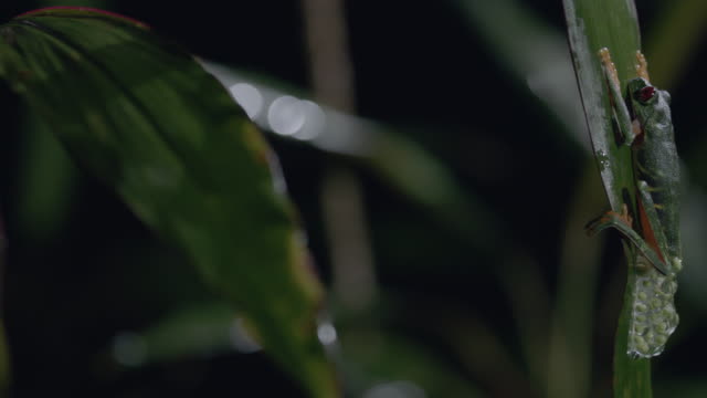
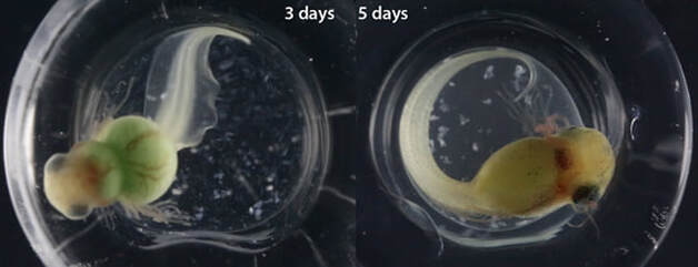
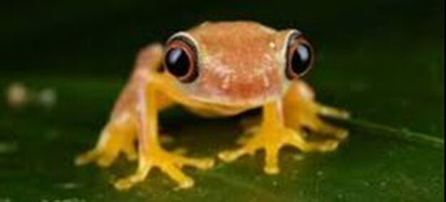
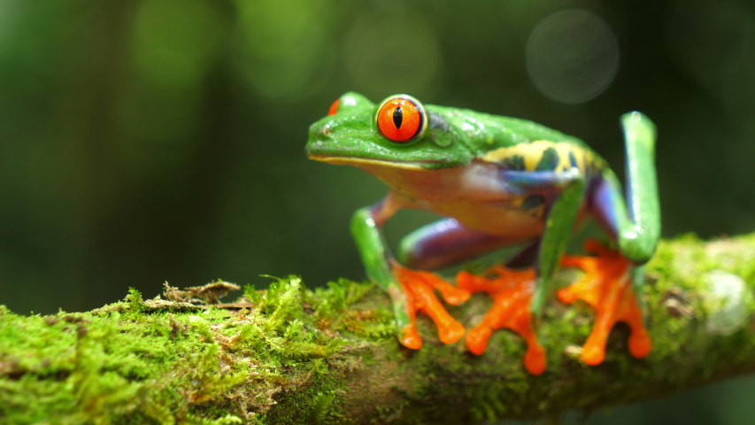
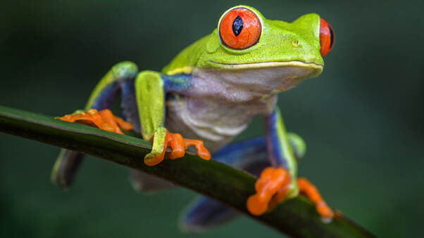
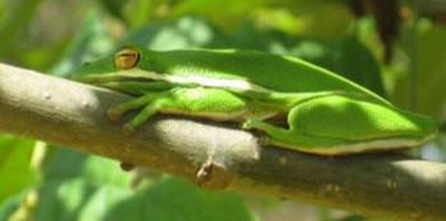
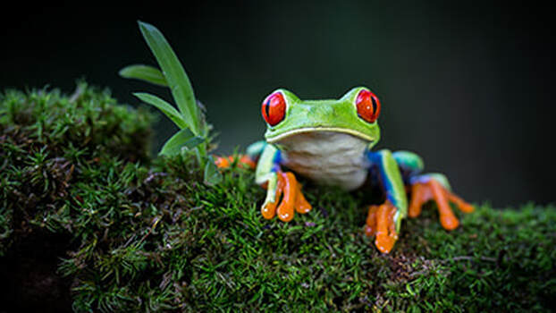
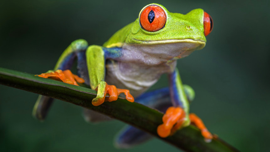
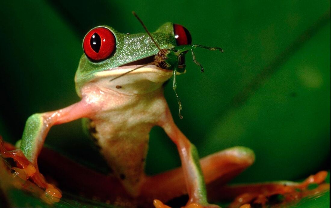
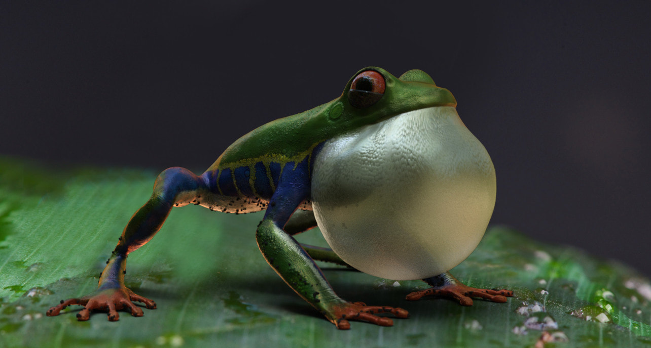
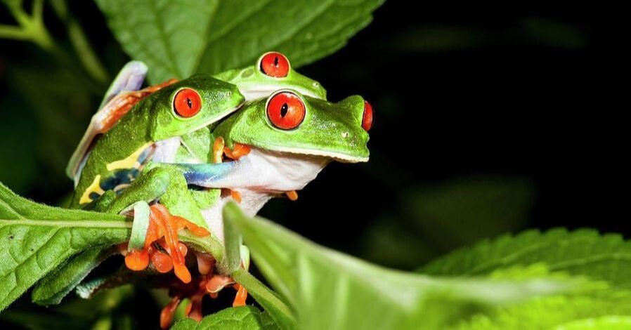
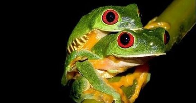
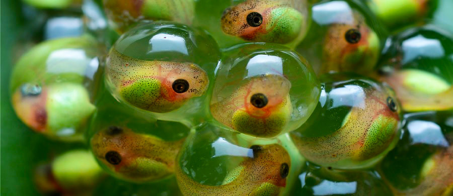
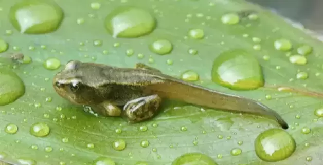
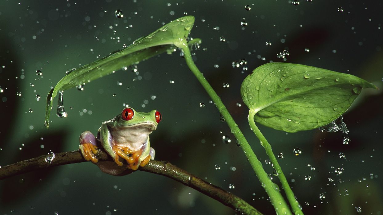
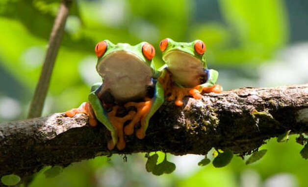
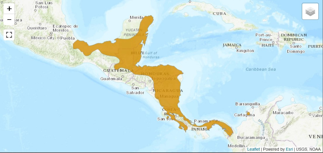
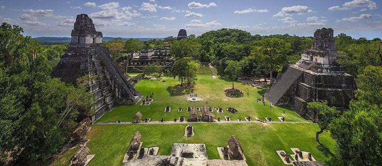
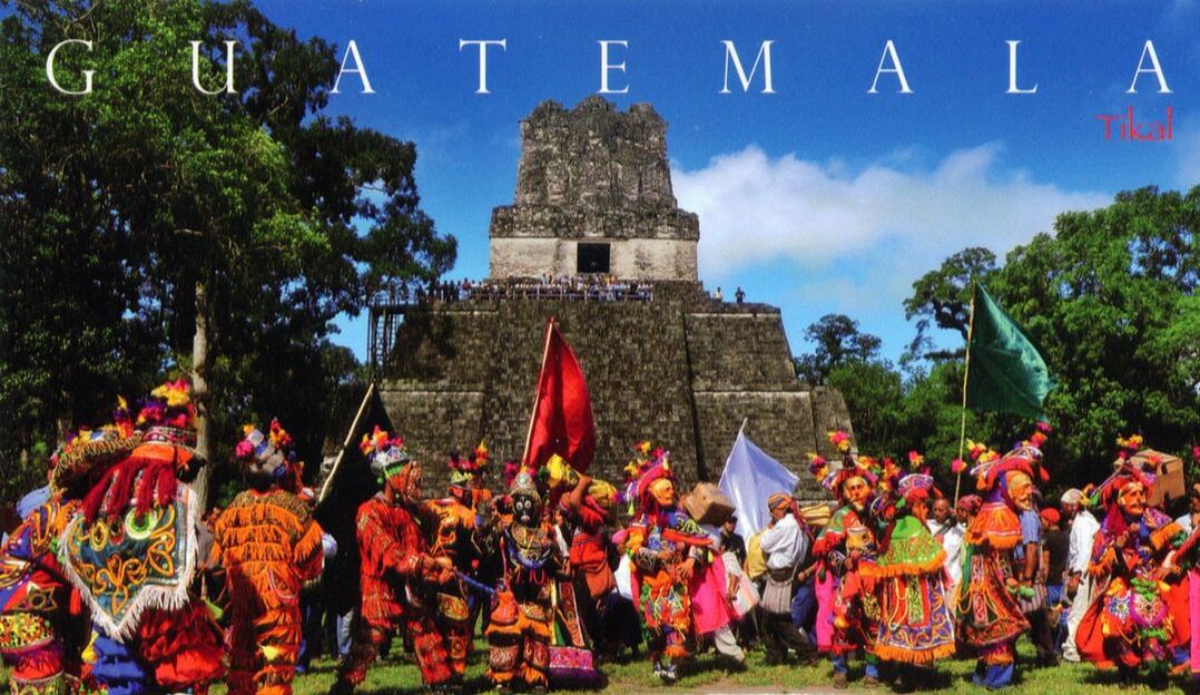
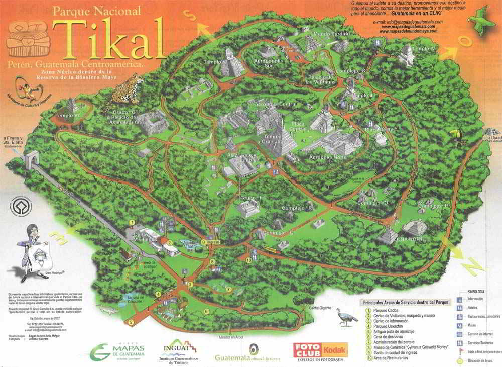

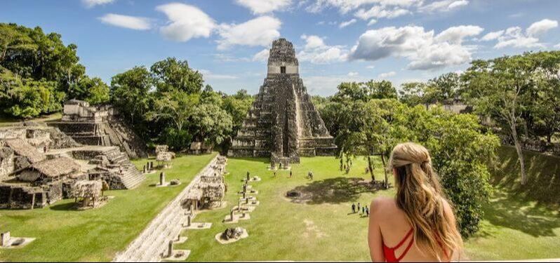

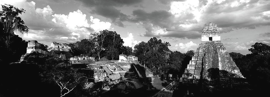

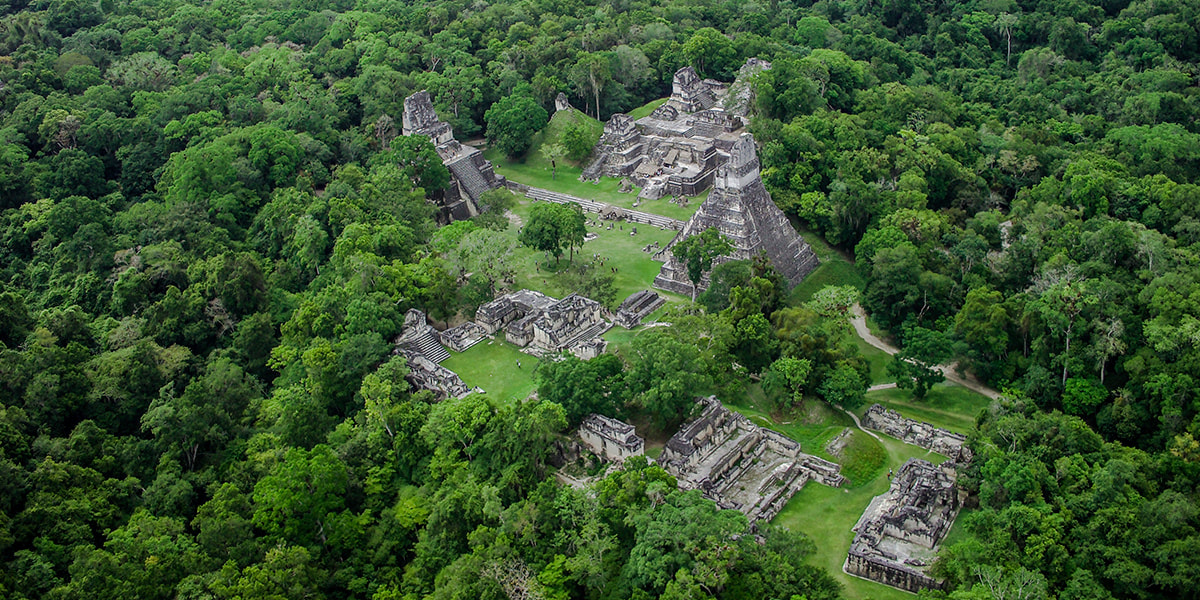


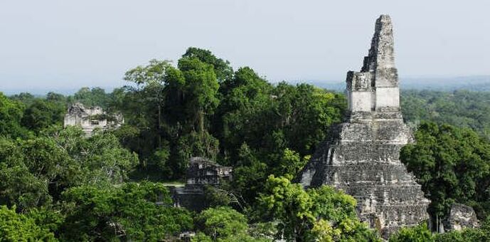
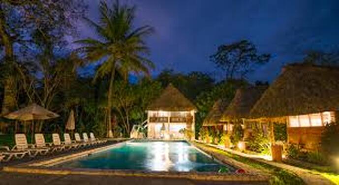
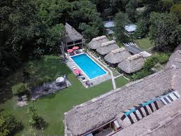
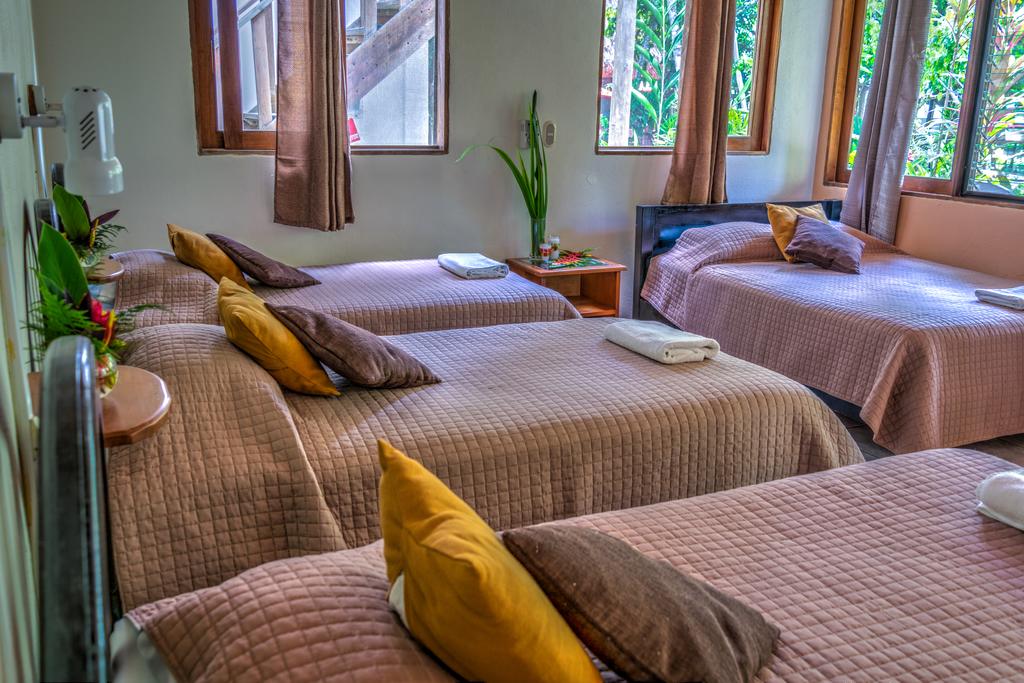
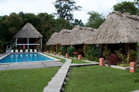
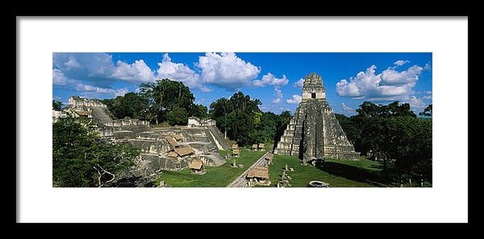
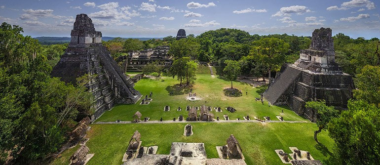
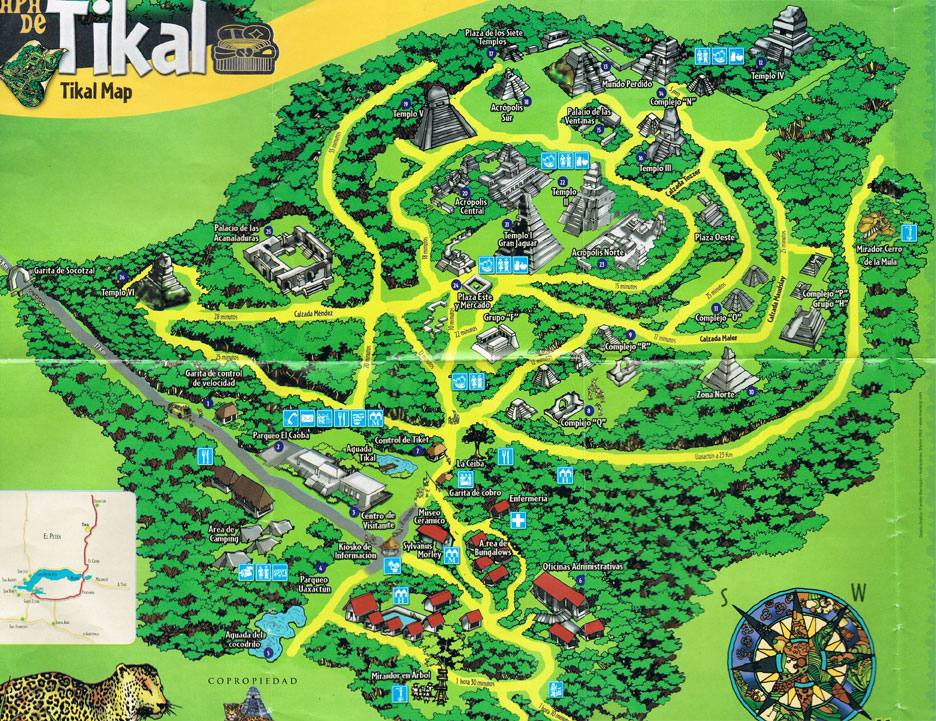

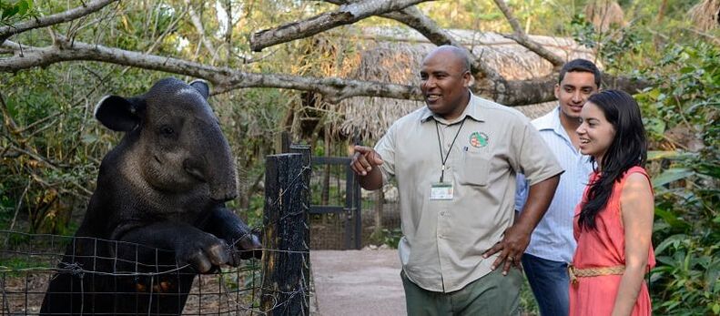
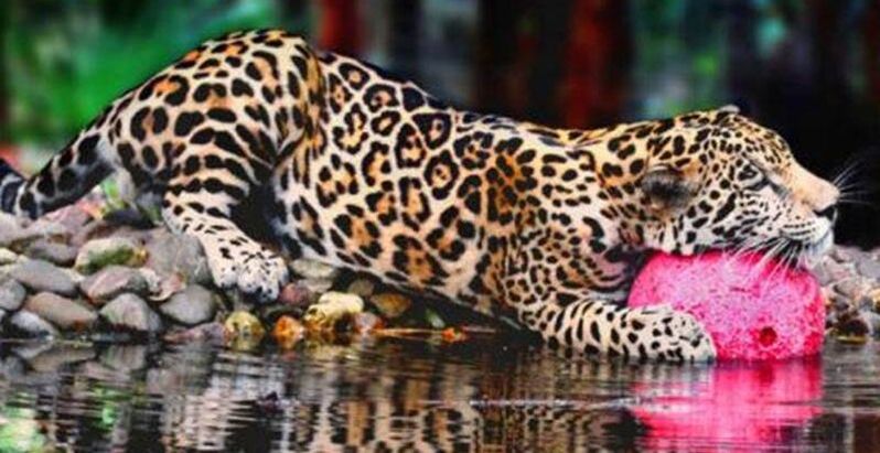
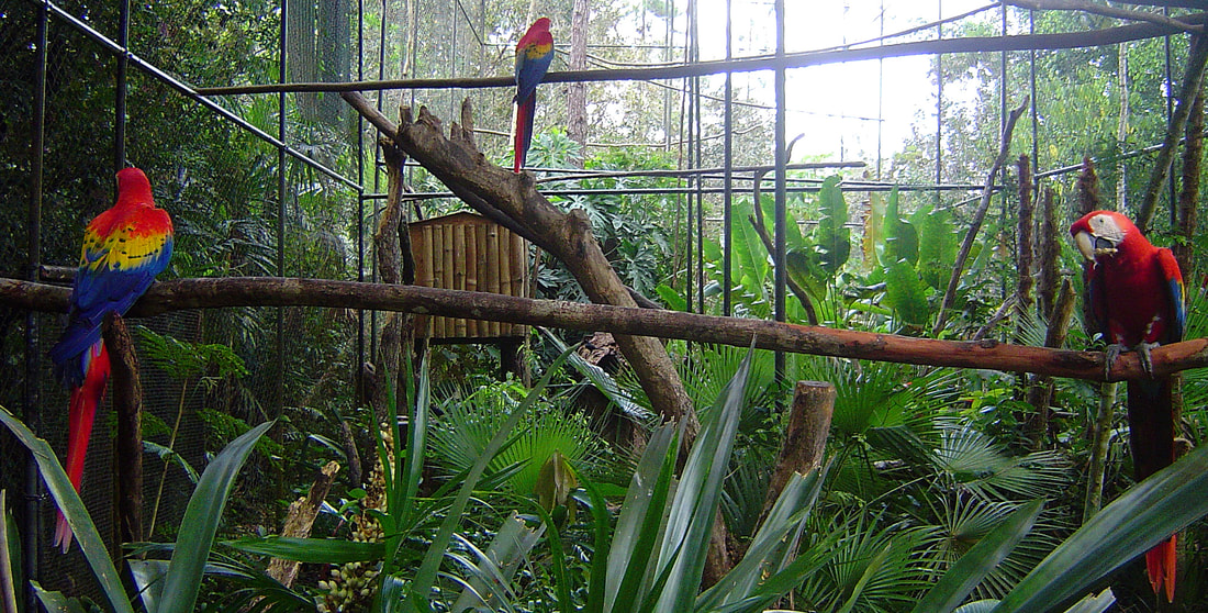
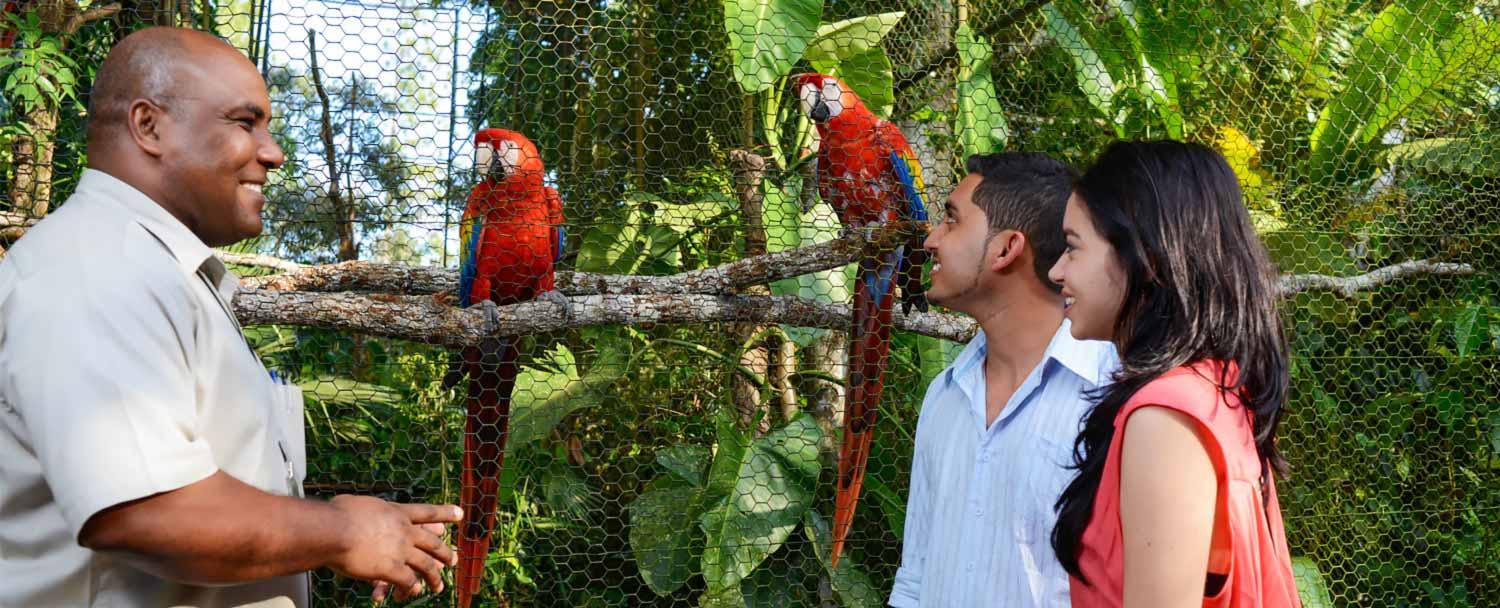
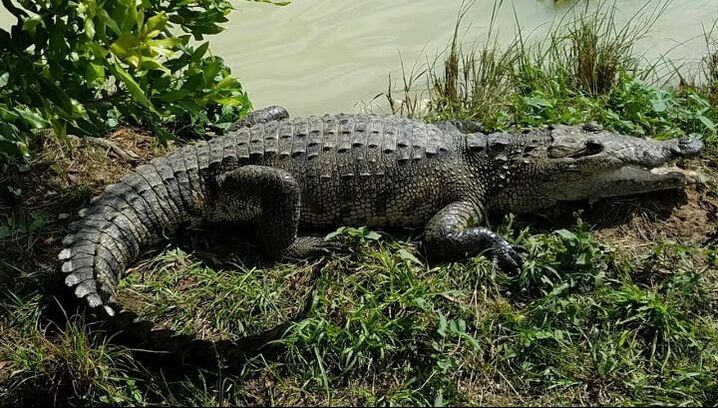
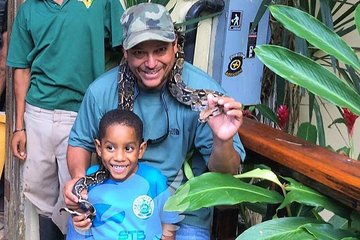
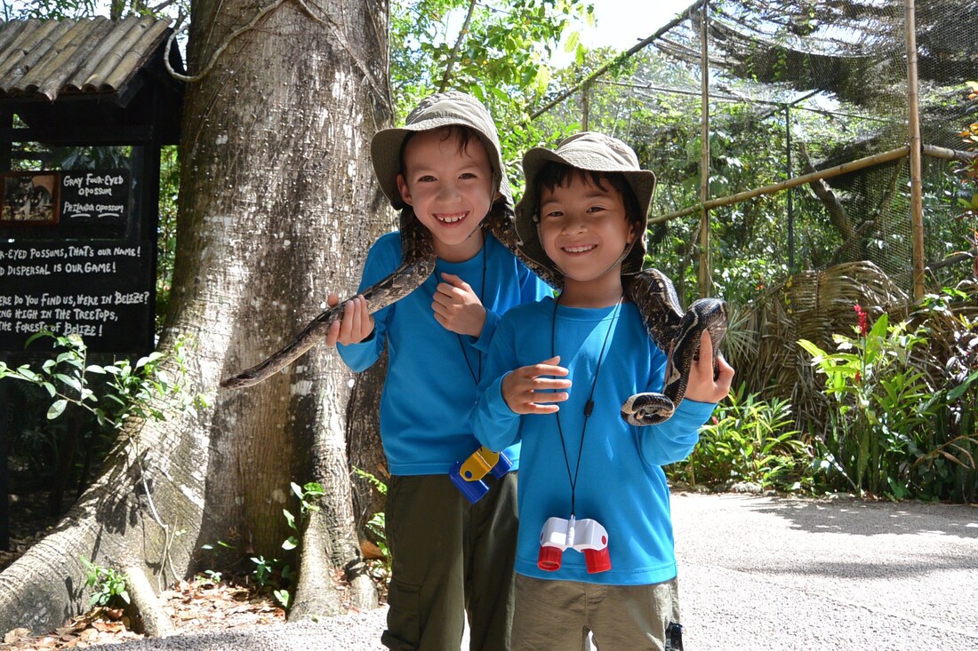
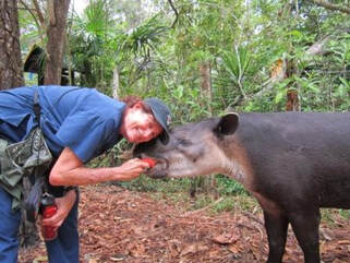
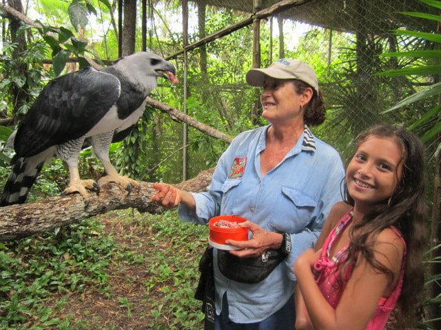
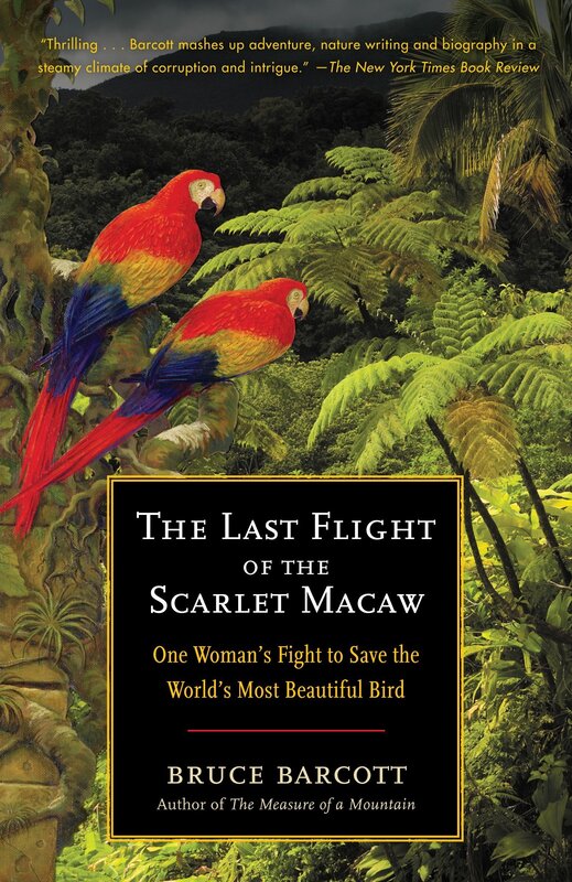
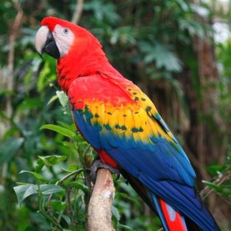
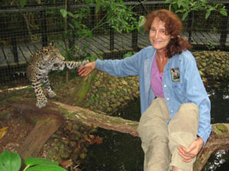
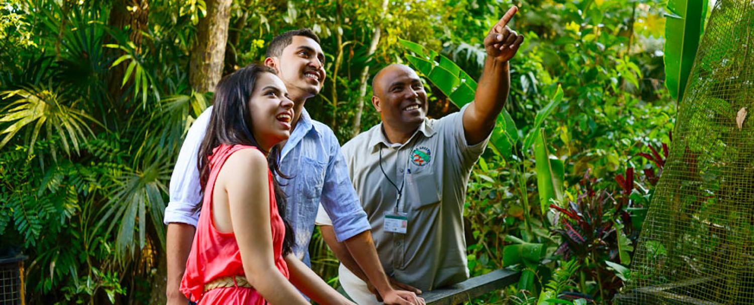
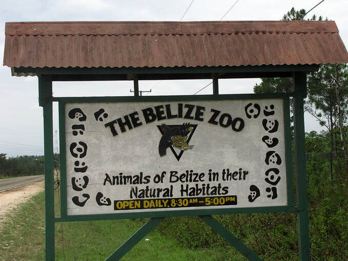
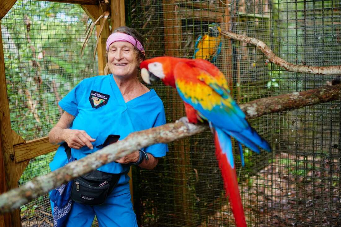
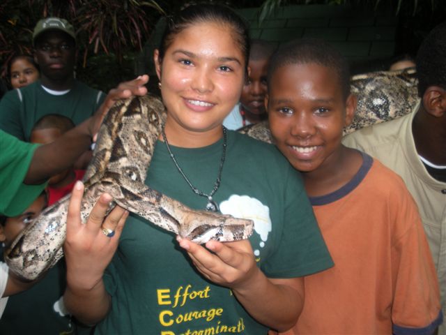
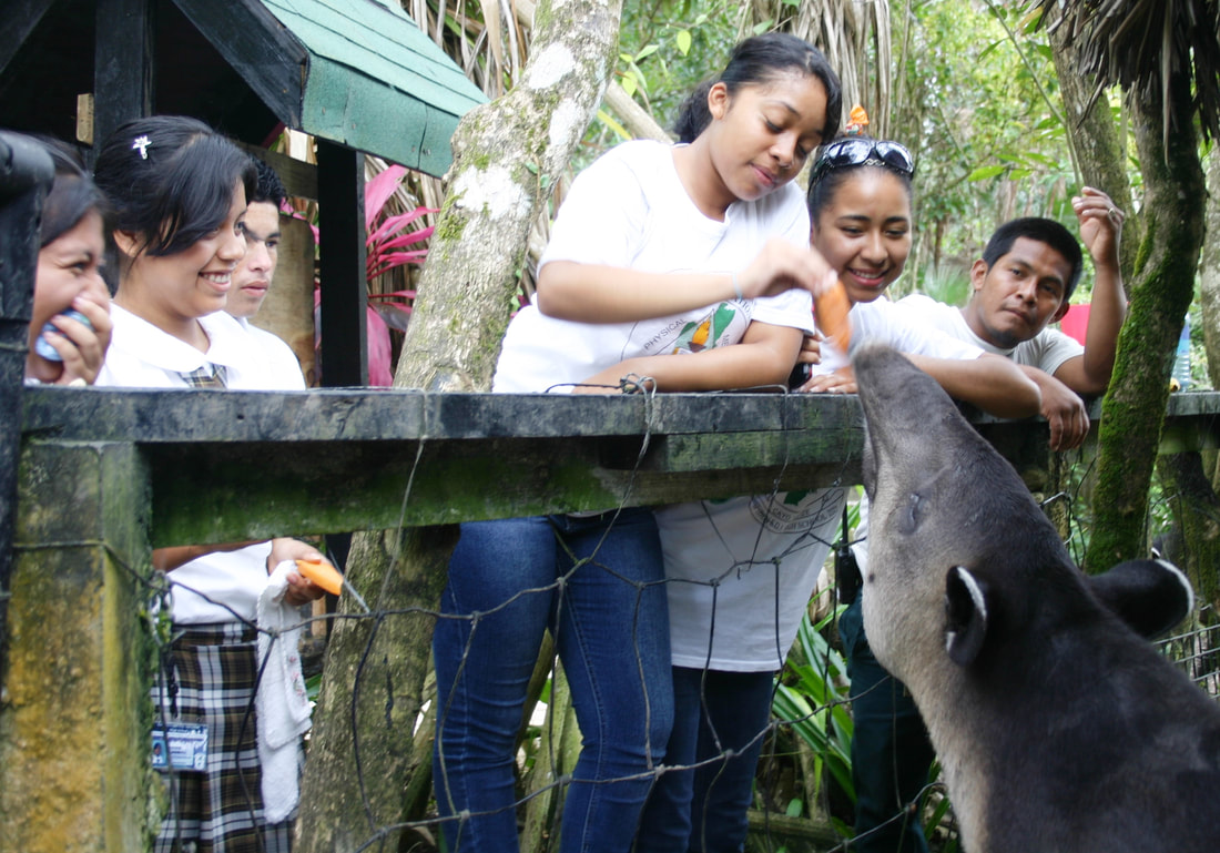
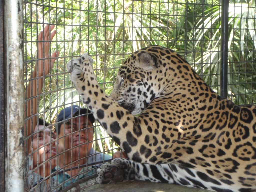
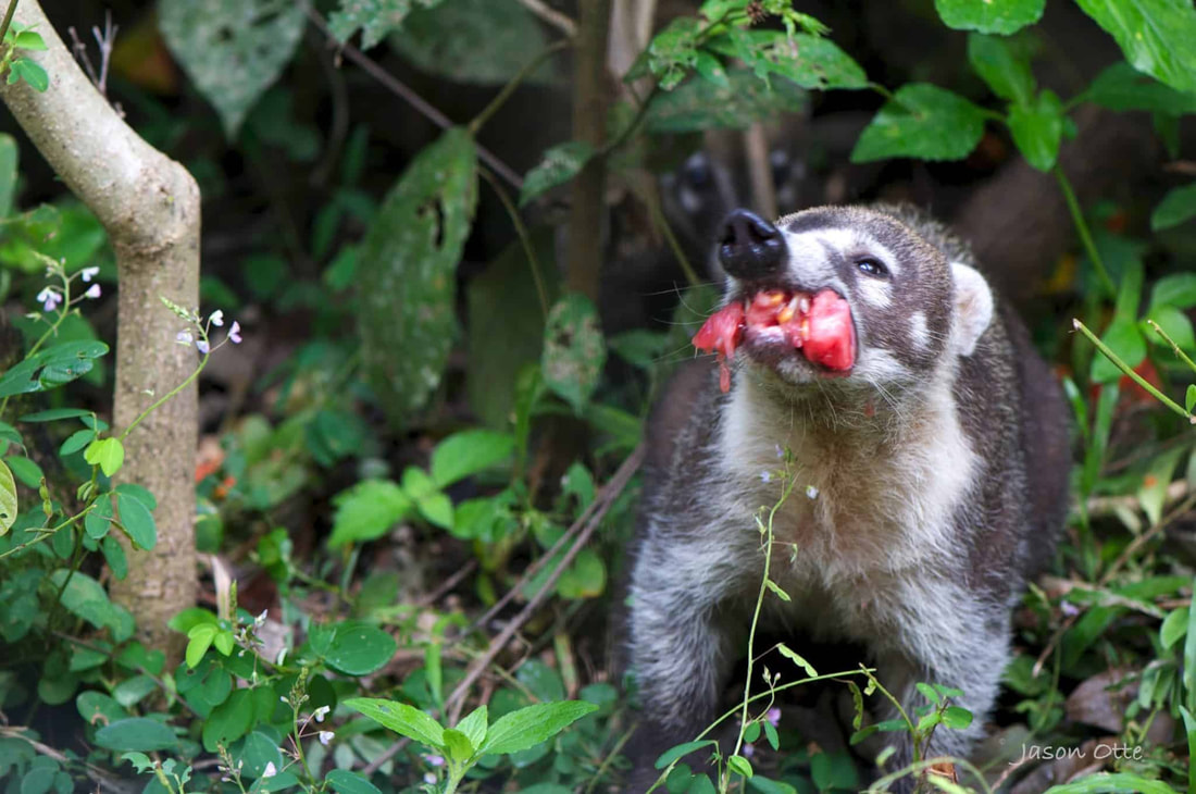
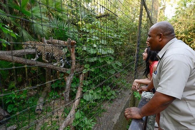

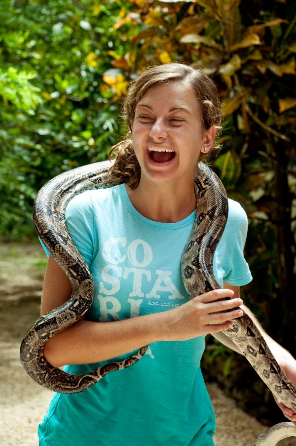
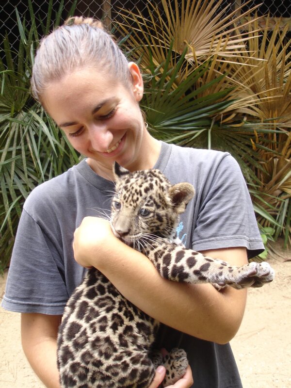
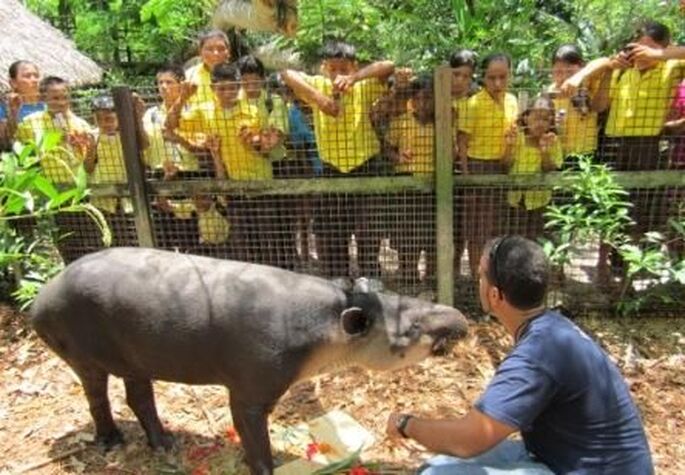
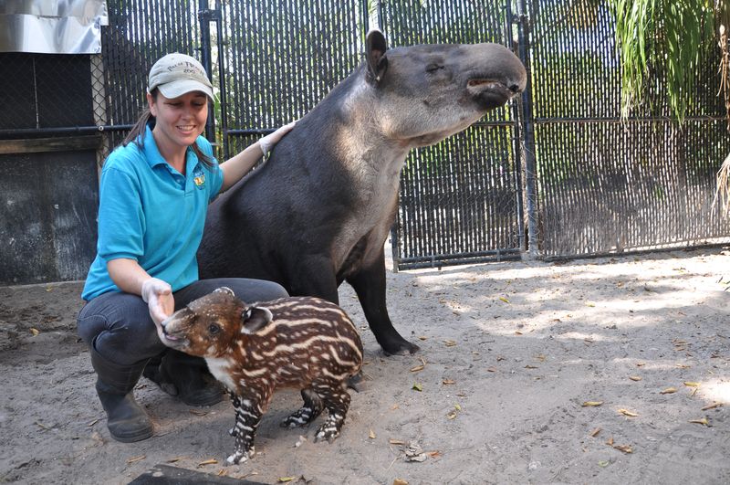

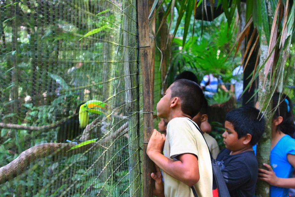
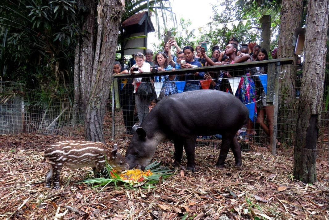
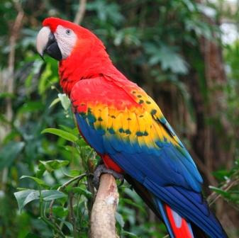
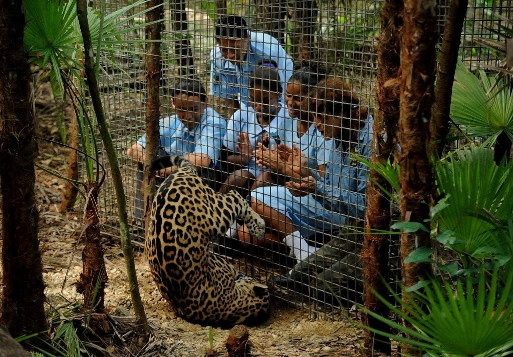
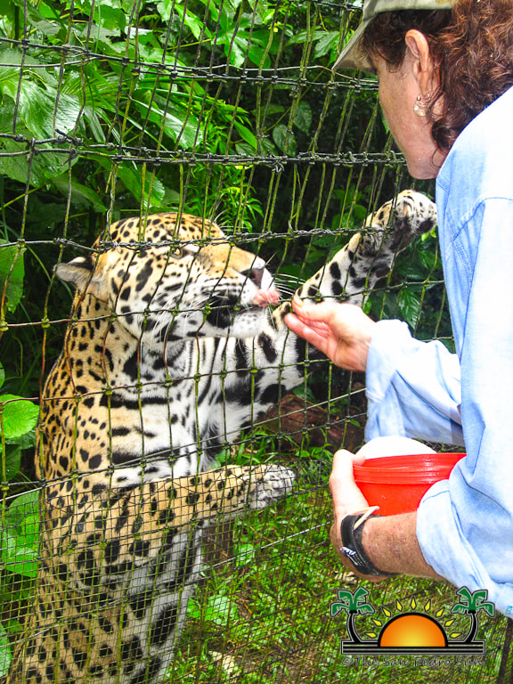
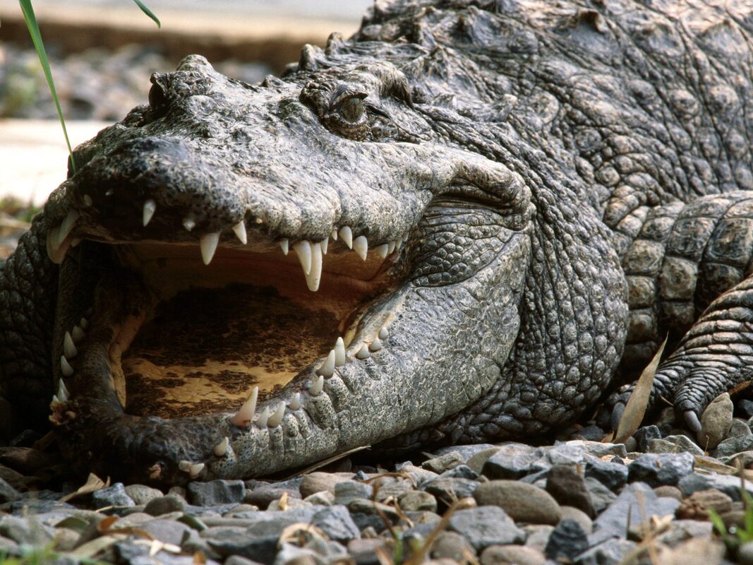
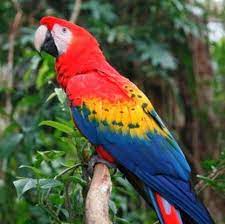
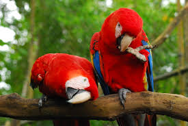
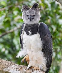
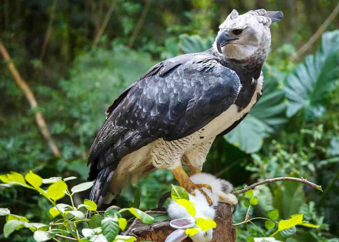
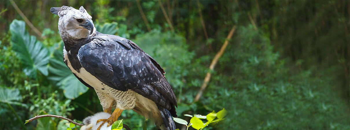
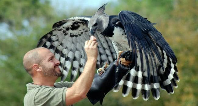
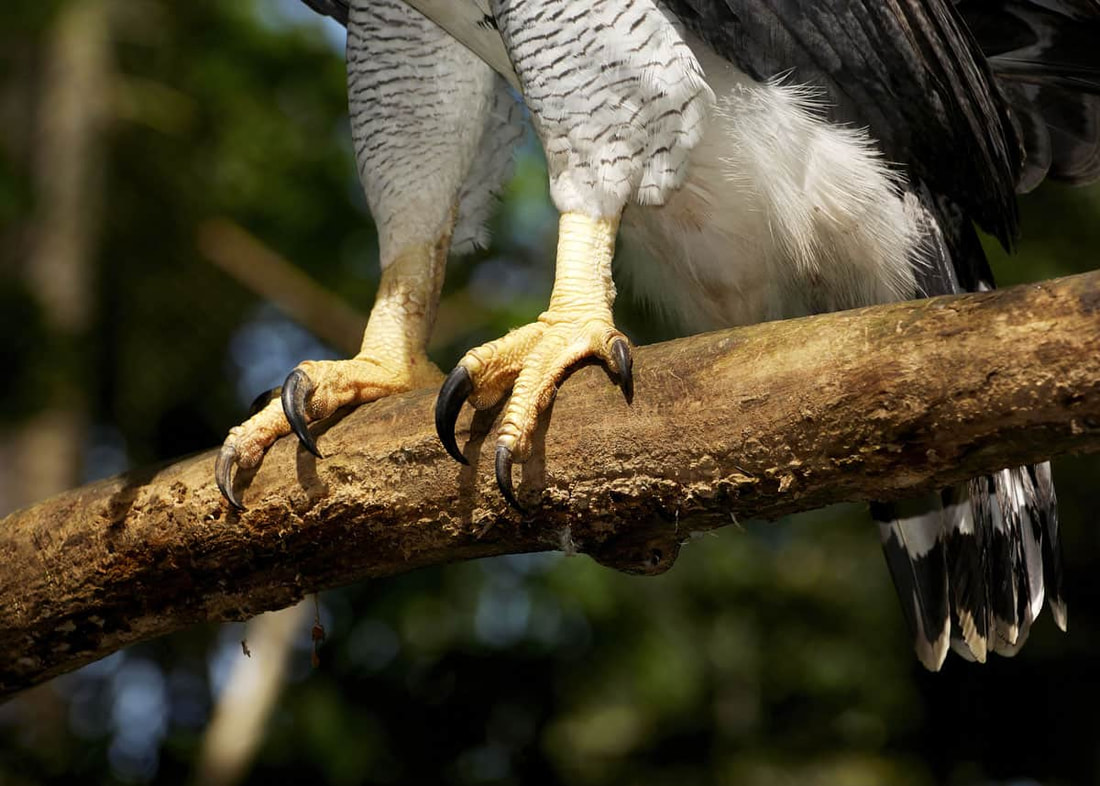
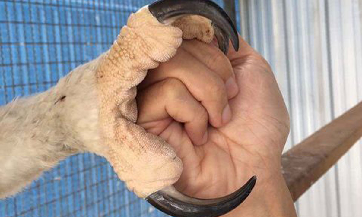
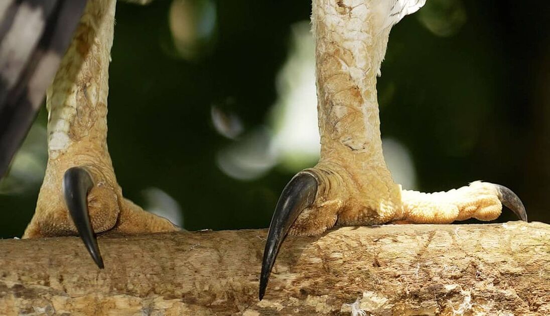
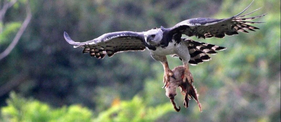
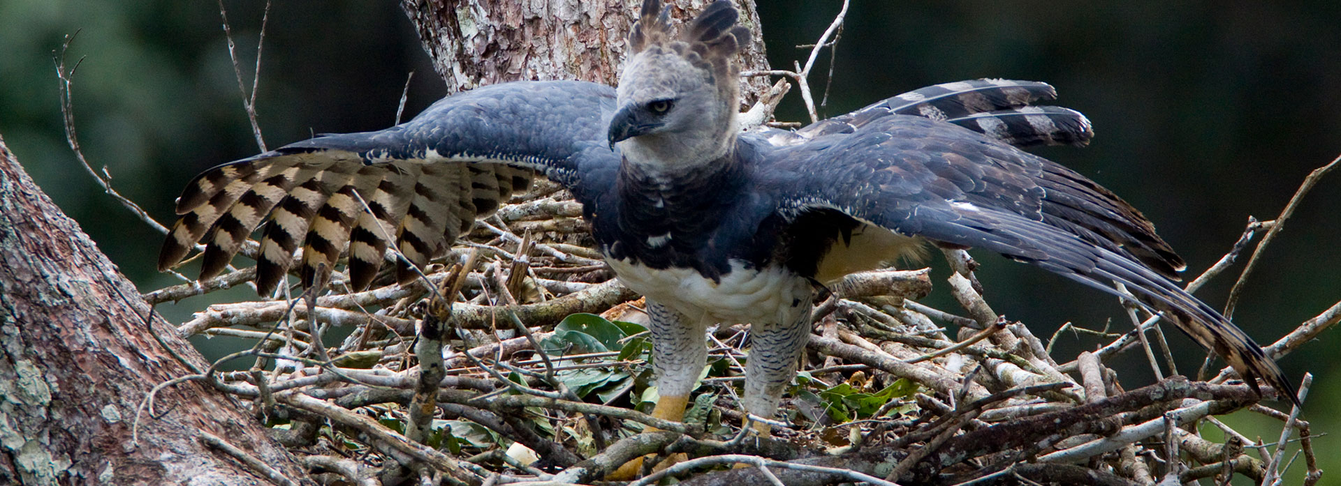
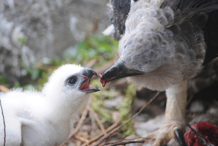
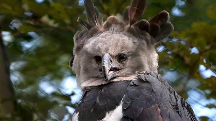
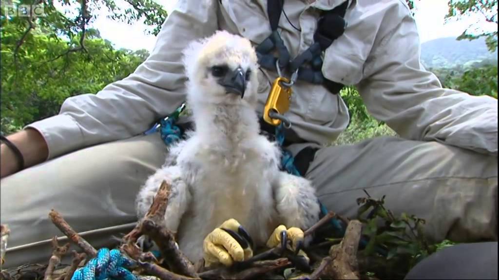
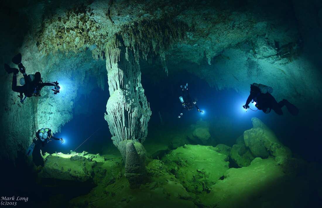
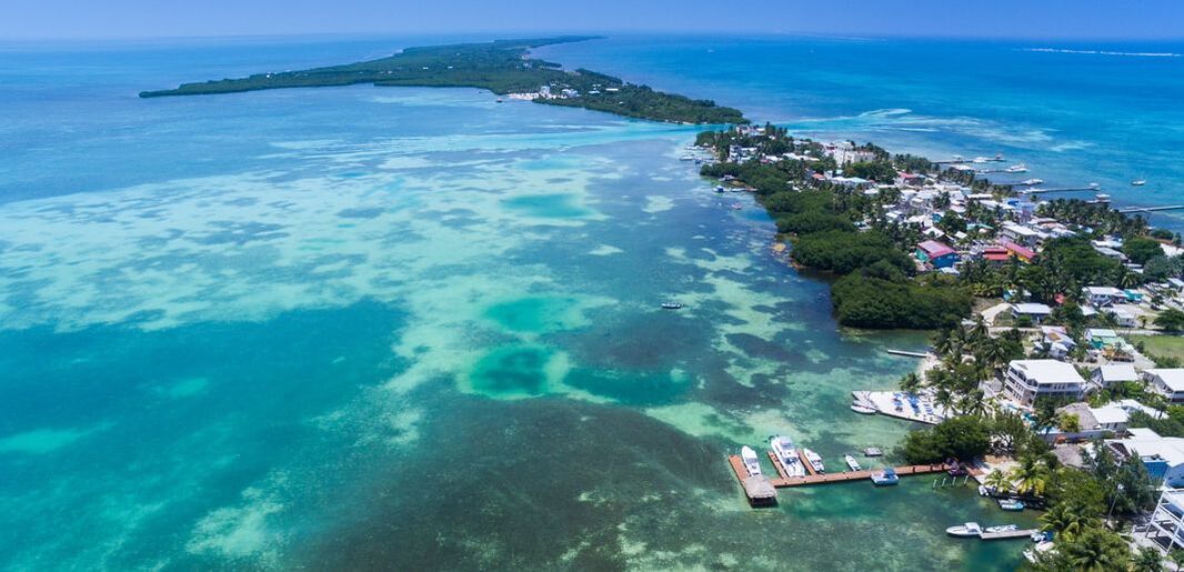
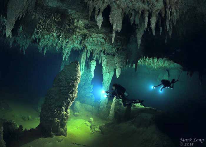
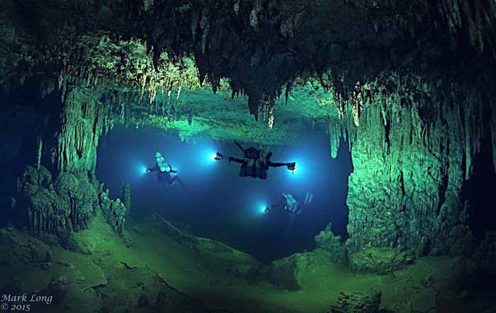
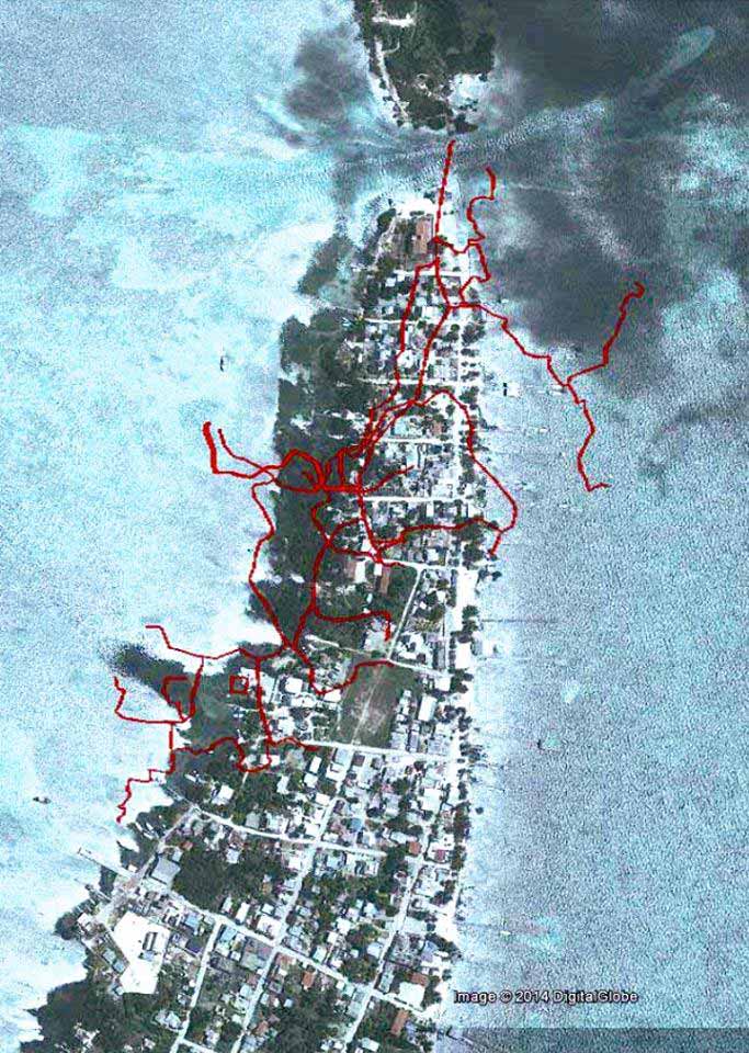
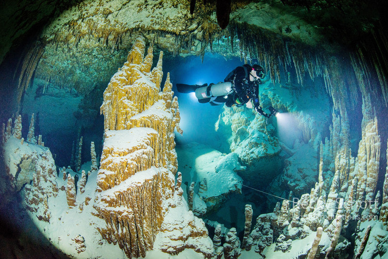
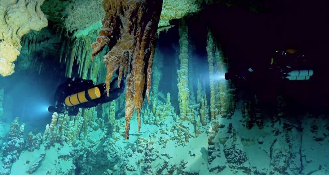
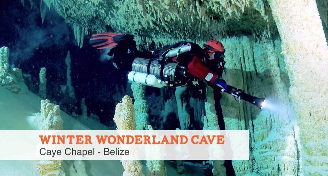
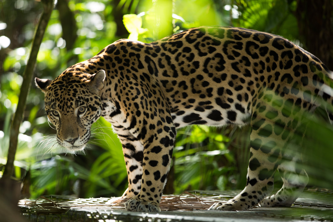

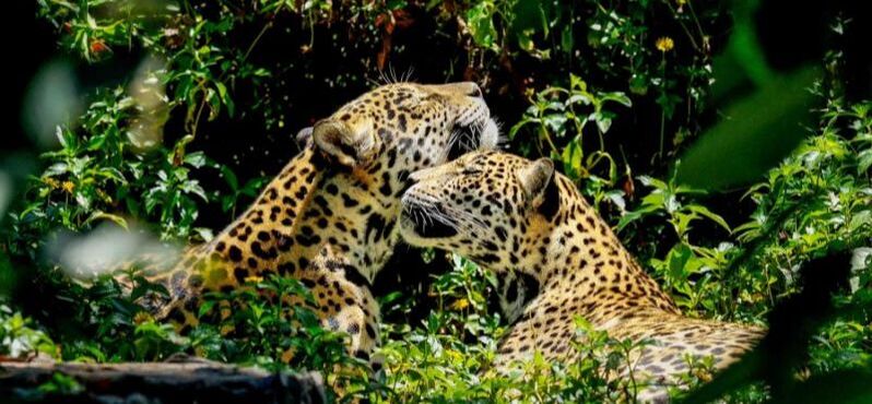
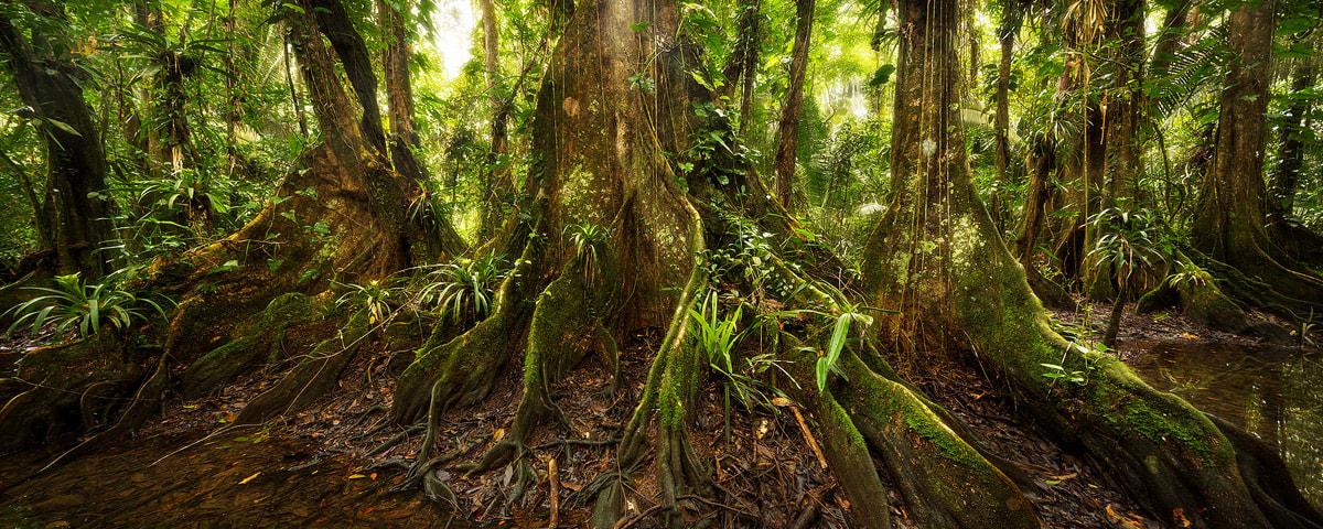
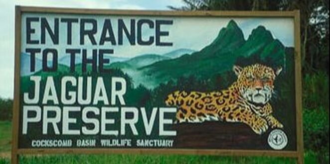
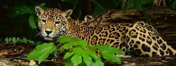
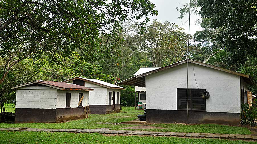
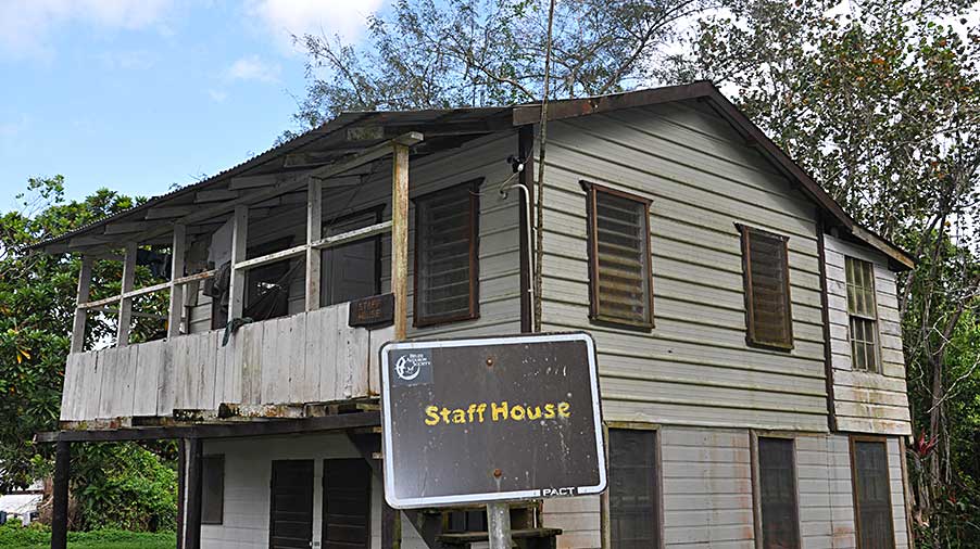
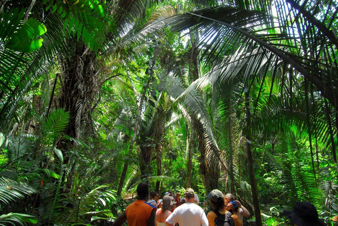
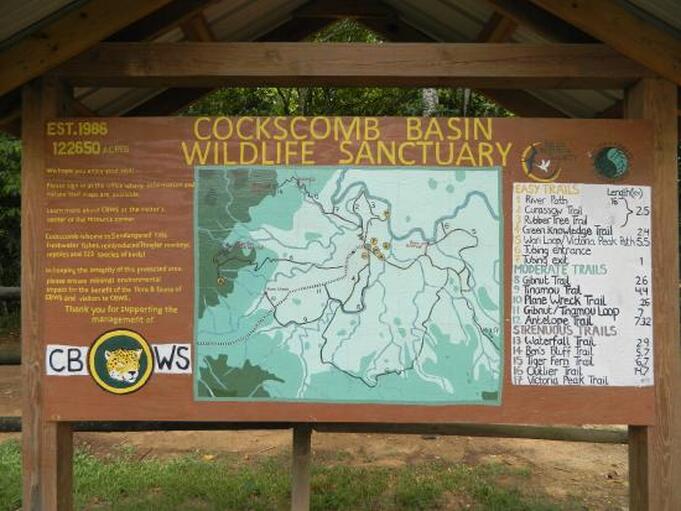
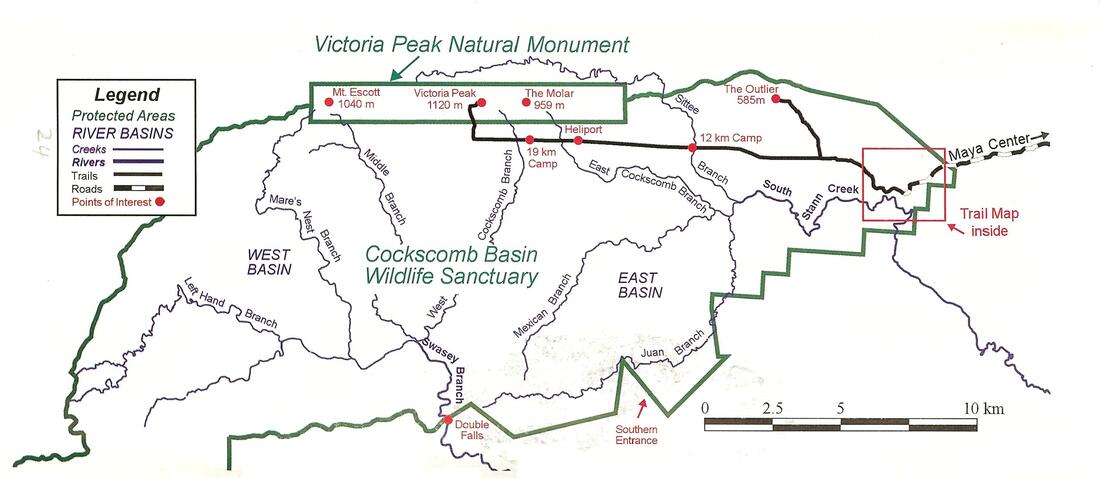
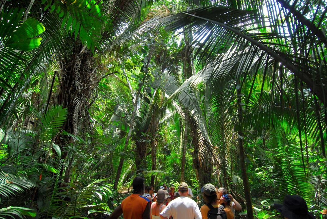
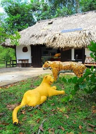
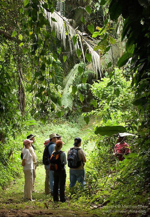
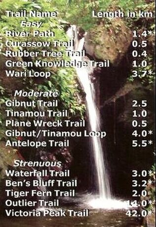
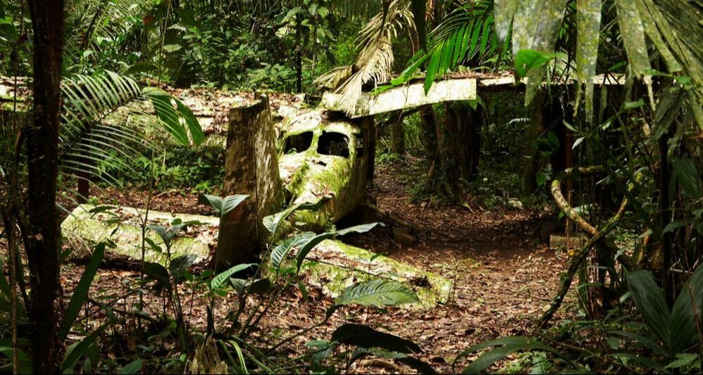
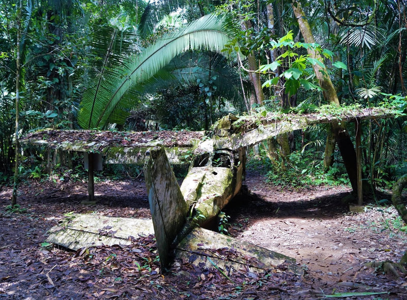
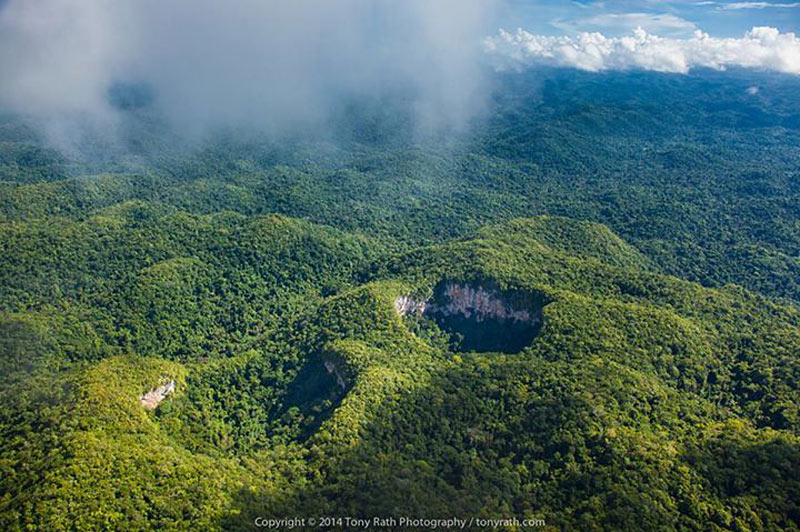
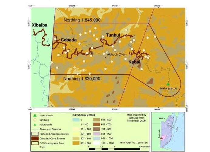
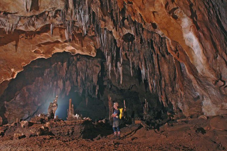
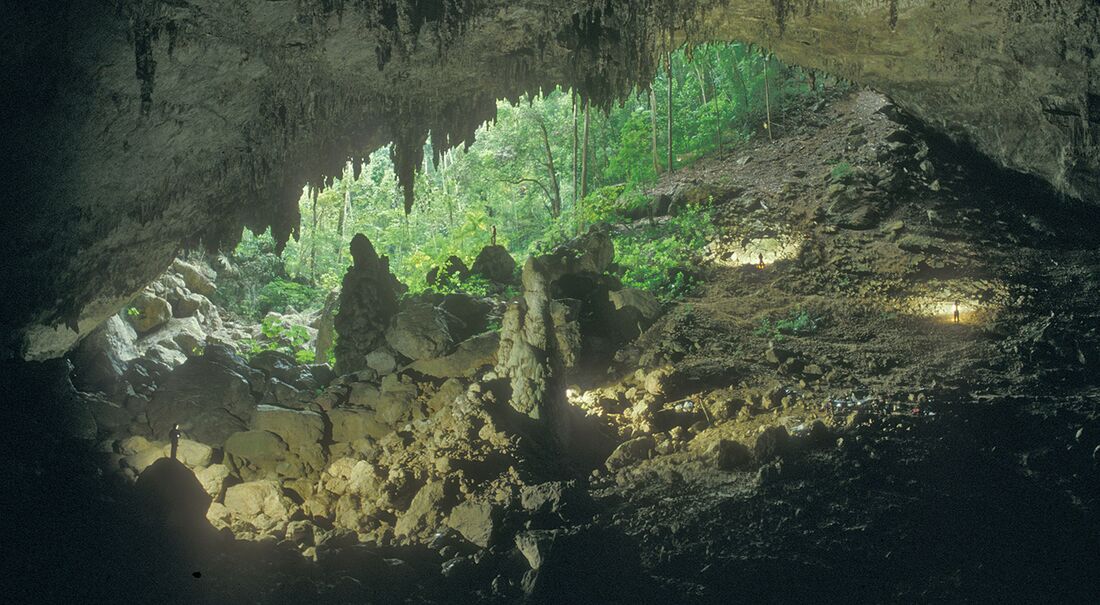
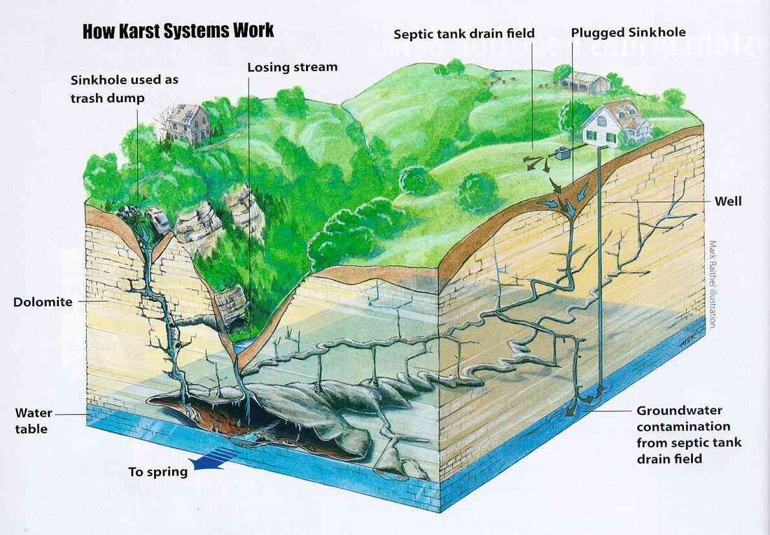
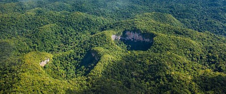
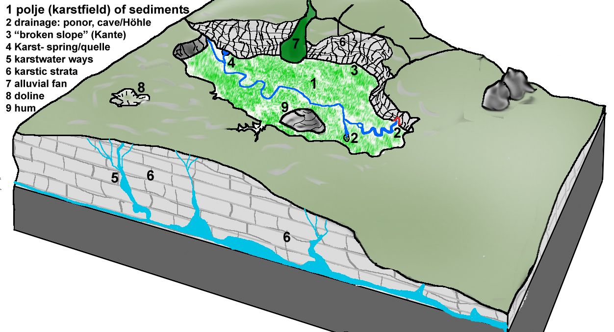
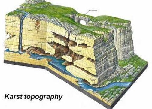
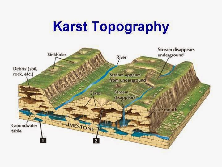
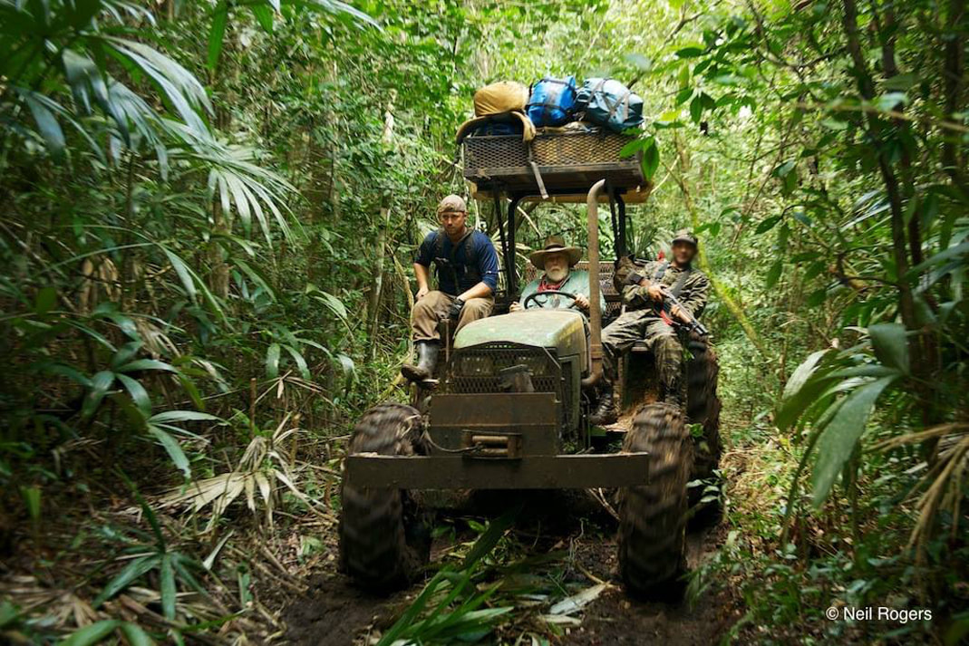

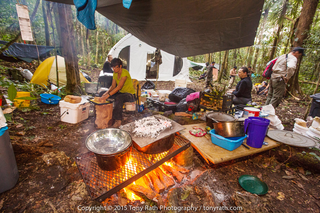
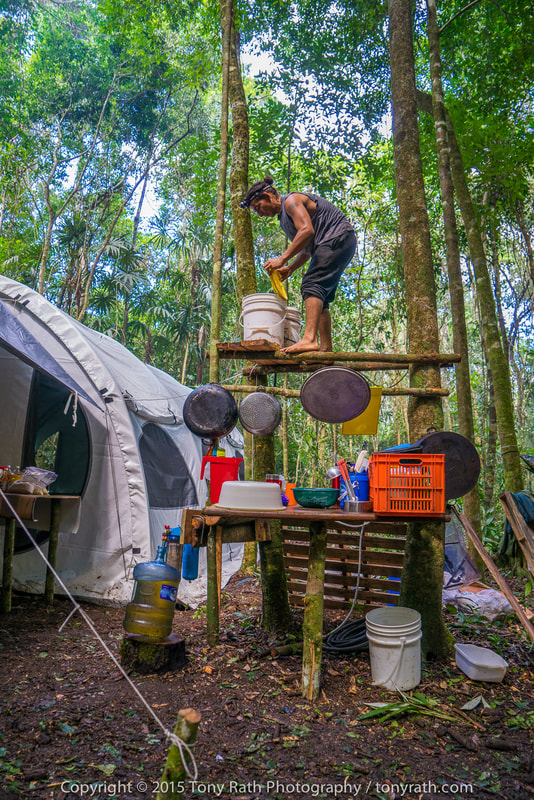
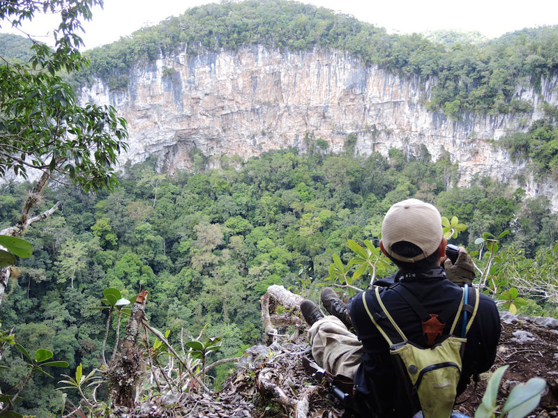
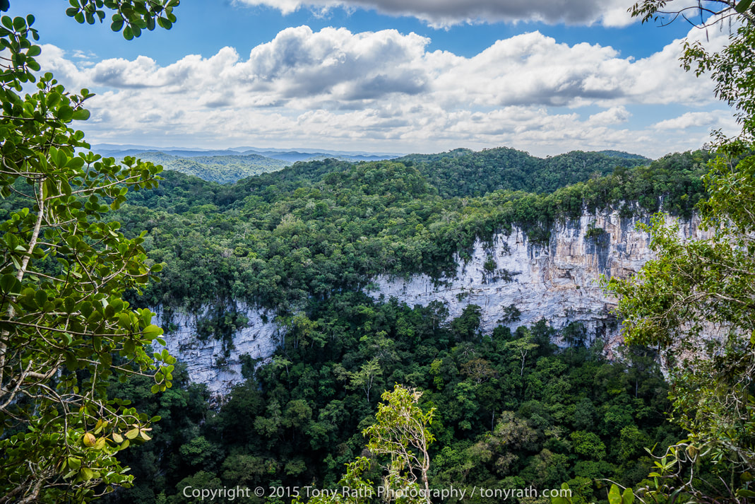
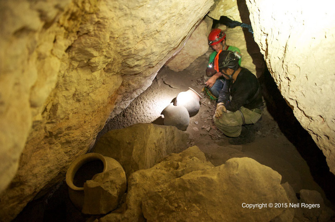
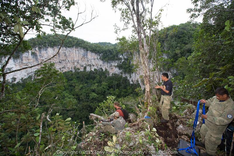
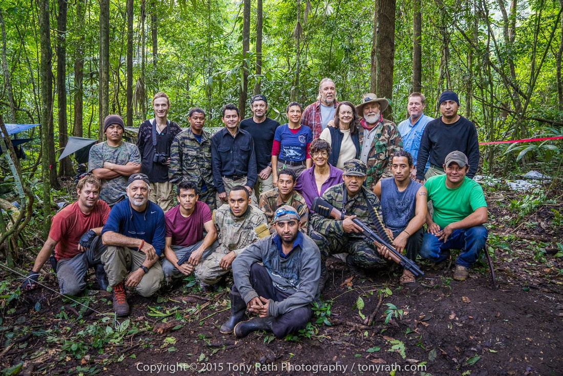
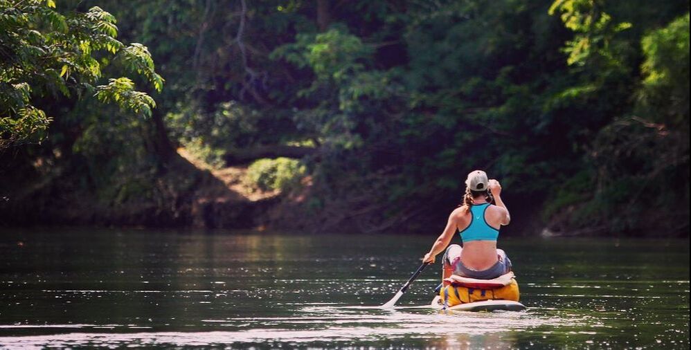
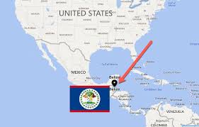

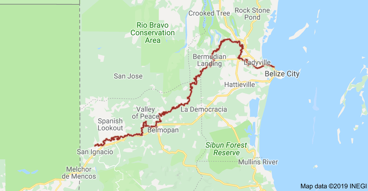

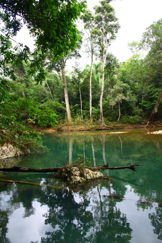
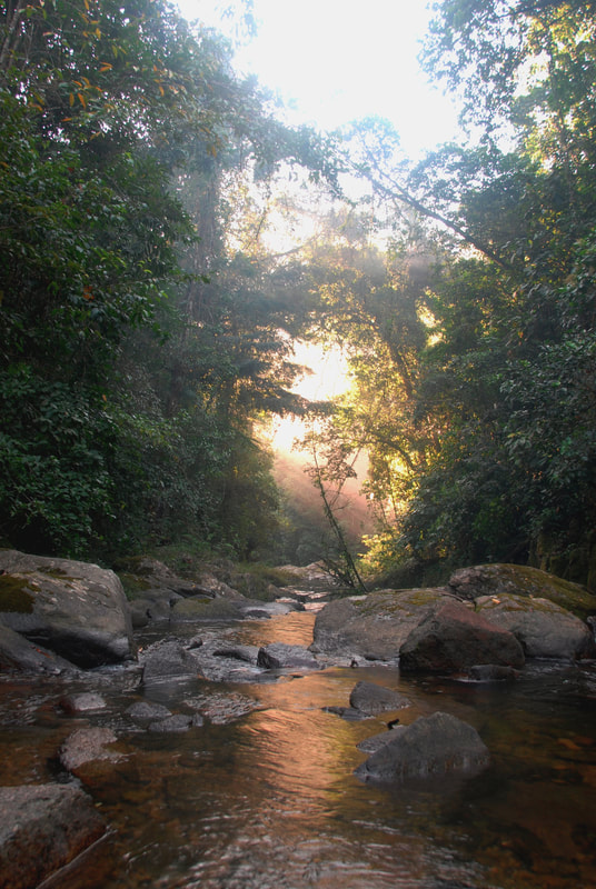
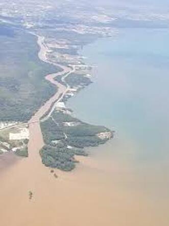
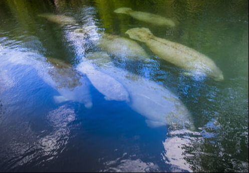
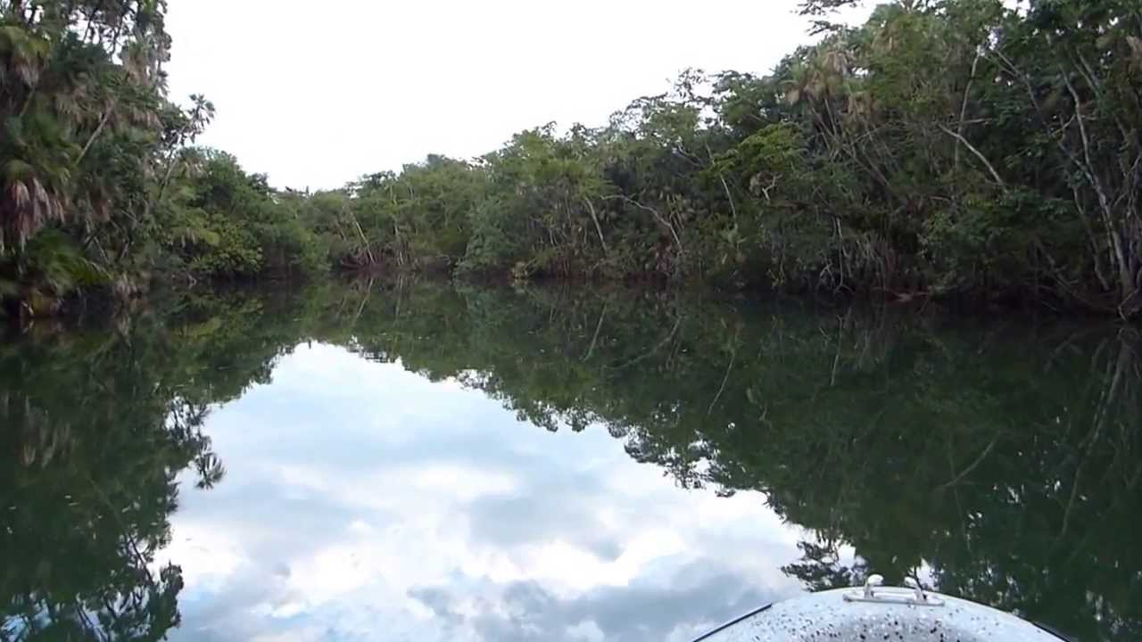
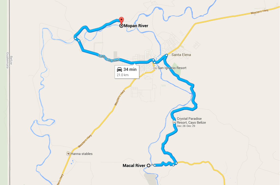
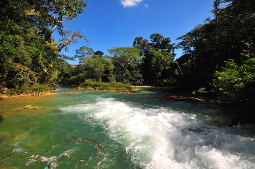
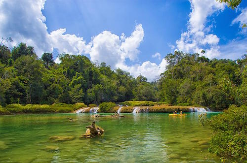
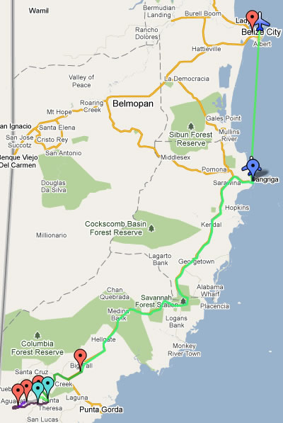
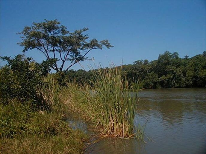
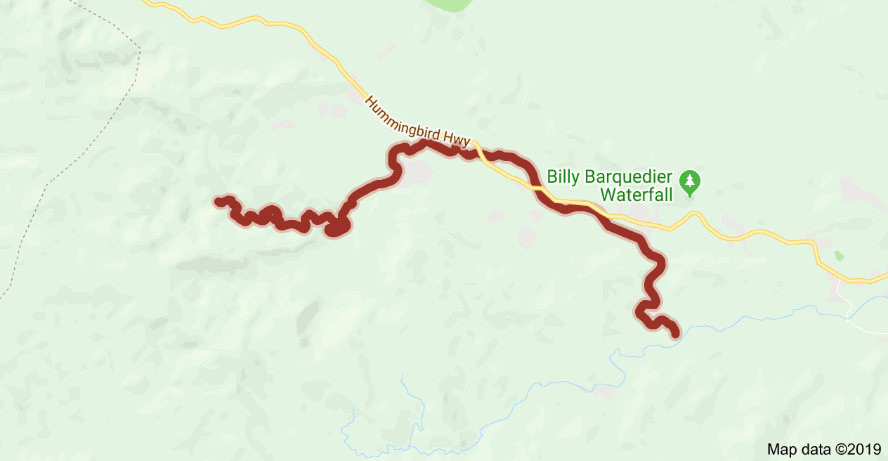
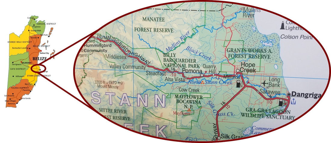
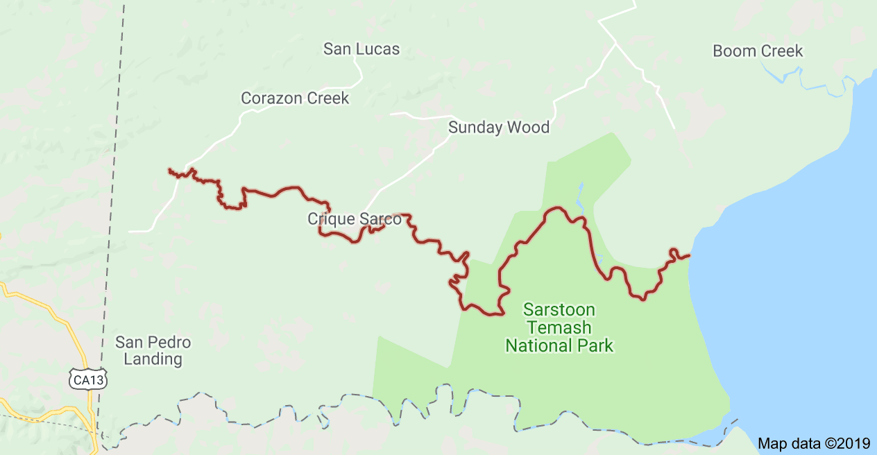

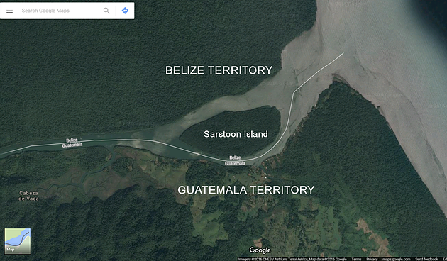
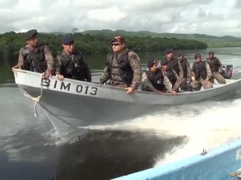
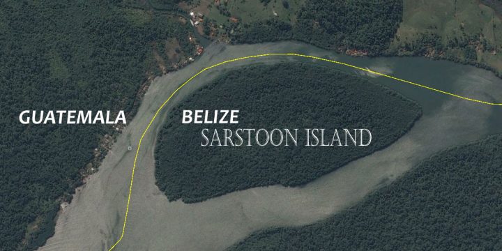
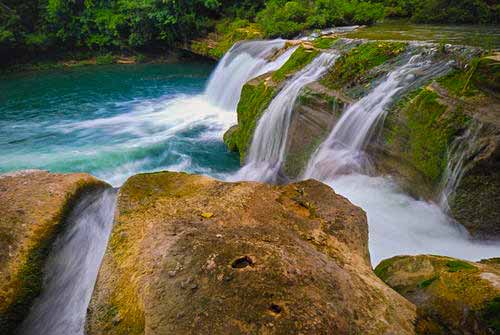

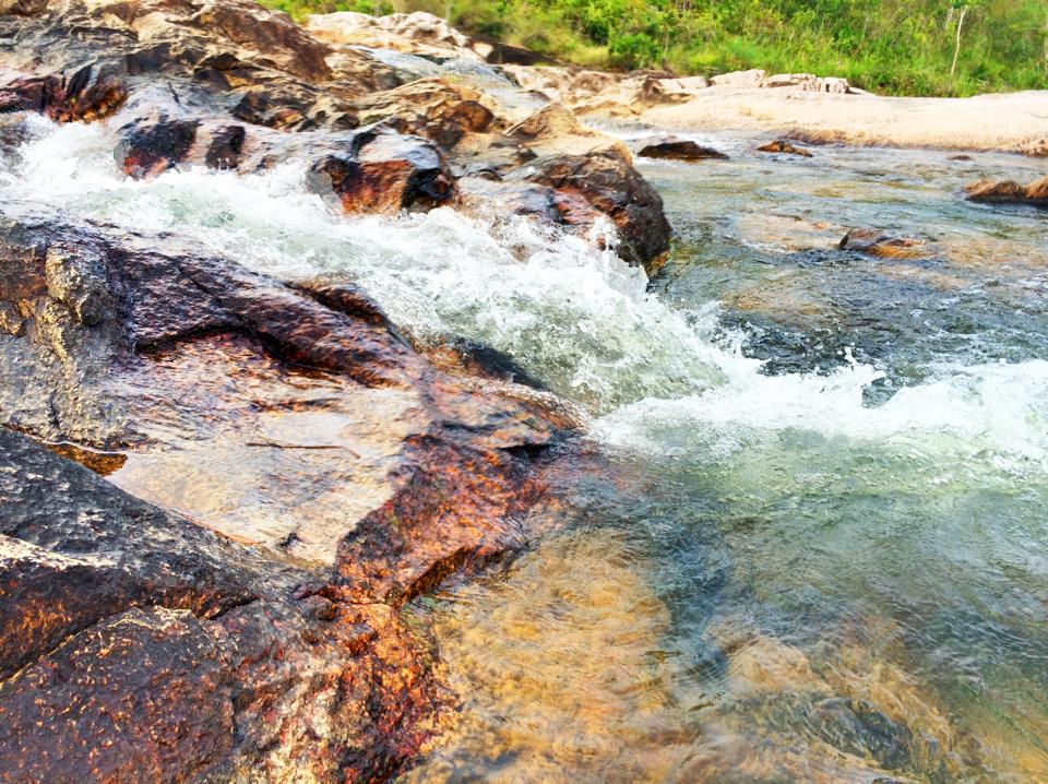
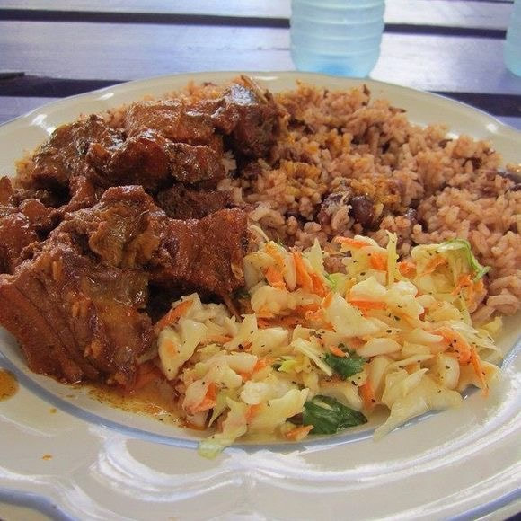
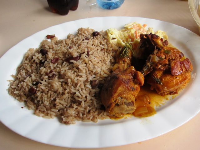

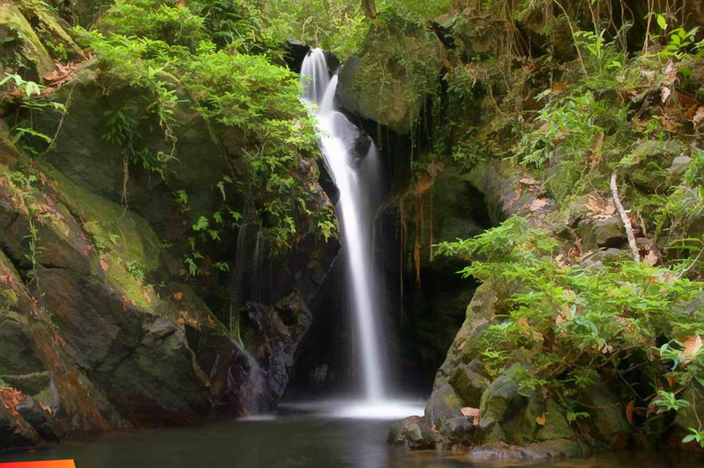
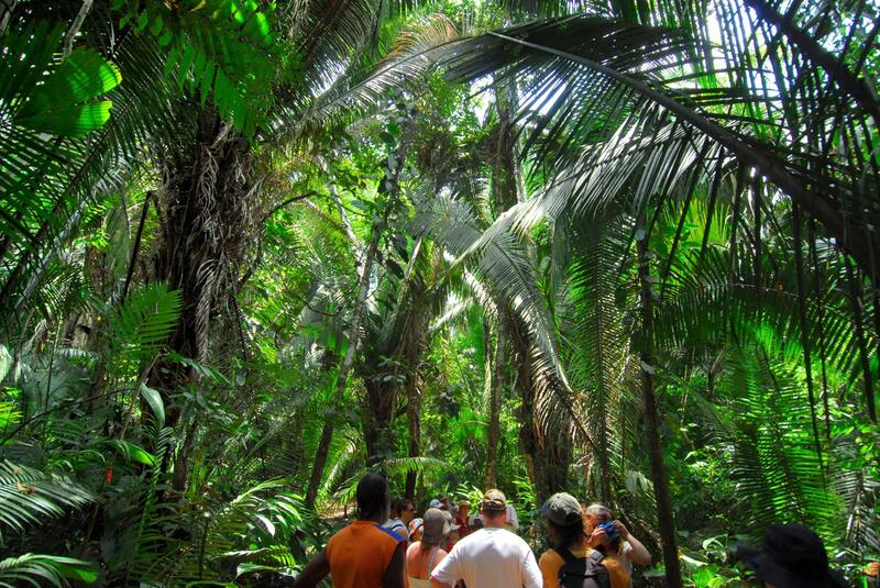
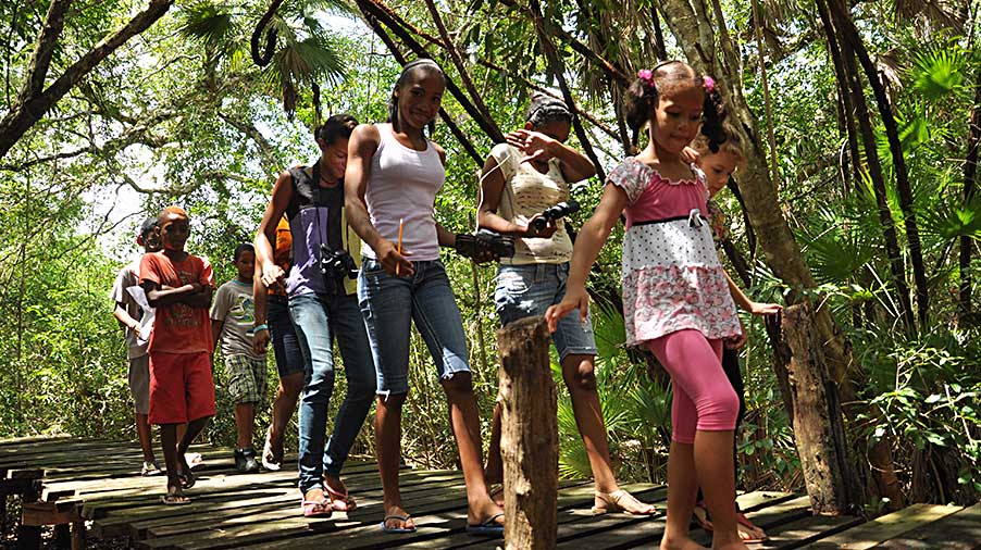
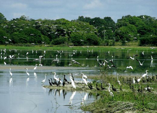
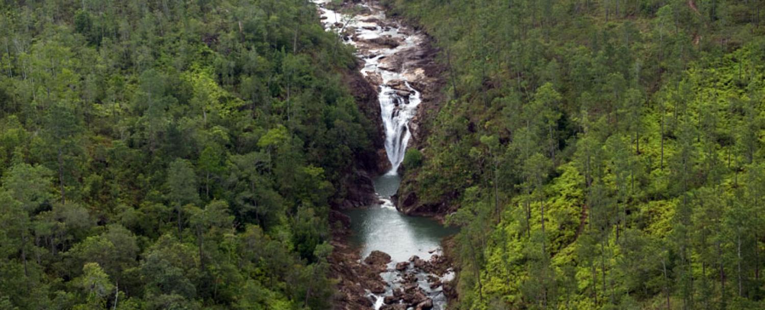
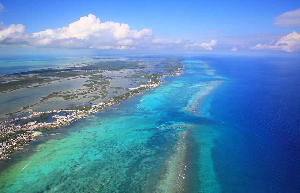
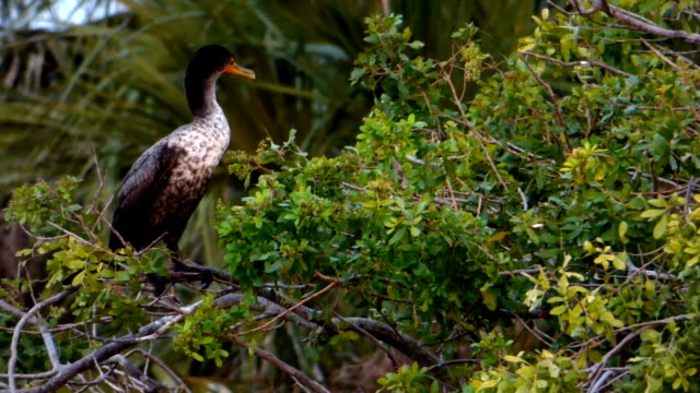
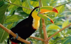
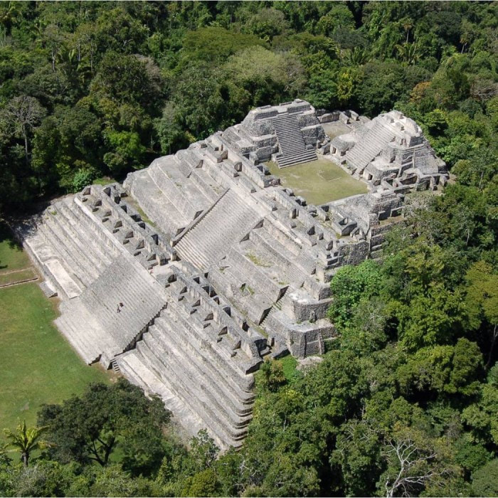
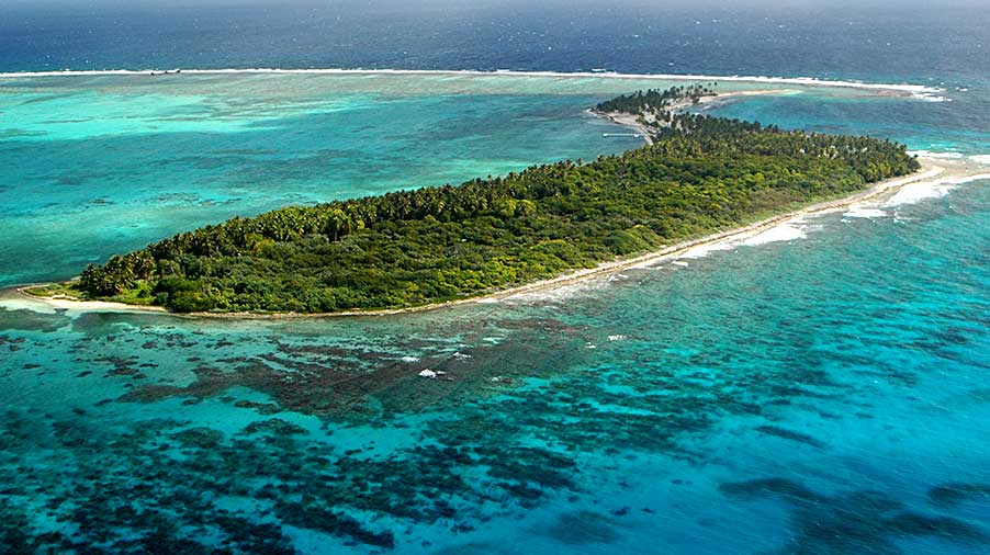
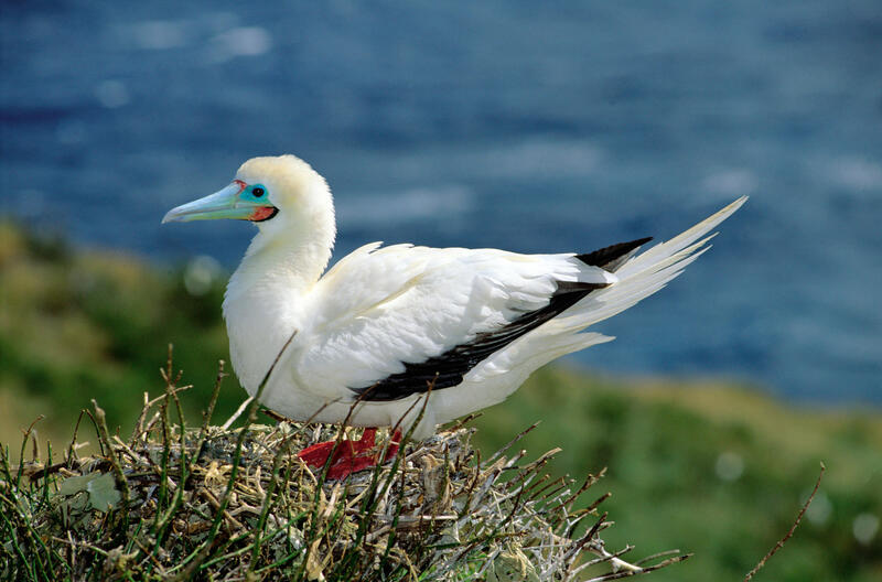
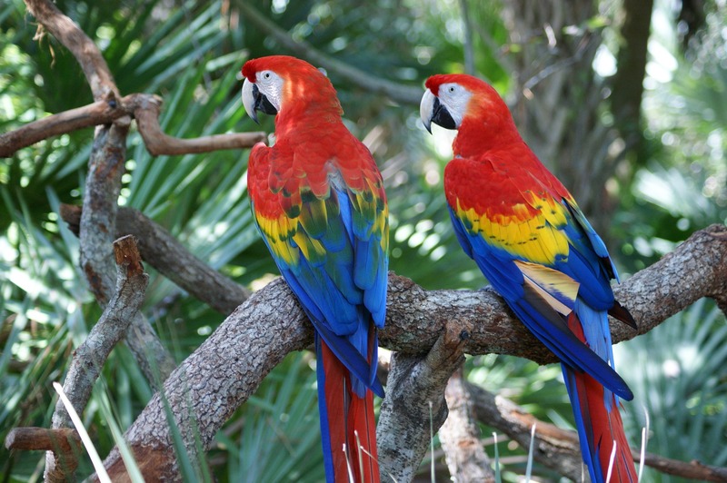
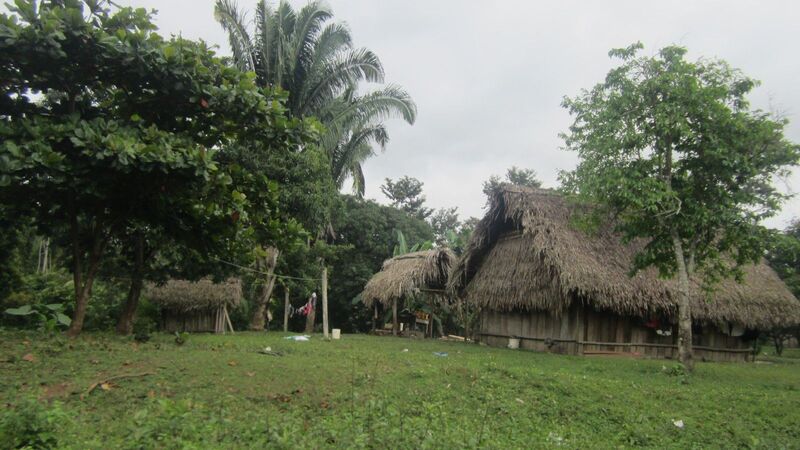
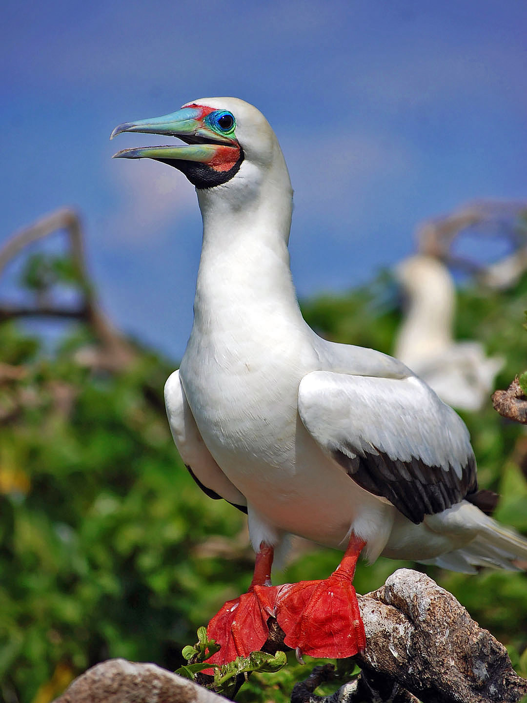
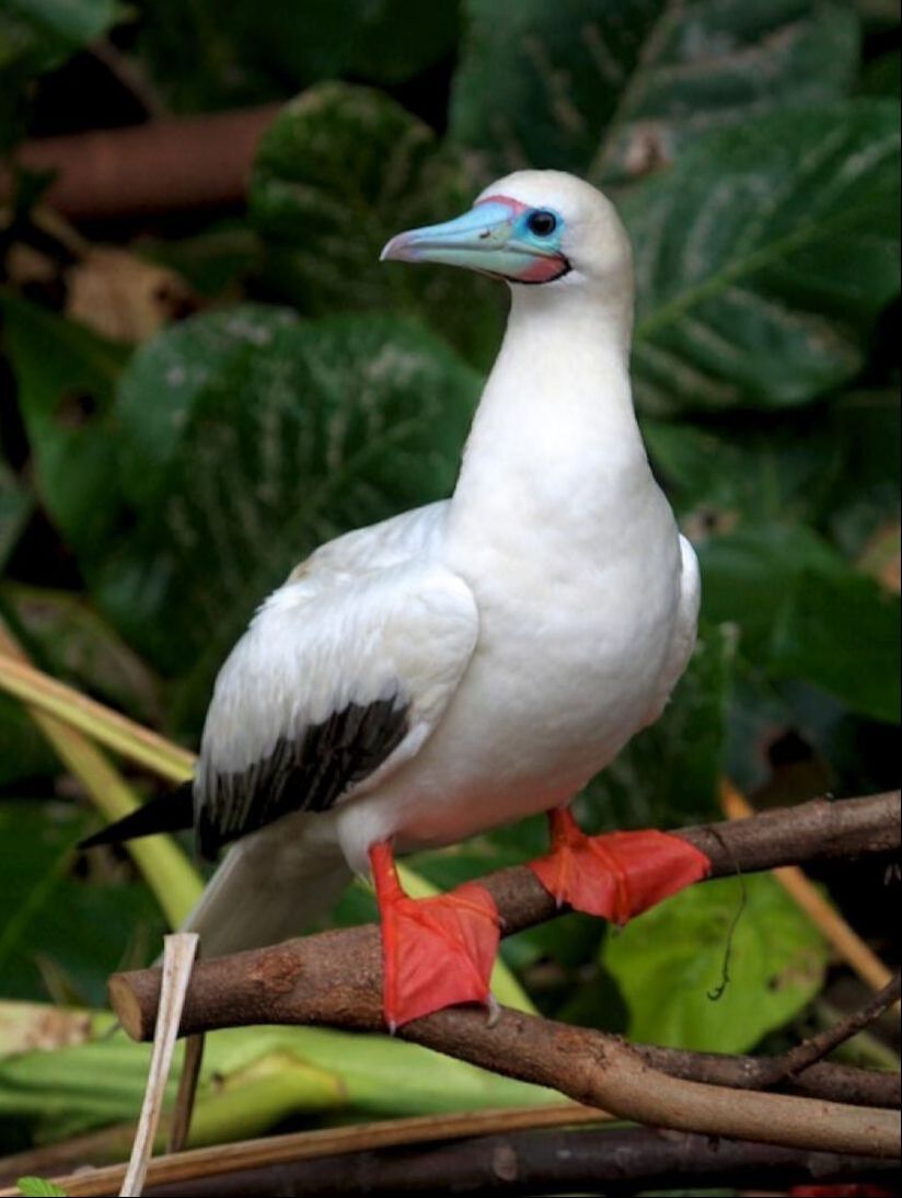
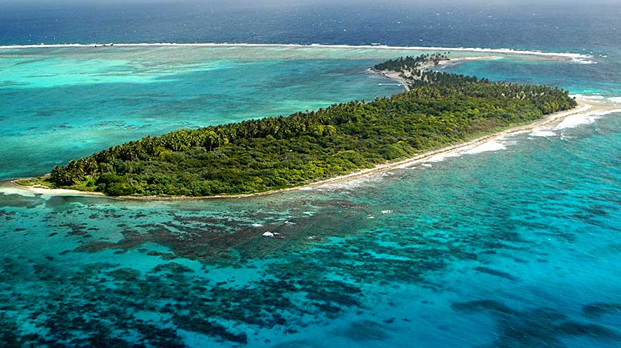
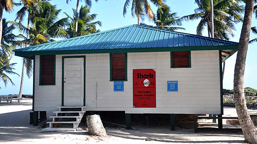
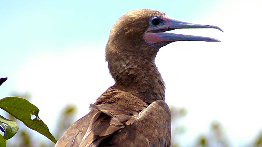
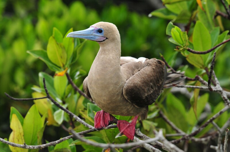
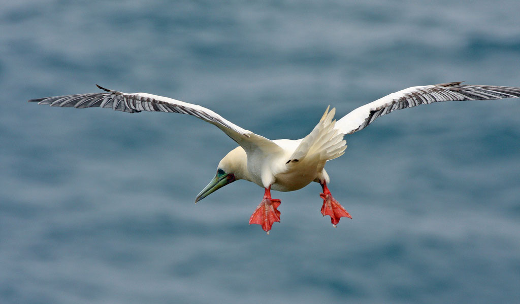
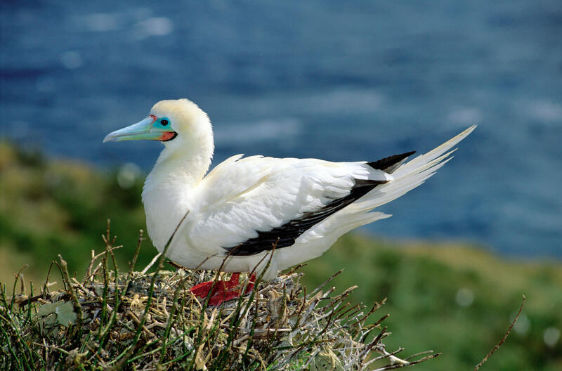
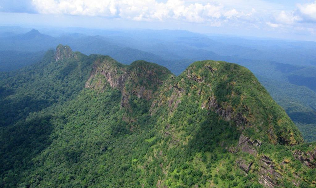
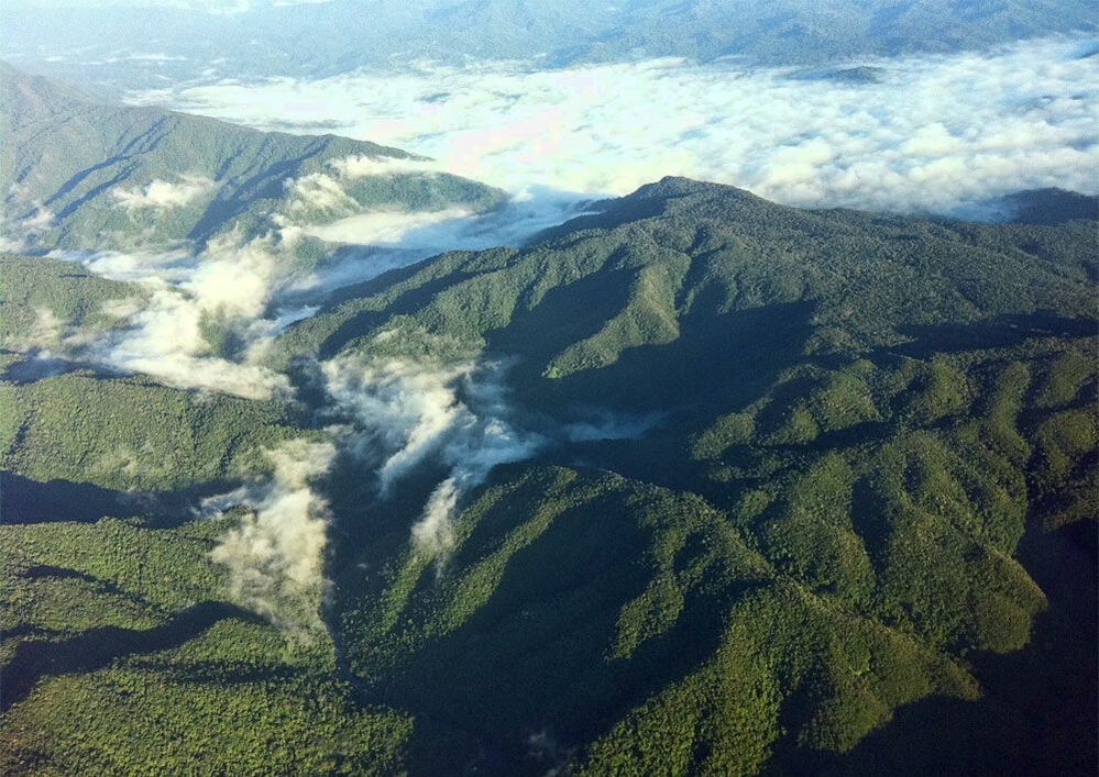
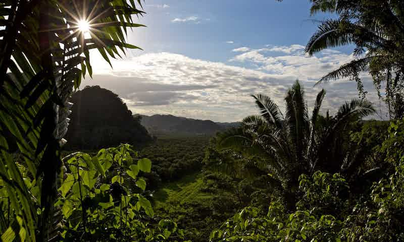
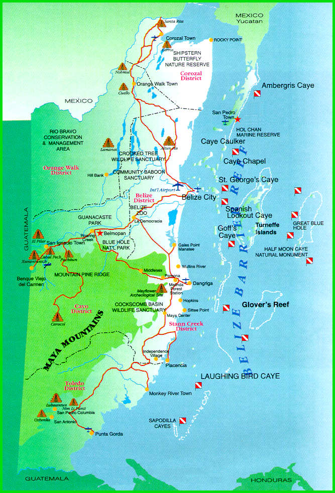
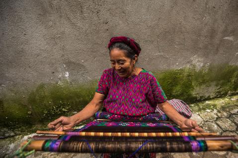
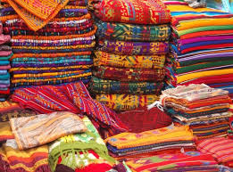
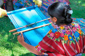
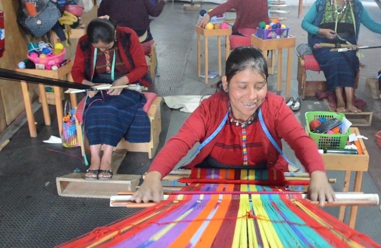
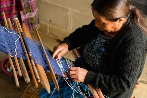
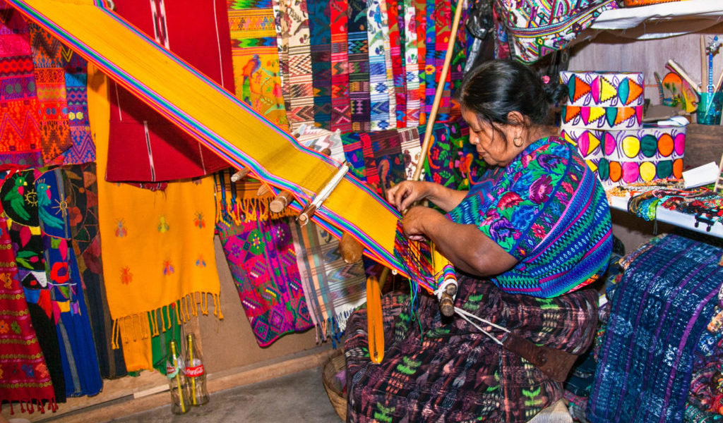
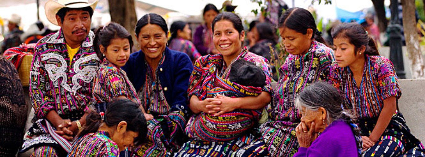


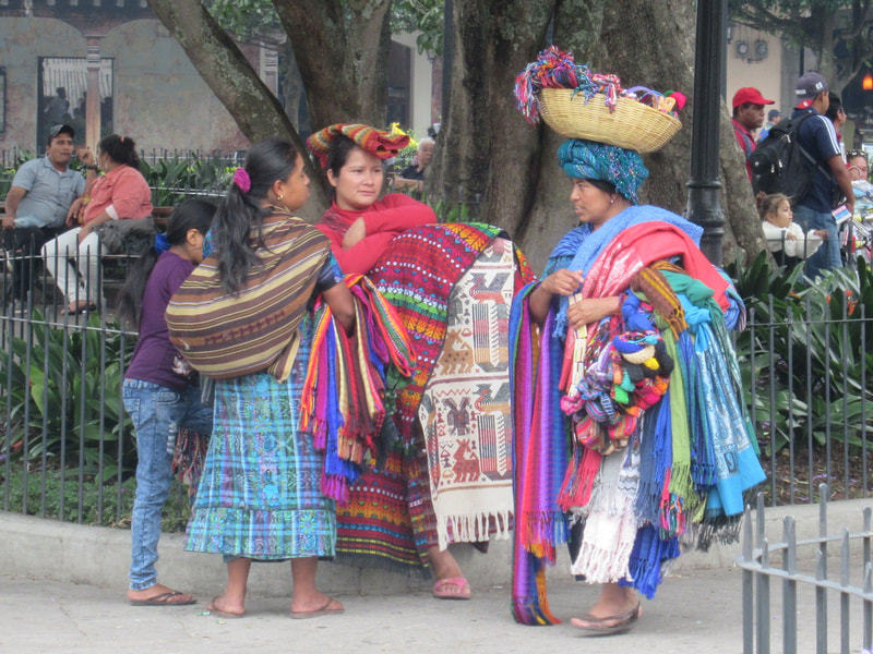
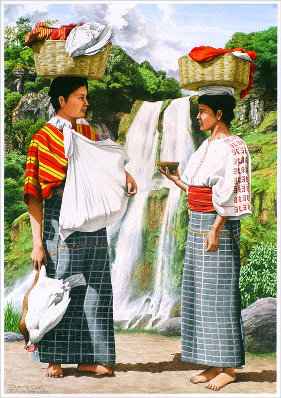
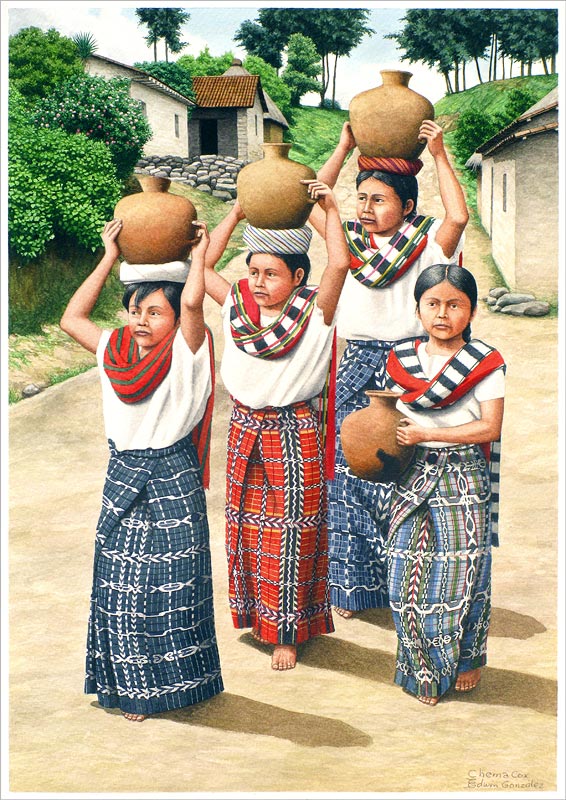

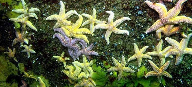
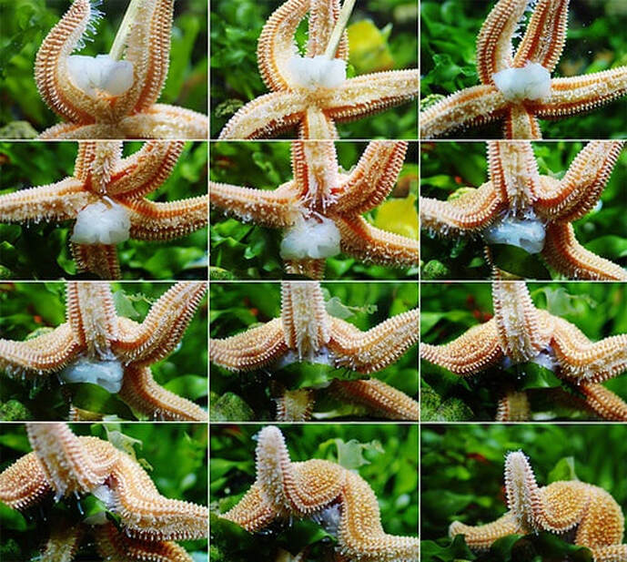
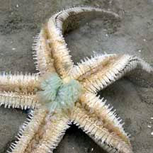
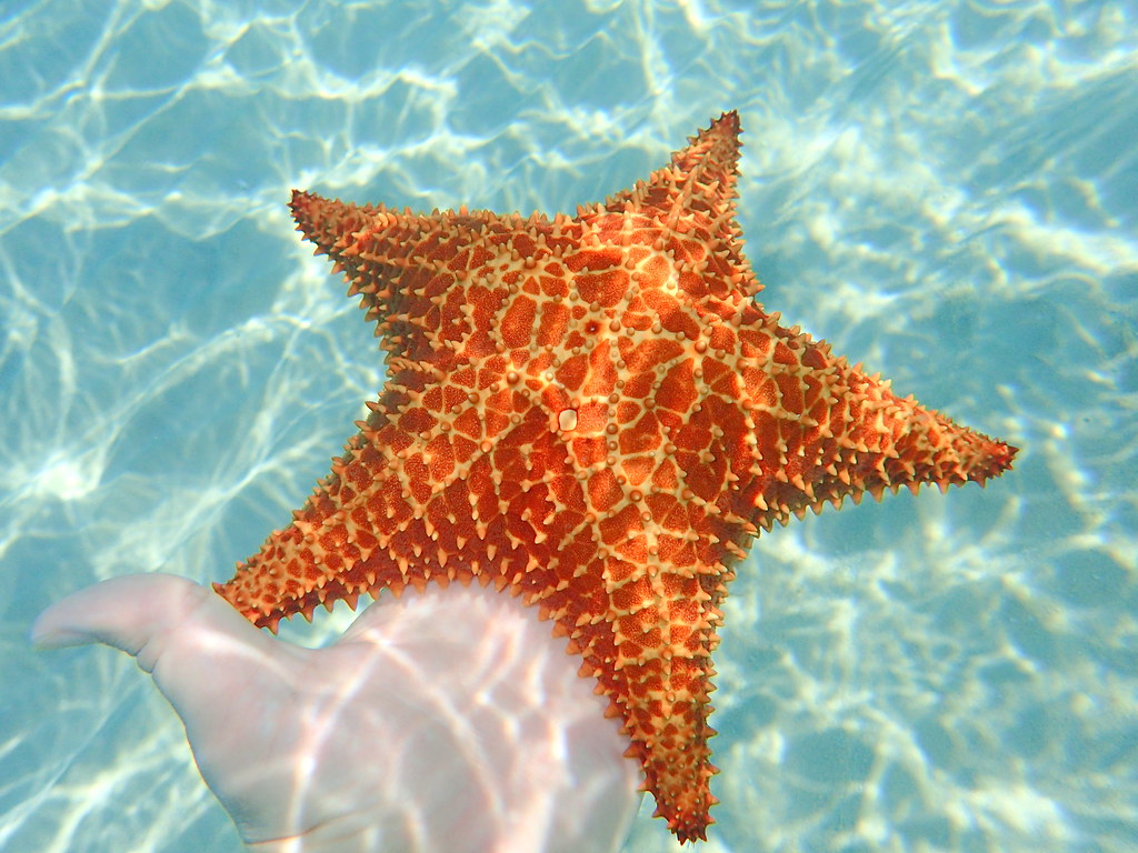
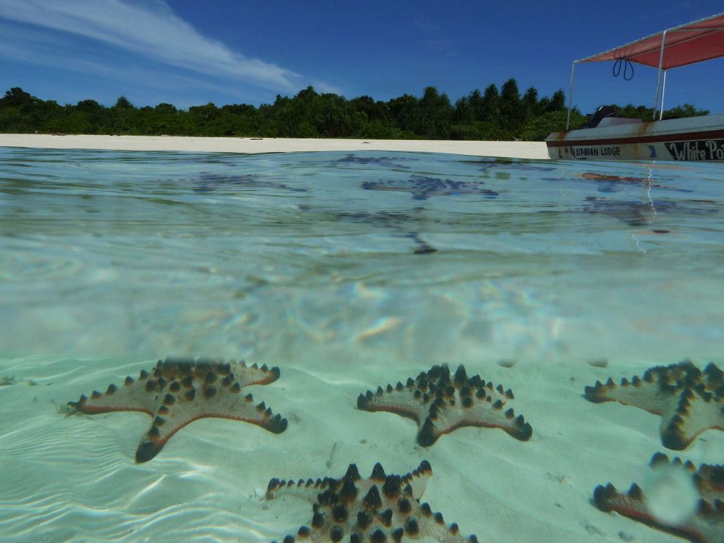
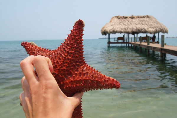


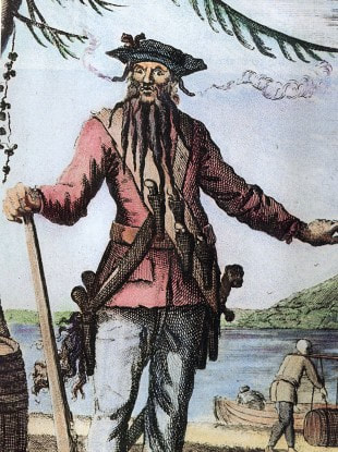
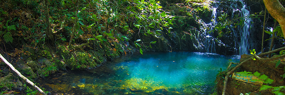
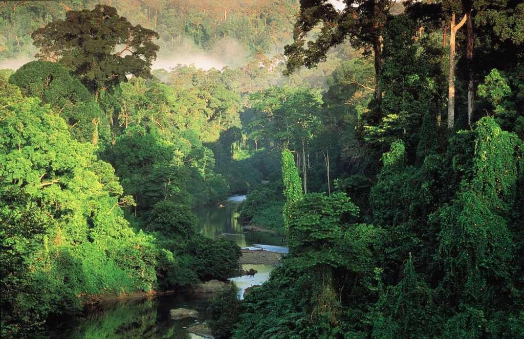
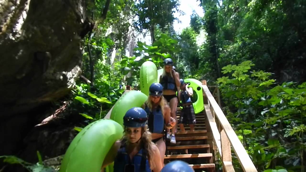

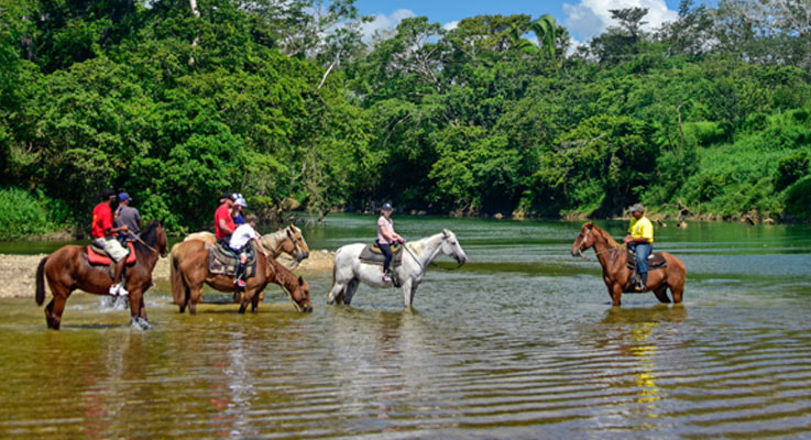
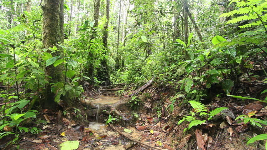
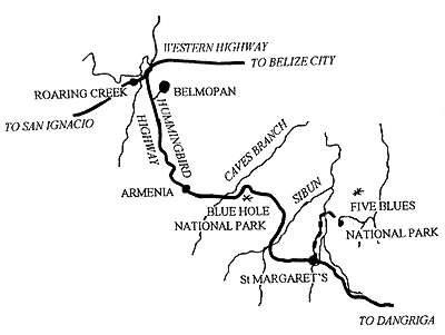

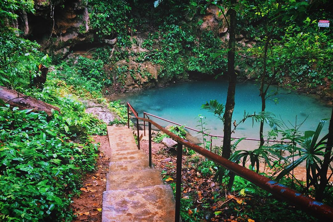
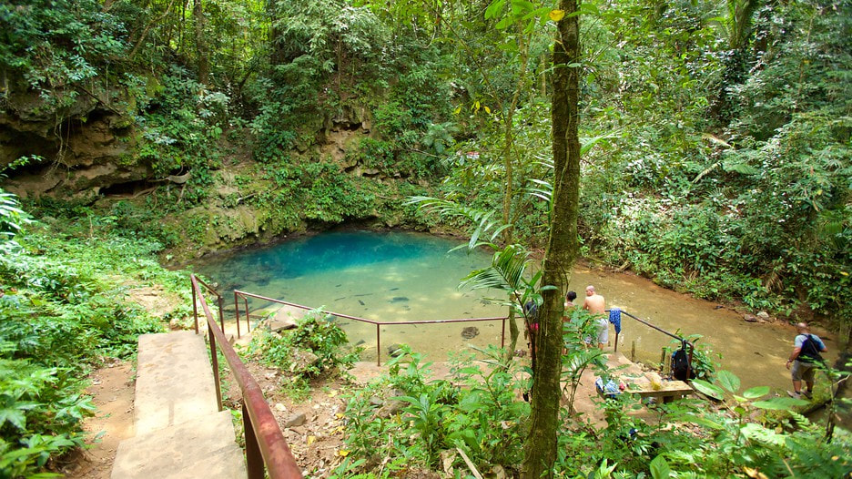
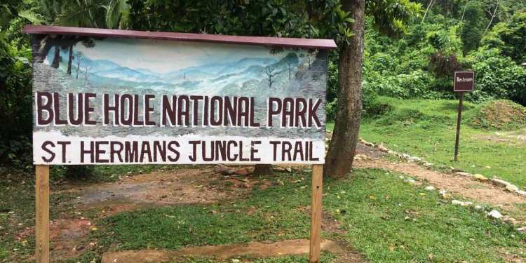
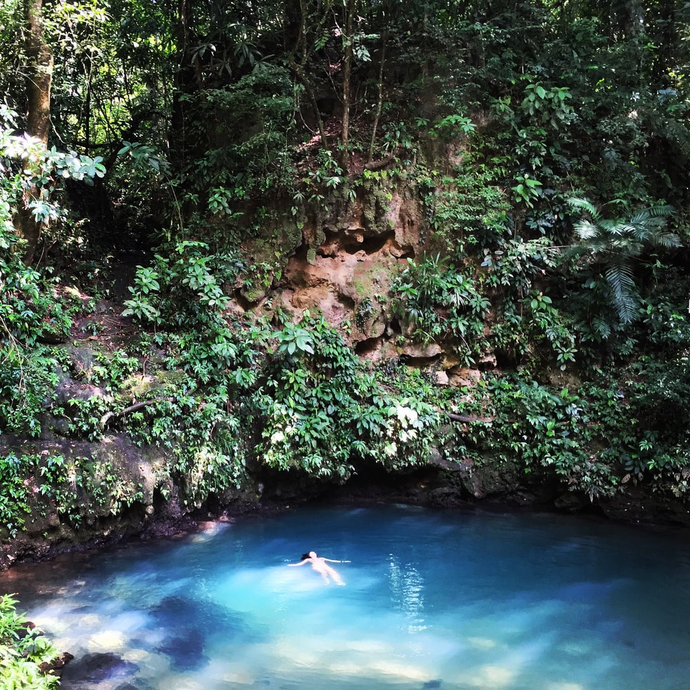
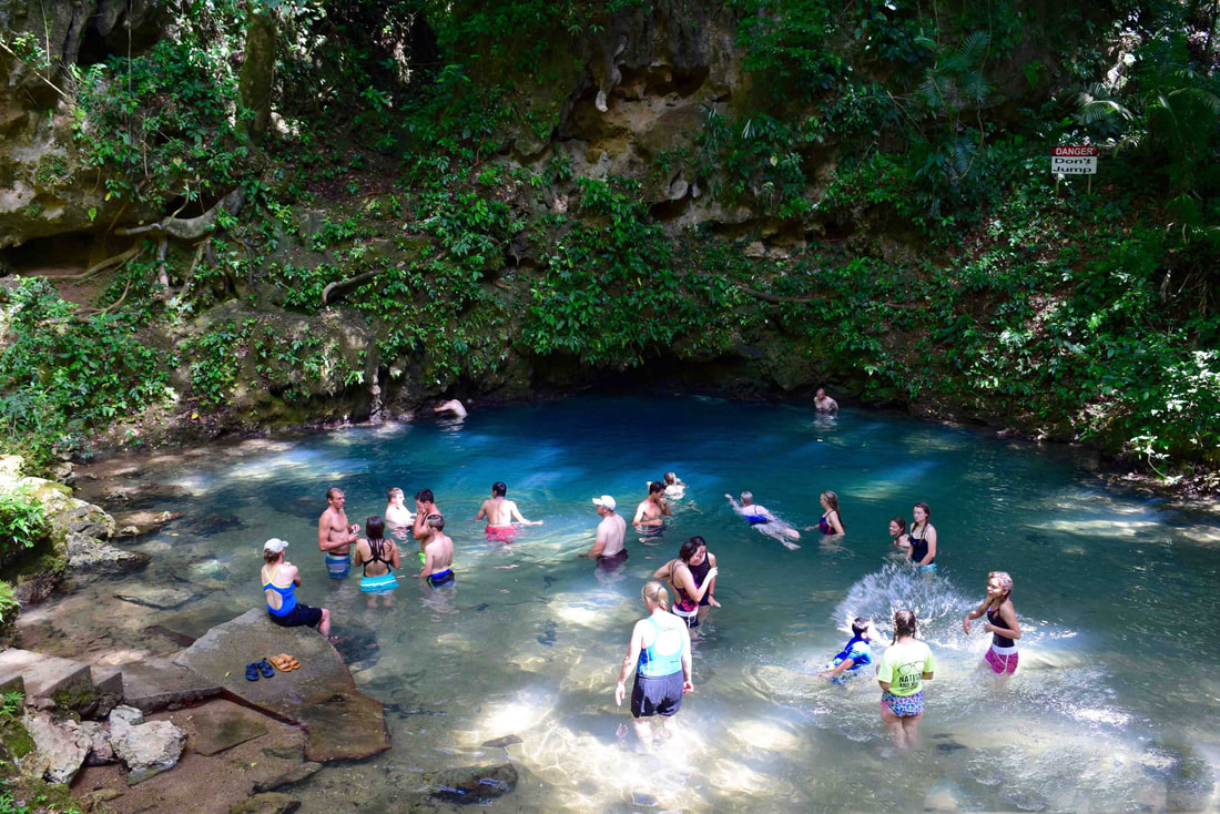
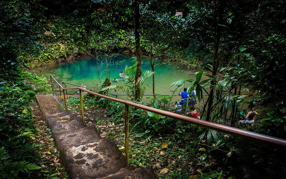
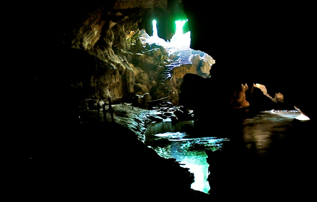
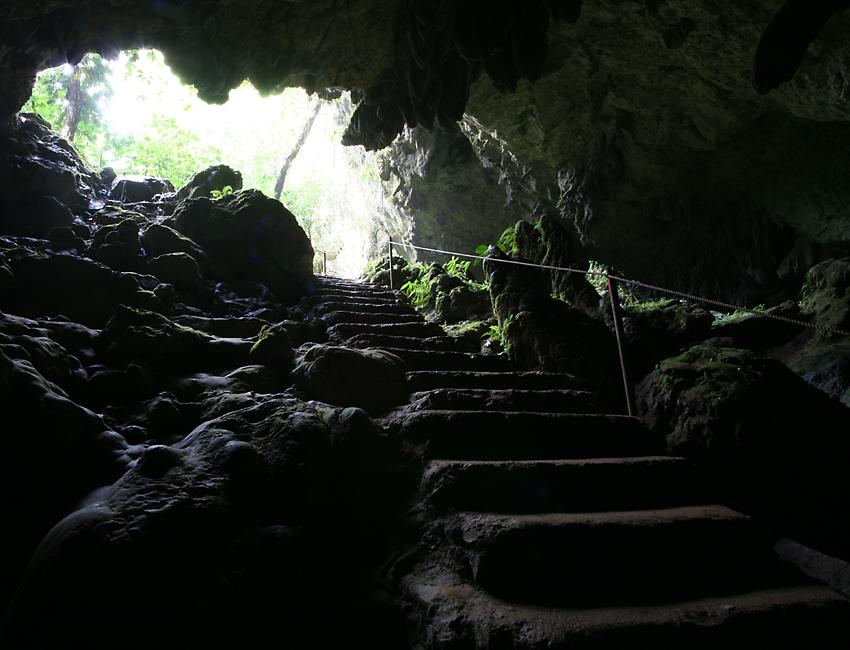
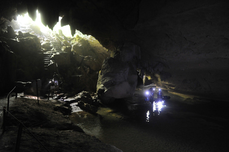
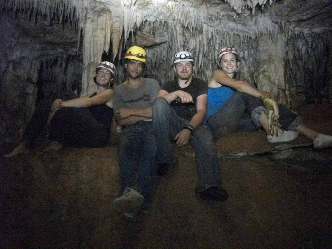
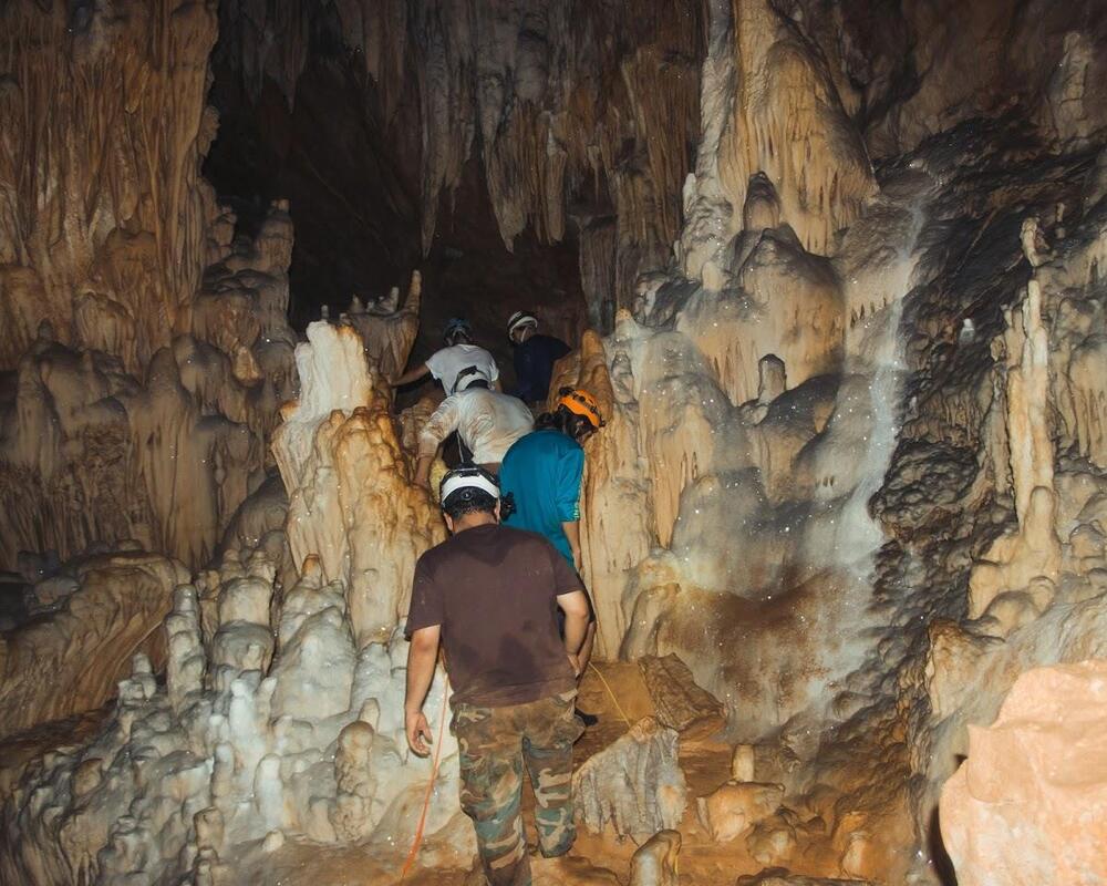
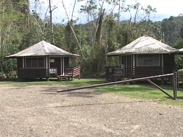
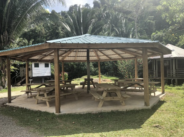
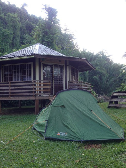
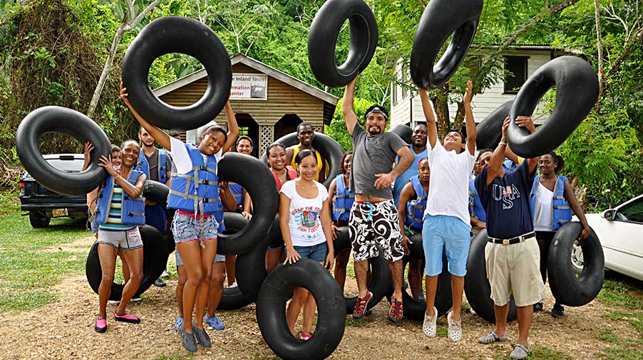
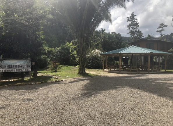
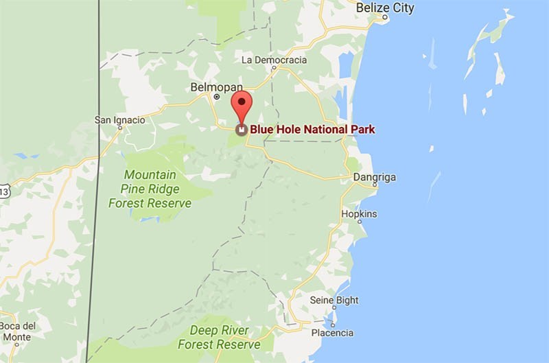

 RSS Feed

