Mayan Temple Adventures
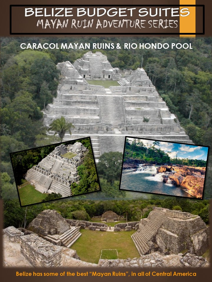
Caracol Mayan Temple
Description: Caracol is the largest Mayan site in Belize. The cities core covers about 15 square miles, the entire site covers about 75 square miles (larger than modern day Belize City). Caracol is located in the foothills of the Maya Mountains, about 25 miles south of Xunantunich in the Cayo District of Belize.
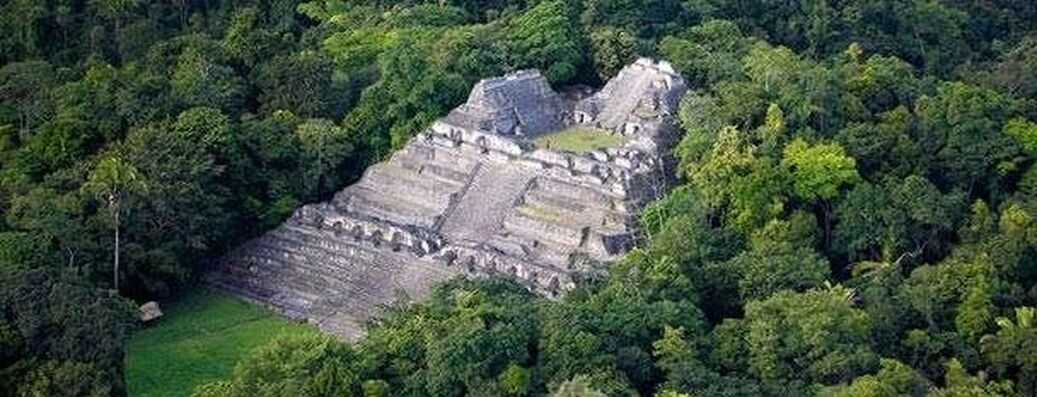
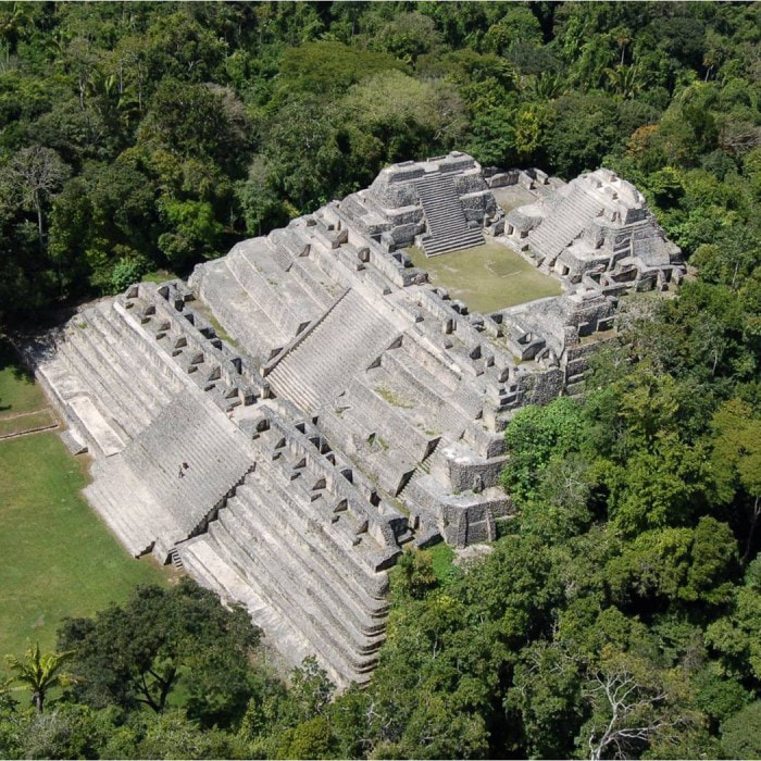
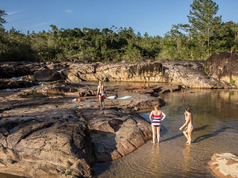
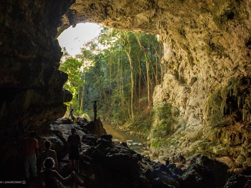
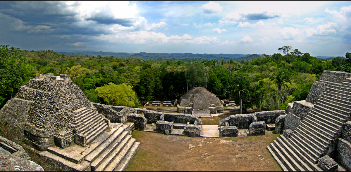
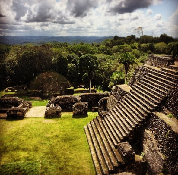
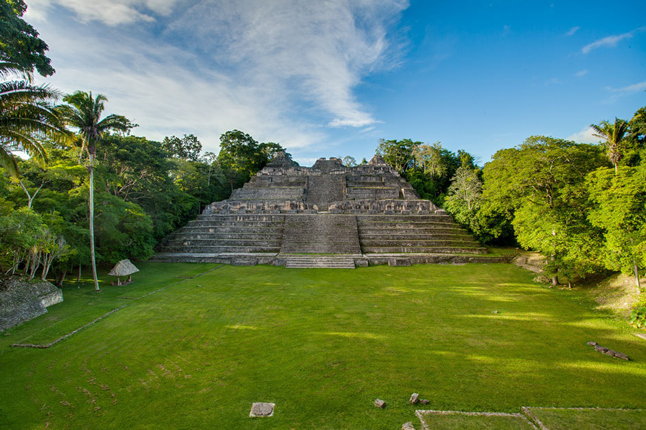
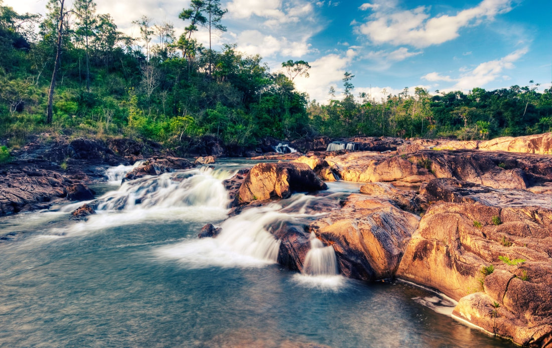
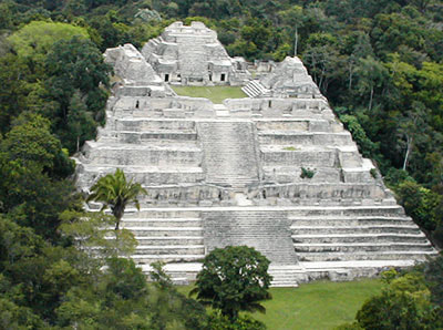
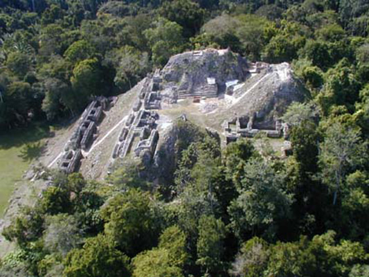
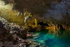
It was originally discovered in 1937 and continues to be excavated to this day. Within this sprawling metropolis lies 4 palaces, 3 temples, 24 known stelae, 24 alters, 5 plazas, 2 ball courts, reservoirs, causeways, an astronomic observatory, central acropolis, there are 35,000 known buildings and more than 100 tombs. One such temple is called Caana, or “Sky Temple”. The “Sky Temple” is the largest man-made structure in all of Belize (even down to this day - with a height of approximately 141 feet). Atop this temple, it offers breathtaking panoramic views of the forested preserve. Its ancient Mayan name was Uxwitza, meaning “Water Hill”. It’s modern name means “Snail”, because of the small winding roads (one must take), to get to the site. Caracol is accessed through the Mountain Pine Ridge, a beautiful area with flowing rivers, and hidden limestone caves. Due to Caracol’s remote location, the drive getting there is an adventure in of itself. The journey begins with a 1.5 hour drive from San Ignacio along dirt roads, surrounded by Mayan villages. After passing through gorgeous countryside, you find yourself face to face with an impressive testament to man’s ancient ability to survive and prosper. The history of its inhabitants is documented by scribes of the past in hieroglyphics and carvings on the monuments, stelae, wall facades, and altars that are found throughout the site. At its peak, Caracol’s population was about 15,000, with 120,000 to 180,000 living in Caracol’s suburbs (making it larger than modern day Belize City). After touring the ruins, refresh yourself with drinks and a picnic lunch. We then continue back through the Pine Ridge area where we take a break at the Rio Hondo Pools, a series of natural swimming holes, to cool down and relax in the clear water. We will also visit the Rio Frio Cave, which has the largest entrance of any cave in Belize, before heading back for the day.11 |
Caracol Mayan Ruins
Located on the western edge of the Maya Mountains within the Chiquibul Forest Reserve, Caracol lies on a high plateau of 500m above sea level that drops into a deep valley to the northwest and rises into hilly terrain to the southwest.
Caracol is a 2-½ hour drive from San Ignacio town. Take the Cristo Rey Road and drive towards Mountain Pine Ridge until you reach Douglas D’Silva Forest Station. From there drive another 45 minutes until you reach the Caracol Archaeological Reserve. The site was discovered in 1938 by Rosa Mai, a logger looking for mahogany. That same year the Archaeological Commissioner, A.H. Anderson, visited the site and named it ‘Caracol’ (Spanish for ‘shell’). Caracol – Although one of the most challenging Belize ruins to reach, the trip to Caracol is also one of the most scenic drives. It is the largest known Maya center within the country and holds “Canaa” (Sky Place), the largest pyramid or man made structure in Belize at 140 feet tall. A large part of Caracol is largely being discovered, but numerous carved monuments populate the area, and the main reservoir is an engineering masterpiece. |

