Mayan Temple Adventures
Cerros Mayan Ruins
The Cerros Mayan Ruins, can be reached by a short boat ride from Corozal Town. Boats can be hired in town from your hotel guest services. But you can drive to Cerros by road crossing the ferry at the south side of the town and from there passing such picturesque, lagoon side, villages as Chunox, Progresso and Copper Bank. This site is located within an area of extensive wetlands, therefore, it is advisable to use insect repellent and, if possible, long sleeve shirts and trousers
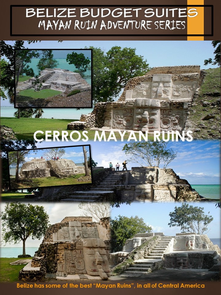
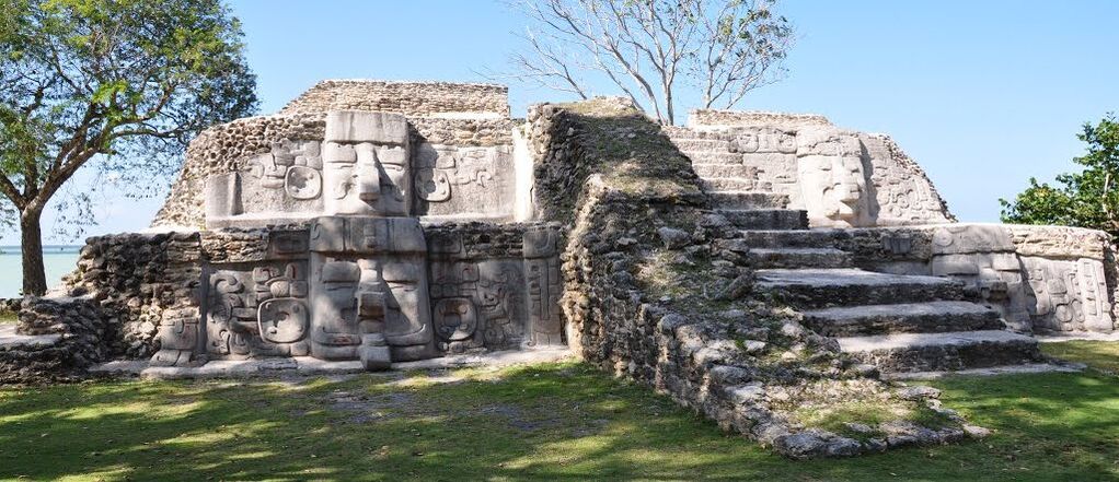
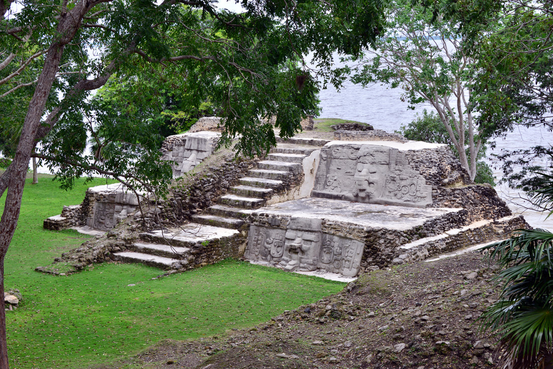
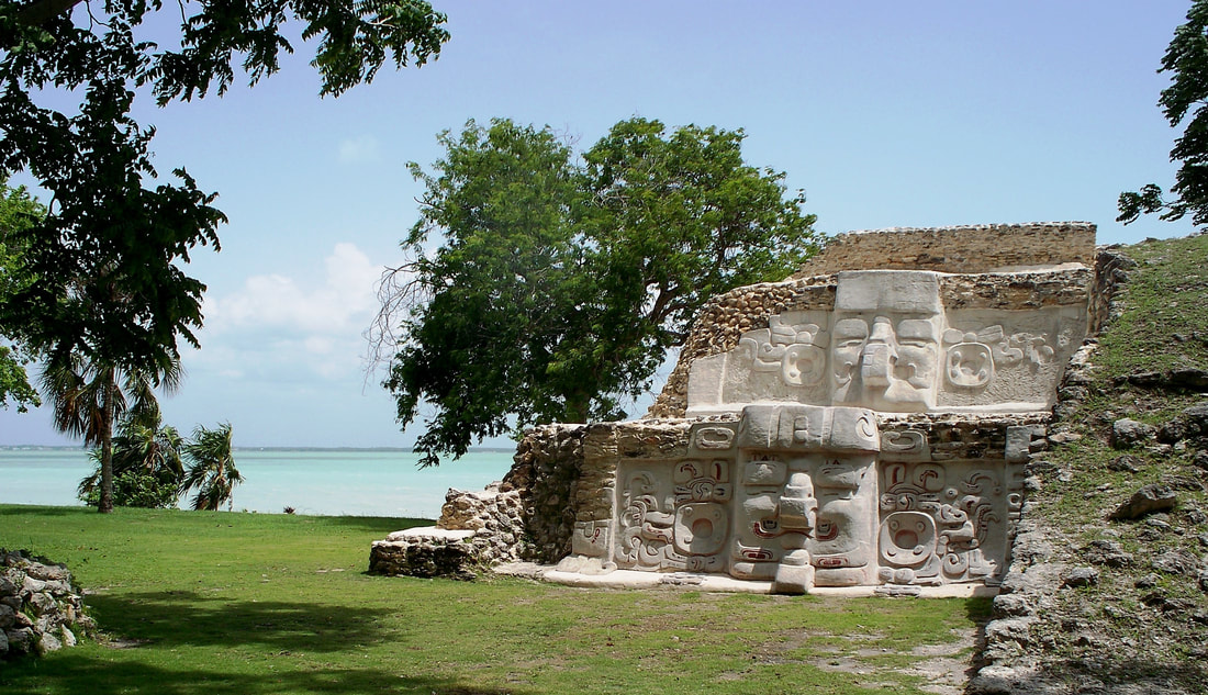
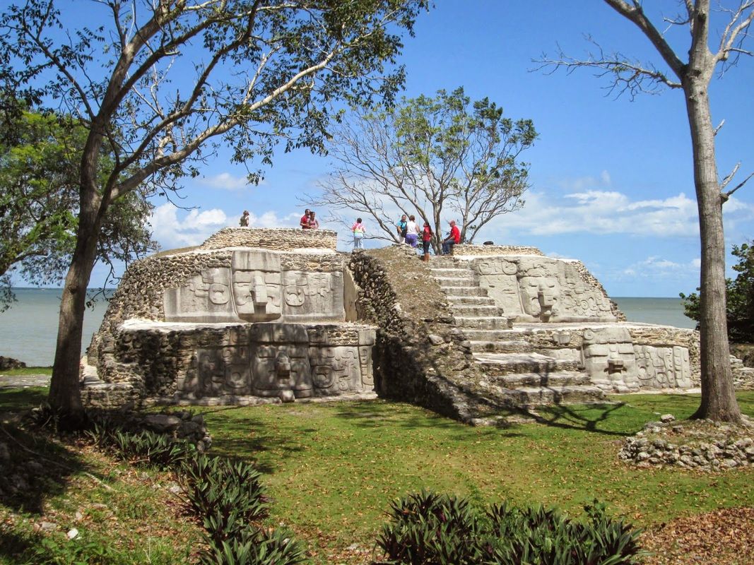
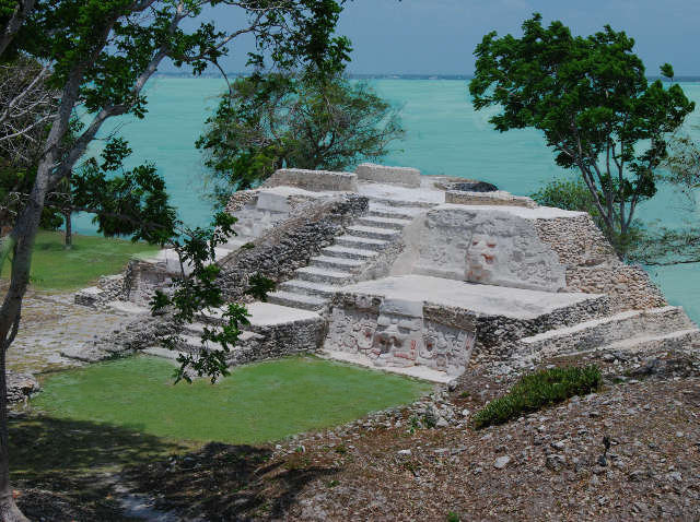
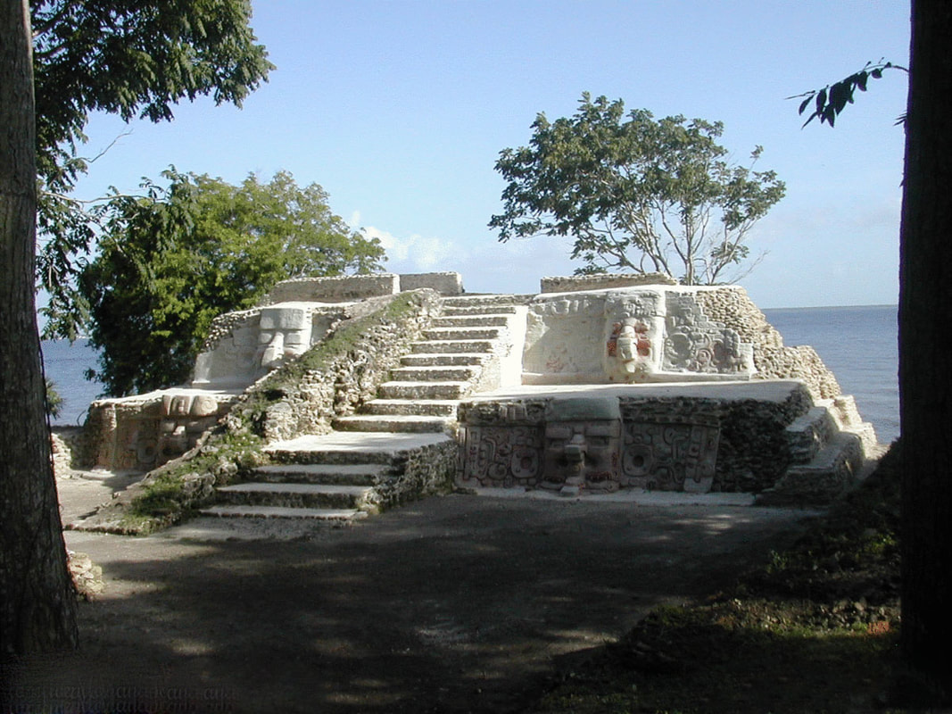
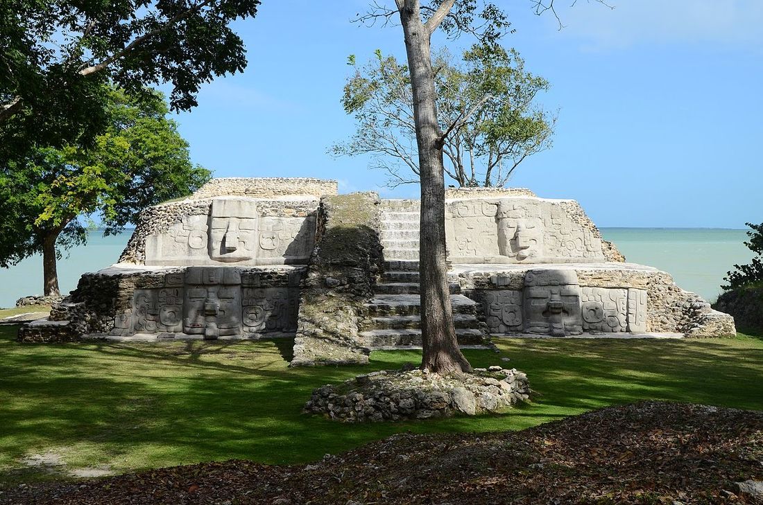
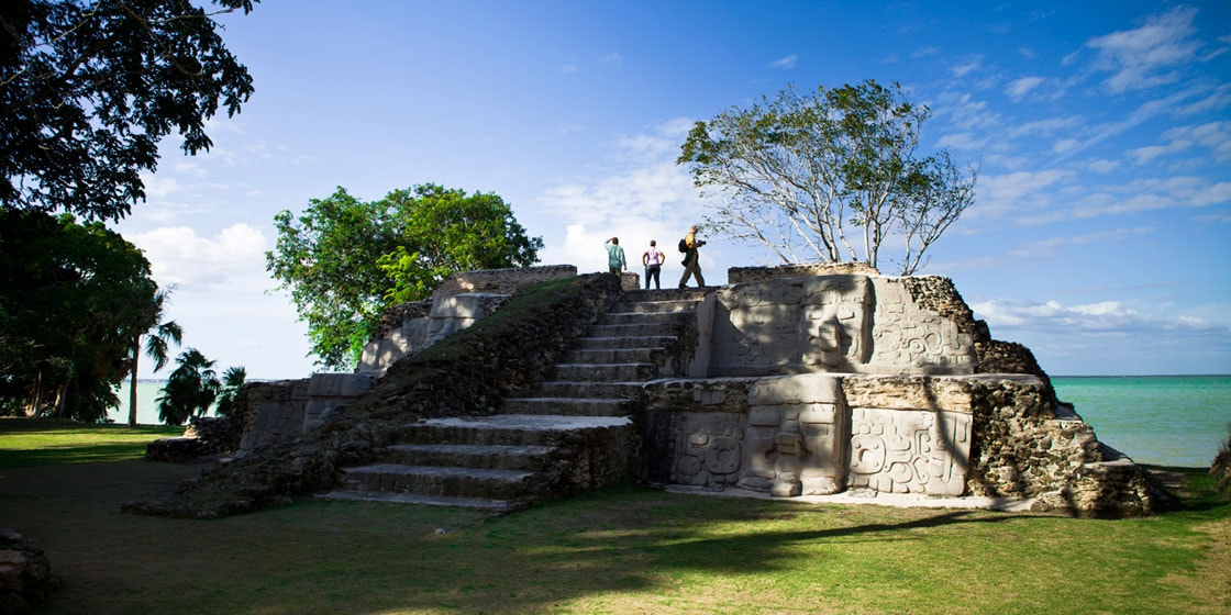
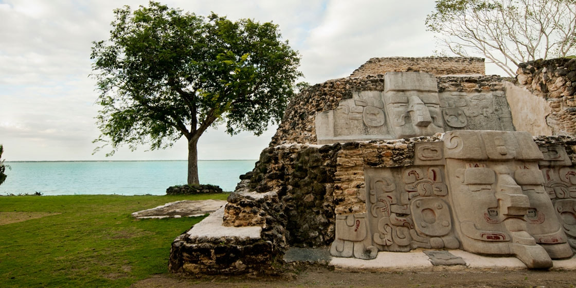
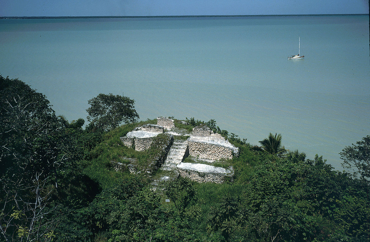
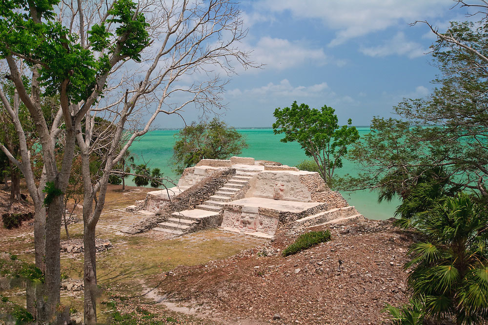
From 400 B.C. to 100 A.D., Cerros, or Cerro Maya, was a pivotal coastal trading center. With a Spanish name that translates to “Maya Hill”, Cerro Maya is located on a peninsula across from the town of Corozal and in the Bay of Chetumal. Archaeologists believe Cerros must not have survived long because of a shift in trade routes. At the height of its day, the city distributed salt from mining communities and traded chert tools. Today, Cerros is partially underwater, but what remains is stunning – including five temples (one that is 72 feet high) and related plazas, a large canal system and a beautiful panoramic viewed from the top of the temples. The Maya ruin at Cerros across from the Corozal Bay.Cerros was occupied in the late Preclassic period and underwent several modifications in the Classic period. For much of its history the site was an important trading center probably based on this sea-borne import of jade and obsidian. Its early decline was possibly few to the general shift of trade routes connecting the highlands and lowlands in the early classic. This Cerro Maya (Maya Hill) archaeological reserve comprises 52 acres and includes 3 large architectural complexes dominating several plazas flanked by pyramidal structures. Tombs and ball courts have been excavated and artifacts found within them attest to the importance of the site between 400 BC and A.D. 100. This site’s proximity to the sea has resulted in the erosion of two large structures. One of these mounds, structure 5C-nd, contains large stucco masks that have now been replicated to the Institute of Archaeology. Cerros was eventually surveyed, excavated and partially consolidated from 1973 to 1979 by David Freidel of Southern Methodist University. Freidel focused on the ceremonial center, and on the importance of trade at Cerro Maya. More recently the Belize Institute of Archaeology has conserved the Preclassic masks exposed my Freidel in the 1970s. |
Cerros Mayan Ruins
The Cerros Mayan Ruins, can be reached by a short boat ride from Corozal Town. Boats can be hired in town from your hotel guest services. But you can drive to Cerros by road crossing the ferry at the south side of the town and from there passing such picturesque, lagoon side, villages as Chunox, Progresso and Copper Bank. This site is located within an area of extensive wetlands, therefore, it is advisable to use insect repellent and, if possible, long sleeve shirts and trousers
From 400 B.C. to 100 A.D., Cerros, or Cerro Maya, was a pivotal coastal trading center. With a Spanish name that translates to “Maya Hill”, Cerro Maya is located on a peninsula across from the town of Corozal and in the Bay of Chetumal. Archaeologists believe Cerros must not have survived long because of a shift in trade routes. At the height of its day, the city distributed salt from mining communities and traded chert tools. Today, Cerros is partially underwater, but what remains is stunning – including five temples (one that is 72 feet high) and related plazas, a large canal system and a beautiful panoramic viewed from the top of the temples. The Maya ruin at Cerros across from the Corozal Bay. Cerros was occupied in the late Preclassic period and underwent several modifications in the Classic period. For much of its history the site was an important trading center probably based on this sea-borne import of jade and obsidian. Its early decline was possibly few to the general shift of trade routes connecting the highlands and lowlands in the early classic. This Cerro Maya (Maya Hill) archaeological reserve comprises 52 acres and includes 3 large architectural complexes dominating several plazas flanked by pyramidal structures. Tombs and ball courts have been excavated and artifacts found within them attest to the importance of the site between 400 BC and A.D. 100. This site’s proximity to the sea has resulted in the erosion of two large structures. One of these mounds, structure 5C-nd, contains large stucco masks that have now been replicated to the Institute of Archaeology. Thomas Gann was among the first to recognize the existence of Cerros, but it was not until 1969 that keep their Peter Schmidt and Joseph Palacio visited the site and registered it with the Institute of Archaeology. The land on which the site is located was originally acquired by a Dallas-based company, Metroplex Properties. They subsequently established a nonprofit organization known as the Cerro Maya foundation whose purpose was to excavate the ceremonial center as a tourist attraction. Thankfully the foundation went bankrupt and the large-scale development of the site never materialized. Cerros was eventually surveyed, excavated and partially consolidated from 1973 to 1979 by David Freidel of Southern Methodist University. Freidel focused on the ceremonial center, and on the importance of trade at Cerro Maya. More recently the Belize Institute of Archaeology has conserved the Preclassic masks exposed my Freidel in the 1970s. |

