|
Rivers of Belize These are the main rivers of Belize. Belize has a total of 35 major and minor river catchments or watersheds which drain into the Caribbean Sea. Here's 21 rivers to take a look at................ONLY IN BELIZE!
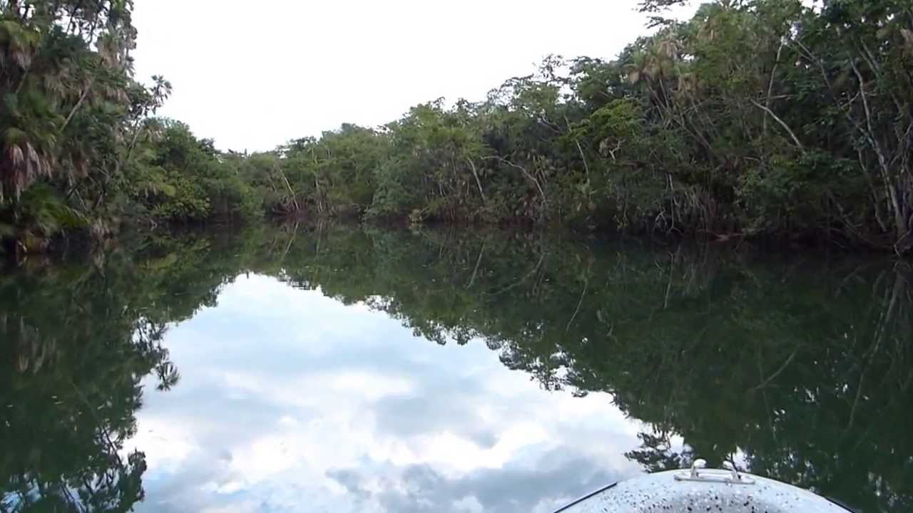
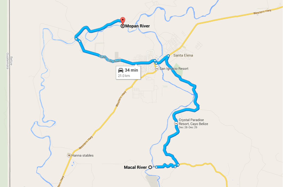
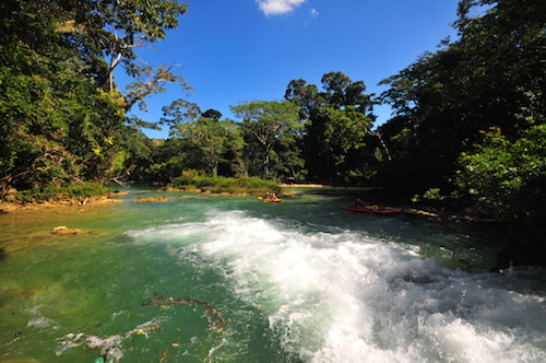
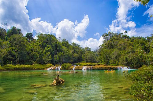
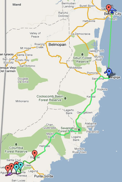
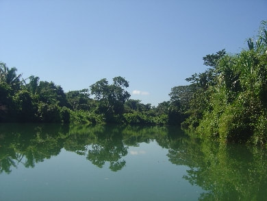
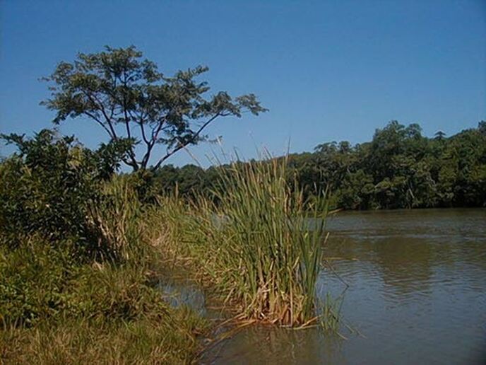
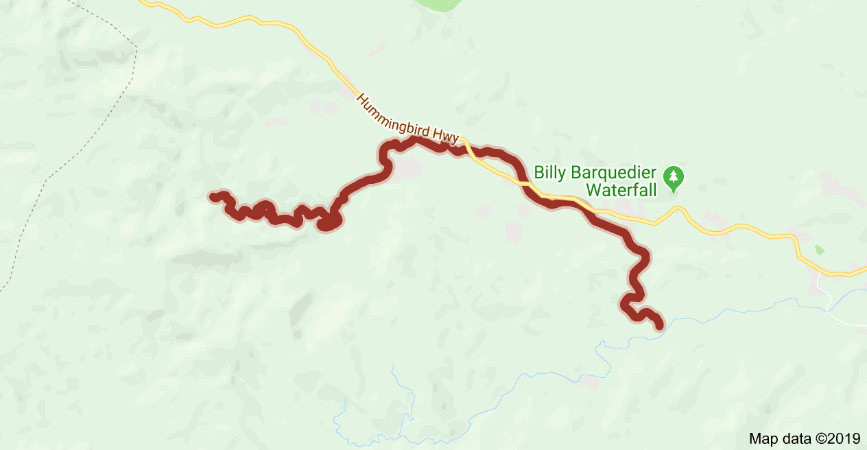
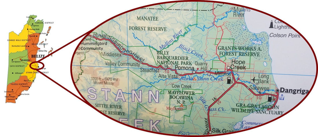
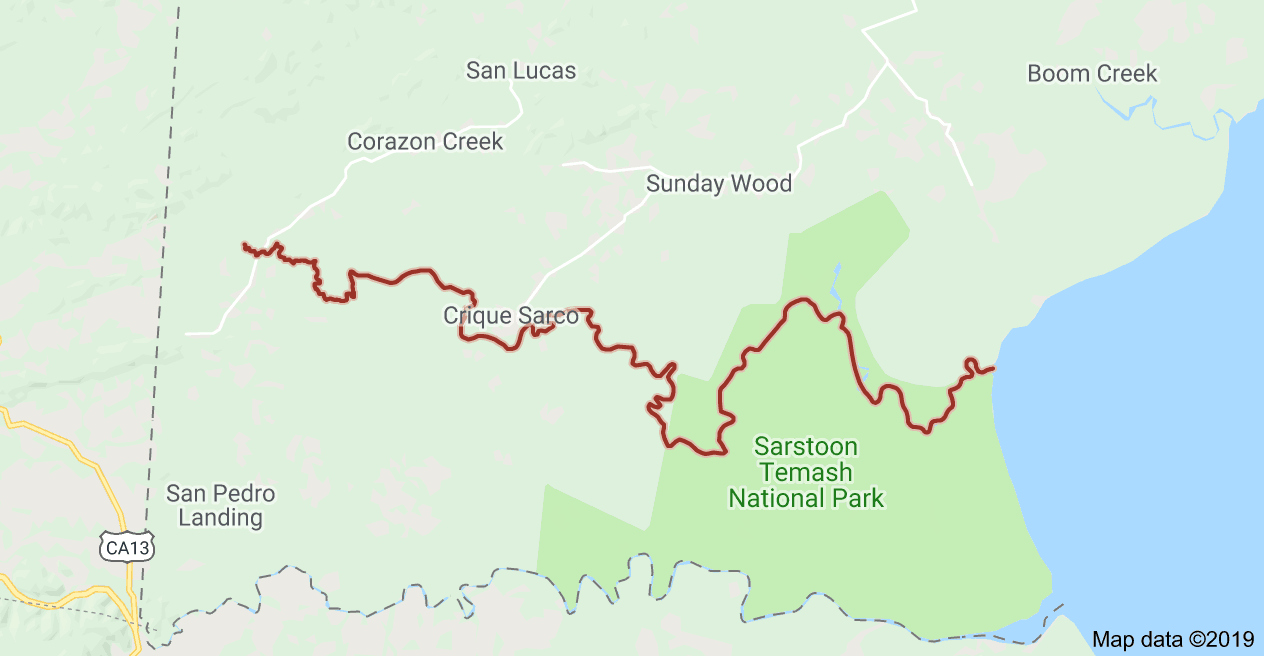
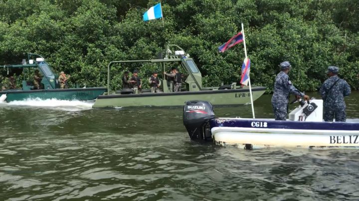
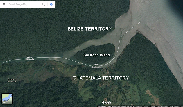
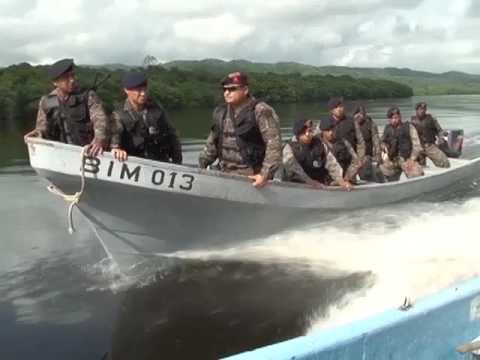
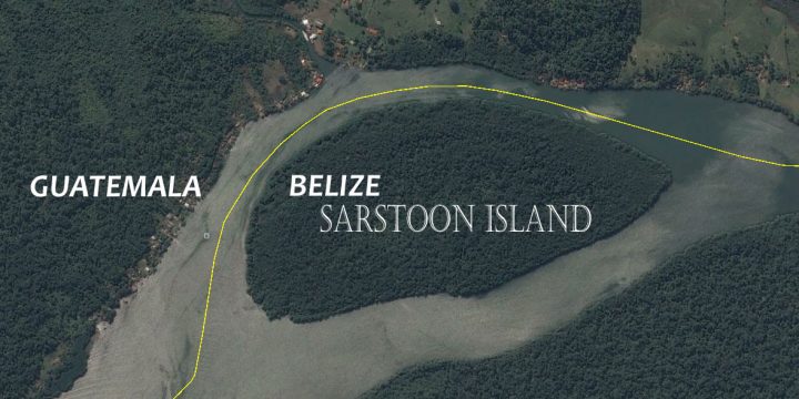
There are twenty-one (21) major rivers in Belize. The location and flow of these result from the geographical features of the land and the amount of precipitation in the area. NORTHERN BELIZE (3) In the north where the land is flat and the rainfall is lower, there are only three major river systems. These are the Rio Hondo, Boots River and the New River which flow sluggishly in a north-easterly direction. CENTRAL & SOUTHERN BELIZE (18) In the central and southern areas of the country, where there is more rainfall and more mountainous terrain, there are eighteen major rivers. The most northerly of these is the Belize Old River while the most southerly is the Sarstoon. These rivers flow in an easterly direction from headwaters in the Maya Mountains to estuaries in the Caribbean Sea. Because of rain, most communities in Belize have access to a supply of water from the natural environment but these waters may not be potable at source. Belize City, Dangriga and Belmopan have water works which access and treatwatersfrom major rivers. Other communities like Benque Viejo Town, San Ignacio, Corozal Town, Orange Walk Town and Punta Gordaget their supply from underground. Belize River, Belize 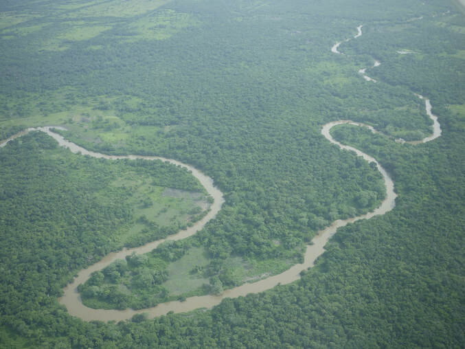 Belize Old River The Belize River runs 180 miles through the center of Belize. It drains more than one-quarter of the country as it winds along the northern edge of the Maya Mountains to the sea just north of Belize City. The Belize river valley is largely tropical rain forest. Also known as the Old River, the Belize River begins where the Mopan River and Macal River join just east of San Ignacio, Belize. The Belize River – Mopan River Catchment contains over 45 percent of the population of Belize. The Belize River, in spite of 78 runs or rapids, is passable via the Mopan to the Guatemalan border. It served as the main artery of commerce and communication between the interior and the coast until well into the twentieth century, and has long been associated with forestry of logwood (for dye) and of mahogany which survives in small stands. Bladon River, Belize 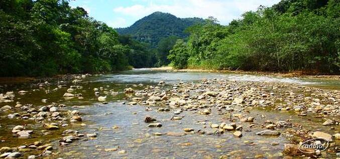 Bladen Branch Deep River, Belize 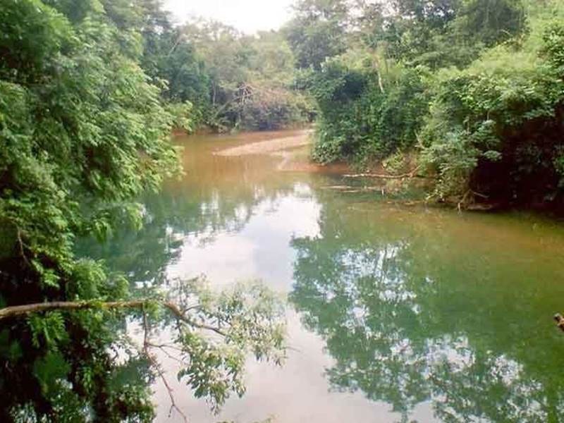 Deep River Deep River (Deep River) is a stream in Toledo District (Toledo). Deep River is also known as Deep River, Rio Deefs, Rio Hondo, Río Deefs, Río Hondo. Its coordinates are 16°16'60" N and 88°39'0" W in DMS (Degrees Minutes Seconds) or 16.2833 and -88.65 (in decimal degrees). Manatee River, Belize 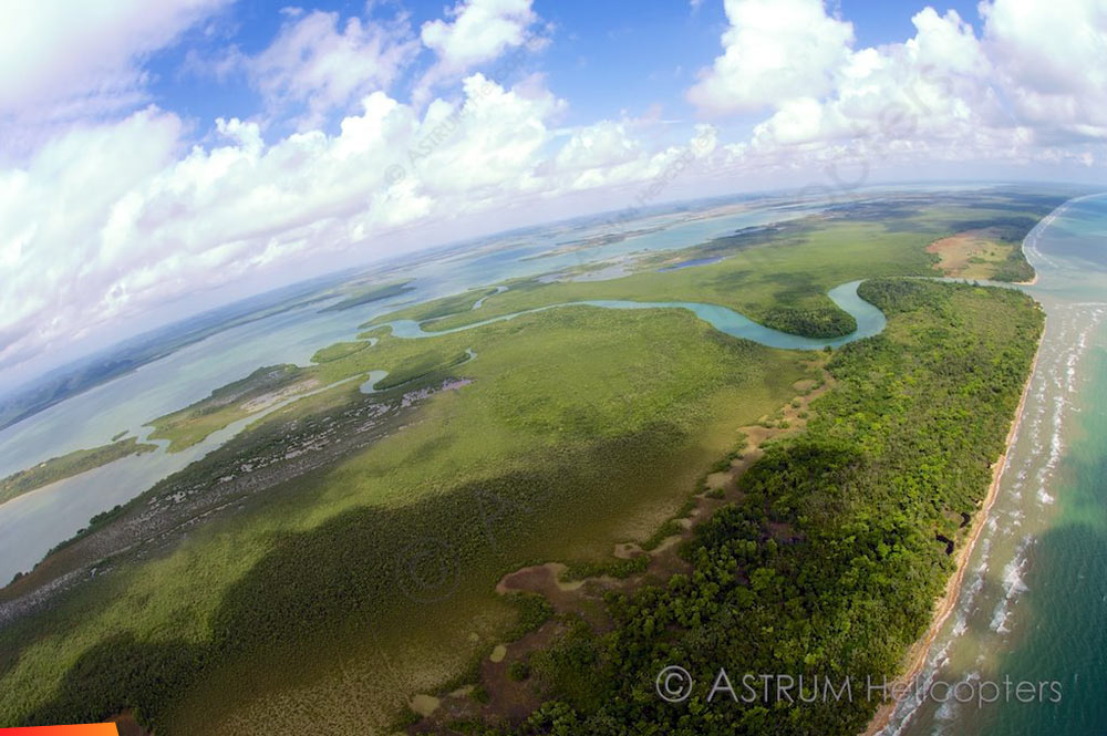 Manatee River Manatee River is a coastal watercourse in the Belize District of Belize. It consists of two parts, one on the western side of the Southern Lagoon, and the other connecting the eastern side of the Southern Lagoon with the Caribbean Sea (sometimes called the Manatee Bar River). The beach on either side of the mouth of the river is a nesting site for Loggerhead and Hawksbill sea turtles. The river was originally known by the Maya as the Texach. Macal River, Belize 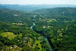 Macal River The Macal River is a river running through Cayo District in western Belize. Sites along the river include the ancient Mayan town of Cahal Pech and the Belize Botanic Gardens. The Macal River discharges to the Belize River. There are several tributaries to the Macal River including the following streams: Privassion, Rio On, Rio Frio, Mollejon and Cacao Camp. The size of the Macal River catchment basin is approximately 1,492 square kilometers. The Macal River rises in a rugged portion of the Maya Mountains and flows in a northerly direction where it joins with the Mopan River to form the Belize River. Lying to the east of the Macal River Basin is the Cockscomb Basin WIldlife Sanctuary, established specifically for conservation of the jaguar. Due to the steep terrain of the headwaters region and the high rainfall of the upper Macal Basin, the Macal River is subject to rapid stage height rise, contributing significantly to the downstream flooding of the Belize River. By legend, the river is named after a beautiful young girl Macall, an uncommon name. The lower river is navigated year-around with canoes. North of the Western Hwy is the Mopan River - South of the Western Hwy is the Macal River. Mopan River, Belize 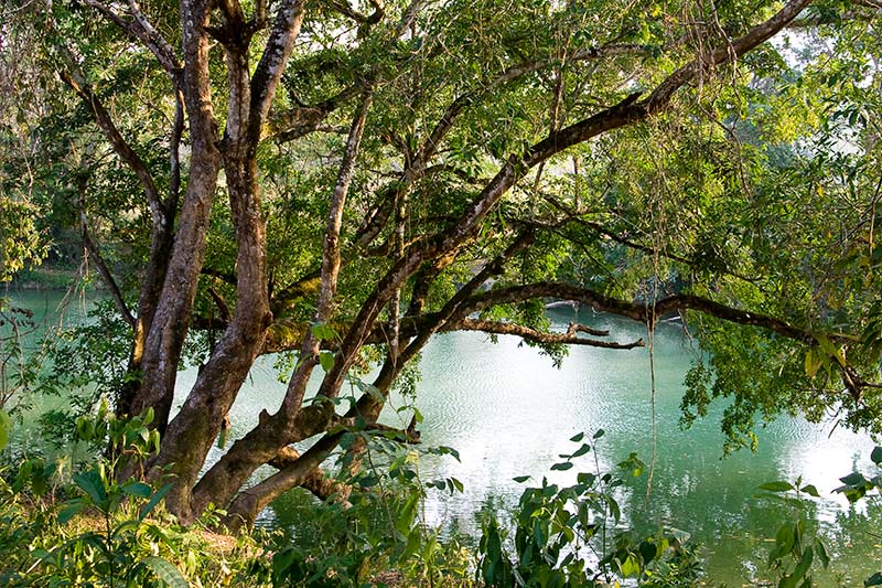 Mopan River The Mopan River is a river in Central America spanning the Peten Department of Guatemala and the Cayo District of Belize. It merges with the Macal River at Branch Mouth, Belize, forming the Belize River, which ultimately discharges to the Caribbean Sea. The drainage area of the combined watershed is 3,642.6 sq miles. Tributaries of the Mopan include Chiquibul Branch, Ceiba Grande, Salisipuedes, and Delores. Moho River, Belize 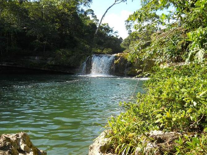 Moho River The Moho River is a river in Guatemala and Belize. The river is navigable year round between Santa Teresa and the mouth. The Moho River descends from the Maya Mountains to the Caribbean Sea. Journeying along you will experience both the calm meandering water that reflects the intense green of the jungle to stretches of rapids, pour-overs and spectacular waterfalls. Venturing into this remote region of Belize is a unique way to experience the traditional village life of the Maya people and learn about the habits of the wildlife. Kayaking the Moho River Kayaking the Moho River Located deep in the lush rainforests of Southern Belize, is the Moho River. Kayaking the emerald waters of this beautiful river offers an opportunity to explore one of the last remaining untouched regions of the country. What type of wildlife can you expect to see on the Moho River? We often see howler monkey, kinkajou, iguana and we also see so many varieties of tropical birds. The raptors are a highlight with sightings such as laughing falcon, black hawk eagle and ornate hawk eagle. Do guests need previous kayak experience to experience the Moho River? No previous experience is needed to experience this river. The guides provide excellent instruction in how to handle the boats and how to read the water. The first day on the water is pretty mellow, current and easy rapids so it is the perfect warm up. Most of the whitewater is what we call pool-drop so it is very forgiving and even if someone does wipe out on a run, typically they just end up floating in a calm pool below laughing. People who join this trip should know how to swim and be comfortable around water. Monkey River, Belize 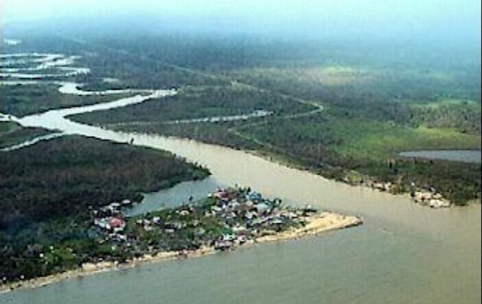 Monkey River Monkey River has been rated one of the top rivers in Southern Belize. Tropical birds, butterflies, crocodiles, iguanas, and of course howler monkeys are just a few of the wildlife that visitors see on this river. Ten interesting things to know about Monkey River 1.) Monkey River Village lies on the coast of Southern Belize, home to about 200 people. 2.) Monkey River is a perfect to experience amazing flora and fauna of southern Belize. 3.) Families of howler monkeys can be seen and heard along the rivers edge. 4.) Nature Trails, Manatee watching, and Bird watching are tours on Monkey River. 5.) Hiking along Monkey River, you can encounters tropical birds, gibnuts, deer, ocelots, tapirs, and agoutis. 6.) Monkey River was critical to the banana industry in the 1800’s. 7.) The river banks in Monkey River are perfect for birding. 8.) The Monkey River tour is a 15 miles boat ride from Placencia. Mullins River, Belize 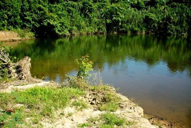 Mullins River Mullin River is the name of both a river and of a village on that river in the Stann Creek District of Belize. The village of Mullins River is located at the mouth of the river of the same name on the coast of the Caribbean Sea, north of Dangriga. At one time the Mullins River provided the only convenient route for bringing out produce from the Stann Creek Valley area and the town was prosperous and well populated. New River, Belize 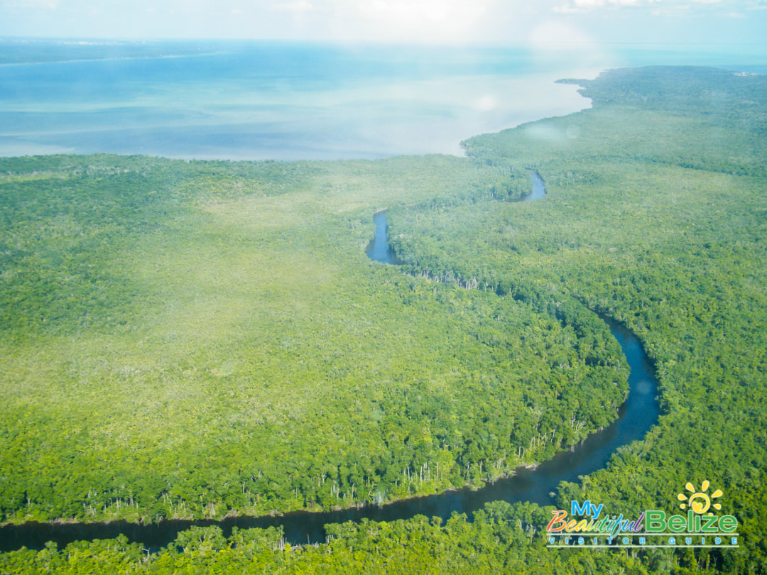 New River The New River, also Rio Nuevo, is a river in northern Belize. As the longest river that is entirely confined to Belize, it drains primarily the eastern part of the Orange Walk District during its north-northeasterly course and empties into the Chetumal Bay. The river also forms the New River Lagoon, the largest body of fresh water in Belize, just east of the Maya temples of Lamanai. The New River is a habitat for numerous types of fish, birds, as well as crocodiles. Rio Grande River, Belize Rio Grande River The Rio Grande River begins in the southern hills of the Maya Mountains in the Toledo District of Belize. From that tropical beginning the clear waters stream down, through the Machaca Forest towards the most southern reaches of the Port Honduras Marine Reserve before blending in perfectly with the greater Caribbean Sea. Amongst the tributaries which feed below Big Falls into the Rio Grande River is the Jacinto Creek. Be prepared for rapid change in river width, for the river widens considerably as it heads for the sea. Rio Hondo River, Belize 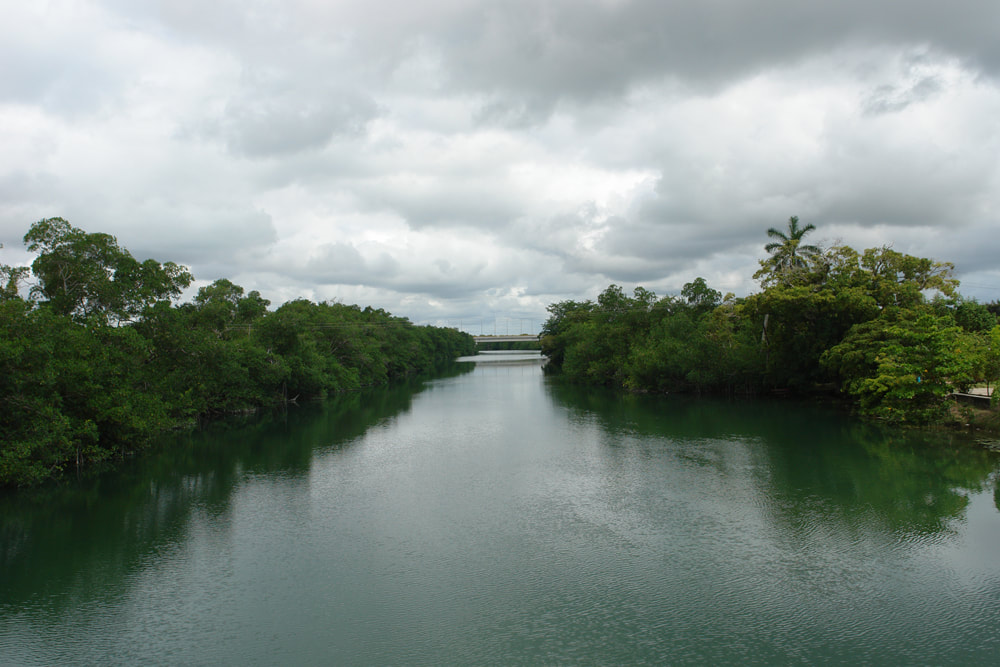 Rio Hondo River The Hondo River or Río Hondo river is a river of Central America, approximately 93 miles long, which flows in a northeasterly direction to discharge into Chetumal Bay on the Caribbean Sea. Most of the international border between the nations of Mexico and Belize runs along its length. The river is formed from the confluences of several upper tributaries, such as Blue Creek and Chan Chich (Rio Bravo) which have their sources in Guatemala's Peten Basin region, and Booth's River which originates in the western Belizean district of Orange Walk. These tributaries join to form the Hondo River near the settlements of Blue Creek Village, on the Belizean side, and La Unión on the Mexican side. The river continues its northeastern course with few other settlements along its length until reaching its outlet in Chetumal Bay. The city of Chetumal, capital of the Mexican state of Quintana Roo and the region's main port, lies close to this outlet. Sibun River, Belize 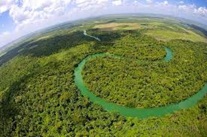 Sibun River The Sibun River (Xibun River) is a river in Belize which drains a large central portion of the country. The Sibun (Xibun) where ancient Maya people who inhabited the region. Sibun River, view from Hummingbird Highway. The headwaters of the Sibun River are located within the Maya Mountains, at approximately 800 meters above sea level, where it is known as the Caves Branch River. The river then flows through a gorge until it reaches an alluvial floodplain, where citrus and cacao plantations exist. Here the river valley is flanked by karst topography featuring Maya cave sites. Before the river reaches the village of Freetown Sibun, river figs and spiny bamboo (Guadua Longifolia) are common along its banks; along the stretch of river between the coast and the village, mangroves are predominant. It empties into the Caribbean Sea, south of Belize City. The Sibun River Watershed features several vegetation types, including tropical evergreen seasonal mixed needle forest, broadleaf forest, mangroves, and agriculture. The Sibun Watershed Association is a local organization focused on environmental issues within the watershed. Sittee River, Belize 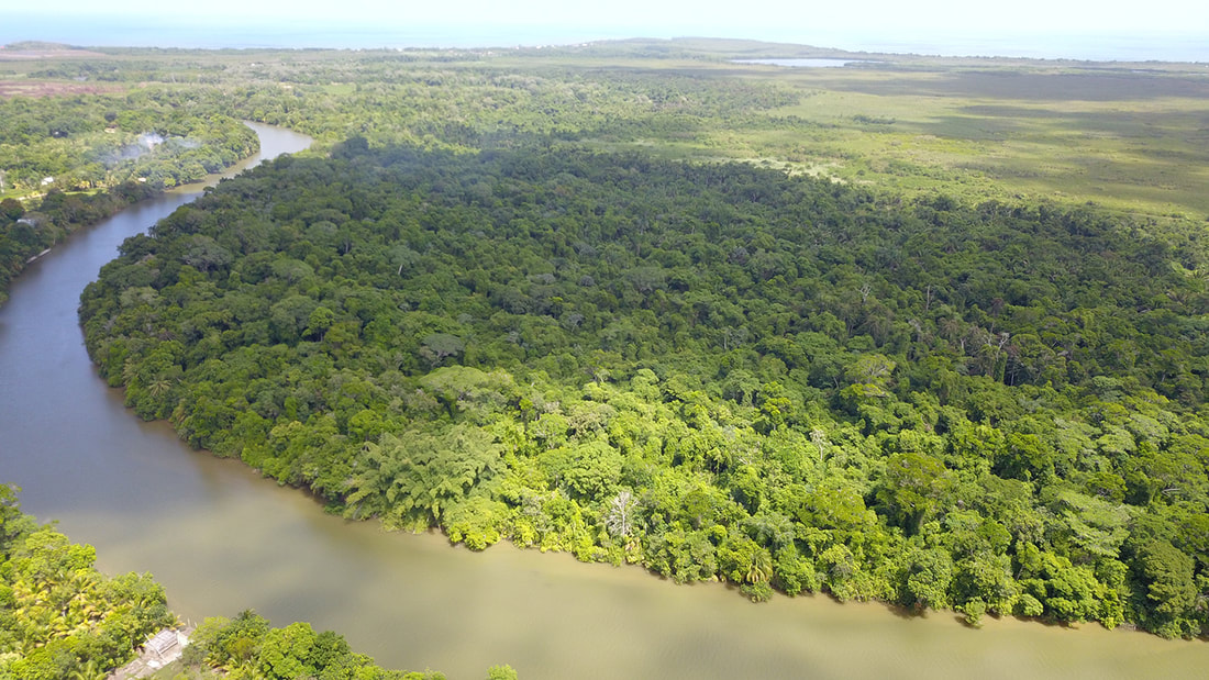 Sittee River Located in central Belize, the mangroves located at the mouth of this river are the tallest ever reported for the Caribbean region and among the tallest anywhere in the entire Neotropics. The mouth of the Sittee River represents the optimal conditions for mangrove development and the forest found there has a high level of structural development. Freshwater flows and sediments carried by the river itself, draining from the Maya Mountains, and tidal flushing from the Caribbean Sea all support this tree growth. The forest at the mouth of the river is composed of three mangrove species: red mangrove (rhizophora mangle), white mangrove (laguncularia racemosa) black mangrove (avicennia germinans). Stann Creek, Belize 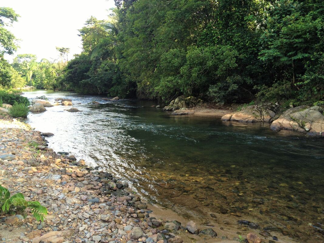 North Stann Creek River - The North Stann Creek River is 40 miles long, it winds through the North Stann Creek Valley rapidly at first and then more lazily and then empties into the Caribbean Sea at the bar mouth of Dangriga. The river is made up of two main branches, a north branch and a south branch, that joins behind Steadfast. The south branch originates in the Sittee Forest Reserve and is famous for the Davis falls. The north branch orginates near the Cayo-Stann Creek border. The Kent River is a smaller tributary, that joins the north branch at Middlesex. South Stann Creek River - is a watercourse in southeastern Belize. The administrative division, Stann Creek District, is named after the river. South Stann Creek rises in the foothills of the eastern slopes of the Maya Mountains within the Cockscomb Basin Wildlife Sanctuary. It drains the Cockscomb West Basin. Temash River, Belize 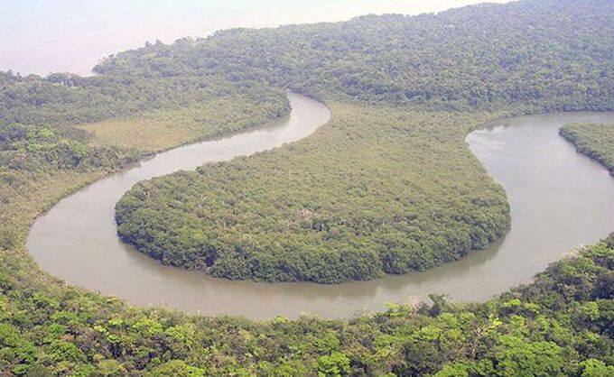 Temash River Between the Sarstoon and Temash rivers, sits the Sarstoon-Temash National Park. The park protects the entire watersheds of these two wild and remote rivers, including a vast wetland complex and the most highly developed riverine mangrove in the country. Both rivers then empty into the rich fishing grounds of the Caribbean Sea. The survival of STNP‘s unique wetlands and mangrove complex owe much to the careful management practices of the local indigenous peoples who have historically used its resources. Remoteness and difficult access has helped greatly in its preservation. Between the Temash & Sarstoon Rivers is the Sarstoon Temash National Park Sarastoon River, Belize 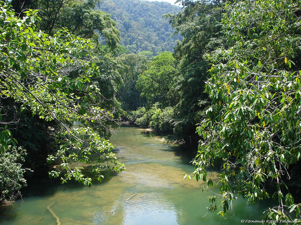 Sarastoon River The Sarstoon River, acts as a dividing line between Belize and Guatemala. Guatemala insisted that Belize had no control over the river or Sarstoon Island and Belize claims half the river and Sarstoon Island as being within it's territory. The territorial boundary, remains unsettled and the river is highly patrolled by both countries Belize and Guatemala.
1 Comment
|
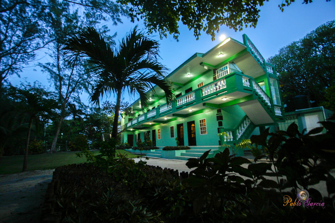
Is located on the island of Ambergris Caye, directly across from the Belize Barrier Reef, off the mainland coast of Belize. The property is nestled in a cluster of Australian Pine trees, backed to a littoral jungle, and surrounded by tropical gardens. It's about a one minute walk from the property to the beach, and a 10-15 minute drive from the island airstrip to the property.
We offer one bedroom suites (455 s.f.) of living area to include: livingroom, kitchenette, private bathroom and bedroom. We are also about a one minute walk from one of the best restaurants on the island serving (breakfast, lunch & dinner). Within walking distance you can find: (3) blocks is Robyn's BBQ (4) blocks is 2 fruit stands (5) blocks local grocery store IF YOU'RE COMING TO BELIZE TO............... If you're coming to Belize to dive the Blue Hole, descend the shelf walls at Turneffe, snorkel the Barrier Reef, explore Mayan ruins, rappel into a cave, kayak along the river through caves, zip line through jungle tree tops, hike through a cave to see an ancient human skeleton, swim with sharks, listen to Howler Monkey's, hold a boa constrictor, feed a jaguar, horseback ride through the jungle, canoe through a cave, rappel down a waterfall, sail around an island, enjoy cocktails & dinner to a sunset, climb 130' feet to the top of a Mayan ruin, rip up the jungle trails on an ATV, float through a series of caves on a tube, and sip on a rum punch..... then this is the place for you. Belize Budget Suites, offers you clean, affordable, attractive, accommodations, at prices that allow you to do all the things just mentioned. Archives
February 2021
Categories
All

For All Your Home Improvement Needs

For all Your Real Estate Needs
501-226-4400 10 Coconut Dr. San Pedro, Belize Your Ad Could Go Here
|




 RSS Feed


