|
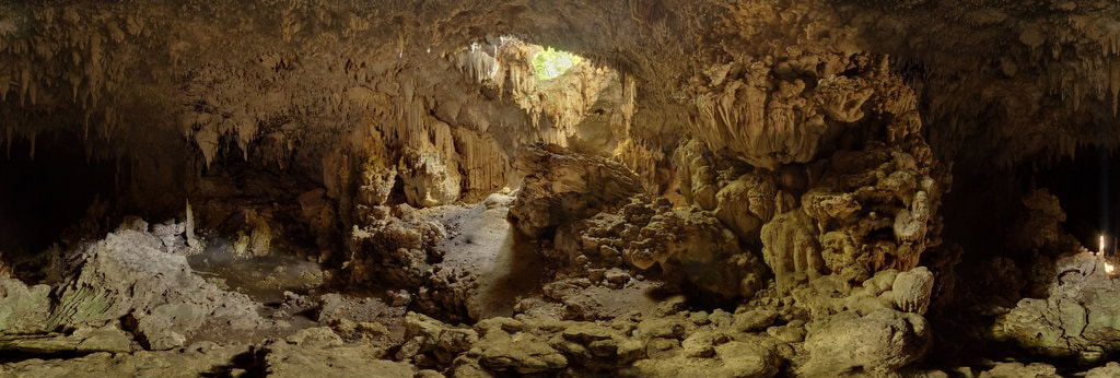
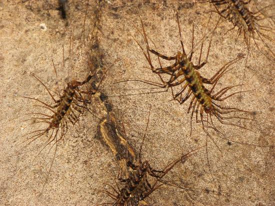
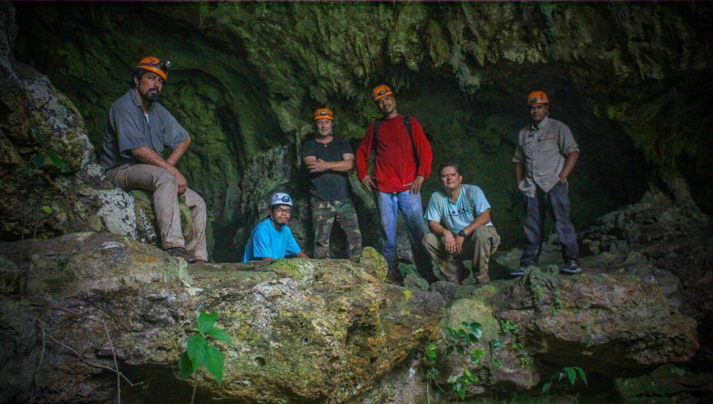
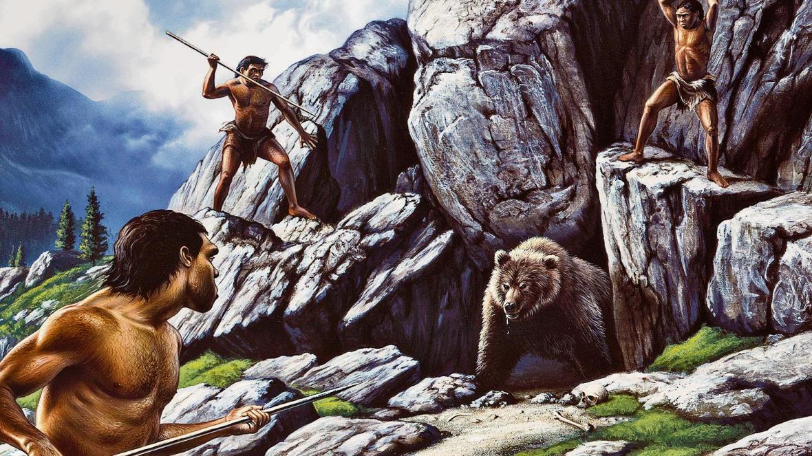
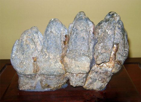
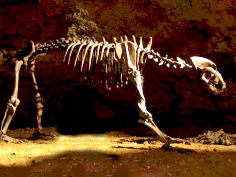
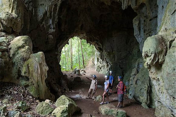
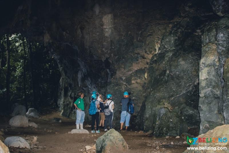
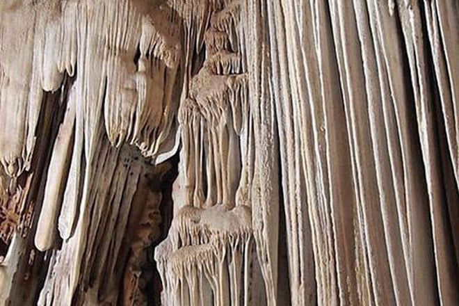
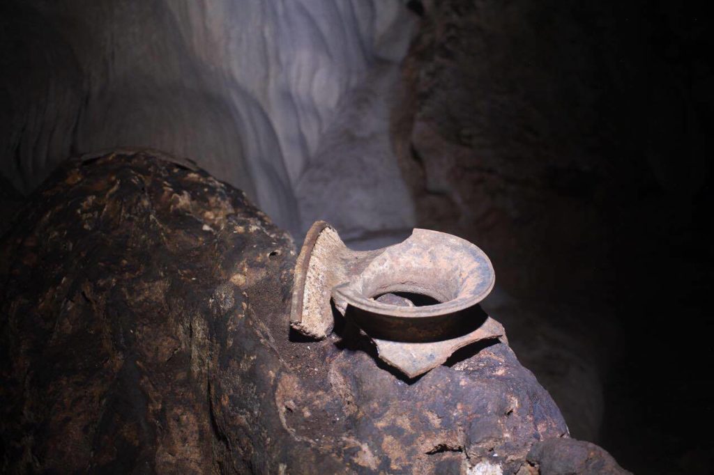
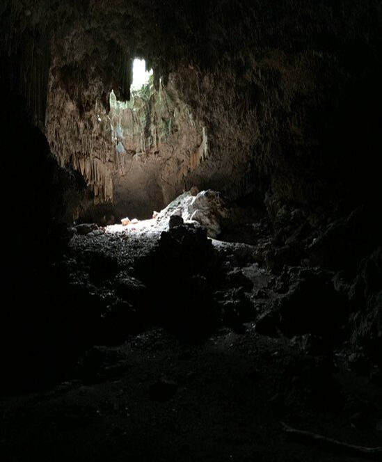
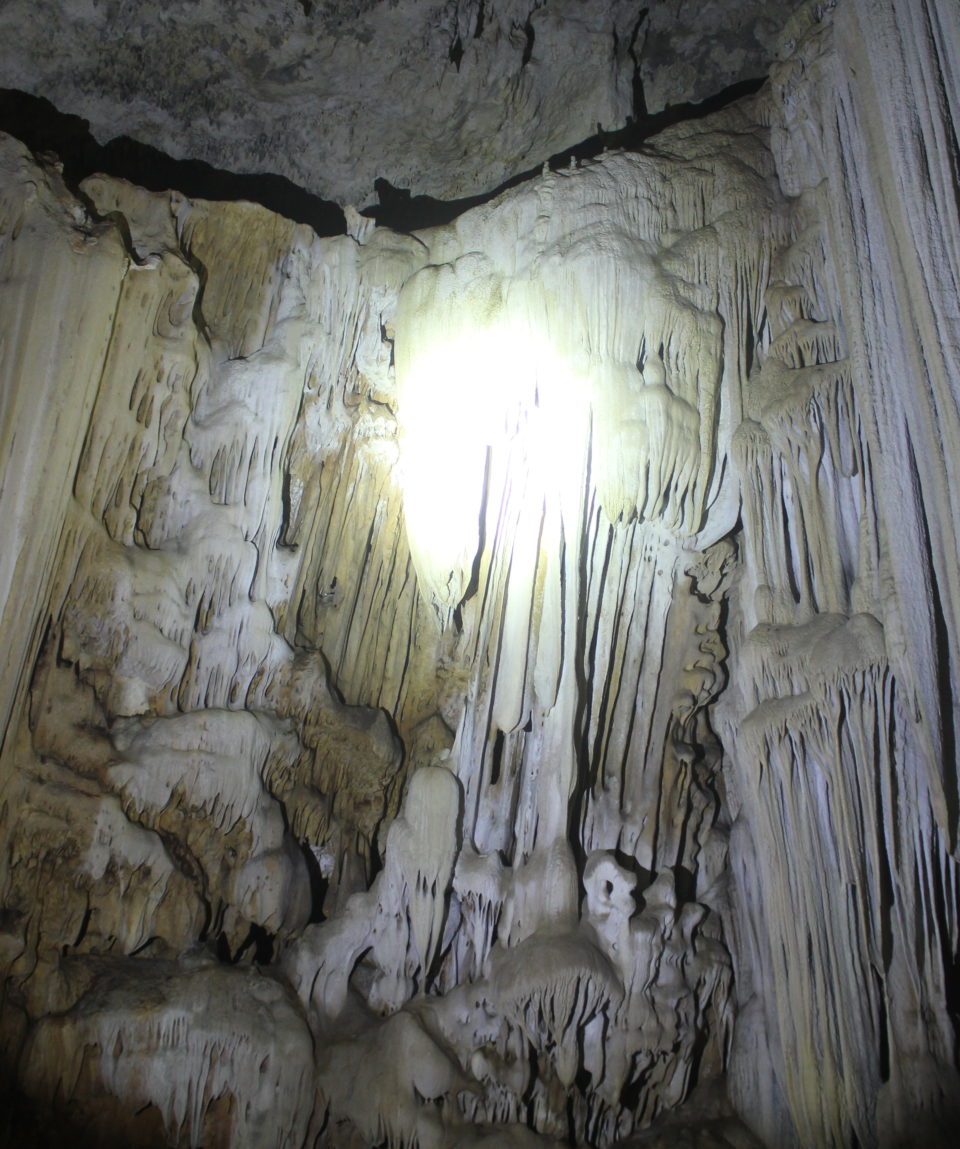
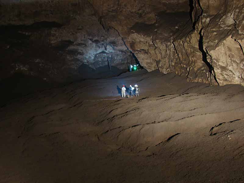
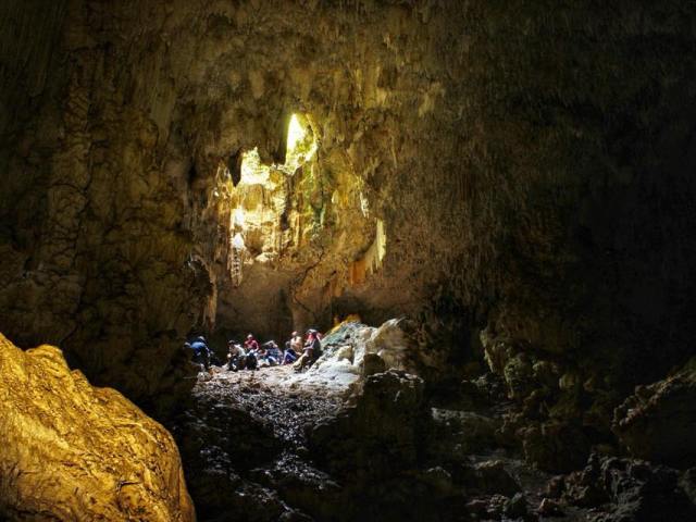
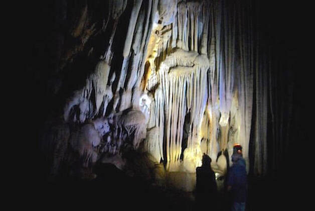
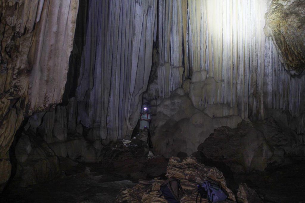
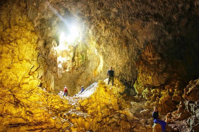
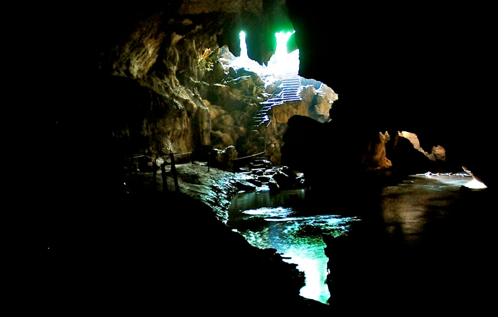
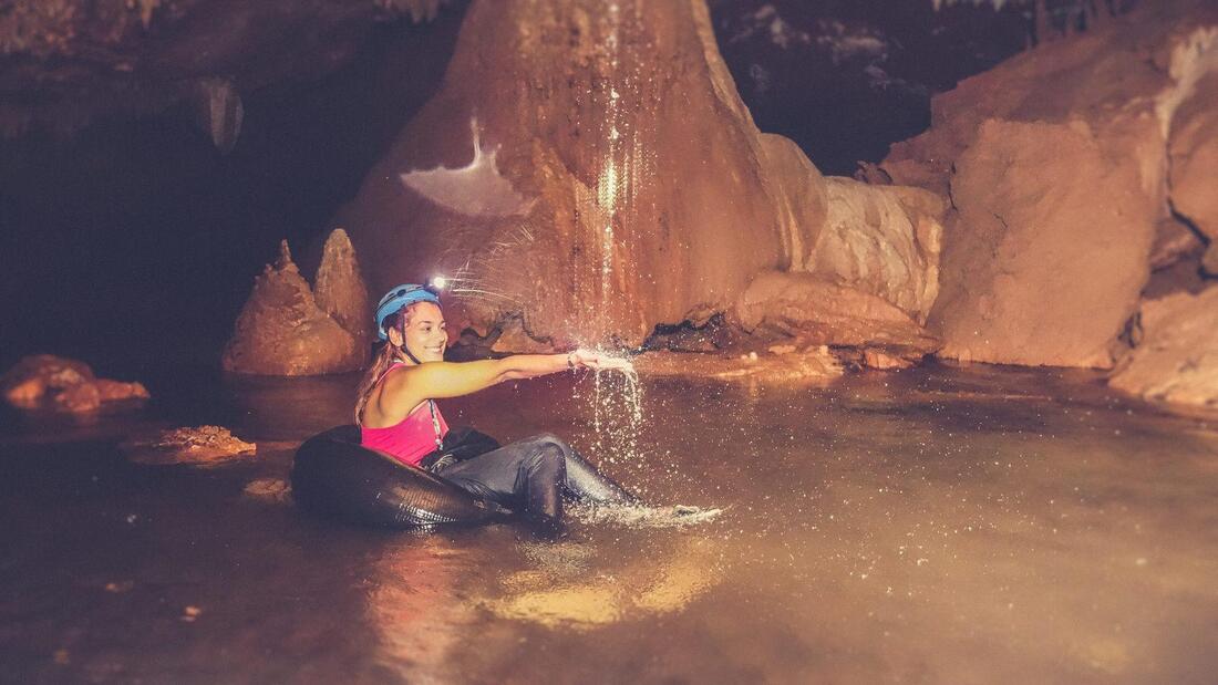
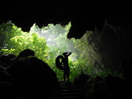
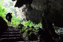
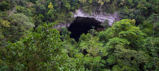
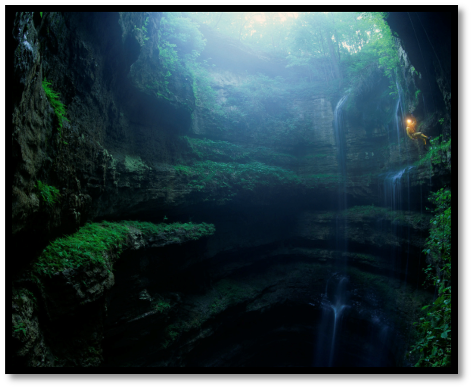
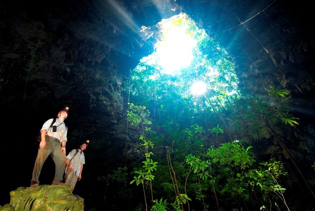
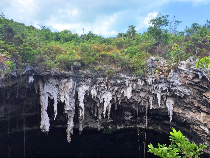
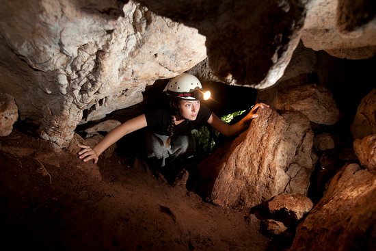
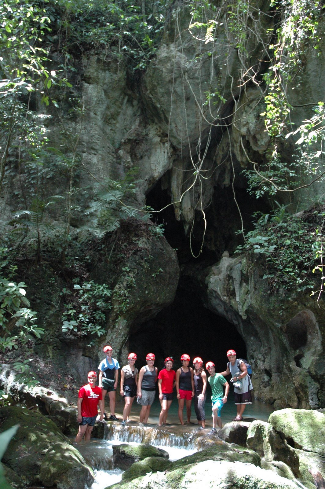
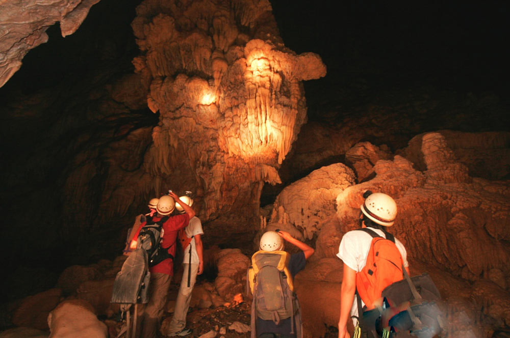
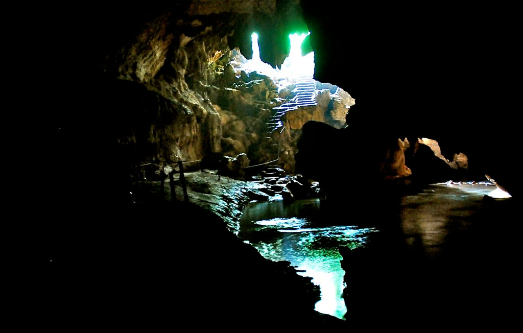
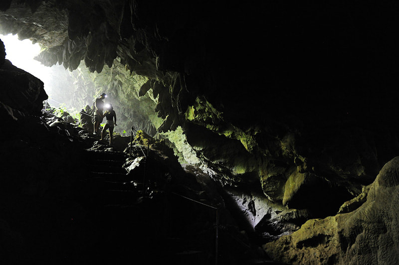
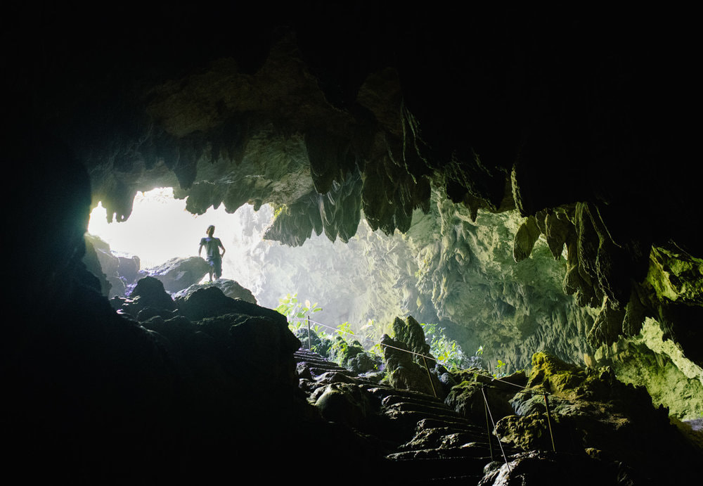
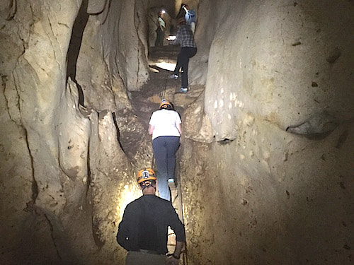
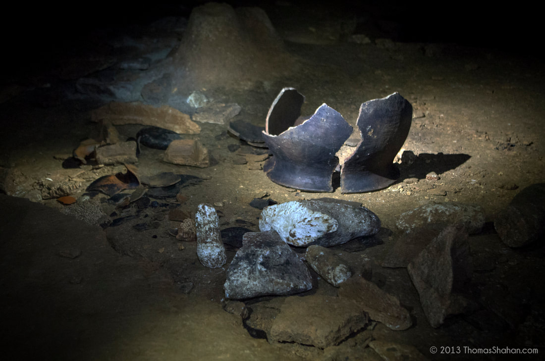
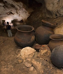
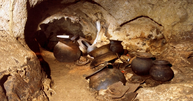
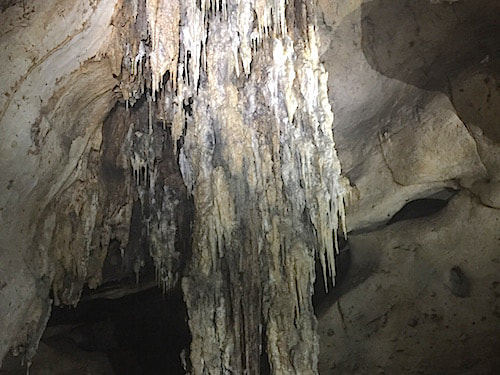
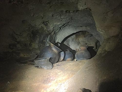
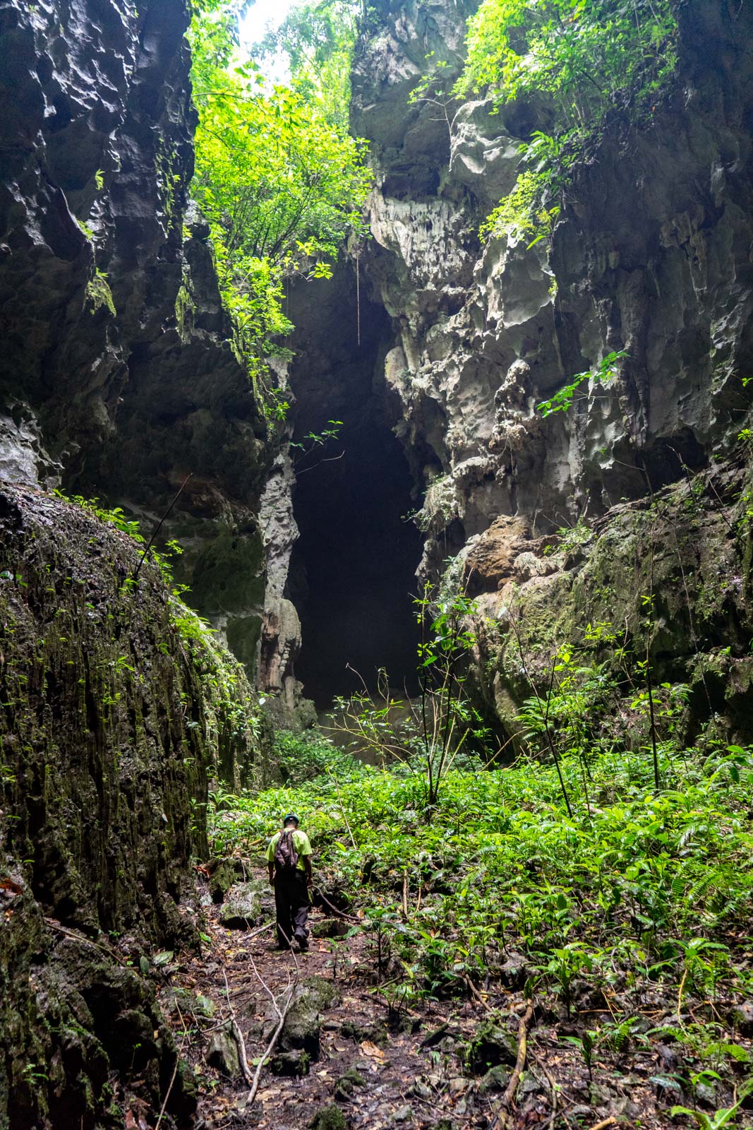
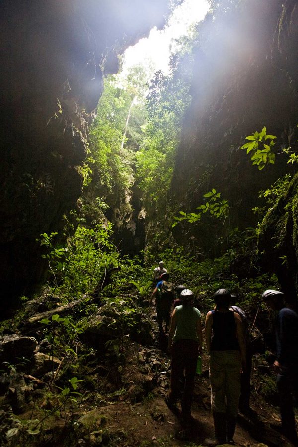
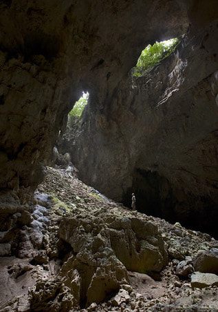
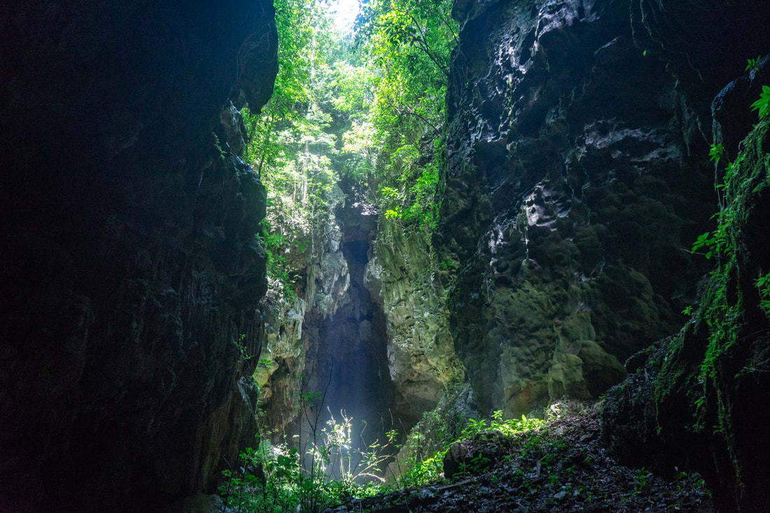
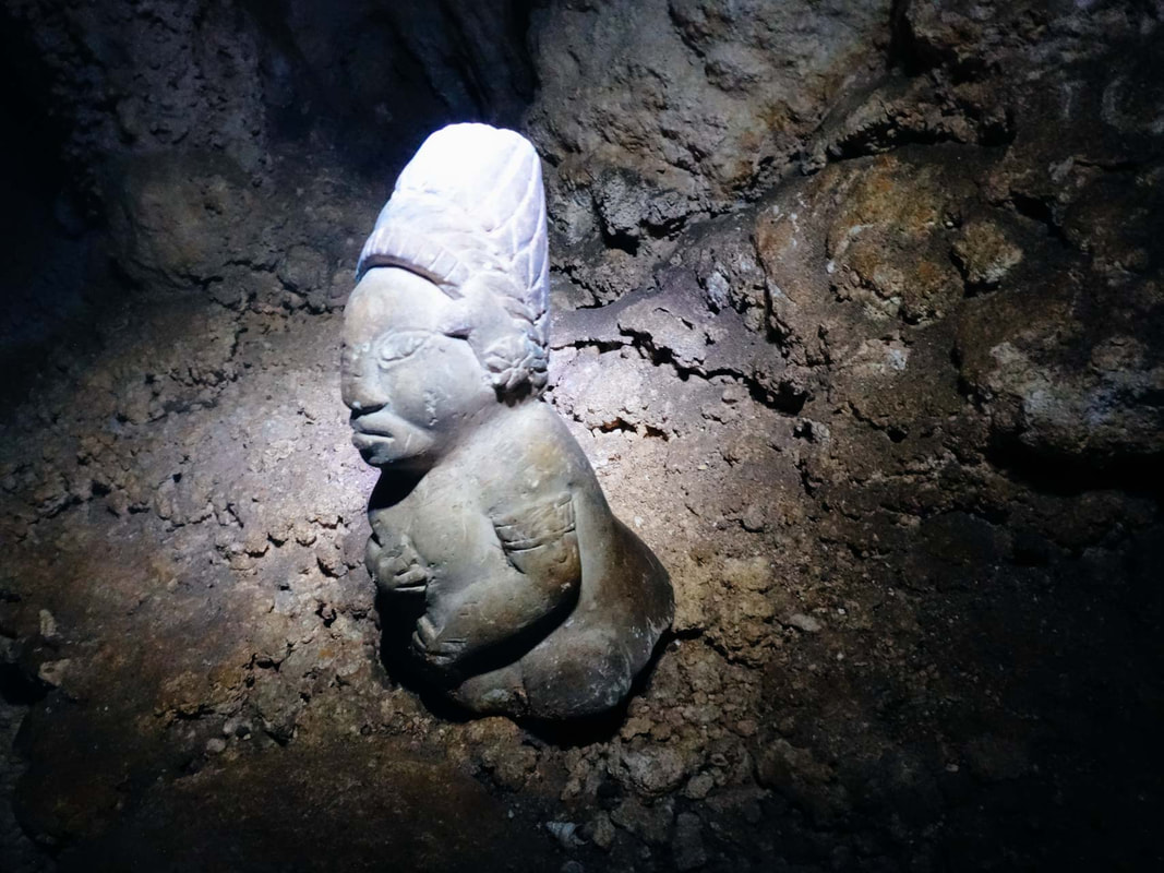
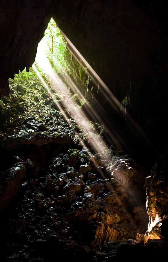
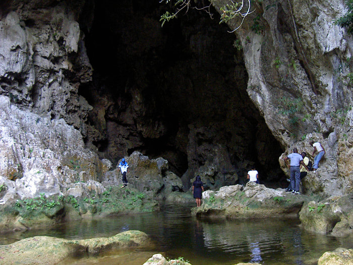
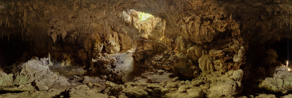
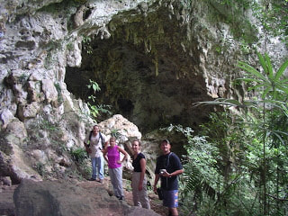
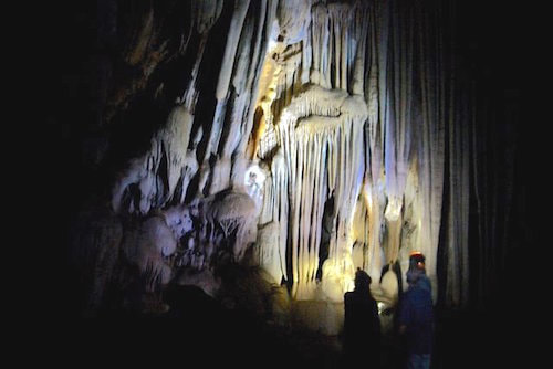
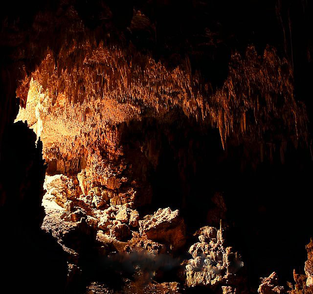
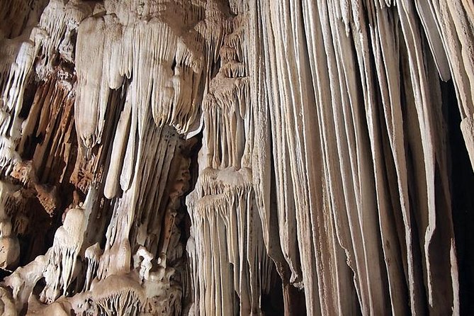
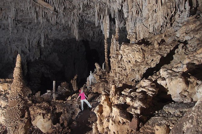
Actun Chapat - One of the Best Caving Experiences in Belize. Actun Chapat Cave is one of the best caves in Belize to explore! Inside this massive cave system are crystallized rock formations, Mayan stories, flying and crawling cave critters, a beautiful cenote, and an area known as "The Skylight". Where is Actun Chapat located? It is located in Cave World Adventures, at #1 Minhocao Trail, San Jose Succotz Village, in the Cayo District of Belize. Cave World Adventures is an adventure and wilderness park created as a preservation project for Belize's flor and fauna. Actun Chapat = Means Centipede Cave The name “Actun Chapat” means “Centipede Cave” and (yes you are correct), the cave is littered with centipedes inside, but don't worry they won't bite. There is much Mayan tales about the cave, which refer to a serpent (more like a dragon), that lives deep inside the cave. So far, we haven’t found that serpent, but we have indeed found many centipedes. This cave sits next to a smaller cave known as Actun Halal (Cave Of The Spear) where archaeologists have found evidence of a mastodon tooth and the remains of an extinct cave bear. Certainly this evidence refers us back to the Paleolithic era when humans were still hunters and gatherers and the age pleistocene animals were still roaming these country sides. The first cave that you will encountered is called “Baby Chapat,” which is basically a smaller cave within the much larger cave system. Passing through Baby Chapat, you will enter into Actun Halal, which is a rock-shelter where the Mayas carved faces into the soft limestone of the cave walls. After briefly visiting Actun Halal, you will hike a bit further before getting to Actun Chapat, the cave you will be exploring on this day. The first challenge you will encounter, is the entrance to the cave. You will need to keep a 3-point contact to climb inside the cave. We found most of the rocks to be slippery - so be careful. Once inside the cave, you will be greeted by a grand crystalized rock formation, along with many broken pieces of pottery pieces, AND (you got it!) centipedes! Each piece of pottery is said to have been brought into the cave by ancient Maya priests, when they conducted their rituals and human sacrifices to their deities. After the rituals were performed, the pottery was then broken to release its spirit. Many of the pieces in this cave date back to as early as 1800 A.D. The ancient Maya never lived in caves, cave were predominantly used for rituals and burials. There are skeletal remains in this cave, either from human sacrifices or as a final final resting place for the dead. There is are a couple sacred ritual rooms where certainly the activities there were of religious and spiritual importance. When exploring Actun Chapat, you will entered into one of the largest chambers for caves in Belize. The cave ceilings are very high, and the inside has a rather hallow feeling to the rock formations. Usually at this point, your guide will stop and ask you to turn off your headlamps. This is when you really get to experience just how dark a cave really can be. Try calling out your name, and listen to your voice echo back to you in this cavern. After you have completed alot of walking and rock climbing, you will reach the skylight. The skylight is a cenote or sinkhole that the Mayas believed was the entrance to the underworld of Xibalba. The sinkhole is caused by the process of carbonic acid softening of the minerals inside the limestone mountains, which later collapses. The carbonic acid comes from water that had accumulated on top of the mountains. Making it to the skylight was definitely worth all the climbing and crawling! When is the best time to go to Actun Chapat? - The best time to visit Actun Chapat is in the morning - you don’t want to be hiking out of the cave when darkness is approaching. Taking into consideration that most days in Belize are warm and sunny, any day is appropriate to go spelunking in Belize. What is the level of difficulty of Actun Chapat? - On the difficulty scale of 1 to 10 with 10 being the most difficult, Actun Chapat is a 4.5. Inside the cave is rather slippery, even in the dry season and exploring the cave requires a lot of crouching and climbing. The geological “art works’ found in Actun Chapat is spectacular and is generally not seen in many caves around Belize. So far, there are a little more than 200 registered caves in Belize. You will find wide open and long spaces in this cave, up to 500 meters in length. This alone is incredible to witness, as underground water years ago, created these wide open spaces - deep inside the cave. Archaeologists suggest that this cave can be longer than 6 miles in length. Not very many people have ventured that deep into this cave to bear witness to it. What we do know, is this cave has 3 lakes inside of it, along with a wonderful beach area. We also know that the ancient Maya modified stalactites, stalagmites and glow stone formation (in this cave), to their advantage. Whether to be for entertainment, style, or to respect the underworld as an even more ominous a place to visit. We also know that, the ancient Maya also created some stairs and hand and footholds in the sharper and higher reaches of the cave. One most impressive evidence of this, is in the sinkhole, high within the bowels of the cave. How to get to Actun Chapat? - Getting to Actun Chapat takes a total of roughly one (1) hour and thirty-five (35) minute drive from San Ignacio Town. This includes the time to get from San Ignacio to San Jose Succotz Village (about 15 minutes away). The drive on Waterhole Road (1 hour), and the hike from Cave World Adventures to the cave entrance (is about 20 minutes). Getting to Actun Chapat from Belize City - takes about 3 hours and 35 minutes. You can get to Actun Chapat in a private vehicle or car rental.
0 Comments
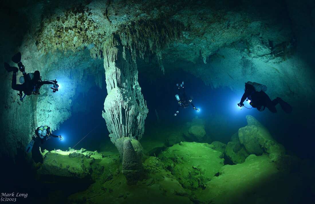
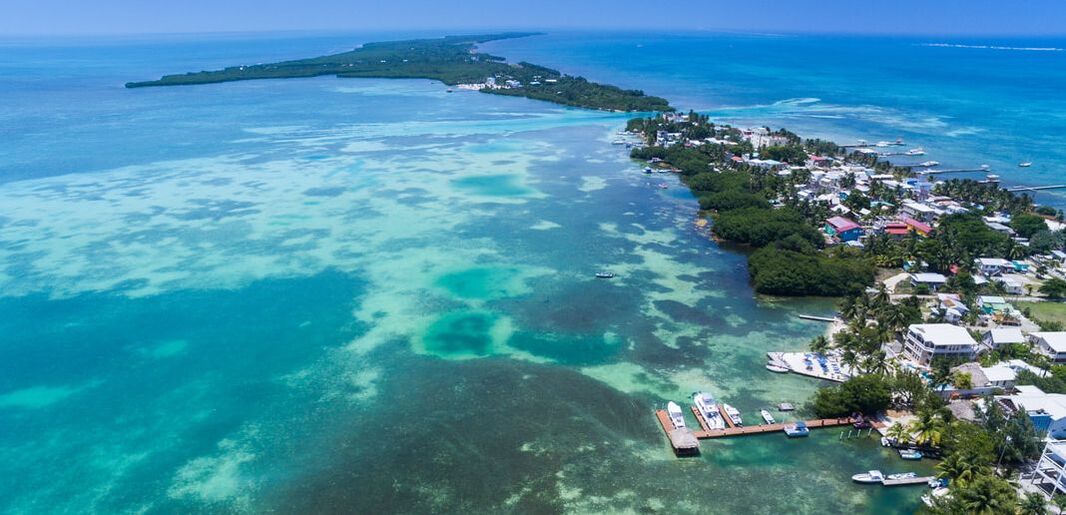
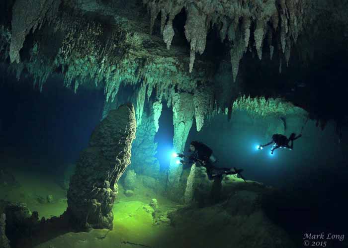
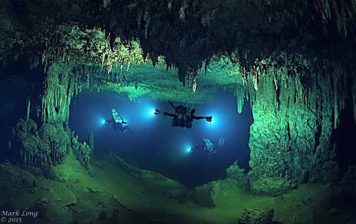
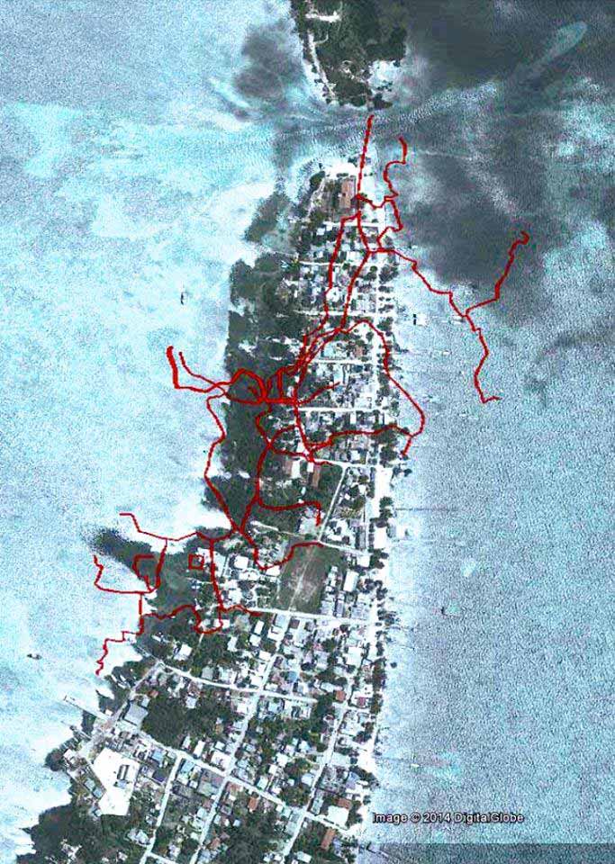
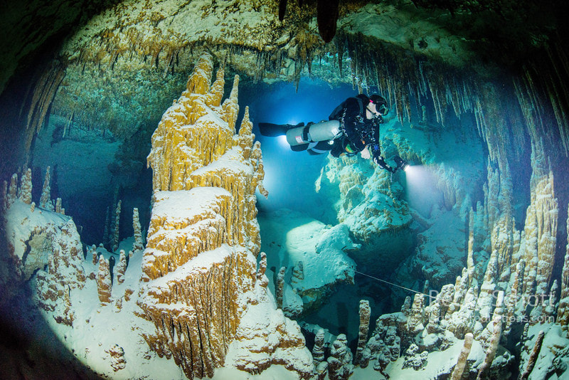
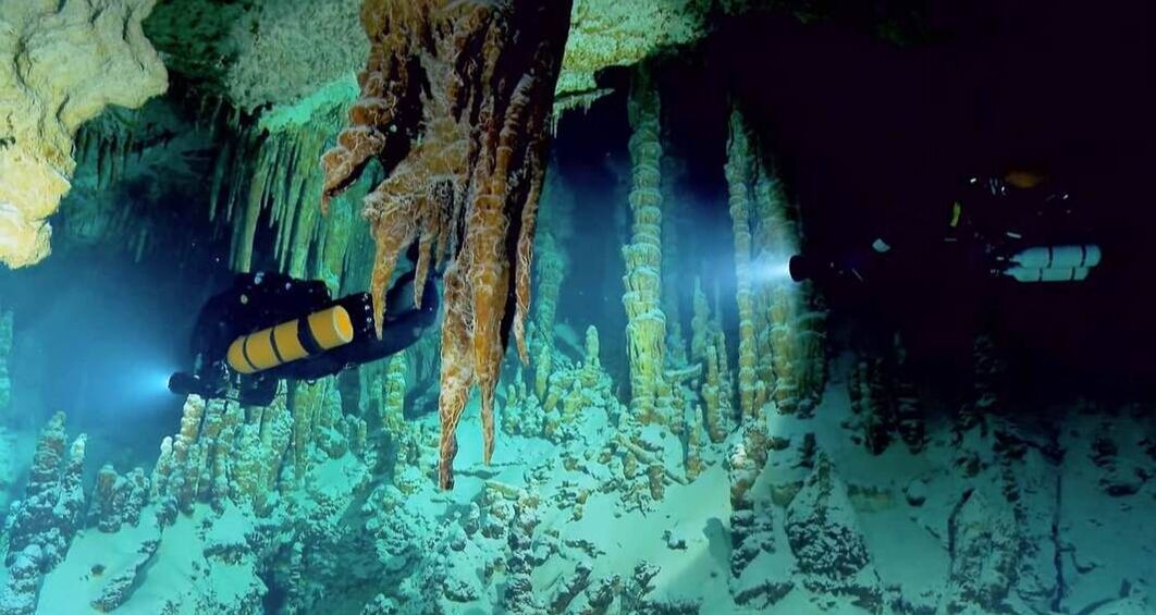
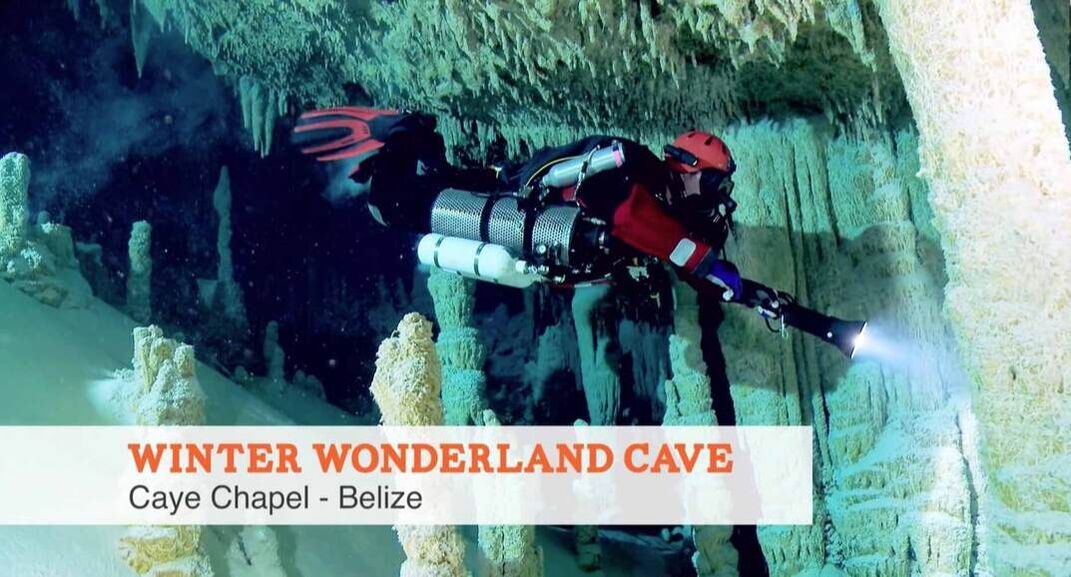
Caye Caulker Island (in Belize) Many people have no idea that there is a huge cave underneath Caye Caulker. One of the largest caves in Belize, if not the entire world. Caye Caulker could possibly be sitting ontop the largest marine cave in the world. Underneath the island of Caye Caulker, is a very extensive cave system. The largest marine cave in Belize, perhaps even the entire world. According to the Belize Cave Diving Society (BCDS), many neighborhoods on the north tip of the island lie directly atop the Caye Caulker Cave complex, although there is currently no signs that anyone on the surface is in danger. Recent developments for the cave may prove monumental for the Caye – as it increases the island's visibility on the dive map, as experts and tourists alike will flock to see this unique natural beauty. Not forgetting the impact this will have on the earth science world (biologists, hydrologists, archaeologists etc) as this cave acts as a time capsule preserving life forms and conditions of a more ancient earth. And finally giving Caye Caulker global recognition for a truly magnificent natural marine creation as unparalleled as the Niagra Falls & Grand Canyon. The entrance is just 50 yards from shore. Even teams of experienced divers have not yet finished exploring the entire Caye Caulker Cave complex, but it is estimated to be quite extensive. National Geographic is taking their time to explore the cave, along with some of the elite in the dive world, headed up by James Petersen (aka ‘Chip’), from Belize Dive Service and his team of researchers. THE STORY OF THE CAVE The story so far is this.................the cave was first explored back in 1981 when the first owners of Belize Dive Services Paul Heinerth (an international cave diver pioneer and author of many books on the subject), and Chuck Hattel dug into the cave. Shortly after 1981, Frank Bountain took over Belize Dive Services (from Paul), and amounted over 500 dives in the cave itself – thus becoming the person who has dove the cave most to this date. Together these individuals, amassed significant initial information that included basic mapping of the cave. In 1995, Frank left Belize Dive Services and from then there was no active diving undertaken in the cave until November 2012 when Chip Petersen and Bill Oestreich, both recognized Cave Dive Instructors entered the cave once more. In 2009, Chip & Dani Petersen bought Belize Dive Services and have contributed to the longevity of our marine environment by funding the Belize Shark Project. Chip’s real dream in purchasing BDS was to follow the footsteps of his predecessors (Paul Heinerth & Frank Bountain) to allow Belize to realize the potentials of this natural beauty. So when Chip's mentor Bert turned up on Caye Caulker, he seized the opportunity. So to date, Chip and Marty O’Farell from San Pedro (heavily experienced cave divers) have been re-tracing Paul & Frank's steps. Chip has been given approvals (permits) by the Department of Archeology and the Environment to survey, map and research the Giant Marine Cave. Together they have been making accurate surveys through computer technology and thus far verifying and giving greater accuracy to the original data. It is believed, that in the years to come, the cave will attract elite divers from all over the world. From a commercial perspective, Chip together with the former mayor (Alberto Villenueva), have pushed for the area to be designated as a mini reserve, managed by Caye Caulker Village Council and the Dept of Archaeology. Their aim is to get a significant proportion of the profits back into the hands of the Caye Caulker community. Chip is anxious that Belizeans get involved in the cave, but stresses the dangers for those diving the cave. All divers must go through a 15 day course to learn the specifics and skills of Cave Diving before accessing the cave. Safety concerns are essential for those without the capacity to use the specialized equipment and techniques. Experienced divers are the most frequent divers to lose their life in cave diving. For this reason the Belize Cave Diving Society has been established to promote safe and responsible cave diving in Belize. Rules for guiding will be based on established methods used worldwide and a Cave Management Protocol created for all cave divers. The red lines represent lead lines for diver's to follow in the "Giant Cave" located below Caye Caulker. CAYE CHAPEL MARINE CAVE (aka Winter Wonderland) The second cave connected to the Caye Caulker complex is known officially as the Caye Chapel but has been nicknamed by divers as "Winter Wonderland". Because so much white sand has accumulated inside the cave over the years, the inside looks a bit like a snow globe, giving the cave a wintry feel. The waters are absolutely transparent and clear, revealing the silent beauty of the gorgeous "snow" encrusted stalactites and stalagmites inside the large cave. The BCDS has released a video of the "Winter Wonderland" cave, allowing even landlubbers to enjoy the unparalleled natural beauty lying beneath their feet. Anyone curious about exploring the Caye Caulker Cave System should resist the temptation and leave the mapping of the system to professional divers. Conditions inside the Caye Caulker Cave complex are not fully known, and amateur divers or unaccompanied divers should never attempt to enter the cave system and explore. A number of dangerous elements exist inside the Caye Caulker Cave complex and only professional cave divers with years of certification and training should attempt entering the complex. Currently, there are no plans yet for guided tours or other public access to the enormous cave complex. 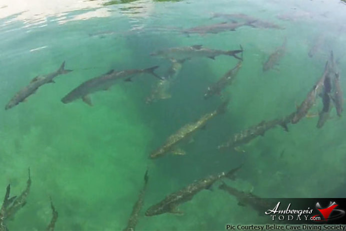 What starts out as an almost unnoticeable opening near the shore on the lagoon side of the island quickly reveals itself to be the opening of the giant cave complex, equivalent to a building several stories tall. YouTube Videos - On the Giant Cave Discovery This was truly a wonderful subject to research, and I have an immense admiration for the divers, photographers, and various organizations that are making this discovery possible.
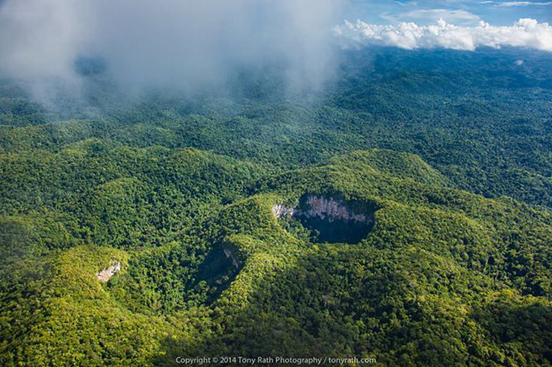
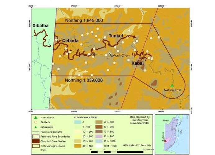
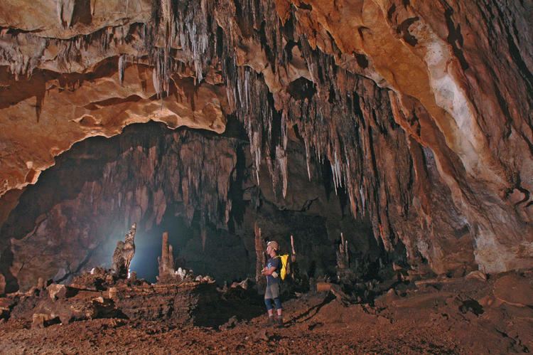
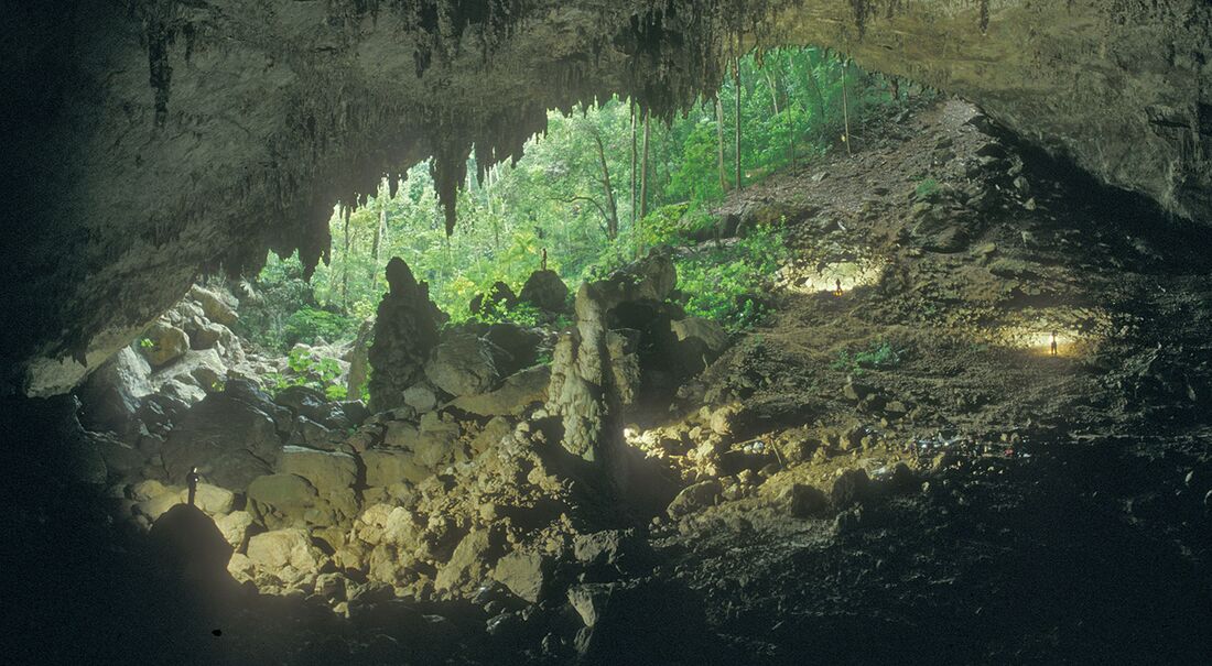
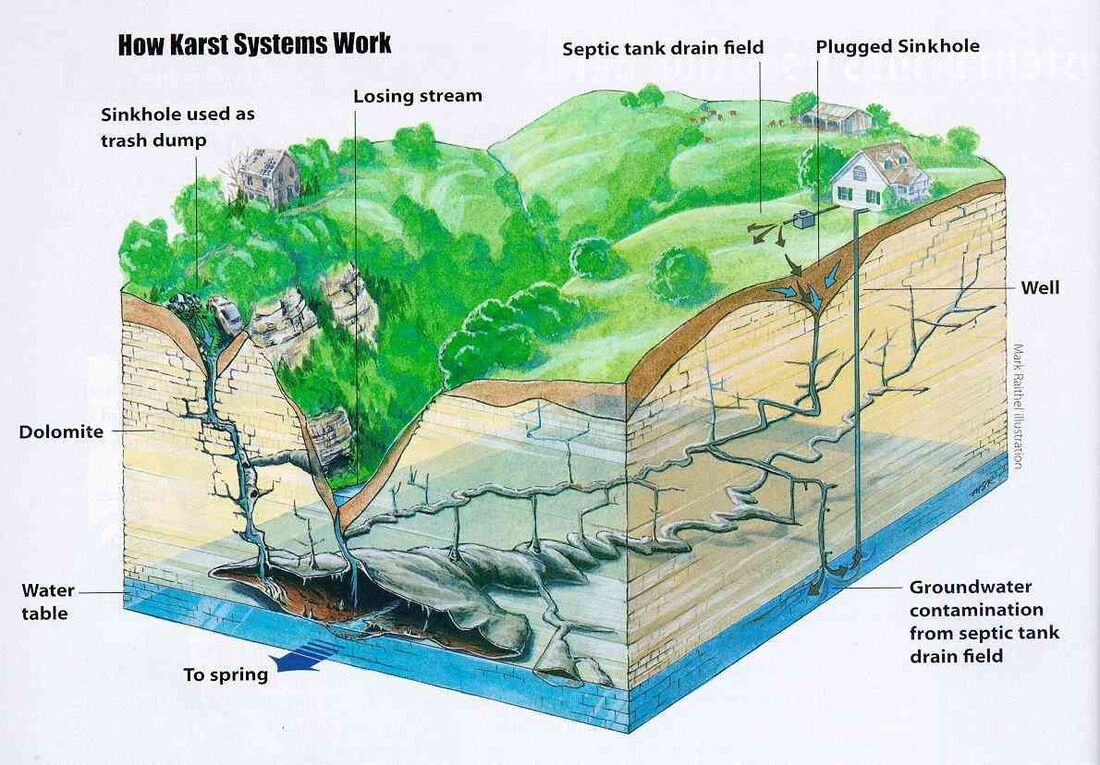
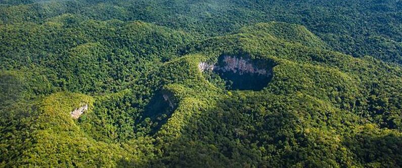
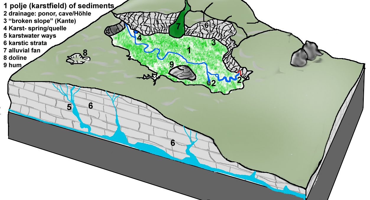
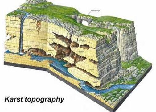
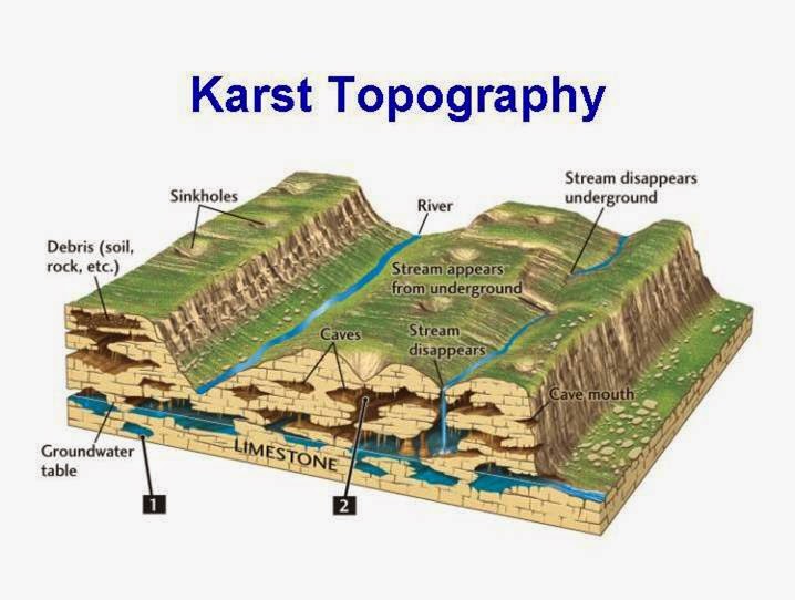
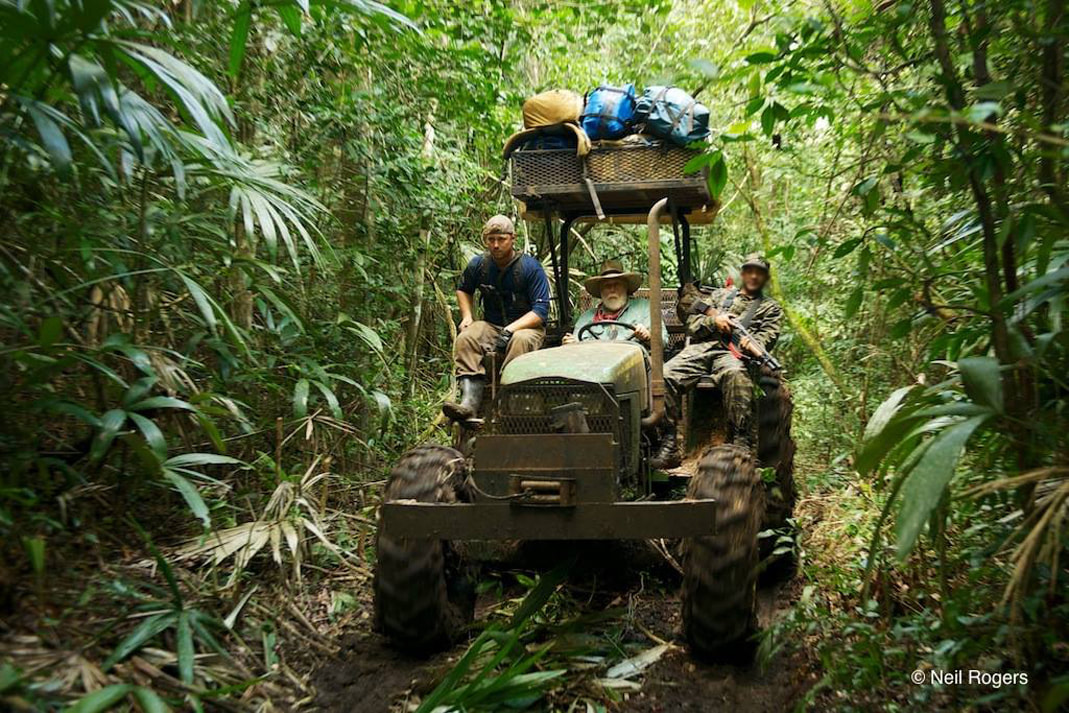
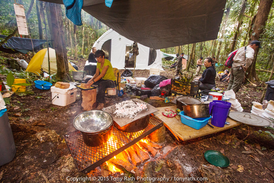
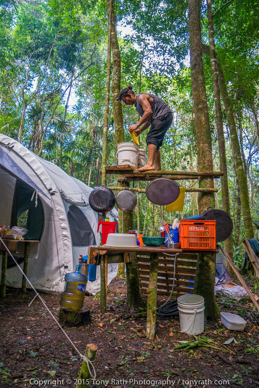
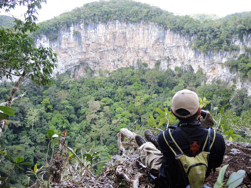
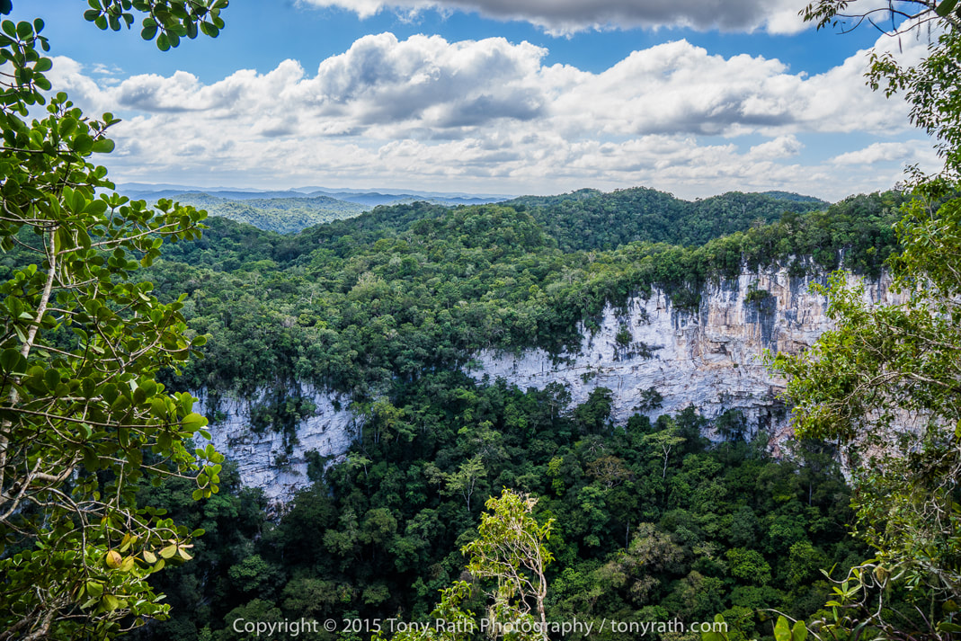
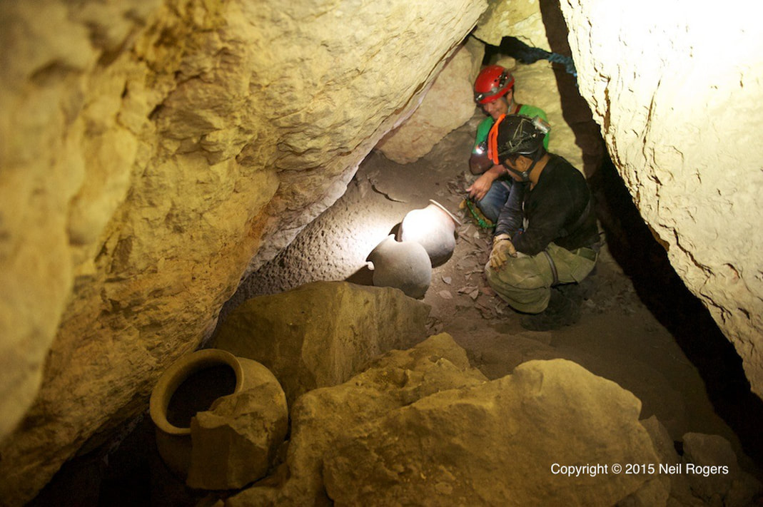
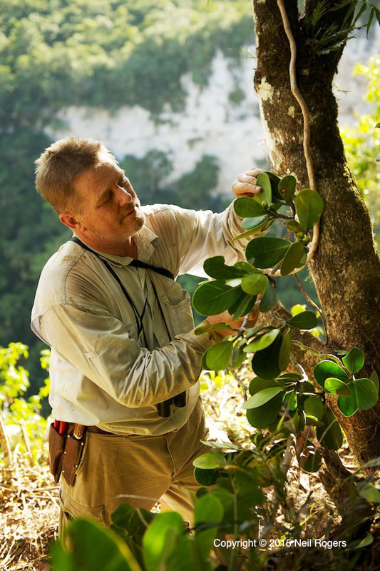
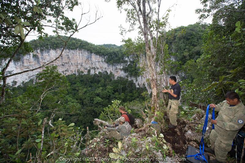
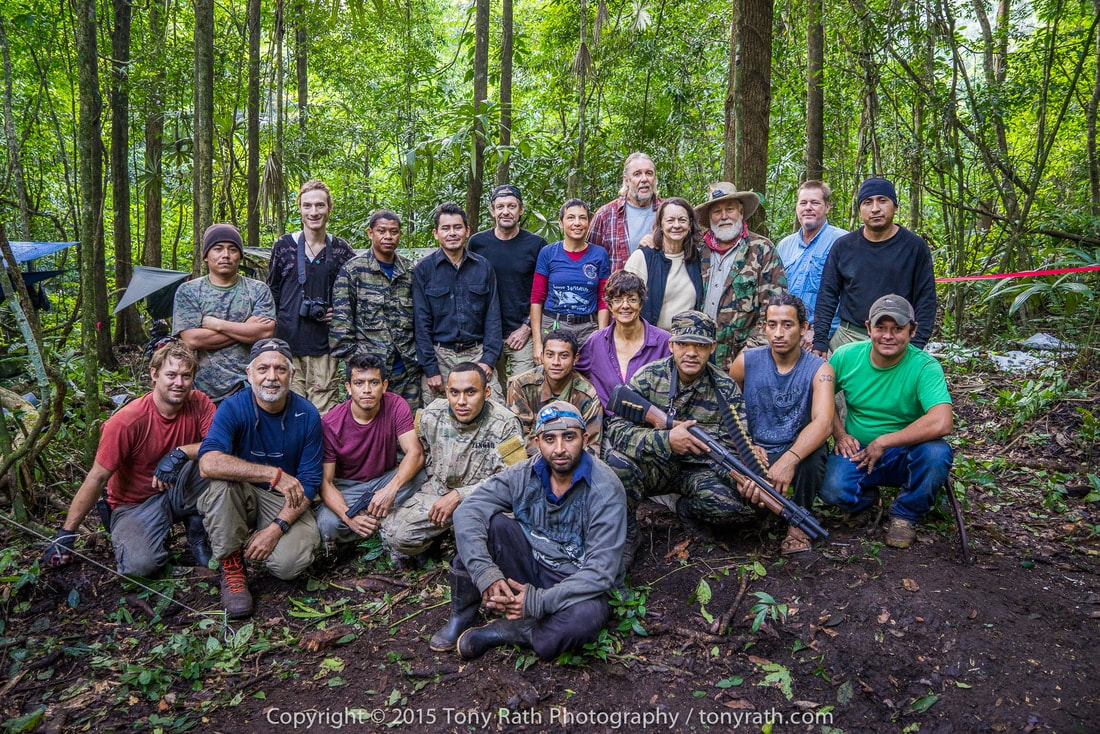
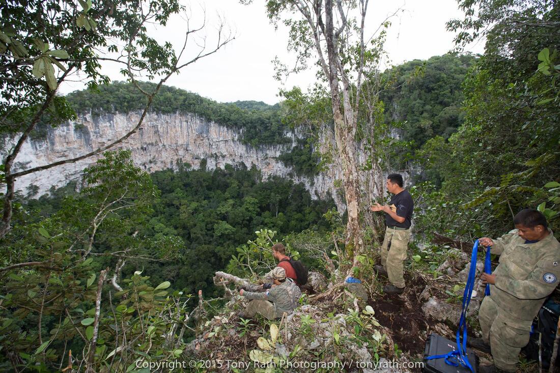
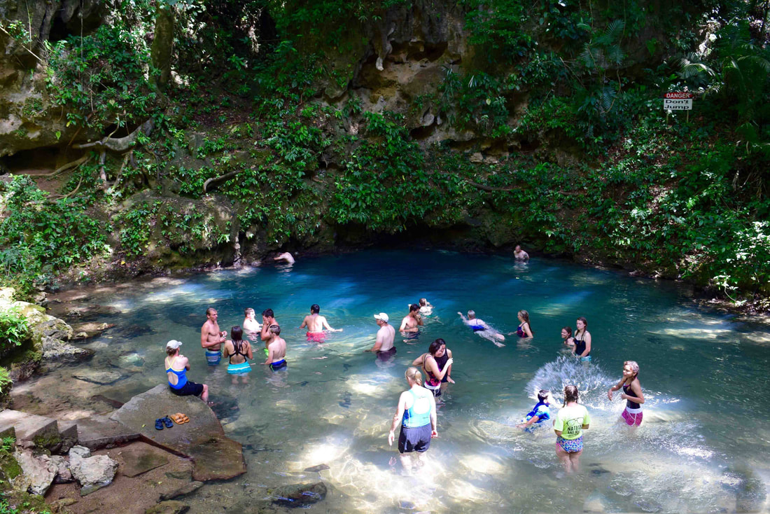
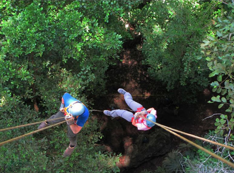
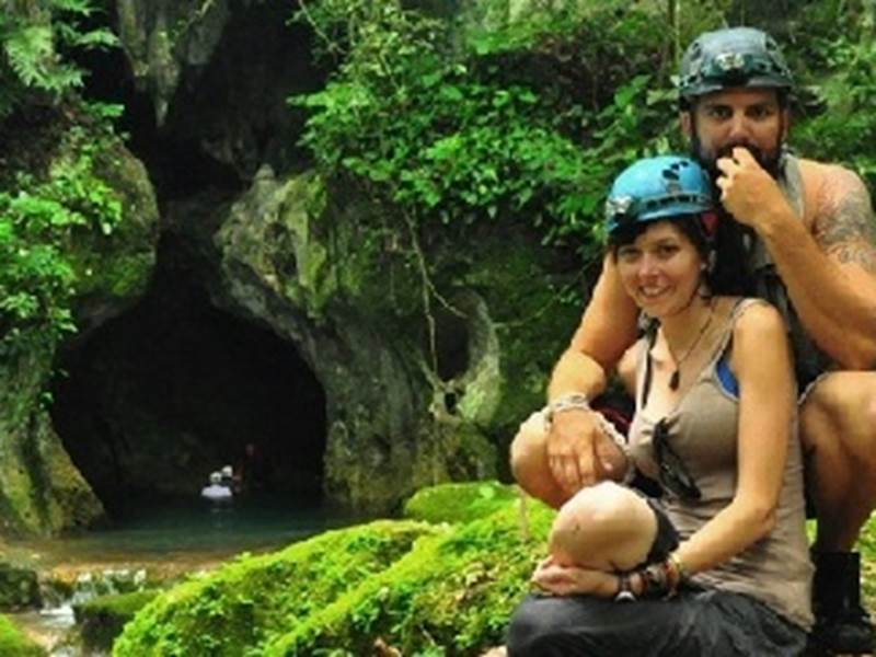
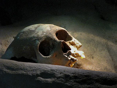
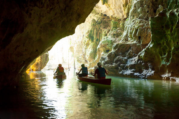
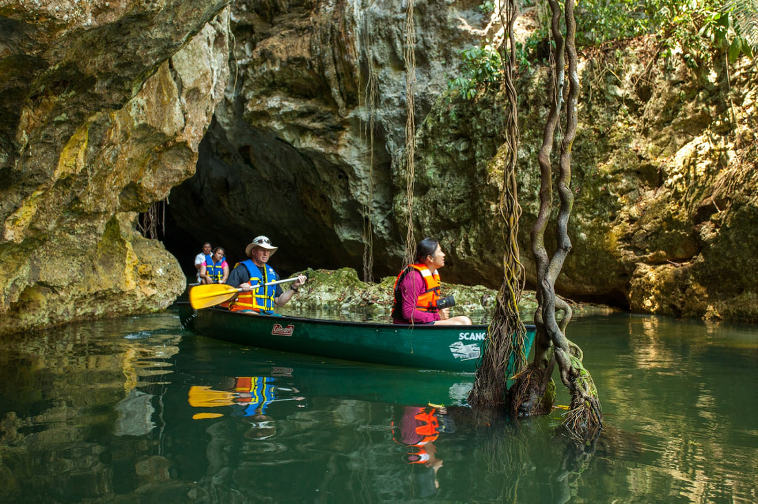
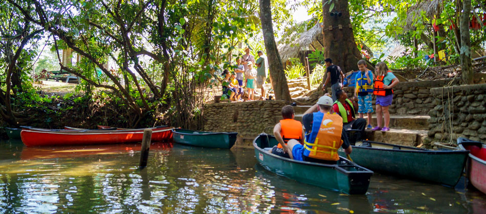
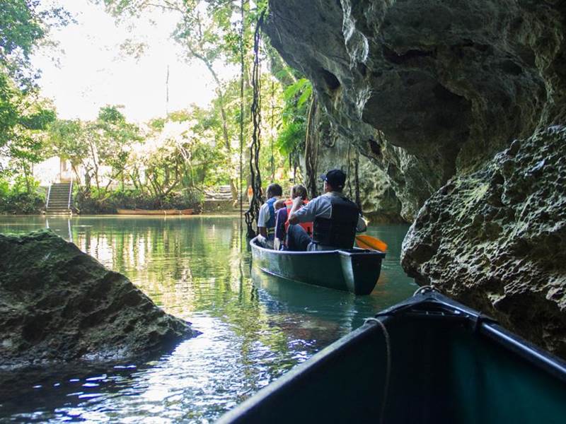
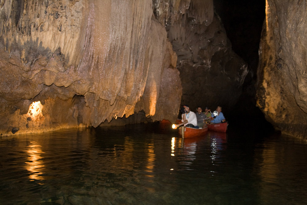
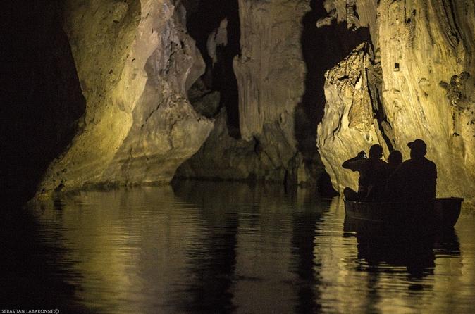
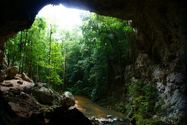
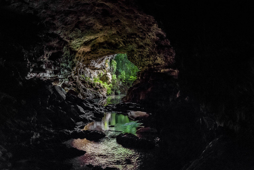
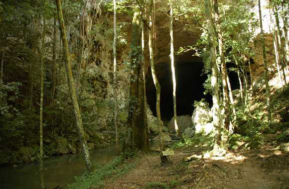
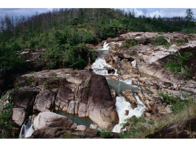
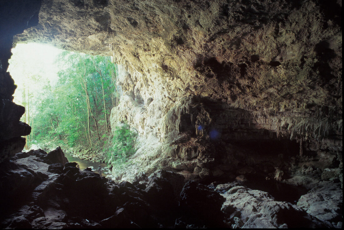
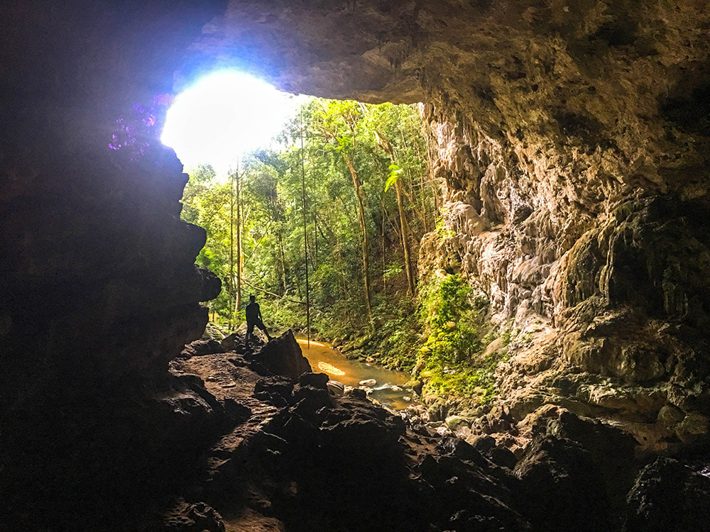
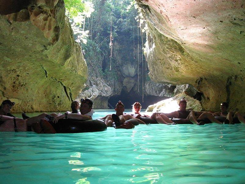
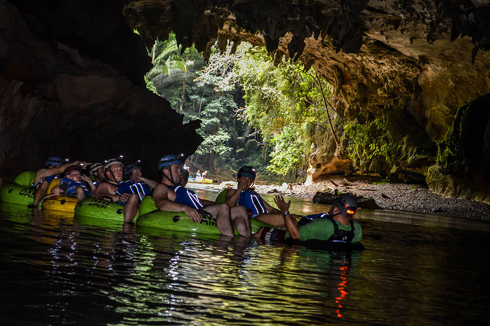
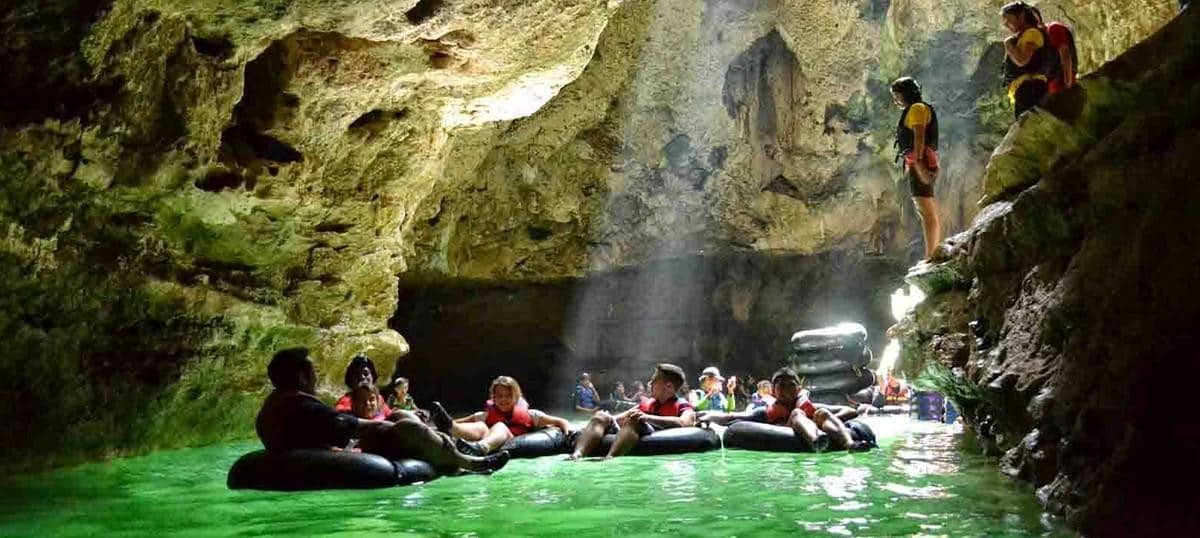
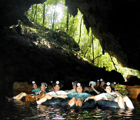
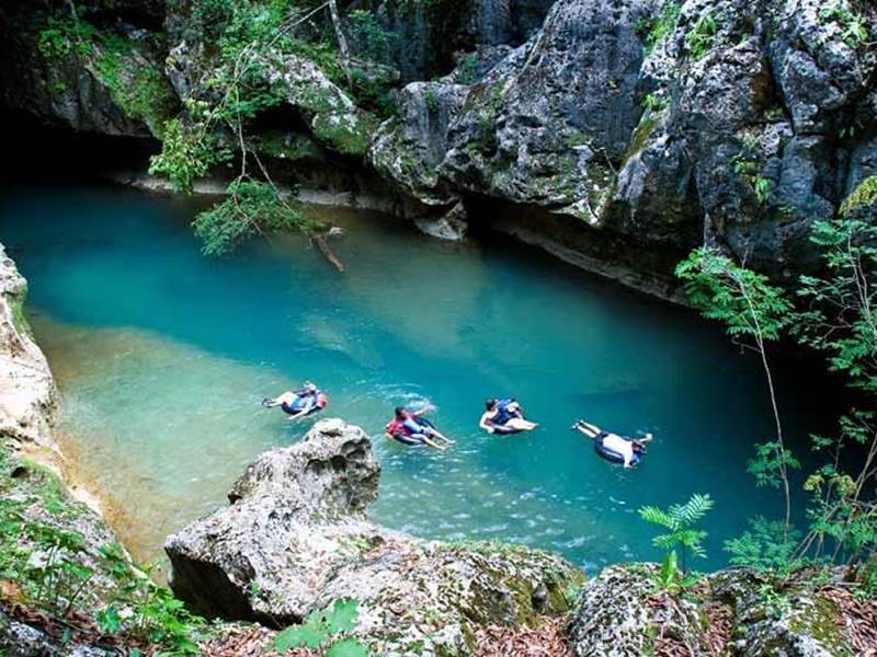
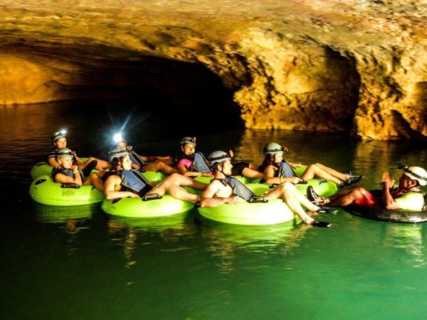
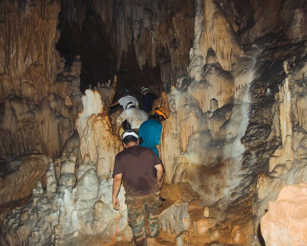
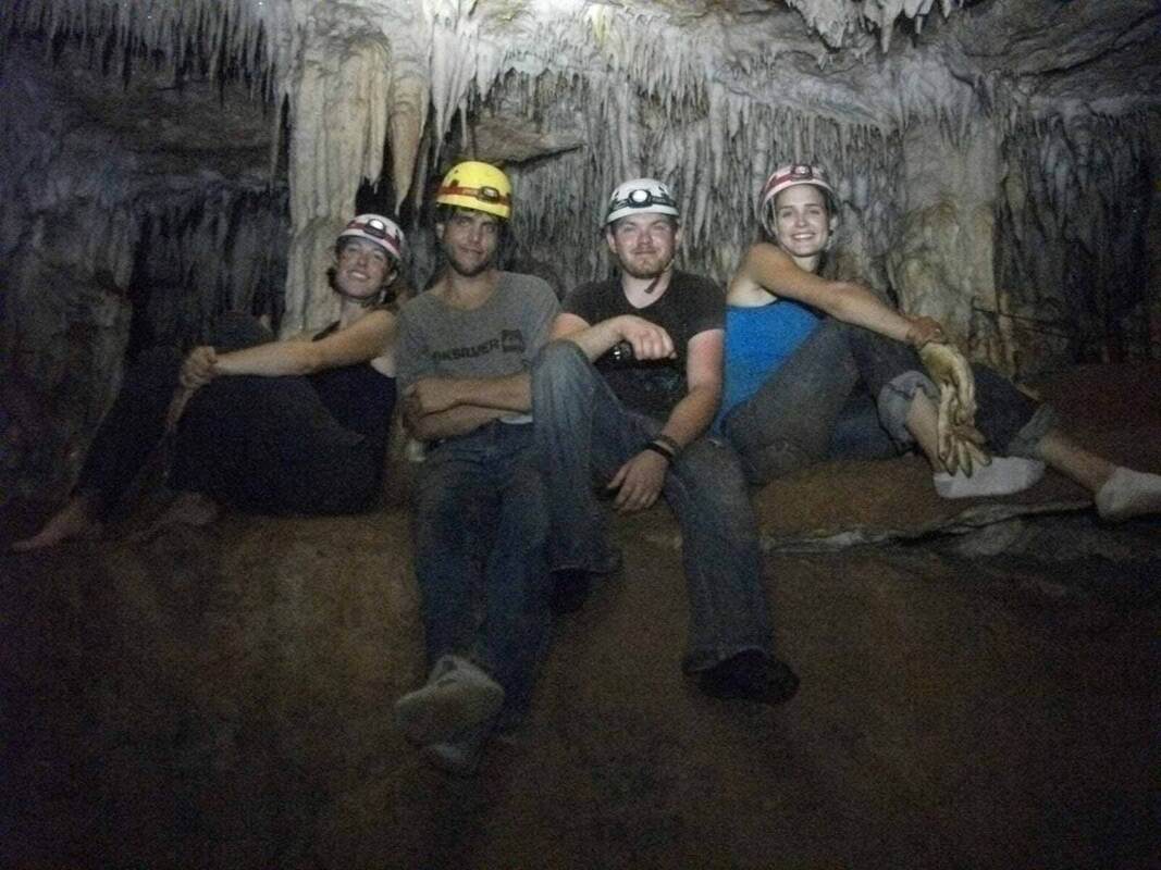
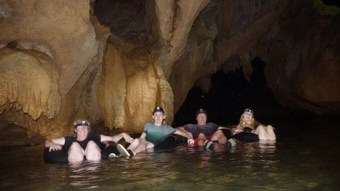
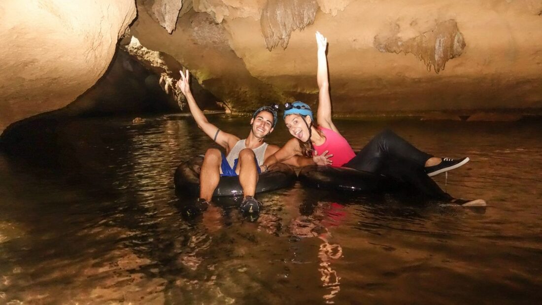
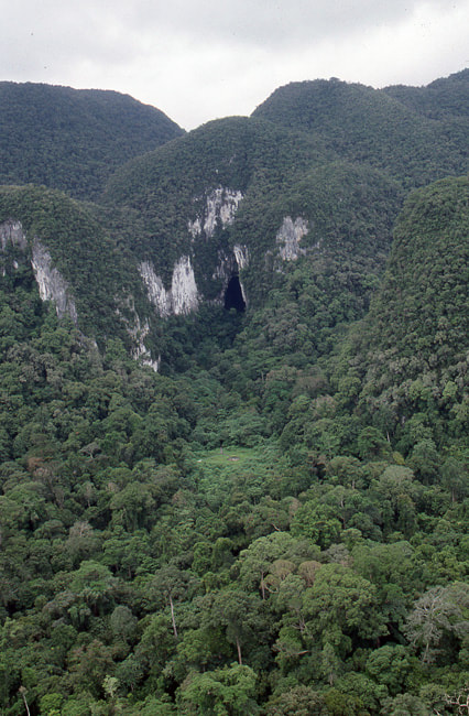
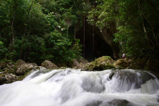
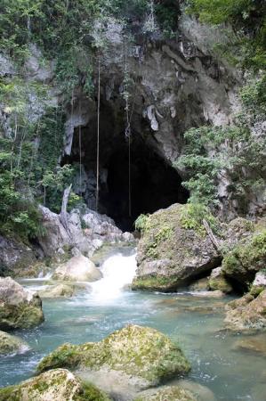
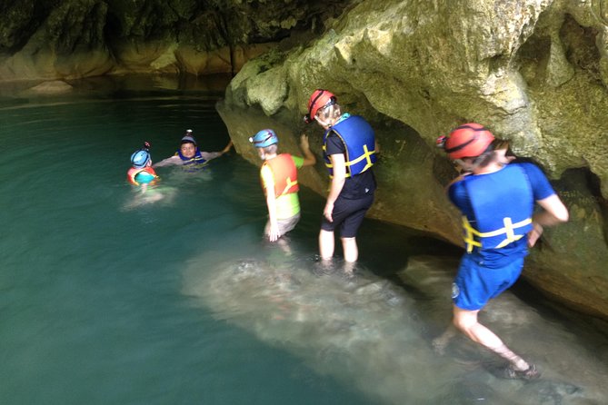
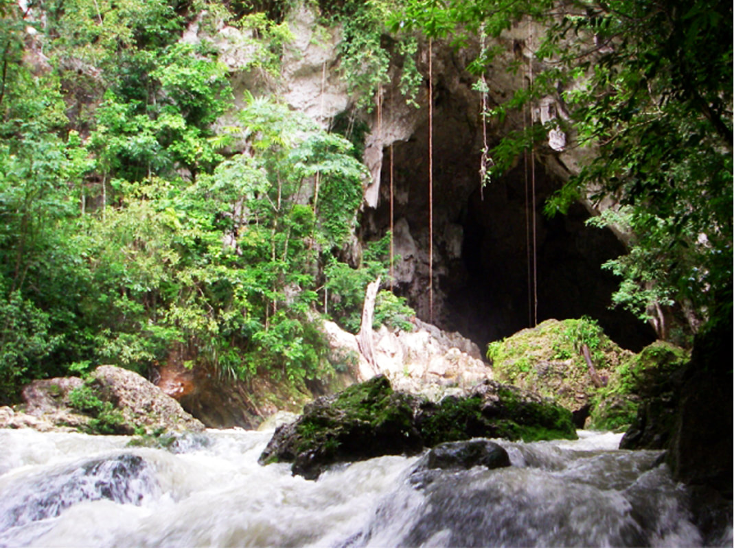
Nohoch Ch'en Sinkhole Nestled deep within the Chiquibul National Park lies a series of massive sinkholes. The Nohoch Ch'en Sinkhole, largest of which is nearly 1,000 feet wide and 600 feet deep, is about the same size as the famous Blue Hole (located at Lighthouse Reef Atoll). This sinkhole lies in a massive karst environment (which consists of about 40 other sinkholes). A karst environment exists when there is a series of underground caves which begin to collapse, losing their roof and creating a sinkholes. This karst environment is home to many unique features. Nohoch Ch'en the largest sinkhole in the area, is unique in the fact that there is only one small bridge of jungle connecting the jungle at the bottom of the sinkhole to the surrounding jungle, meaning it is a relatively isolated habitat. Within the sinkhole, team members found many species of reptiles and amphibians, rare ferns and orchids, and a possibly nesting pair of the incredibly rare Orange Breasted Falcon. Perhaps one of the most breathtaking discoveries was the remaining evidence of the significance of this sinkhole to the Ancient Maya. Within and surrounding the sinkhole, many structures, plazas, pottery, and other evidence was commonplace. Inside the sinkhole itself, many artifacts were found including 4 unbroken pots high up the cliff face in a small cave. Nohoch Ch'en is but one of many amazing features of the Chiquibul, but it is not without it's threats. Deforestation and incursions from over the border threaten this beautiful land, and it is up to the govering rangers of FCD (Friends of Conservation & Development), and all of us to protect it. The Red Line shows the Chiquibul Cave System (Going from Kabal Cave (in Belize) & extending to the XIbalba Cave (in Guatemala) The yellow dots, represent all the sinkholes in the area. You can see the location of the Nohoch Ch'en Sinkhole. CHIQUIBUL CAVE SYSTEM CHIQUIBUL CAVE SYSTEM Each year, rain falls on the non-carbonate rocks of Belize’s Maya Mountains and flows west toward the karstic Vaca Plateau. The Chiquibul River goes underground connecting the Chiquibul System’s Kabal Cave Group, which connects (4) caves, by one waterway passage (the Chiquibul River). The cave system consists of four big caves and numerous sinkholes, which have been extensively explored during the last 30 years. Actun Kabal (Kabal Group) - This upper section of the Chiquibul Cave System has over 12 km of mapped passages, with a depth of -95 m. Included is Chiquibul Chamber, at 250 m by 150 m one of the world's largest caverns. 1. Actun Kabal Cave - The upper end of Kabal Cave System Group there is ponded waters with large, washed-in rotting trees and organic debris. Downstream the system holds less water and organic material because fewer collapses intersect the cave. Passages in the cave are generally 10-60 m wide and 10-30 m high. The downstream end of the Kabal Cave System Group is a valley collapsed passage that ends at the entrance of the Actun Tunkul. 2. Actun Tunkul Cave (Stone Drum) - Includes Belize chamber with dimensions of 300m by 150m by 65m, it is one of the largest natural caverns in the world. TunKul was connected with Cebada cave in 1999, resulting in a 39m long cave. Most of the floor is a thick deposit of sand and silt laden with organic debris. The cave ends in a deep sump about 500 m from the upstream end of Cebada cave. 3. Cebada Cave - Cebada Cave and Tun Kul were linked in 1999; at 39 km it is the longest cave in Belize. The entrance to Cebada Cave is 1.5 km east of the Guatemalan border at the base of a deep collapsed sinkhole, like the other caves of the Chiquibul System. The passage is similar to Actun Tunkul but has more side passages and the side passages tend to be longer. Downstream from the Cebada entrance, the Chiquibul River flows about 2.2 km and sumps just before reaching Guatemala. 4. Xibalba Cave (Guatemala) - This downstream section of the Chiquibul Cave System is entirely within Guatemala, and is the country's deepest cave. Over seven kilometres of passages have been mapped, including some that are over 100 m wide. The cave entrance is 200 m across. The river discharges below Xibalba’s main entrance, with (2) other significant passages also occur in this cave. (Passage #1) Is a dry (upper level, 30-m-wide by 20-m-high) passage that extends north from the main entrance. (Passage #2) Begins at the Zactun sinkhole and extends as a series of lakes for nearly 3 km to the upstream end of the main passage. Exploring the Chiquibul Kabal Cave System Cavers Mike Boon and Tom Miller visited the area in 1971 and 1982 respectively, with Miller initiating the first cave explorations. Miller followed up with major international expeditions in 1984, 1986 and 1988, partially funded by National Geographic and the National Speleological Society. First expedition - surveyed the dry cave passages in Kabal and Tun Kul at the upstream part of the system, ending at a sump at the end of Tun Kul. Second expedition - surveyed dry cave passages and river passages in Cebada and Xibalba. Third expedition - attempted but failed to connect Cebada with Tun Kul. In 1990 a comprehensive cave survey was prepared by Steve Grundy and Olivia Whitwell. Thousands of years ago, most of the landmass of Belize was covered by a broad, shallow tropical sea. One of the major rock types deposited in this sea was limestone, a rock formed of calcium carbonate. This limestone can have its origin either from biological materials like corals and mollusks, or in some cases the limestone can be precipitated directly from the seawater. Geology of the Belize Caves System Like the modern Gulf of Mexico, this shallow Cretaceous sea was occasionally subject to violent storms that disturbed the floor of the sea. These storms created a distinctive type of limestone rock called a breccia. Breccia is a rock that is made up of angular pieces of other rocks. The angular pieces of rock are called “rip up clasts.” These are pieces of rock several inches on a side that were torn up and jumbled about before the clasts or pieces had a chance to harden. The distinctive rock is very easy to dissolve. Almost all limestone is soluble in a dilute solution of carbonic acid. Thousands of years later, these Cretaceous limestone formations were uplifted on the northern flanks of the Maya Mountains. After these mountains were uplifted, water would run off the crystalline rocks, and come into the outcrop of the Cretaceous limestone. As the rainwater fell through the atmosphere, it would react with carbon dioxide in the atmosphere. After the rain fell into the soil on the crest of the Maya Mountains, the water would absorb additional carbon dioxide from decaying plant material. The rainwater turns into a weak acid, which then reacts with the limestone rock. The acidic rainwater enters the limestone rock, and travels along zones of weakness called joints. Joints are microscopic cracks in the rock that are produced by mountain building processes (tectonics) and by earth tides (similar to oceanic tides). Water finds it easier to dissolve into the limestone than to flow across the limestone outcrop, creating a karst landscape. Nohoch Ch'em Sinkhole, as it sits in a karst landscape. Karst Landscape - This process of solution produces a distinctive type of landscape characterized by caves, sinkholes, and a lack of surface drainage. This landscape is called a Karst landscape, named for a region in former Yugoslavia. These processes of solution are accelerated in a tropical climate, so Belize is an example of a tropical Karst environment. The karst landscapes evolve though various stages which can be called (1) Youth Stage, (2) Middle Age Stage, and (3) Old Age Stage. The Cave Branch area, is part of the Old Age Karst landscape. One of the distinctive features of an old age landscape is a feature called a Karst window. Karst Wndows - As caves come to intersect with the land surface, they begin to collapse. This means that caves gradually lose their roofs. An underground river like the Sibun or Caves Branch River will run intermittently through the caves and above ground. Eventually, the caves will completely collapse, and the caves will be replaced by a valley without a roof. Karst Window - In A Old Age Stage - Kartst Landscaping This is similar to what you find in the Chiquibuil As the caves collapse and are destroyed by erosion, a single cave that was once very large (or long), becomes divided into a series of shorter caves. Many side passages become separate caves, like the Crystal Cave for example. Underground Cave Rivers & Streams - Cave rivers or streams, are active waterways. This means during rainy season (in summer), and hurricane season (in the fall), the cave can be completely fill with water. This is evidenced by large logs which are jammed into the roof of the cave ceiling. The cave stream also carries a great deal of sand and cobble-sized gravel. Some of this river gravel has its origin in the crystalline rocks of the central Maya Mountains. The main component of these river gravels is from chert or silica nodules that are part of the original limestone rock. These underground rivers behave much like surface ground rivers. Which means these river channels have a meander system similar to a surface river. Meandering rivers can change their course, and create what are known as high water levels, or abandoned meanders. As the limestone dissolves, it is redeposited in the caves as flowstone and dripstone. These caves then become full of stalagmites, stalactites, and other types of cave formations. The formations that are near to the water level are often redissolved during the higher water levels. This is a reminder that caves have a life of their own. Caves can be youthful, they grow old, and finally they die, as they are eroded away. The Chiquibul Cave System is an excellent example of a mature Karst landscape, and the site reminds us that nothing, in geology or life, is forever. Help us to protect this awesome natural wonder. Examples of Karst Topography NOHOCH CHEN SINKHOLE EXPEDITION Nohoch Ch'en Sinkhole Expedition In early 2015, a team of 22 people set out to reach the Chiquibul National Forest in Belize, to discover and explore the Nohoch Chen Sinkhole. A massive bowl with sheer limestone walls, dropping 500 feet below the jungle, and brethtaking views. Nohech Ch'en Sinkhole Expedition (as told by Marguerite Bevis (Jim's Wife) The seeds for the Nohoch Ch’en Expedition were planted years ago when Neil Rogers flew over the Chiquibul Forest and took the first images we had ever seen of the giant sinkhole. Jim Bevis (owner and operator of Mountain Equestrian Trails), in Cayo kept this photo over his desk for some twenty odd years. This was one expedition he was determined to make happen. In time, Jim approached Mr. Rafael Manzanero, Executive Director of Friends for Conservation & Development (FCD), for endorsement and to ensure that an expedition into this massive sinkhole would be beneficial to the development of the FCD Karst Management Program in this remote area of the Chiquibul. The answer was, “Let’s do it.” The purpose of the expedition would be to document one of the most remote, rugged and unexplored locations in Belize and to hopefully further justify to Belize and the world, the uniqueness and value of this region as a potential World Heritage site. The Nohoch Ch’en sinkhole, the largest of 49 collapsed doline formations that are located mostly over the Chiquibul Cave System, is located in an area where surface water is very scarce, making it challenging to explore for long periods of time. Very little scientific information was available for this region of the Chiquibul National Park, let alone the forest environment at the bottom of the 650’ wide and 450’ deep sinkhole. In the year 2000, several members of the Millennium Expedition descended by rope into the sinkhole and made brief observations, but time did not permit exploration and little data was collected, as this was not the main focus of their expedition. Jim spent months studying maps, making lists, planning every detail. He assembled a seasoned exploration team for the project: Jim Bevis, expedition leader, Marguerite Bevis (myself), camp nurse and communications coordinator, and our son, Arran Bevis, area exploration leader, have all led and outfitted expeditions into the Chiquibul since the early 90’s. Jim Allan, a world-class alpine climber and explorer, instructed and supervised the difficult technical climbs required. Neil Rogers is an adventure travel specialist who took the photo that inspired us all. Tony Rath, photographer extraordinaire, who’s well known images have attracted worldwide attention to the beautiful Jewel that is Belize, offered major support during the planning and implementation phase. Therese Rath, Tony’s lovely, vivacious, and energetic wife, was invited along to assist Tony and to cook, which she did amazingly. Bruce Holst, of The Marie Selby Botanical Gardens is perhaps the world’s top specialist in epiphytes and other tropical forest plant species. He has been doing research in Belize for over 20 years and has collected and catalogued over 10,000 species of different flora here. Bruce’s assistant, Ella Baron, founder of the Caves Branch Botanical Gardens, also became a part of the team. They would spend all day finding and mapping new specimens, and then work for hours in the evenings sorting, identifying and pressing, plus saving live specimens for various botanical gardens, including the National Herbarium in Belize. Other team members included Giovanni Martinez, level 3 rope rigger and natural history expert, as the rescue technician and lead medic; Nickolas Lormand, a film student from New Mexico; Joey Martinez, camp cook and “chain-saw Ninja”, when it came to clear the old logging road for the expedition to navigate deep in the Chiquibul; Hugo Orellano, camp cook and maintenance man; and Jairo ViaFranco, the “bush”mechanic who was able to fix anything and saved the day on several occasions. The FCD Rangers were essential team members. Gliss Penados and Boris Arevalo contributed significantly to the scientific component of the expedition gathering data and mapping areas by GPS. There were other FCD Rangers whose vigilance and knowledge of the area, made for a safe working and living environment. These are the brave sentinels of the Chiquibul. They kept guard day and night and reported their observations of the presence of potential intruders. Their dedication and commitment to conserving the Chiquibul is inspiring. Having loaded two trailers, one with supplies, the other with passengers, twenty team members began the journey on January 26, 2015 into the deepest parts of the Chiquibul Forest Reserve. We drove the tractors/trailers to FCD’s Tapir Camp where we spent the first night. We travelled the good road almost to Millonario but at that point, we had to reopen an old logging road for about ten kilometers to the base camp location at the pass below Nohoch Ch’en. Reopening the road took three days. On the fourth day, after hours of backbreaking labor, just before dark, we set camp at our final destination. MET donated a Weatherhaven 20’x20’shelter to FCD. This was an opportunity to instruct the FCD Rangers to set it up for use as a base camp facility. The tent housed a charging station for everyone’s electronics and was powered by a small generator for a few hours a day to charge the 12 volt batteries for continued use after the generator was turned off. A large table was in the center for food preparation and serving. Along the edges of this tent was storage for food and equipment. A water station was constructed to filter the dark tea-colored water brought from a Maya aguada every other day by tractor. After filtration the water was still slightly colored but purification drops were added for additional protection and nobody became ill. On the first morning at the base camp, the scientists and photographers went to the top of the sinkhole for the first glimpse and images of this magnificent natural wonder. Others stayed in camp to set up the large shelter and a kitchen and build sanitary facilities. Thus began the daily routine of exploration and discovery. While some descended into the sinkhole by bosun’s chair, others continued to search for a source of water closer to camp and for an above ground entrance to the giant underground chambers of the Chiquibul Cave. The scientists were constantly at work searching for epiphytes, and they were excited by what they found. Dr. Holst found over 50 species of orchids alone. Specimens have been sent to Marie Selby Gardens. At the bottom they discovered large boulders covered with mosses, ferns, and orchids, and a profusion of epiphytes. Getting to the bottom of the sinkhole was not easy. A Harken winch helped to lower people down to a ledge about a third of the way down into the hole and then they could carefully make their way to the bottom. Each member was carefully harnessed and double checked for safety before descending or ascending. Team members discovered small shallow holes in the vertical walls all around the sinkhole. One small cavern could be seen from across the rim and at the entrance were large Mayan pots. Climbers spent a day and a half accessing this cave, to photograph the three large storage urns. What we know for sure is that the bottom of the sinkhole had not been explored or looted by modern man and it is extremely rich with various plants and epiphytes. Bruce Holst called the sinkhole and its rim, “exceptionally rich beyond words.”The only mammals seen in the sinkhole were Spider Monkeys that climbed effortlessly in and out of the sinkhole via cascading vines. A pair of Orange-Breasted Falcons were seen every day and are likely nesting in the sinkhole cliffs, but no nest was seen. Slate-colored Solitaires could be heard singing their incomparable flute-like song most days. There also appears to be Mayan ceremonial temples on the west and east rims of the sinkhole and temples with plazas were found for miles in every direction near the sinkhole hill. Ancient Mayan agricultural terraces were everywhere. It became evident that the Maya did climb down into the sinkhole to build ceremonial places to leave pottery or mementos, presumably to honor the dead. It is unlikely anyone lived there. There is no water in the bottom of the hole; however, possibly it was there in the day of the Maya. Nohoch Ch’en means great well and water was a precious resource then and now. There was an aguada at the base of a Maya site near our base camp, which still holds water today. There was very little water elsewhere – a few muddy puddles but no creeks, no rivers. Water is the major limiting factor in planning this and future expeditions. Also evident during the expedition, is that the area is heavily trafficked by intruders. There was a lot of Guatemalan branded trash around their campsites and trails. They are not taking just Xate; they are taking valuable hardwoods and wildlife and leaving behind garbage. The area is at risk of becoming one big Guatemalan milpa. The issues are complex and there is no simple answer. In order to protect the Chiquibul, FCD requires the finances to sustain the efforts on the ground. Concerned citizens at home and abroad can help by supporting FCD. To know more on how to help visit the www.fcdbelize.org website. The Chiquibul Forest is rich in biodiversity. The bottom of the sinkhole is a virtual time capsule of plant specimens and undisturbed Mayan relics. Mayan terraces and buildings abound. Consider that also within the Chiquibul Forest is the natural bridge, “Puente Natural” and the Chiquibul Cave System, the largest cave system in Central America, not to mention the Mayan city of Caracol. The Upper Macal and Raspaculo Rivers are nesting grounds for the endangered Scarlet Macaw and have an abundance of wildlife. Let’s not forget that these are the headwaters for the Belize River, possibly your drinking water. The Chiquibul Forest is important not only for Belizeans but for the world. It is our unique and irreplaceable natural and cultural heritage. Photo Credits: by Tony Rath and Neil Rogers 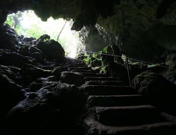 St. Herman Cave is located in the Blue Hole National Park (aka Mountain Cow Cave). The Government of Belize acquired a part of the site back in the 1960's. Then in the 1970's, they purchased the remaining portion of the land. In was declared the Blue Hole National Park on November 23, 1986. In 1988 funds were raised to construct a wall to prevent erosion around the concrete staircase and a trail way, and a visitor's center was opened on May 8, 1996. To avoid confusion with the Blue Hole (at sea), the parks name was changed in 2005 to Herman's Cave Blue Hole National Park. Getting There: Herman's Cave is located 12 miles southeast of Belmopan on the ride side of the Hummingbird Highway. The park has (2) entrances with parking. At the Herman Cave entrance, you will find a picnic area, visitor center, gift shop and trail heads. The second entrance provides easy access to the Blue Hole, a picnic area, restrooms, changing rooms, as well as other trails to the national park. The St. Herman Cave has unique geological features and can be found within 575 acres of forest. The main attraction to the park are the Herman Cave and the Blue Hole, which are connected by an underground stream. The original cavern still flows through the cave system, and forms a sapphire colored pool at the bottom of the cenote. The depression measures 100 feet deep and 300 feet in diameter. The actual Blue Hole (inland), has a depth of 25 feet. What to Bring: Sunglasses, sunscreen, towel, swimsuit, waterproof camera, loose comfortable clothing, hat, change of clothes, bug spray-repellent, no jewelry, water shoes, water & water bottle. Recommendations: * Not handicapped accessible. * DO NOT bring jewelry. * Not recommended for pregnant women. * Not recommended for persons who suffer from heart or respiratory problems. * Not recommended for persons who have back or neck problems. * Not recommended for persons who have just recently had surgery. Caves were used by the ancient Maya for performing many of their spiritual rituals. Caves were considered (by the Mayan's), to be the home of gods and the entrance to the every mysterious underworld. The underworld was called "Xibalba" and its literal translation from the Mayan language is "the place of fear". Belize's landmass is covered in limestone rock (and for this reason), Belize has one of the largest and most extensive cave systems in all of Central America. When visiting Belize, here are ten (10) caves you may want to take some time to explore. CAVE #1 - Black Hole Cave - Advance 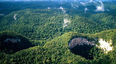 If you're looking for the trill of adventure, the Black Hole cave drop is for you. The total descent is about 300 fee deep. Starting with the first 10 feet (this gives you an unforgettable rush), into the next 200 feet. The final 100 feel will take you through the canopy of the Belizean rainforest. This experience is definitely not for those seeking an average vacation. You will need some ladder climbing, hiking and some rock climbing skills to get in and out of this cave. By the time you're done with this experience, the rush you experienced will last a long time. This is the cave you will be telling you're friends about, and is definitely worthy of being on your bucket list. CAVE #2 - Actun Tunichil Muknal (ATM Cave) Advance 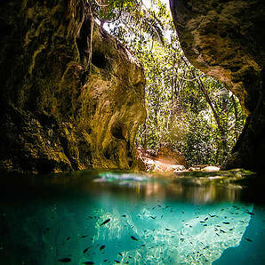 This is one of the most popular caves to explore by foreigners in the entire country. This cave has over 1,400 Mayan artifacts, that you will never experience elsewhere. There are even the remains of 14 skeletons. One in particular (is the skeleton remains of a 13 year old female), referred to as the "Crystal Maiden". This is because her remains are covered in calcium carbonate, when light hits the calcium carbonate, it sparkles in the lamp light, giving the illusion of a crystal maiden. To get to this cave, will require a 45 minute hike, where you will cross 3 streams. If you're looking for one of the top caves to experience - this will be the one, you will want to write home about. CAVE #3 - Barton Creek Cave - Moderate 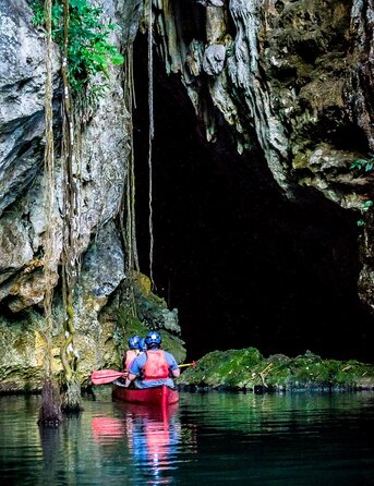 This ceremonial cave can only be experienced and explored with the help of a licensed tour guide in a canoe. This is about a half day adventure, well worth the sweat. The canoe will glide along the river and you enter the cave and leisurely float through it's passages. The interior chambers will remind you of cathedral ceilings with wide roomy passages. Barton Creek Cave was noted as being on the list for being one of the 9 most unusual and beautiful caves in the world. This is a beautiful cave to explore, seated in a canoe. CAVE #4 - Rio Frio Cave - Moderate 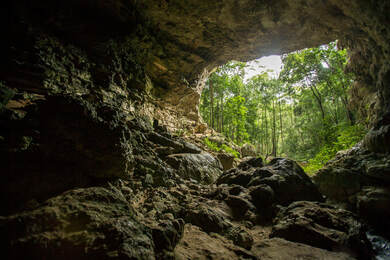 The most notable feature of this cave is its massive mouth, and it is the largest cave you will come across in Belize. The Rio Frio Cave is located in the Mountain Pine Ridge. The entrance arch is spectacular and in the rainy season, you may get to experience the river than runs through the paths of the cave. As regards physical fitness, this tour is not all that strenuous or difficult. You will want to be sure and bring a flashlight with you, to experience the cave in it's entirety. CAVE #5 - Cave Branch Cave System - Moderate 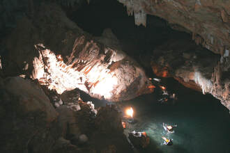 There are about three (3) caves, that make up the Cave Branch Cave System. They are: (1) Petroglyph Cave (2) Waterfall Cave (3) Footprint Cave. The names of the caves have been taken from the objects you find on the walls inside. There are embedded footprints on the walls inside the Footprint Cave, about six waterfalls (about 20 feet in height) inside the Waterfall Cave, and Mayan ancient rock drawings (from 300 to 900 A.D.), in the Petroglyph Cave. This humongous cave system has been formed by the Cave Branch River that goes through these caves. FOOTPRINT CAVE - Also known as Actun Chek in Maya, is a river-cave on an unnamed river that originates from the Maya Mountains. The river is swallowed through an underground waterway before emerging again in the jungle about 10 miles before the entrance of Footprint Cave. After a short hike you’ll jump in the river on your inner tube floating along the jungle and then into the cave. While this tour does involve some cave tubing, it’s not the traditional cave tubing. While both are river-caves, only the Caves Branch caves form unbroken tunnels that you can float right through. At Footprints, the same entrance that you tube into is the same entrance you tube out of at the end. Once inside the cave you’ll climb out of the river and begin exploring the chambers of the cave. You’ll find amazing cave formations ranging from large cathedral chambers to crystalline flow stones. However, the true beauty of Footprints Cave is its collection of Maya artifacts. Archeological exploration revealed that the cave was used for the extraction of clay and other minerals. Although such caves are known in the Yucatan, it is the only one in Belize with evidence of clay extraction. There are 3 areas of red clay deposits that contain clear signs of human digging. At the most interior clay mining site, located 450 meters (1500 feet) from the cave entrance, a clay monkey face was sculpted by the Maya complete with a ceramic jar placed immediately below it for offerings. Even further back in the cave, past the limits of the tour, is a set of Maya footprints, giving the cave its name. Archeologists theorize that these caves were used for ritual activity. The fact that the locations they used were deep within the cave and associated with ceremonial features such as the clay monkey face all support this theory. In another location in the cave, a finely chipped flint knife was found, similar to the sacrificial knives used by the Maya. All of this suggests that the clay may have been used specifically for making ceremonial vessels painted with scenes of the underworld, which they called Xibalba (Place of Fright). CAVE #6 - Crystal Cave - Advance 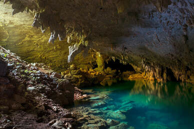 Located in the Blue Hole National Park. After a 50 minute hike through the tropical forest to the cave entrance, you will rappel 15 feet into the entrance to the cave. Traverse through the large chambers of the cave, sliding down mud ramps and scrambling along rocks. Your guide will then show you the shimmering formations in the cave, along with artifacts and the skeletal remains. You will witness the remnants of the past while discovering centuries-old fire pits, wall carvings and pottery as well as impressive crystal formations and stalactites and stalagmites. This tour is challenging, but well worth the effort. After exploring the cave, everyone takes a break to enjoy a hearty Belizean lunch followed by a refreshing swim in the cool natural pool known as the Blue Hole. Cave #7 - St. Herman's Cave - Moderate 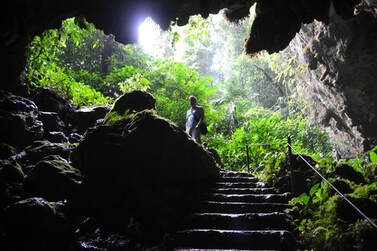 At Herman’s Blue Hole National Park there are unique geological features that can be found within 575 acres of forest rich with wildlife. The main attractions in this park, namely the St. Herman’s Cave and the Blue Hole, are connected by an underground stream. Visitors can walk 200 yards into the cave entrance unguided or can hire a guide to traverse the cave completely, seeing beautiful speleothems and Mayan artifacts. After a guided tour through St. Herman’s Cave, you can float peacefully back to the entrance of the cave on an inner tube. The Blue Hole is a cool and refreshing place for an afternoon swim. It was formed by the collapse of an underground limestone cave. In this case, the river running through the original cavern still flows through the cave system, and forms a sapphire-colored pool at the bottom of the cenote. The depression measures about 100 feet deep and 300 feet in diameter, with the actual Blue Hole at the depression’s base having a depth of about 25 feet. Cave #8 - Che Chem Ha Cave - Advance 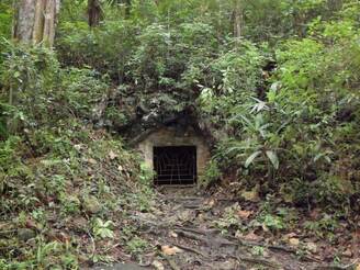 The Actun Che Chem Ha cave is located 16 miles from San Ignacio in the rolling hills of the Cayo District of Western Belize. Located on private land, the cave is accessed by a 45-minute descent, and short incline through the rainforest in the upper Macal River Valley. After approximately 1.5 hours in the cave, we hike further down in the river valley to a small farm house, where our host family serves us lunch with a beautiful view over the Macal River. The Che Chem Ha Cave entrance is a small hole which leads to the main tunnel (200m long), this tunnel connects to a large chamber which then connects many other small chambers high up within the cave. This cave contains many ancient Mayan atifcats so it is heavily protected to ensure the preservation of these items. This cave was discovered by a local farmer. Within its chambers are many artifacts and artwork, for this reason it a favorite of many archeologists. The chamber walls are lined with "ollas" or storage jars, and you can reach the high chambers through ladders inside the cave. You can only explore this cave with a licensed tour guide, as the government monitors and guards this cave very well to stop the looting of artifacts. CAVE #9 - Laguna Cave - Moderate 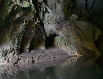 Laguna Cave was named after nearby town Laguna, a small Kekchi Maya village located some 18km west of Punta Gorda. The cave is located one hour walk from town, so it is essential to hire a local guide at Laguna. The entrance is located above a steep slope, which is easy to climb with the aid of a four meter long wooden ladder. The entrance passage leads steep upwards to a side branch on the left, then a second side branch to the right. Finally it leads to the second entrance where the cave is left. The first side passage which may be visited, is right at the entrance. The eight meter deep slope is difficult to climb and probably not suitable for every visitor. It leads to an impressive lower chamber with a skylight in the middle, leading back up to the higher level. The first side branch is a crawl leading to a huge shaft, the second leads to a third entrance, a huge protal with a wooden bench, which is a fine outlook towards the village of Laguna. The cave is dry and easy to visit, there are speleothems and some bats living in the crevices. There is also some archaeological evidence, but there have been no excavations so far. The cave requires no special gear, nevertheless we recommend good shoes, helmet, headlamp, and gloves. CAVE #10 - Tiger Cave (aka San Miguel Cave) Moderate 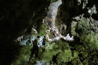 So the story goes...........many years ago, a cub of a jaguar was chased into the cave's mouth by a local dog. Thus the cave came to be known as the "Tiger Cave". Because it is located so close to San Miguel Village, it is also sometimes called the San Miguel Cave. It is recommended that you get a licensed guide for exploring this cave properly. The remnants of the farming practices of the ancient Maya can be witnessed in their full glory in this cave. The entrance is immense and vaulted, as you find yourself staring at 500 feet high ceiling, and interior chambers with dripping stalactite (that resemble Roman fountains), and pure mineral deposits that look like pots of white gold. Large gaping holes in the ceiling of the cave soon give way to shafts of sunlight that reveal an amazing sight.Smooth, rain-washed indentations on the cave’s limestone floor and large numbers of broken pottery shards scattered on a ledge become visible as you travel onward into the cave. No streams or creeks run through the entrance chamber, although, deeper into the cave, you will have to cross water. CAVE #11 - Hokeb Ha Cave (aka Blue Creek Cave) Advanced 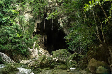 Also known by its English name "Blue Creek Cave", Hobkeb Ha Cave is located near the Maya village of Blue Creek in southern Belize (in the Toledo district). Despite its somewhat remote location, Hokeb Ha is a popular destination thanks to its outstanding gorgeous natural scenery that includes a waterfall. This cave is about a 20 minute hike from the village. Hike a well marked, sometimes cemented path along the creek, until a clearing appears. Pass through the research station in the clearing finding the wide trail on the other side. Follow this trail, bearing toward the stream on your left till you meet a wide dry creek filled with white stones. After crossing the dry creek, the trail may become vague, but continue along the creek heading upstream along the base of increasingly steep limestone fliccs. In a few minutes, a 10 foot waterfall and the main cave entrance appears. Long vines hand from the sheer rock wall above the cave mouth. The huge cave entrance is carved from the summit of a hill where the Blue Creek gurgles up from underground. The creek runs out of the entrance of the cave cascading over limestone boulders, under the towering shadows of the surrounding rainforest. Archaeologists have found many Late Classic cermaic and an altar inside the cave, leading them to theorize that the Hokeb Ha cave was used specifically for ceremonial purposes. CAVE #12 - Actun Chapat Cave - Advanced 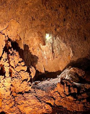 Actun Chapat Cave is one of the best caves in Belize to explore! Inside this massive cave system are crystalized cave formations, flying and crawling cave critters, and a beautiful cenote, also known as the skylight. Actun Chapat is one of the best caving experiences in Belize! Similar to some of Belize’s famous caves such as Actun Tunichil Muknal (ATM) Cave and Crystal Cave, Actun Chapat Cave holds secrets to ancient Maya rituals and sacrifices through the pottery and skeletal remains inside the cave. The name “Actun Chapat” means “Centipede Cave;” and if you can make the connection, the cave is littered with centipedes inside. Don’t worry, they won’t bite. Once we got inside the cave, we were met with grand crystalized rock formations, many broken pottery pieces, and, of course, centipedes! Interestingly, each pottery piece is said to have been brought in by ancient Maya priests to conduct rituals and sacrifices for their deities. After the rituals were performed, they were then broken to release its spirit. Many of the pieces in this cave date back to as early as 1800 A.D. - so fascinating! Exploring Actun Chapat, we entered into one of the largest chambers I have ever seen! The cave ceilings were really high, and inside was rather hollow with little formations and rocks. What made the experience even better was turning off your headlamps and hearing your voices echo inside the cavern. The sinkhole is caused by the process of carbonic acid softening of the minerals inside the limestone mountains, which later collapses. The carbonic acid comes from water that had accumulated on top of the mountains. Making it to the skylight was definitely worth all the climbing and crawling! We wanted to capture this moment with as many pictures possible. How to get to Actun Chapat? Getting to Actun Chapat takes a total of roughly 1 hour and 35 minutes from San Ignacio Town. This includes the time to get from San Ignacio to San Jose Succotz Village (15 minutes), the drive on Waterhole Road (1 hour), and the hike from Cave World Adventures to the cave entrance (20 minutes). Getting to Actun Chapat from Belize City would take 3 hours and 35 minutes. Caves are protected by the Belize Government. You will need to have a licensed guide, take you through these caves. Take with you a good quality hiking shoes, a pair of swim shoes, comfortable cotton clothing, bug repellent, sunscreen lotion, and your camera. The equipment, is typically provided by the guide: life vests, flashlights, headlamps, gloves, helmet and dry pack. What to Bring: Sunglasses, sunscreen, towel, swimsuit, waterproof camera, loose comfortable clothing, hat, change of clothes, bug spray-repellent, no jewelry, water shoes, water & water bottle. Recommendations: * Not handicapped accessible. * DO NOT bring jewelry. * Not recommended for pregnant women. * Not recommended for persons who suffer from heart or respiratory problems. * Not recommended for persons who have back or neck problems. * Not recommended for persons who have just recently had surgery. 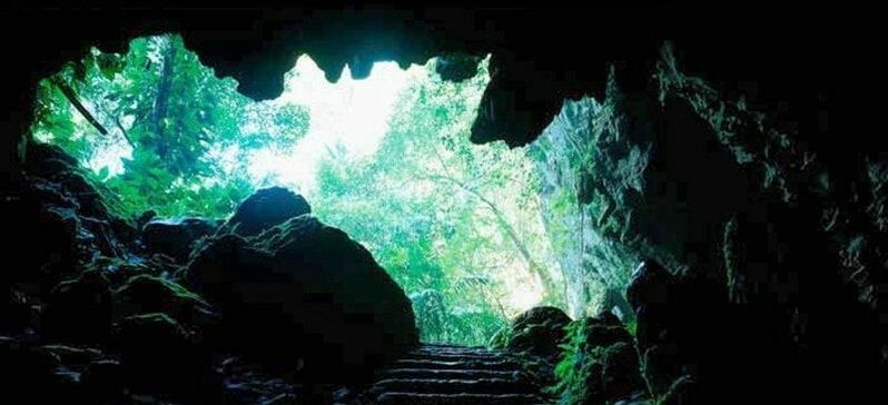 Belize has so many caves because there is so much limestone. Limestone is filled with cracks and fissures through which water can trickle and seep down. It moves down until non-porous soil, such as clay, or hard impervious bedrock, such as granite, is encountered. As the water passes through, it combines with CO2 and a weak acid is formed, called carbonic acid. If a river is passing underground, caves will be formed by abrasive erosion and create winding tunnels. Evidence of erosion, including sand and small rounded stones, will be found in caves such as this, even if the river has disappeared. In Belize, we have at least two existing underground river cave systems. The Rio Frio Cave is a remnant of an underground river, vastly larger than the stream that flows through it now. It is open at both ends, and indication that the rest of the tunnel has collapsed. The Blue Hole National Park on the Hummingbird Highway is the opposite - an underground river with a small portion of its roof collapsed, and only a small portion of the river is visible from the surface. Other cave systems are Blue Creek and Little Quartz Ridge in Toledo District; Petroglyph and Caves Branch; and Barton Creek Cave, through which you canoe to view formations. Chechem-Ha cave, used by generation of Maya for ceremonial and burial purposes, is a winding cave with a dirt bottom, lacking noticeable dripstone formations. The main type of cave (the solution cave ), is formed over long periods of time by the chemical action of the weak carbonic acid as it makes its way through existing crevices in the limestone. Eventually, caverns of varying sizes may be formed, at different levels if the water table has risen and fallen over the years. The dissolved carbonate will precipitate out as it passes into the open air of a chamber. The downward projecting icicle-like formation called the stalactite is formed from centuries worth of drips. If the drips of carbonate-laden water hit a dry floor, a buildup of carbonate may be precipitated out into a column projecting upward from the floor, called a stalagmite. If these should meet, a pillar is formed. Other striking formation such as sheet flowstone-where the water spread out in a flat sheet and deposited its load of carbonate; or the water dribbed in through a small hole in the wall to create formations that resemble folds of cloth or other exotic shapes, are found in some Belizean caves. Such formations can be found in the Rio Frio and Barton Creek Caves. The largest cave system in Belize is the Chiquibul, located near to Guatemala, west of the Maya Mountains. This has many miles of tunnels, including the spectacular Cebada. A cenote is a limestone sinkhole, formed by the action of caronic acid. Sinkholes provide evidence of underground cave systems. The most famous is the one in the Yucatan Maya ruin of Chicken Itza; however, Belize has a few of its own - the Hummingbird Blue Hole is one that is easily accessible. Cave and sinkholes are even found under the sea. The most famous in Belize is the (other) Blue Hole, located at roughly the midpoint of the Lighthouse Atoll. This drops to a depth of over 400 feet, dripstone formations are observed at 132 feet and are popular dive attractions. These dripstone formations are not quite vertical, due to continued earth movement since the cave's formation. Since limestone cave formations could not possibly have formed underwater, this provides evidence of dissolution action from when the caves were above sea level, in earth's history. Another massive cave system lies under Caye Caulker; from a small entrance on the leeward side of the island, a large shaft opens up, then shrinks down to where it can barely accommodate one person. This opens up into a massive, completely-submerged cavern some 1,500 feet in length, off to the sides are several passages that have not as yet been explored. Inside are massive stalactites that are also off-vertical. |
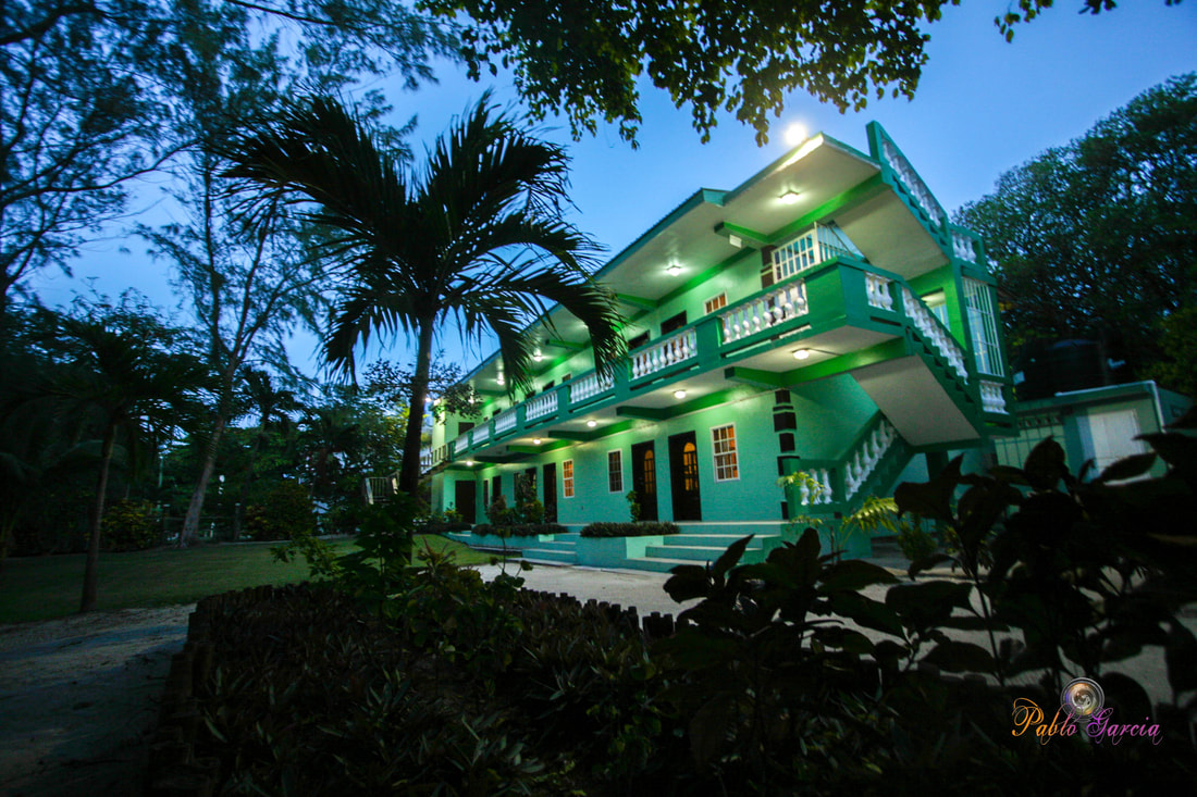
Is located on the island of Ambergris Caye, directly across from the Belize Barrier Reef, off the mainland coast of Belize. The property is nestled in a cluster of Australian Pine trees, backed to a littoral jungle, and surrounded by tropical gardens. It's about a one minute walk from the property to the beach, and a 10-15 minute drive from the island airstrip to the property.
We offer one bedroom suites (455 s.f.) of living area to include: livingroom, kitchenette, private bathroom and bedroom. We are also about a one minute walk from one of the best restaurants on the island serving (breakfast, lunch & dinner). Within walking distance you can find: (3) blocks is Robyn's BBQ (4) blocks is 2 fruit stands (5) blocks local grocery store IF YOU'RE COMING TO BELIZE TO............... If you're coming to Belize to dive the Blue Hole, descend the shelf walls at Turneffe, snorkel the Barrier Reef, explore Mayan ruins, rappel into a cave, kayak along the river through caves, zip line through jungle tree tops, hike through a cave to see an ancient human skeleton, swim with sharks, listen to Howler Monkey's, hold a boa constrictor, feed a jaguar, horseback ride through the jungle, canoe through a cave, rappel down a waterfall, sail around an island, enjoy cocktails & dinner to a sunset, climb 130' feet to the top of a Mayan ruin, rip up the jungle trails on an ATV, float through a series of caves on a tube, and sip on a rum punch..... then this is the place for you. Belize Budget Suites, offers you clean, affordable, attractive, accommodations, at prices that allow you to do all the things just mentioned. Archives
February 2021
Categories
All

For All Your Home Improvement Needs

For all Your Real Estate Needs
501-226-4400 10 Coconut Dr. San Pedro, Belize Your Ad Could Go Here
|










 RSS Feed


